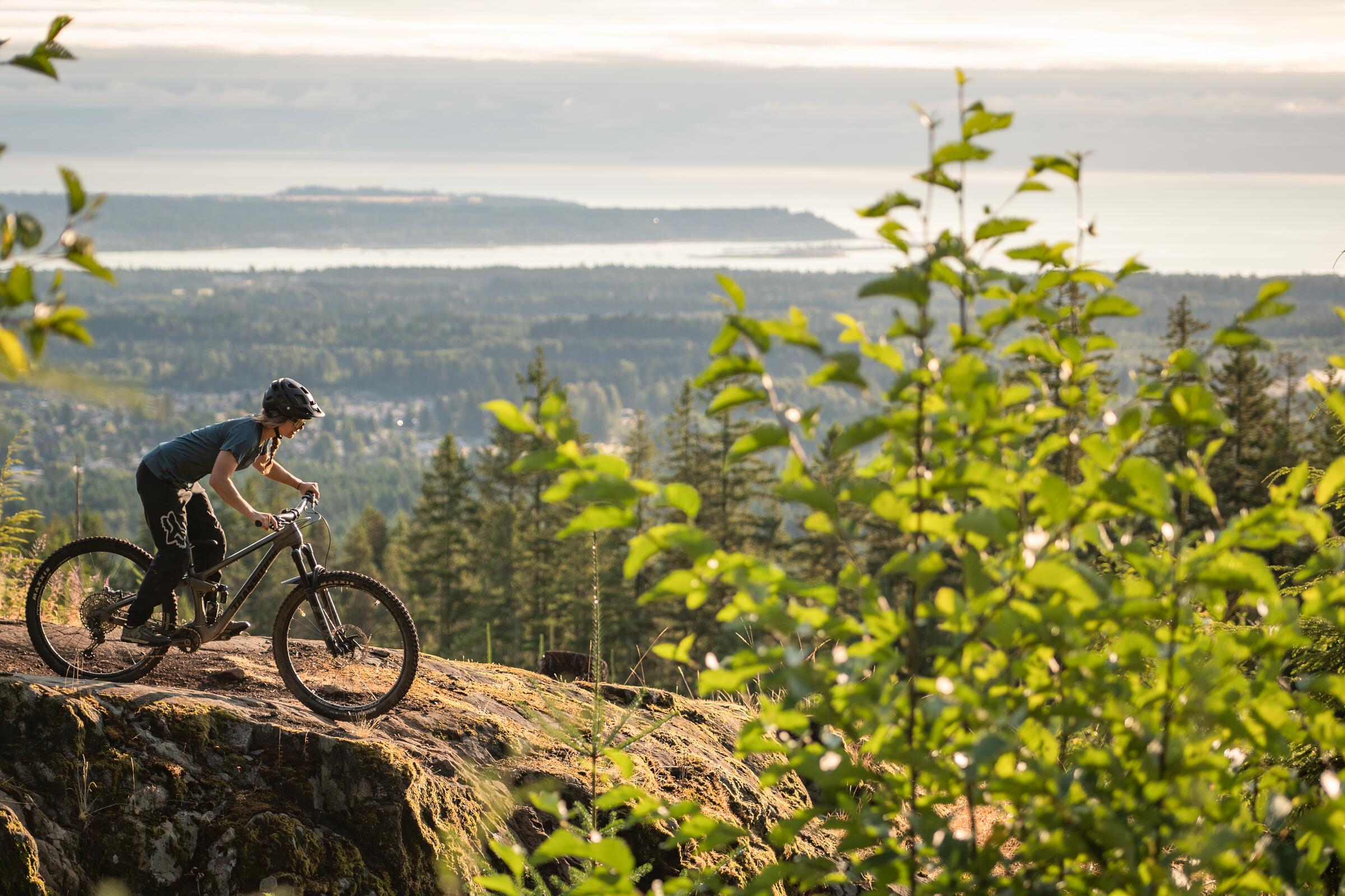
Photo: Jarrett LindalCumberland, BC
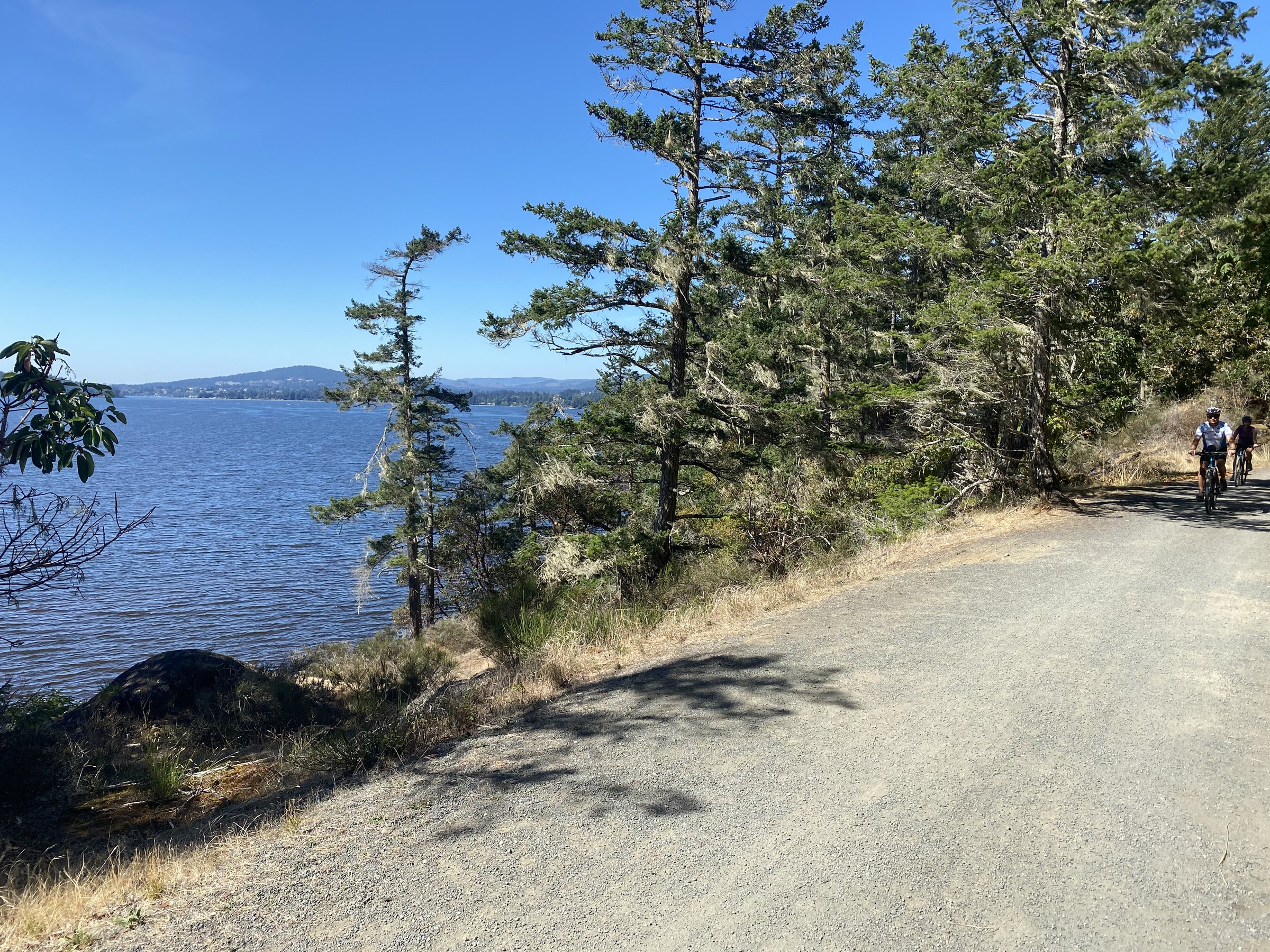
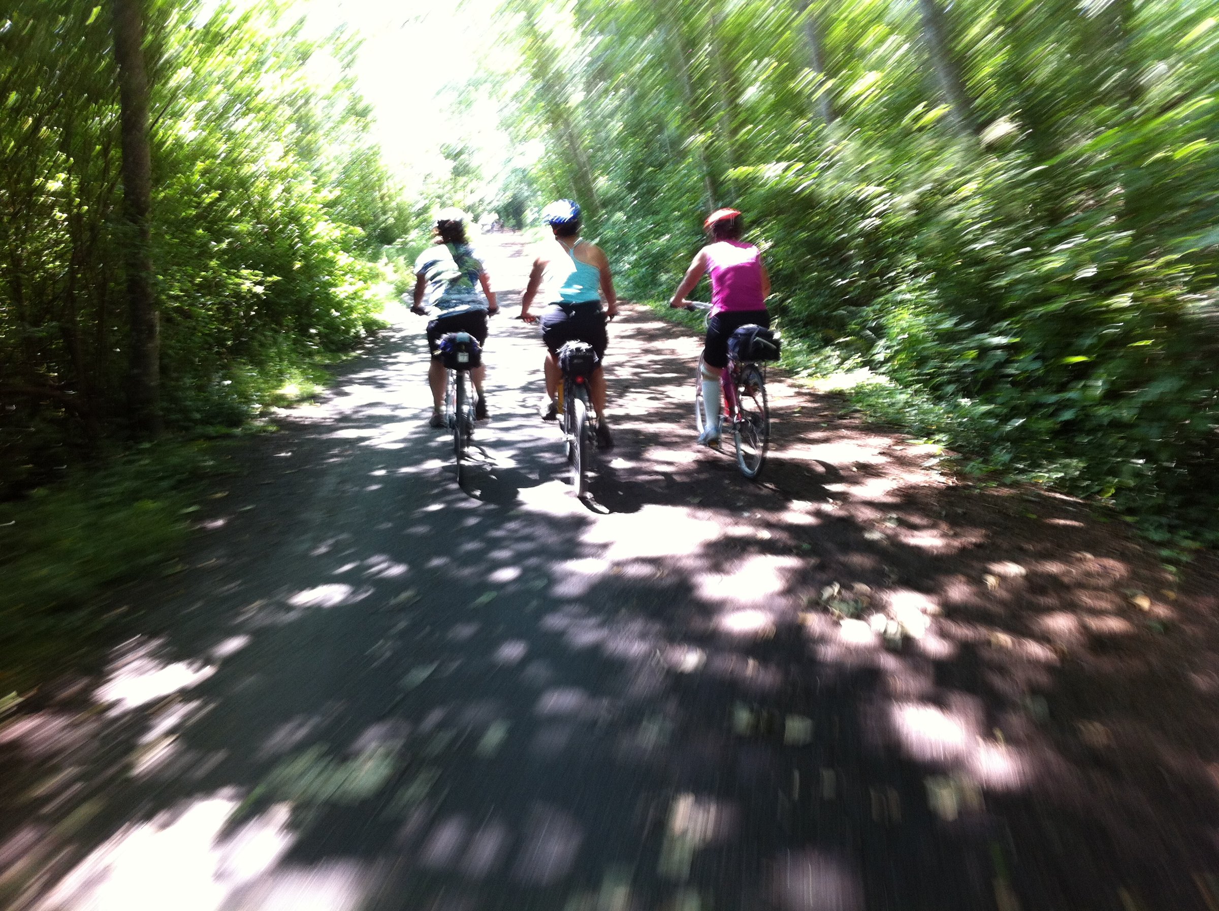
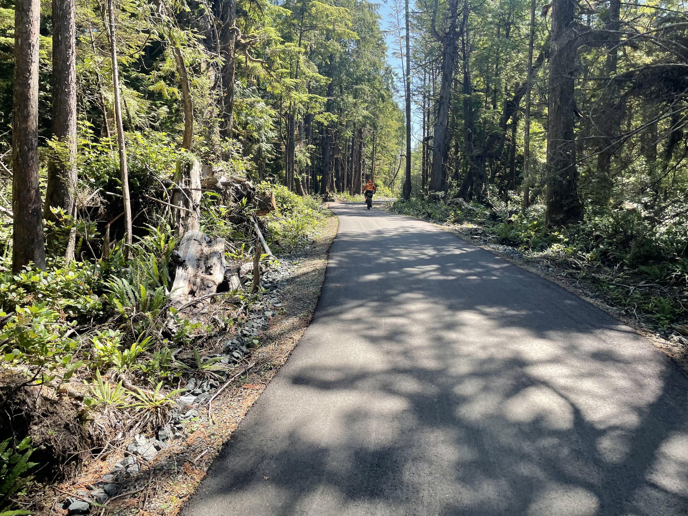
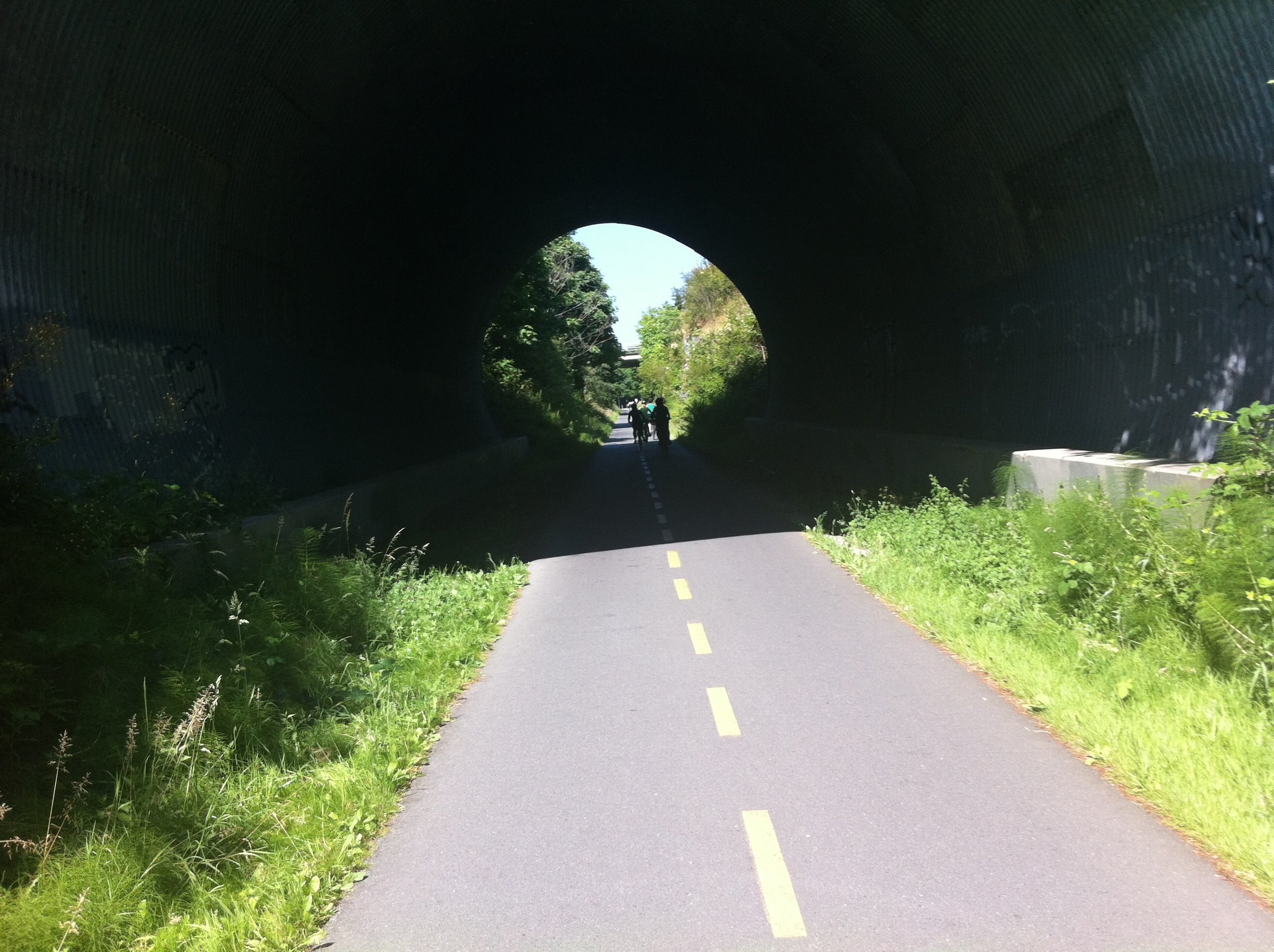
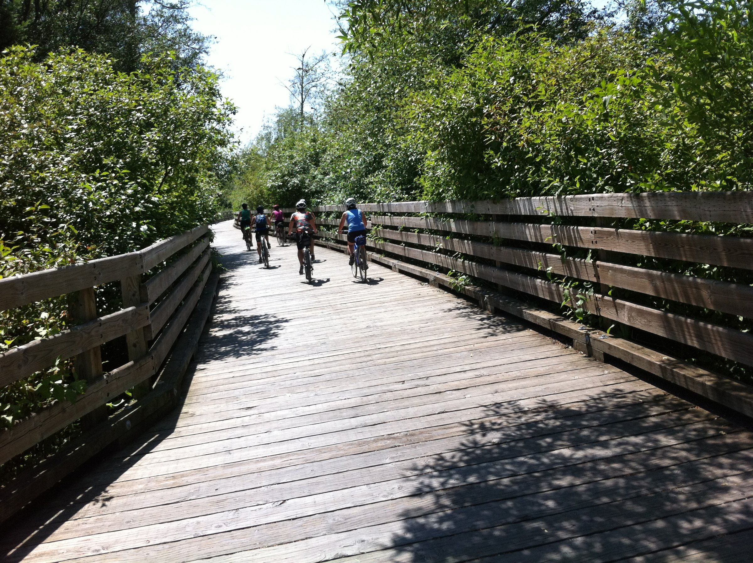
Photo: Jarrett LindalCumberland, BCThe Galloping Goose is one of BC's best-known rail trails, running 55 km from downtown Victoria out through Langford's lakes and forest to Sooke, with the Matheson Lake stretch a favourite finale. Flat, family-friendly, and paved near the city before turning to gravel, it carries commuters, tourers, and first-timers alike. Access points and transit connections along the whole length make any distance possible.
Stops, map + getting there →
The Pacific Spirit Loop: 235 km around the South Island, Galloping Goose to Port Renfrew to Lake Cowichan and home.

A 175 km South Island loop stringing together the Lochside, Galloping Goose, and Cowichan Valley trails, with a Salt Spring Island ferry hop along the way.

Salt Spring Island: ferry in, then 6 to 50 km of hilly farm roads, Saturday market energy, and cheese-and-cider stops.

The Penders by ferry: 6 to 25 km of hilly coastal lanes, vineyard stops, and beach-access side trips.

Mayne Island by ferry: 4 to 25 km of hilly lanes linking heritage sites, Japanese gardens, and a farm-gate brewery.

Saturna: the quietest Gulf Island, 11.5 to 50 km of hilly lanes ending at East Point's whale-watching bluffs.

Galiano Island: a ferry-hop to 5 to 42 km of forest climbs and coastal viewpoints, steep and quiet in equal measure.

Thetis Island: a tiny, quiet ferry escape of 1 to 30 km, where the hills are short and the pace is set by the boat schedule.

The Cowichan Valley Trail: forested rail-trail along the river from Duncan to Lake Cowichan, 6 km tasters to an 88 km loop.

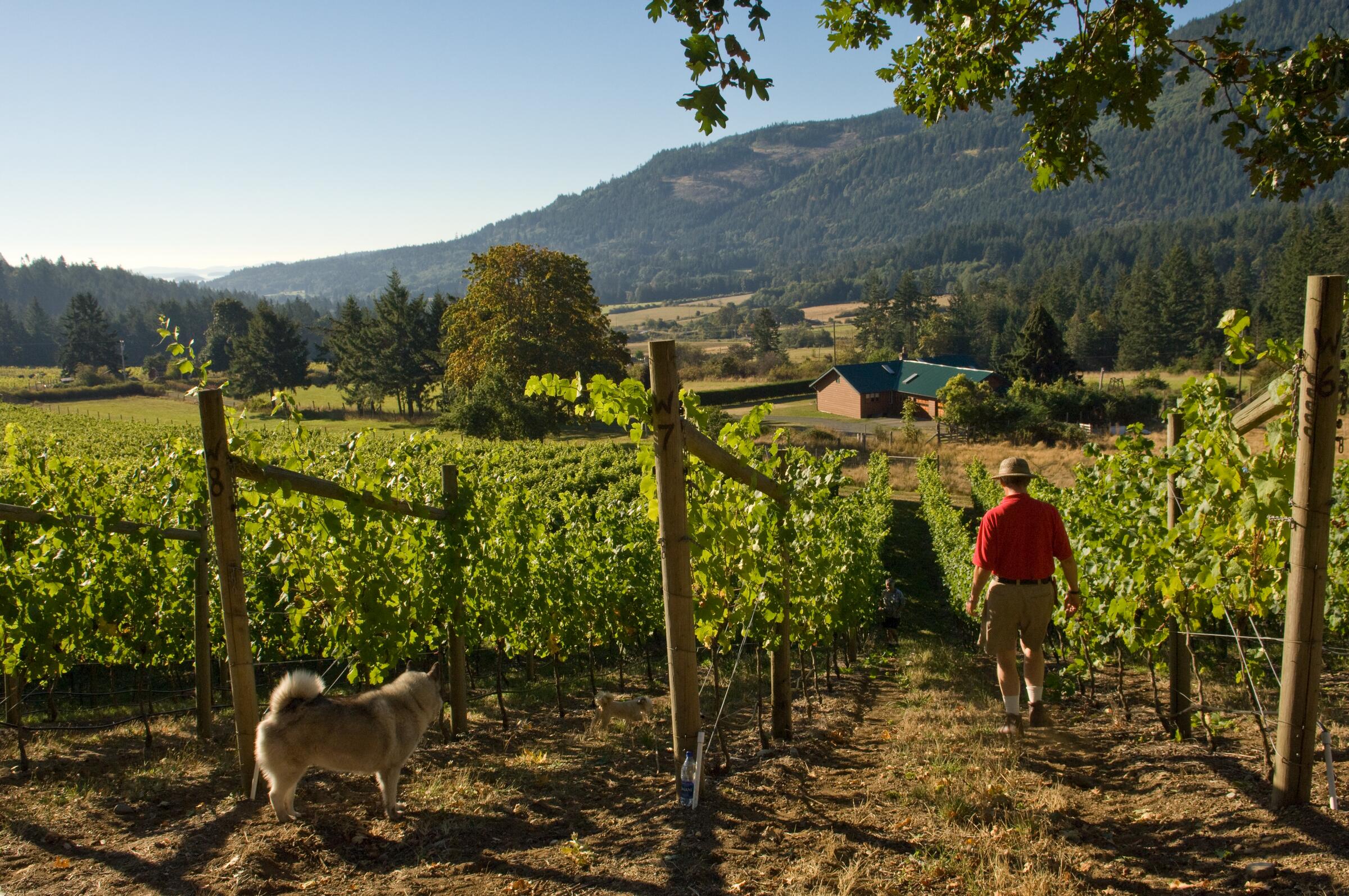
Shawnigan Lake and Cobble Hill: wine-route loops of 12 to 80 km through the Cowichan's vineyard hills.

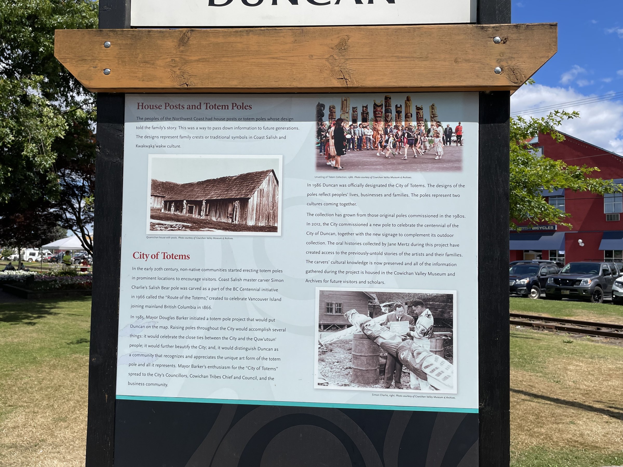
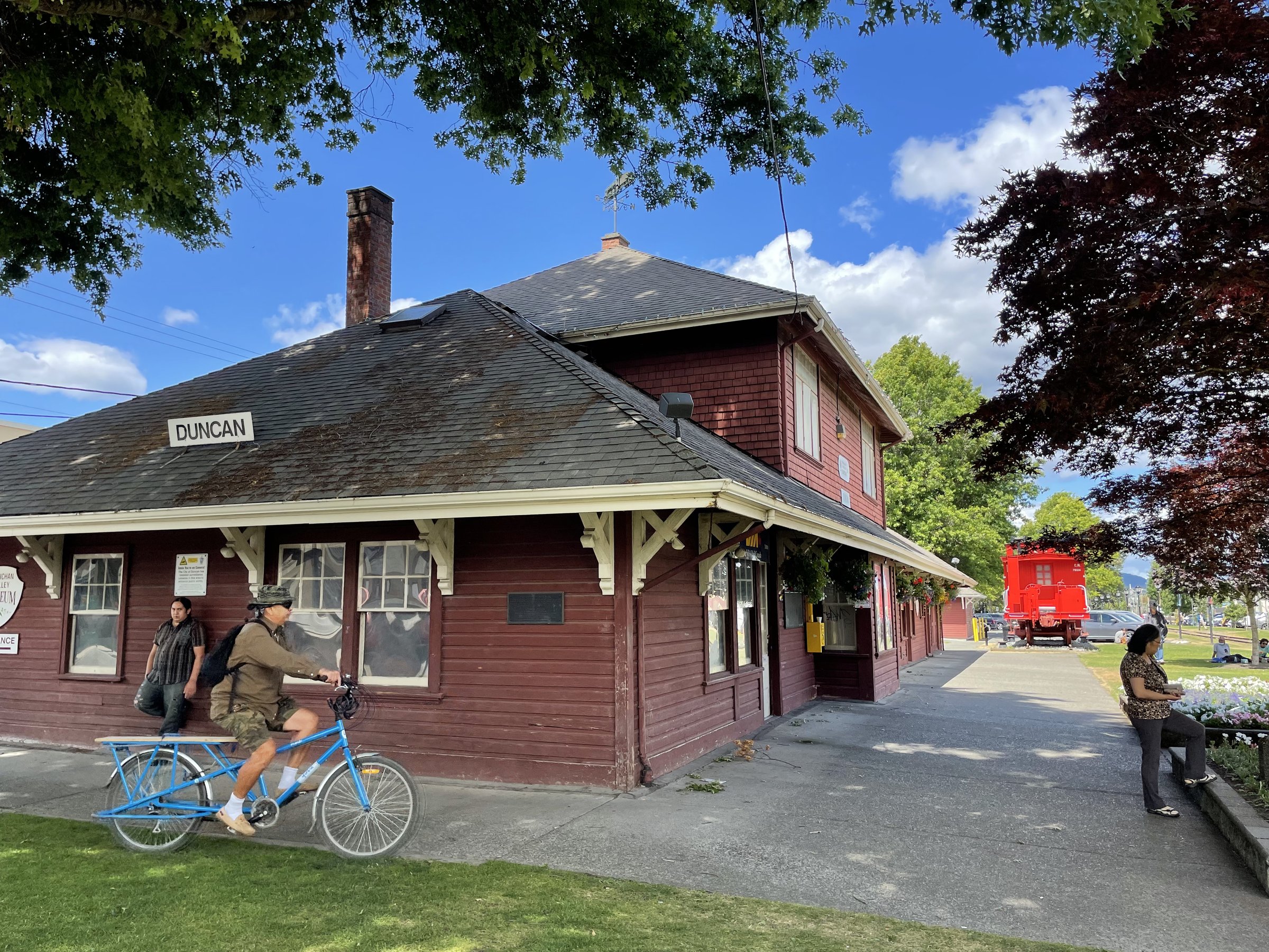
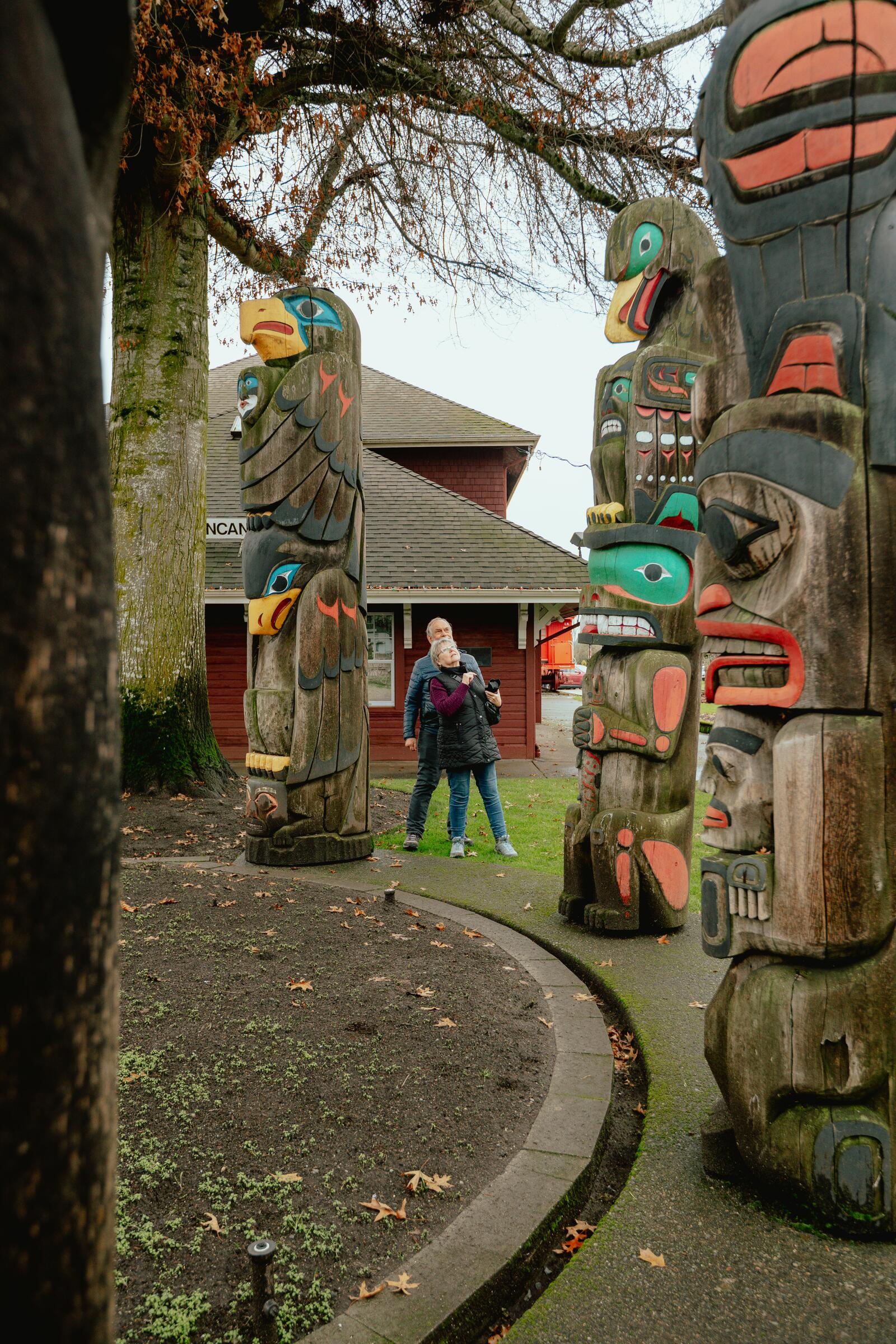
Duncan, the City of Totems, in short loops of 2 to 20 km: rail trail, dyke paths, and public art around every corner.

North Cowichan: farm and sea loops of 3 to 27 km around Maple Bay, Genoa Bay, and the historic village of Cowichan Bay.

The Chemainus corridor: flat rail-trail rides of 7 to 19 km linking Ladysmith, Chemainus's famous murals, and Crofton's ferry dock.

South of Nanaimo: coal-country rail trails, Yellow Point's farm lanes, and river parks, in loops of 6 to 32 km.

Nanaimo by bike: harbourfront walkway, rail trail, Westwood Lake, and a foot-ferry to car-free Saysutshun island, 3 to 30 km.

Gabriola, the Isle of the Arts: ferry from Nanaimo to loops of 3.5 to 45 km past studios, sandstone shores, and forest trails.

North of Nanaimo: 3.5 to 60 km of flat rail trail and seaside parkland reaching up to Lantzville.

Nanoose Bay to Parksville: 3.5 to 40 km of forest, farmland, and seaside viewpoints on the quiet side of the highway.

Parksville and Qualicum Beach: flat seaside and rail-trail loops of 4 to 32 km through beach-town country.

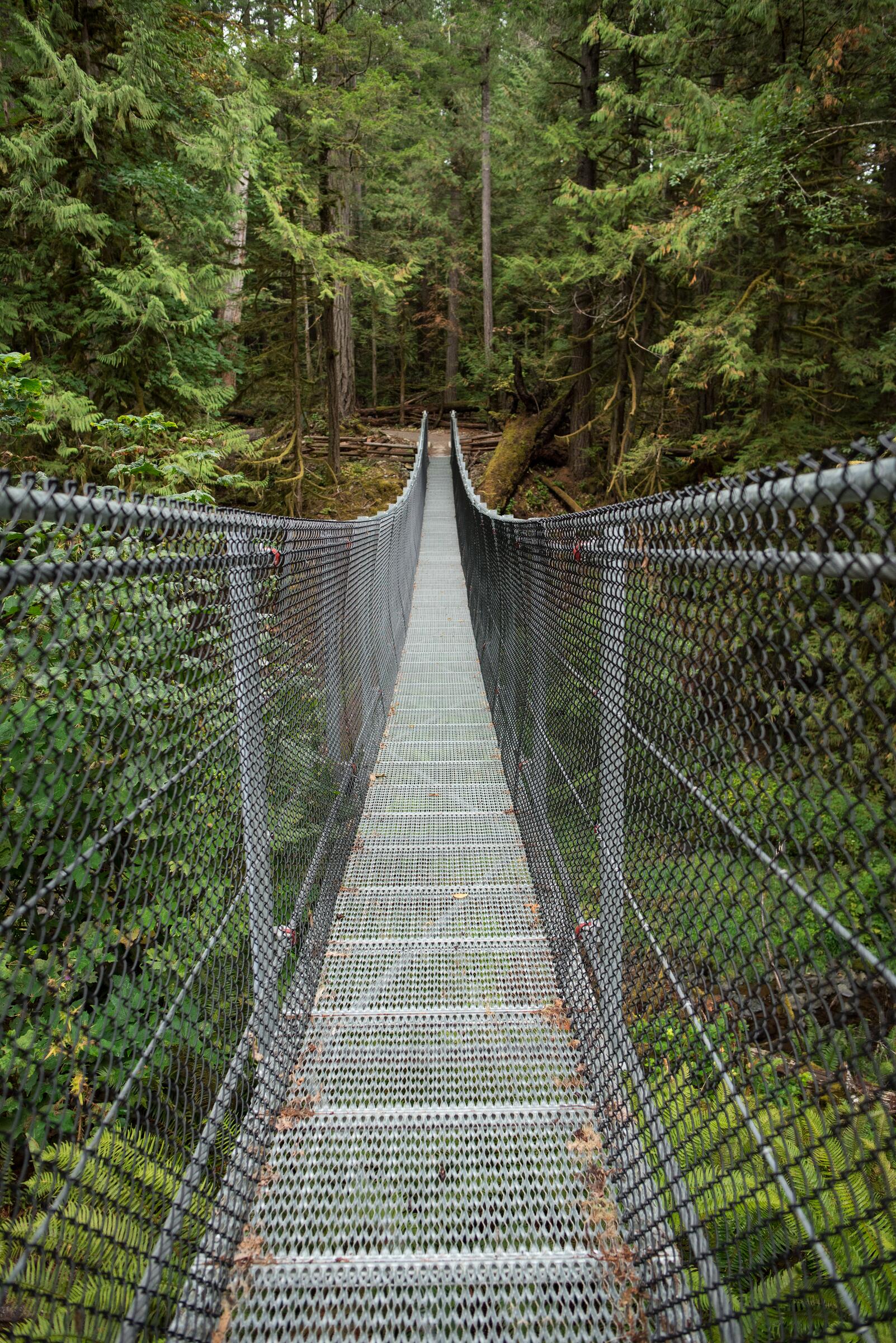
Rathtrevor's beach forest to Top Bridge's river canyon: Parksville-area loops of 5 to 30 km with a suspension bridge midway.

The Lochside Trail: ferry to city on 29 flat km through Saanich farmland, seaside, and birding flats.

The Qualicum River trails: 6 to 32 km of quiet forest, salmon water, and side trips to Spider Lake and Little Qualicum Falls.

Port Alberni: harbour quay, rail trail, and river dykes in loops of 3.5 to 20 km, with the working waterfront as backdrop.

Port Alberni's Log Train Trail and Sproat Lake: historic logging rail grade and lake views, 3.5 to 42 km.

ʔapsčiik t̓ašii: the paved path between Tofino and Ucluelet, 25 km each way through rainforest beside the open Pacific.

Oceanside Route 19A and a Denman hop: flat seaside touring from Qualicum Bay toward Royston, 9 to 77 km.

Hornby Island: two ferries out to loops of 3 to 35 km, Tribune Bay's white sand, Helliwell's bluffs, and forest trails between.

Courtenay's Riverway and the Royston Seaside Trail: 2 to 15 km of flat, bird-rich waterfront path.

The One Spot Trail: Courtenay's historic logging railway, now 5 to 25 km of forest and riverside riding to Nymph Falls.

Miracle Beach to Williams Beach: quiet seaside riding north of Courtenay, 3 to 70 km of sand-stop temptations.

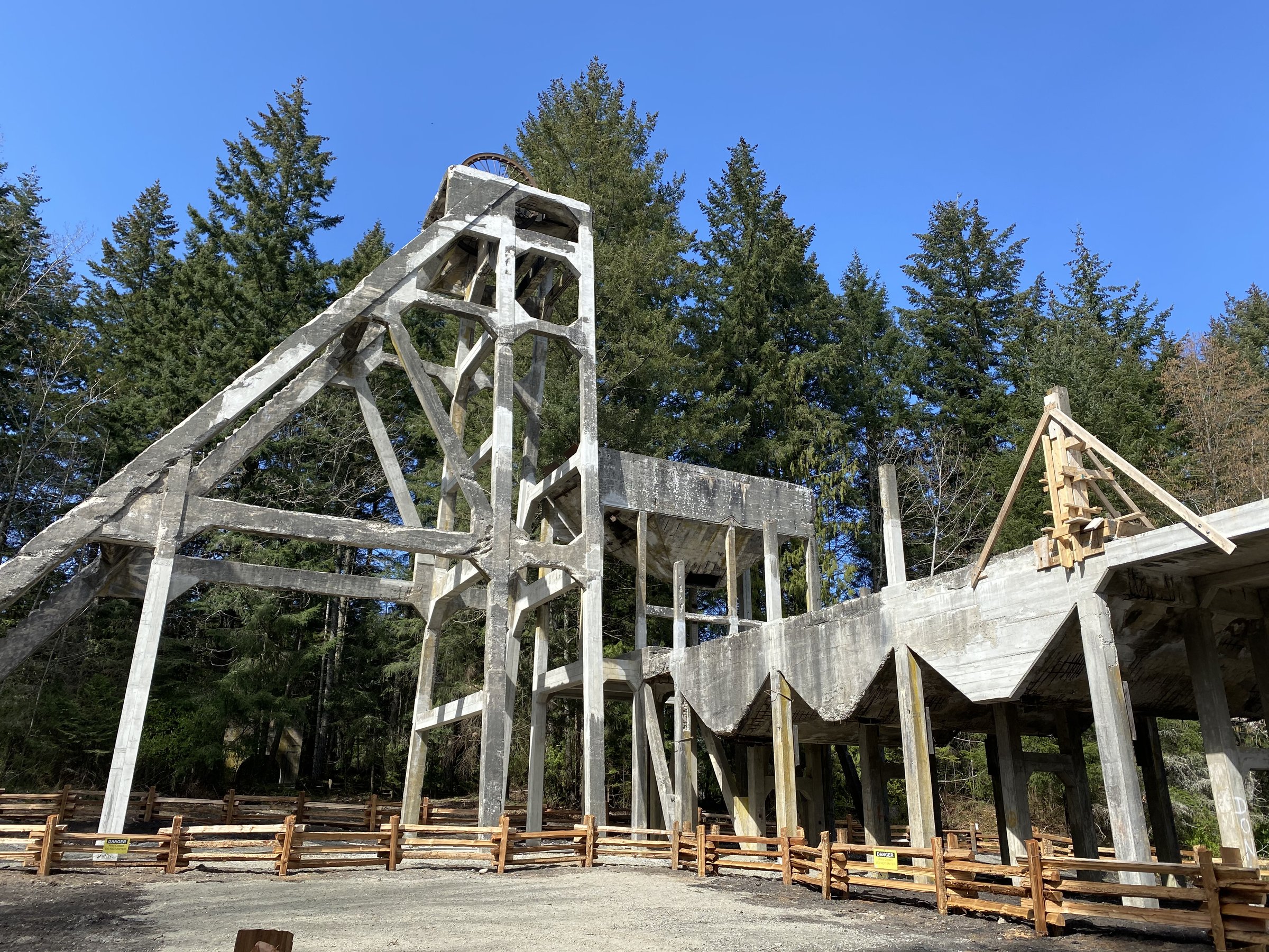
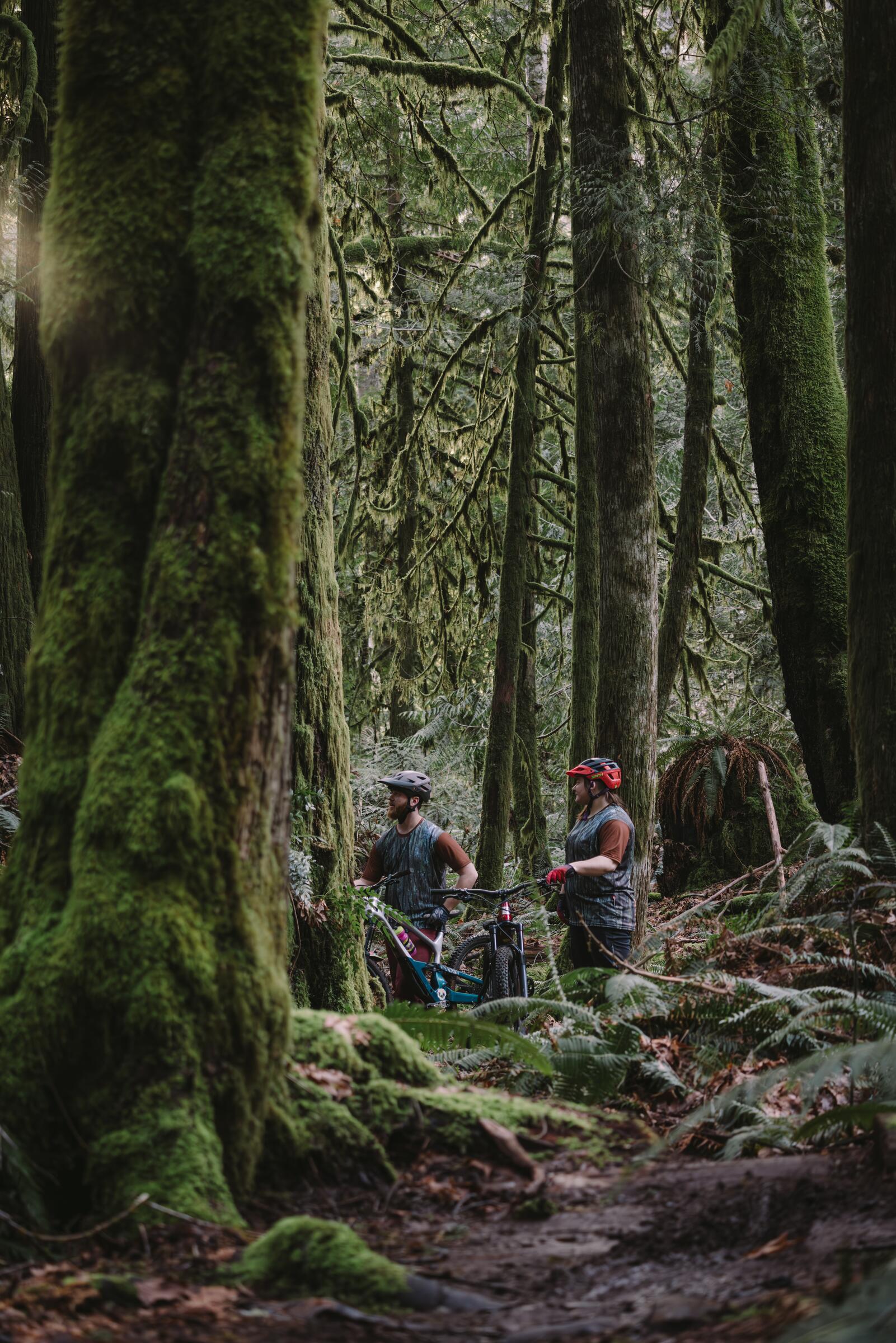
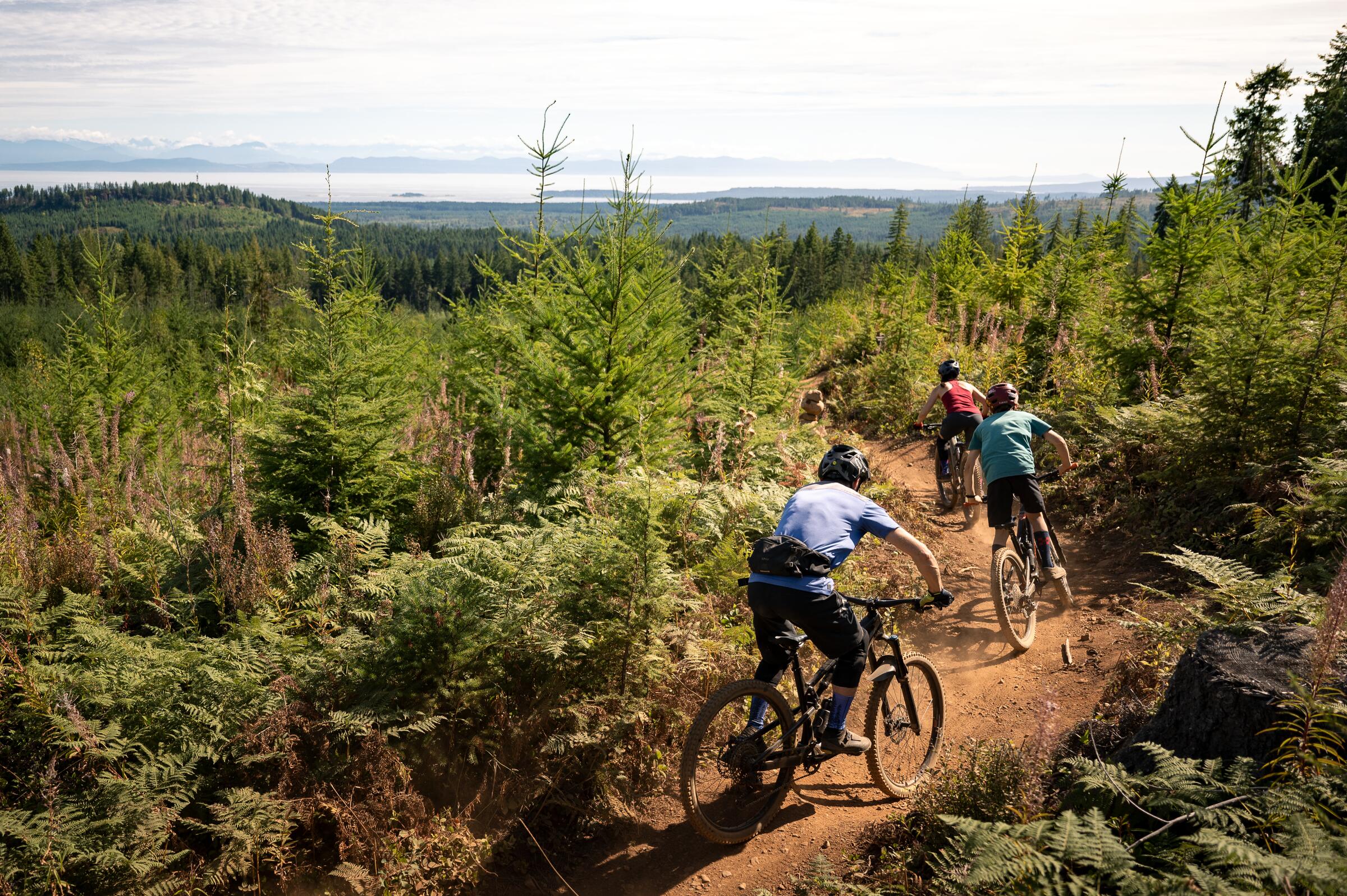
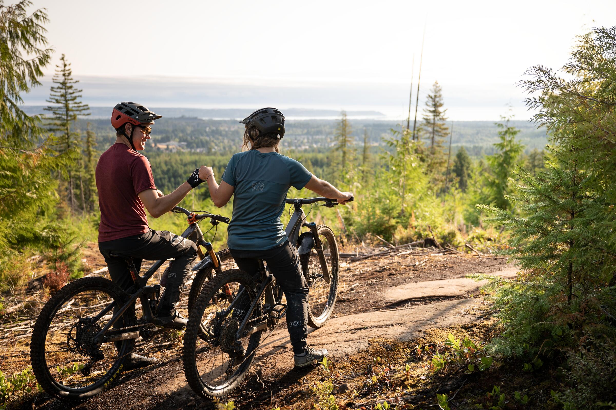
Cumberland and West Courtenay: coal-history rail trails and singletrack, 5 to 26 km, with Comox Lake for the swim.

Victoria in easy loops of 1.6 to 20 km: the Inner Harbour, Beacon Hill's peacocks, Chinatown, and castle streets.

The Comox Valley Circle: a 65 km flat loop of farmland, cidery country, seaside, and riverway trails.

East Courtenay and Comox by the water: loops of 5 to 36 km linking three beaches, Seal Bay's forest, and the harbour.

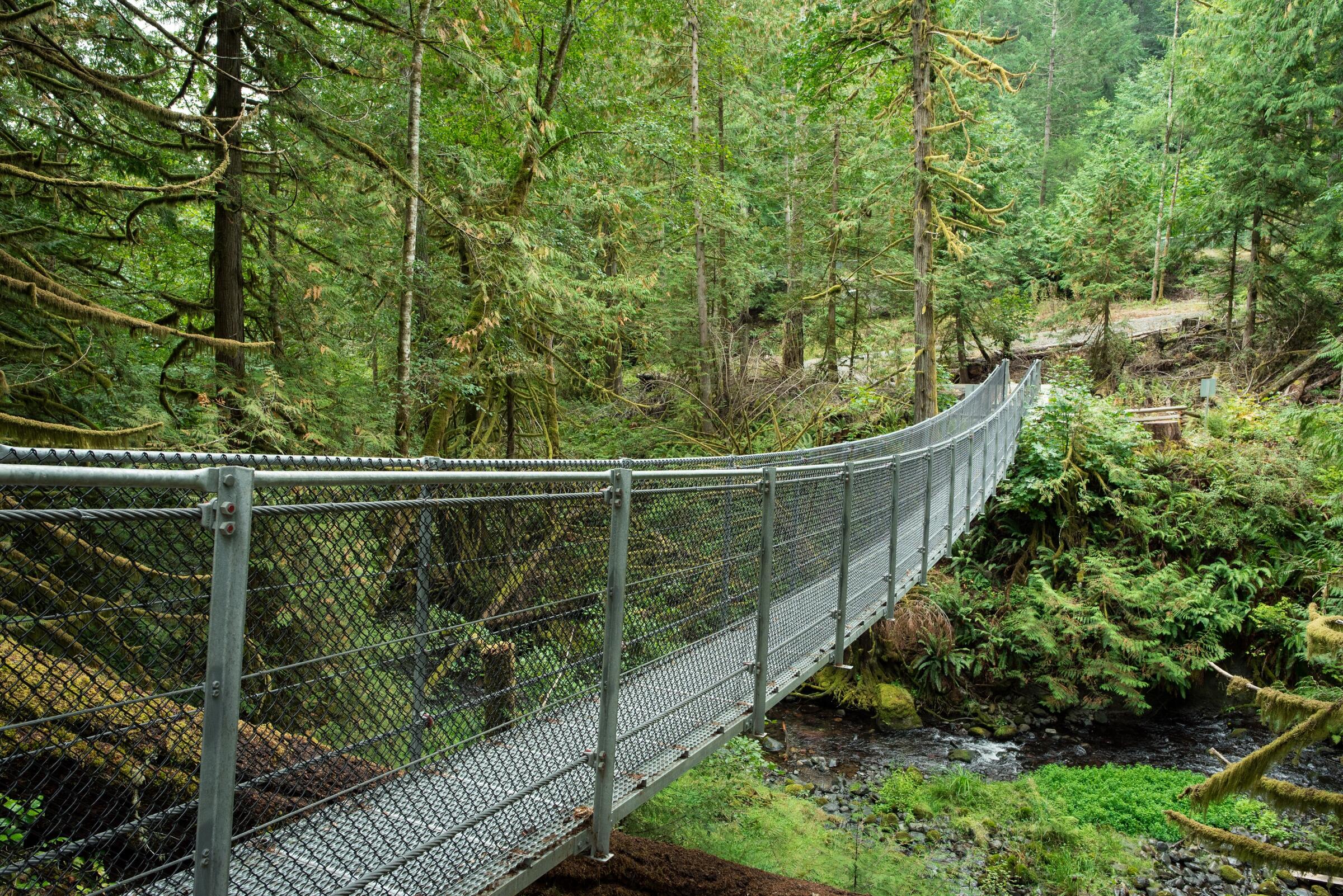
Elk Falls and the Campbell River: loops of 1.5 to 19 km with a canyon waterfall and suspension bridge at the heart.

Campbell River's signed FROG greenway: a flat 28 km family loop of waterfront, riverside, and forest parkland.

Quadra Island: a ten-minute ferry to loops of 3 to 30 km, from Rebecca Spit's beaches to the Cape Mudge lighthouse.

Cortes Island: two ferries out, then 20 to 50 km of quiet, surprisingly hilly riding from Whaletown to Smelt Bay.

The Alice Lake and Holberg loops: 120-plus km of remote North Island gravel, lakes, and deep forest quiet.

Port McNeill to Telegraph Cove: 20 to 60 km of quiet forest roads ending at the boardwalk village where the whales are.

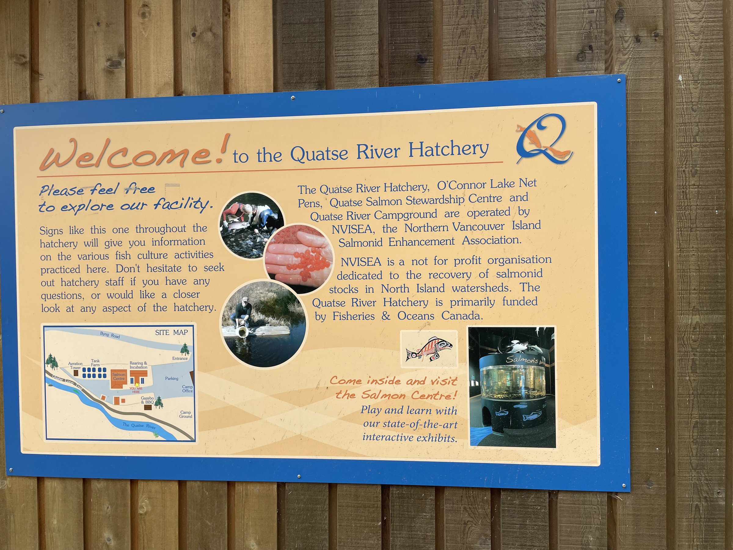
Port Hardy: quiet seaside trails of 3 to 26 km, salmon in the Quatse, eagles overhead, and Fort Rupert's history nearby.

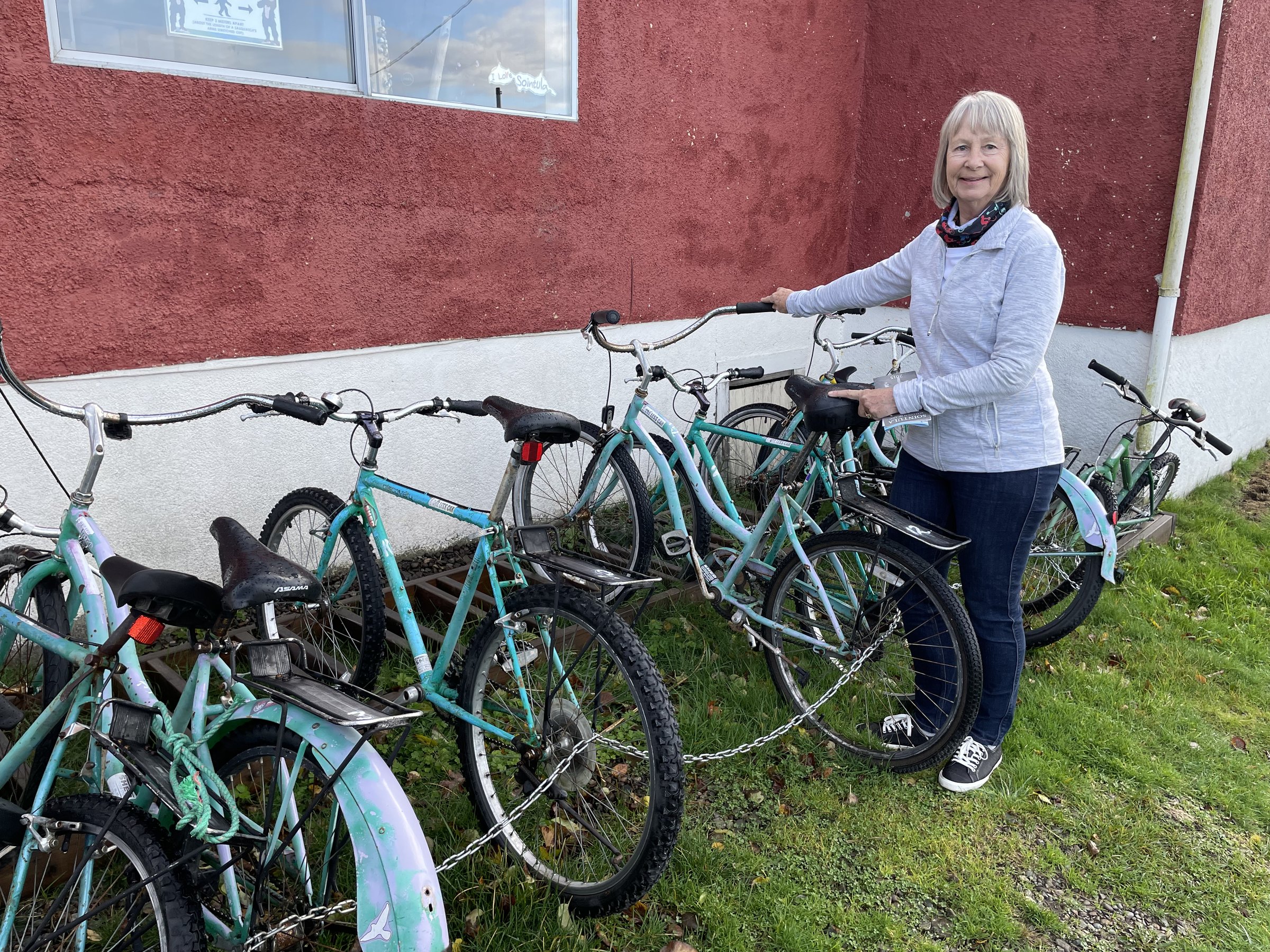
Malcolm Island: ferry to Sointula, the historic Finnish utopian village, then quiet gravel to the Pulteney Point lighthouse.

Victoria's Seaside Touring Route: up to 40 km along the capital's shoreline, from Ogden Point to Cordova Bay.

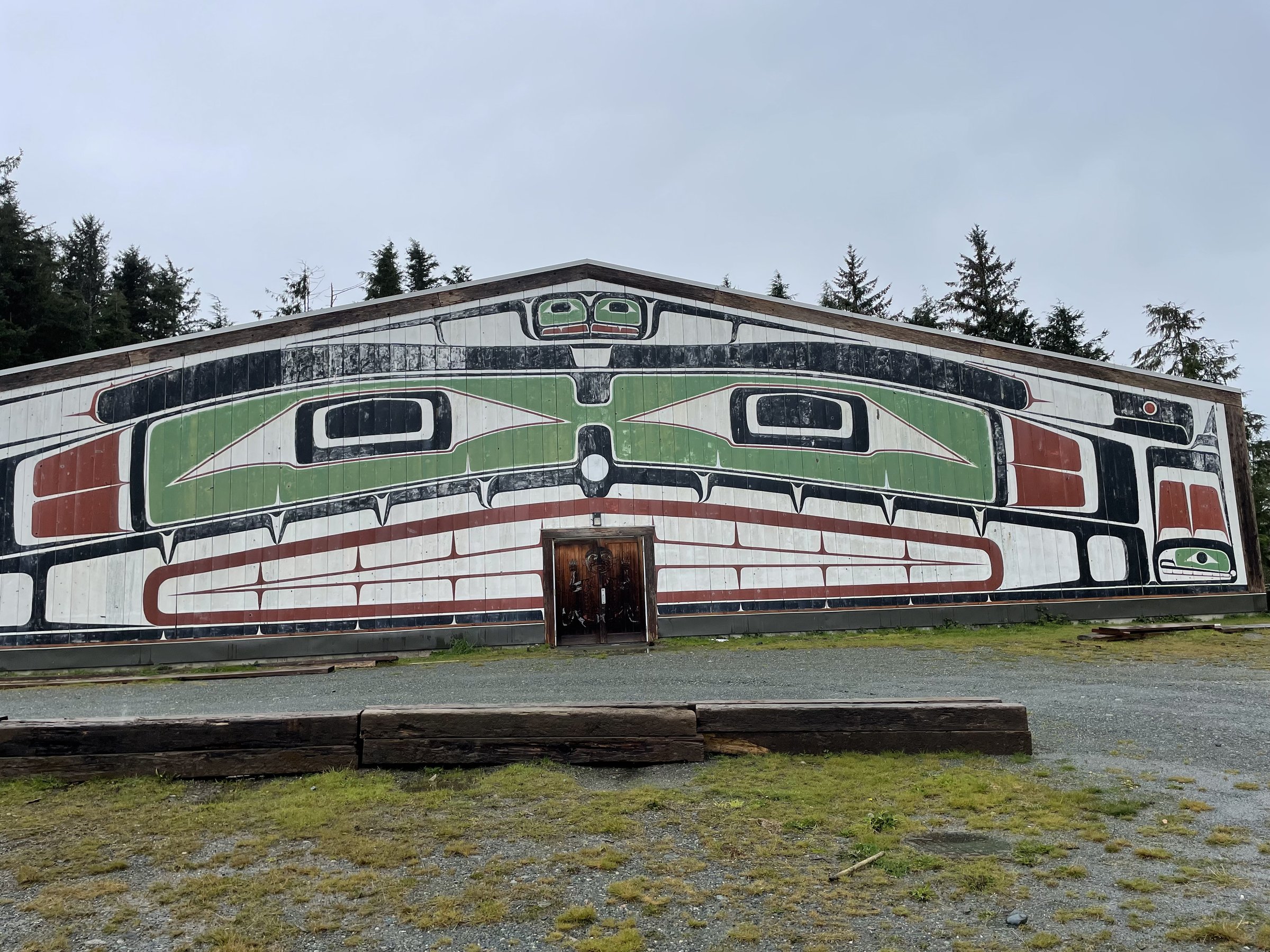
Alert Bay by bike: a ferry-hop to Cormorant Island's totems, boardwalk waterfront, and the world's tallest totem pole.

Glen Lake, Royal Roads, and Metchosin: 4.5 to 24 km of lakes, gardens, and the old castle grounds west of Victoria.

Esquimalt and View Royal loops of 2 to 46 km, stitching the E&N Rail Trail, the Goose, the Gorge, and Thetis Lake together.

Saanich's greenway web: 1 to 45 km linking the Colquitz River, Elk Lake, and quiet rail-trail corridors.

North Saanich: airport flight-path loops, Lands End lanes, and ferry-to-ferry links, 3 to 60 km near Sidney.

Rally day one: 160 km from West Vancouver across the water to the island, rolling terrain with 1,200 m of climbing.

The gentler day-one rally option: 150 km with less gravel and about 950 m of climbing.

Rally day two: 118 km through the Cowichan Valley, more than half gravel, with wineries watching you ride past.

The shorter Cowichan day: 95 km of valley gravel and quiet roads for rally riders pacing themselves.

Rally day three: 96 km around Greater Victoria's trails and hills to finish the weekend, coffee stops non-negotiable.

The mellower Victoria finale: 86 km with most of the views and fewer of the hills.

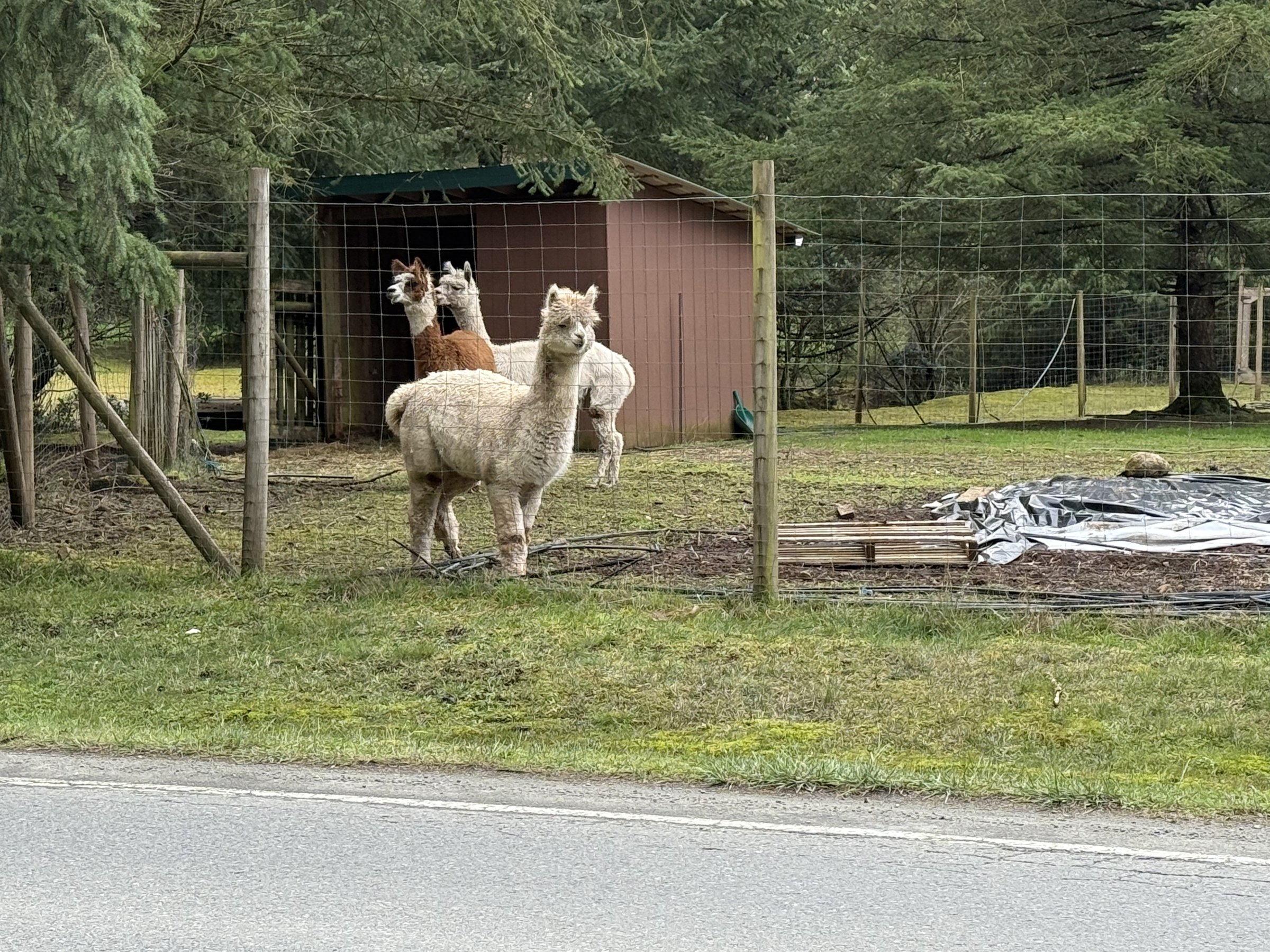
The Gabriola group ride: 23 km of island trails past an alpaca farm, with the Malaspina Galleries a can't-skip detour.

Cowichan Valley touring, part two: Stoltz Pool to Nanaimo, 78 km of valley roads and trail with ferry connections at the end.

Ferry to river camp: Swartz Bay to Stoltz Pool, 83 km through the Cowichan Valley on trail and quiet roads.

Gabriola by gravel: a 44 km island wander of trails, quiet roads, and beaches, a short ferry from Nanaimo.

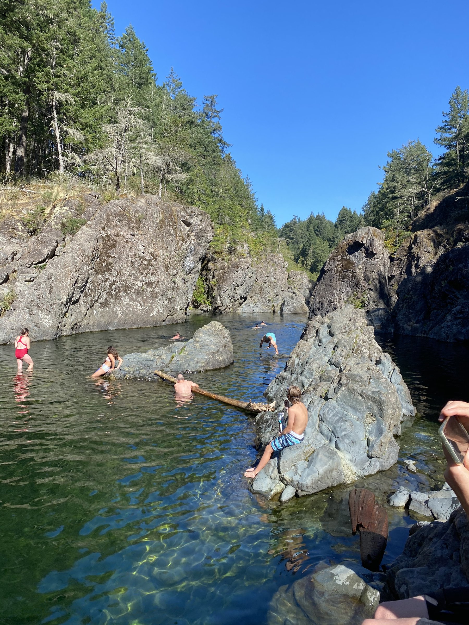
Ferry, rail trail, swimming hole: the Sooke Potholes overnighter runs 95% on the Lochside and Galloping Goose, beginner-perfect.

The Alberni Bam Bam: a week around the South Island's wild half, with a heritage-ship voyage up the Alberni Inlet stitched in.

The Cowichan Valley 8: a weekend figure-eight from Victoria's parliament lawns through wine country on the Goose and friends.

A first overnighter made easy: Parksville's beachfront to Englishman River Falls, 52 km of rainforest, rivers, and one campground booking.

The Jeune Landing Loop: North Island gravel between Port McNeill and Port Alice, past cenotes, karst springs, and lakeside camps.

Snowden or Dust: a Campbell River overnighter built from flowy singletrack, granite slabs, and lakeside camps.

An 11 km gravel detour on the Tree to Sea Loop near the Strathcona Dam, now the standard line while dam access is closed.

The South Island Sundowner: 139 km of steep hills, fern forest, and coastal views within reach of Victoria, tougher than its numbers.

The Tree to Sea Loop: 1,000 km around northern Vancouver Island's fjords, villages, and forest roads, a bucket-list ride.

The Tree to Sea Mini: 384 km of the full loop's best gravel from Campbell River, no boat charter required.

Day five of the club's Sunshine Coast tour: 110 km near Nanaimo with a steady 1,100 m of rolling climbing.

The 4 Ferry Odyssey: Campbell River to Powell River via Quadra, Cortes, and a Lund water taxi, 165 km of island-hopping.

The length of Vancouver Island in one go: 498 km of paved touring from the island's south to its far north.

A rolling 108 km road day between Duncan and Chemainus, through the Cowichan Valley's farm and mural country.

Highway 28 to Gold River and Muchalat Inlet: an out-and-back road ride through Strathcona's mountain country.

Touring Victoria: an 84 km road circuit of the capital region's coastline, neighbourhoods, and countryside.

From the Empress to the wild coast and back: a two- to three-day 264 km road loop via Port Renfrew, Lake Cowichan, and Duncan.

Barry's Loop: a 58 km mixed-surface local favourite out of Esquimalt, with rough patches and honest hills.

Gordon River and tall trees: 123 km between Lake Cowichan and Port Renfrew through ancient forest and clear rivers.

A 64 km rolling loop through the Comox Valley's farm country near Courtenay, gentle gravel and quiet pavement.

The Metchosin Caper: 83 km of rolling mixed-surface riding through Victoria's rural west, coastline and forest in turns.

The Mill Bay Rambler: a 100 km South Island road day from Esquimalt up the coast and back, with 1,100 m of climbing.

The BT700's leg to Bamfield: 110 km of logging-road gravel to the remote boardwalk village on Barkley Sound.

The BT700 to Port Renfrew: 174 km from the Victoria area to the wild west coast, with 3,700 m of climbing along the way.

The 2,380 km BT700 flagship from Victoria to Banff, mostly unpaved, with nine side trips branching off along the way.
We're interested in learning more about where you love to ride. Drop us a note and tell us what you publish.
hello@bccycletourism.ca