BC Cycle Tourism Society

BT 700 Bikepacking

individual route creator Visit BT 700 Bikepacking ↗

BT 700 Bikepacking is a route-publishing site run by Ontario adventure cyclist and writer Matthew Kadey, one of Canada's most prolific bikepacking route builders. It grew out of the original BT700 gravel loop in southwestern Ontario and now offers downloadable route files for gravel and bikepacking rides across Canada, including several in British Columbia.

Their BC collection

BT 700 Bikepacking's British Columbia routes are side trips, bypasses, and connectors along The Big Griz, its 2,380 km Victoria-to-Banff flagship — from 37 km connectors up to a 304 km multi-day route into Castlegar. Six are concentrated in the Kootenay-Rockies region (Fernie, Nakusp, New Denver, and the Central and East Kootenay), two are on Vancouver Island (Bamfield, Port Renfrew), and one extends into the Thompson-Okanagan. Most are unpaved or mixed-surface gravel routes with significant climbing, rated moderate to hard.
All 10 BC rides#

Open any ride for its welcoming stops and how to get there. The full writeup, map, and directions live on BT 700 Bikepacking's website.

Vancouver Island · 2

Thompson Okanagan · 1

Kootenay Rockies · 7

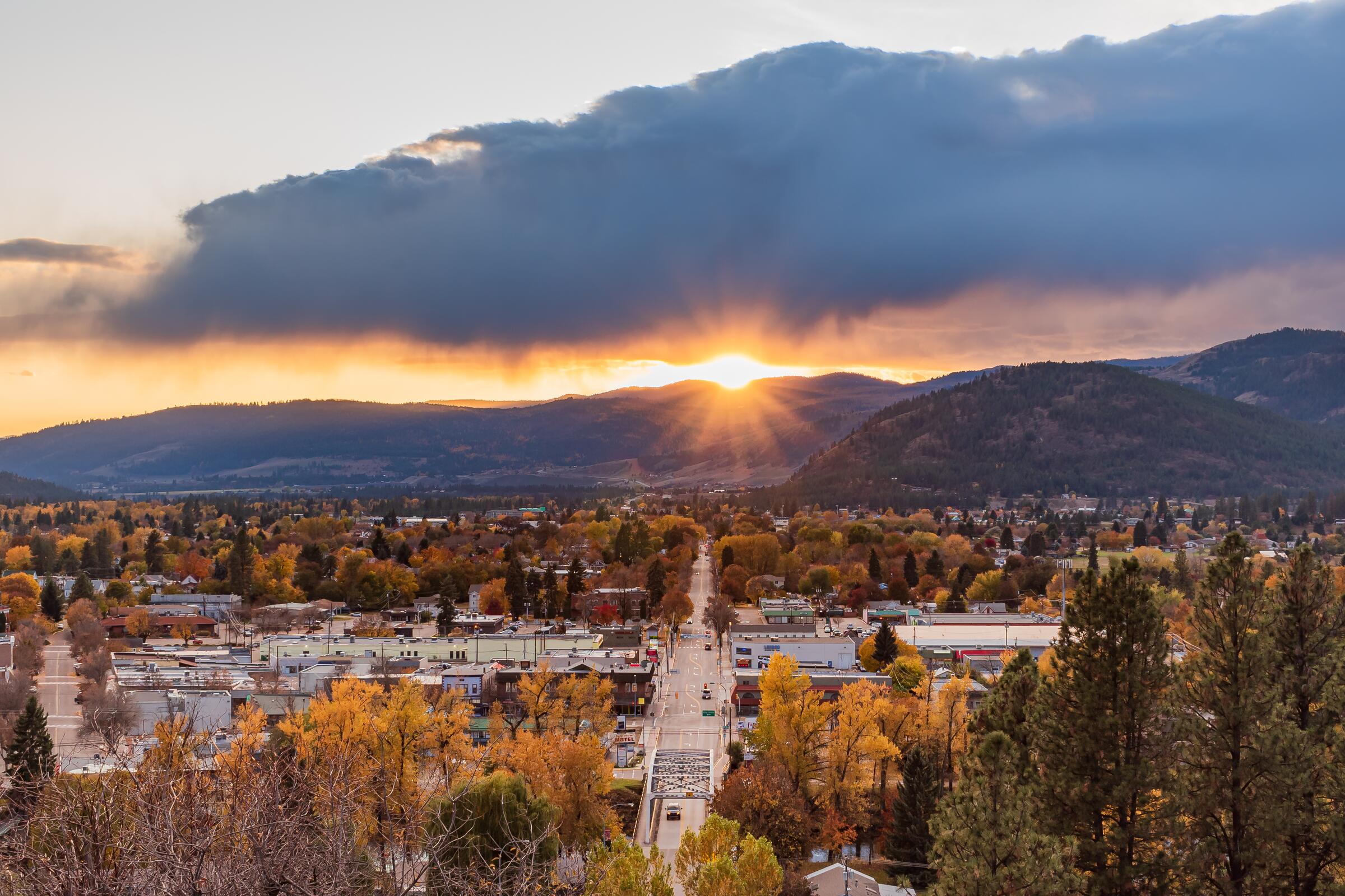
Photo: Mitch WintonFernie, BC
BT700 Fernie Alternative
76 km · 1119 m up
AmbitiousCalm streets, some sharingMostly gravelLots of climbing

An alternative leg of the BT700 near Fernie: 76 km, mostly unpaved, with steady forest-road climbing adding up to about 1,100 m. The option for riders who want more gravel in their East Kootenay traverse.

Stops, map + getting there →
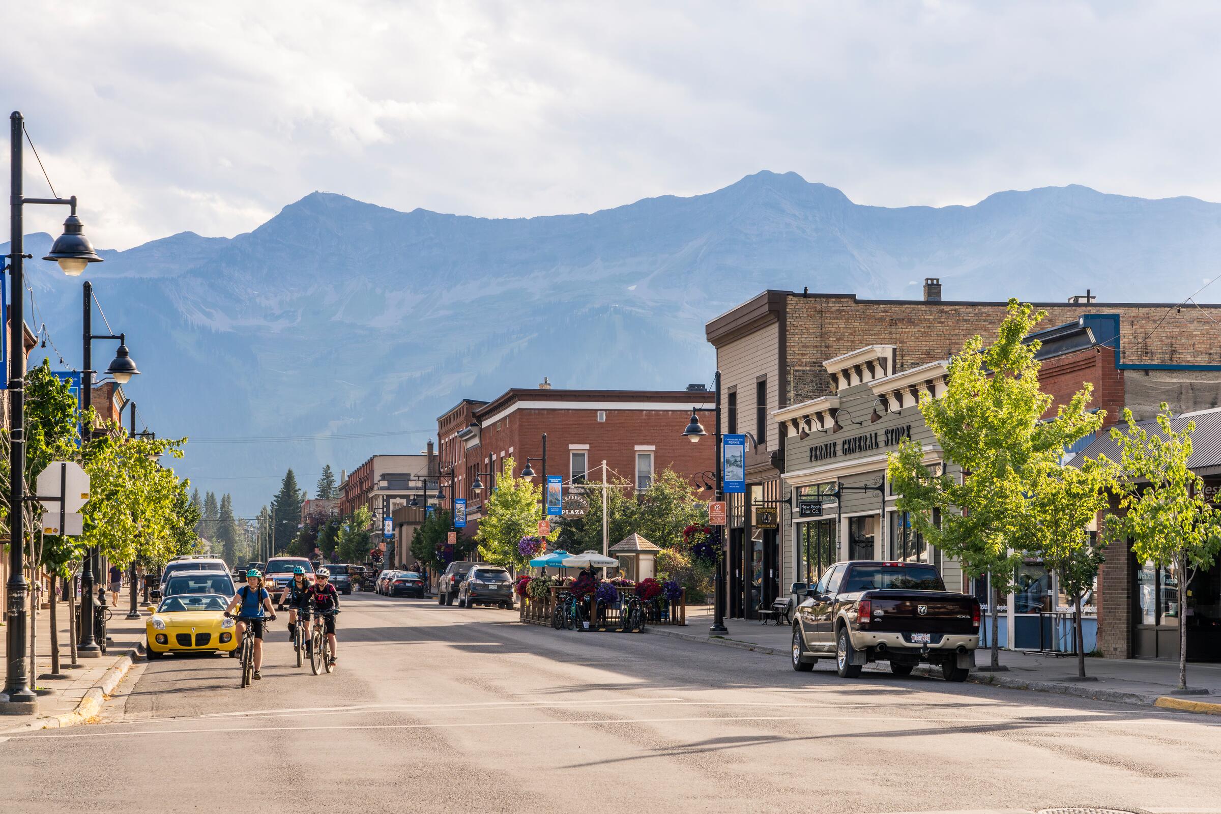
Photo: Mitch WintonFernie, BC
BT700 Fernie Sparwood
37 km · 569 m up
ChallengingComfortable for mostMostly gravelChunky gravelLots of climbing

The BT700's connector between Fernie and Sparwood through the Elk Valley: 37 km, about three-quarters unpaved, with some genuinely chunky surfaces and around 570 m of climbing. A solid half-day link between the two towns.

Stops, map + getting there →
Photo: Mitch WintonNakusp, BC
BT700 Gray Creek Bypass
174 km · 1991 m up
AmbitiousRide with trafficMostly pavedSome climbing

The BT700's paved alternative through the Central Kootenays via Gray Creek: 174 km with about 2,000 m of rolling climbing, nearly all on pavement and highway, so expect to ride with traffic. The practical choice when your bike or the conditions make the rougher passes a bad idea.

Stops, map + getting there →
Photo: Lindsay Marie StewartKaslo, BC
BT700 Kaslo
85 km · 2103 m up
ChallengingCalm streets, some sharingMostly gravelMax climbing

An 85 km BT700 leg with one of BC's more memorable trail moments: a hand-pulled cable-car river crossing on the Galena Trail out of New Denver. From there the Wagon Trail runs rough and chunky into Kaslo, then paved highway follows Kootenay Lake south to Balfour, with about 2,100 m of climbing along the way.

Stops, map + getting there →
Photo: Mitch WintonNakusp, BC
BT700 Nakusp Rosebery
43 km · 513 m up
AmbitiousComfortable for mostAlmost all gravelChunky gravelSome climbingRemote stretches

A 43 km BT700 leg linking Nakusp and Rosebery, entirely unpaved and nearly flat, with only about 500 m of climbing. The kind of stretch where you settle into a rhythm: quiet gravel, forest, and long sections with nobody around.

Stops, map + getting there →
Photo: Kari MedigNelson, BC
BT700 Slocan Valley
76 km · 744 m up
ModerateCalm streets, some sharingMixed surfaceSome climbing

A 76 km BT700 leg through the Slocan Valley on a mix of rail trail and quiet valley roads, about a third unpaved, with gentle rolling terrain and around 750 m of climbing. Mellow riding through one of the Kootenays' loveliest valleys.

Stops, map + getting there →
Photo: Darren RobinsonPrinceton, BC
The Big Griz
2261 km · 38186 m up
EpicCalm streets, some sharingMostly gravelLots of climbingRemote stretches

BT700 BC flagship, 2,380 km from Victoria to Banff with about 62% on gravel and dirt and climbing that never really stops. The nine other BT700 routes here are its side trips and bypasses. Our map shows the BC leg; route files are on bt700.ca.

Stops, map + getting there →
← All route makers
Do you publish well-documented cycling routes in BC — road, gravel, touring, or family rides?

We're interested in learning more about where you love to ride. Drop us a note and tell us what you publish.

hello@bccycletourism.ca