BC Cycle Tourism Society
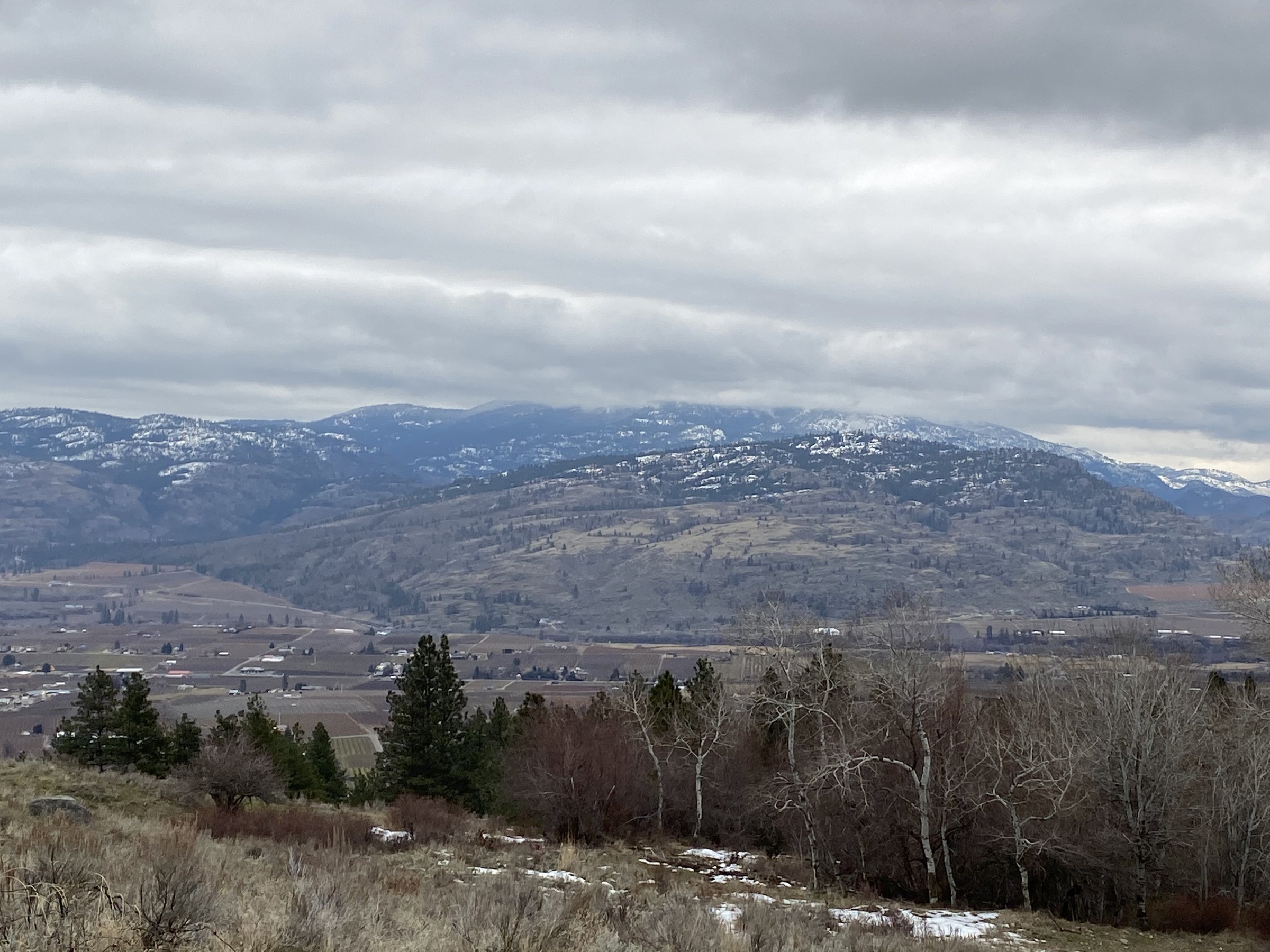
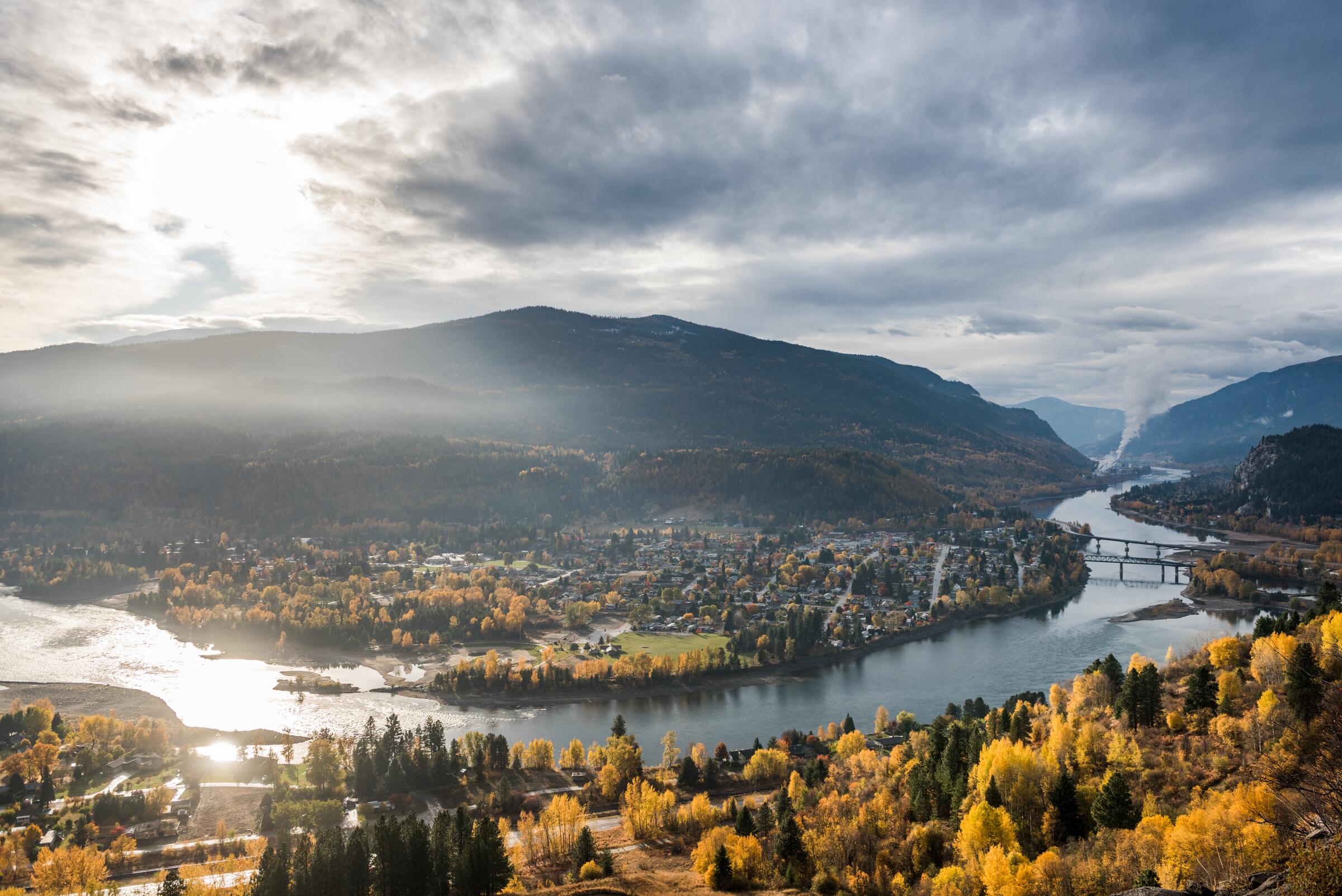
Photo: Andrew StrainKamloops, BC

Thompson Okanagan

Orchards, wine country, and the trestles of the Kettle Valley. The easiest place in BC to fall in love with cycle touring.
51 rides from 11 publishers — all of them, no shortlist. Open any ride for its welcoming stops and how to get there; the maps, turn-by-turns and full details live on the publishers' sites, one click further.
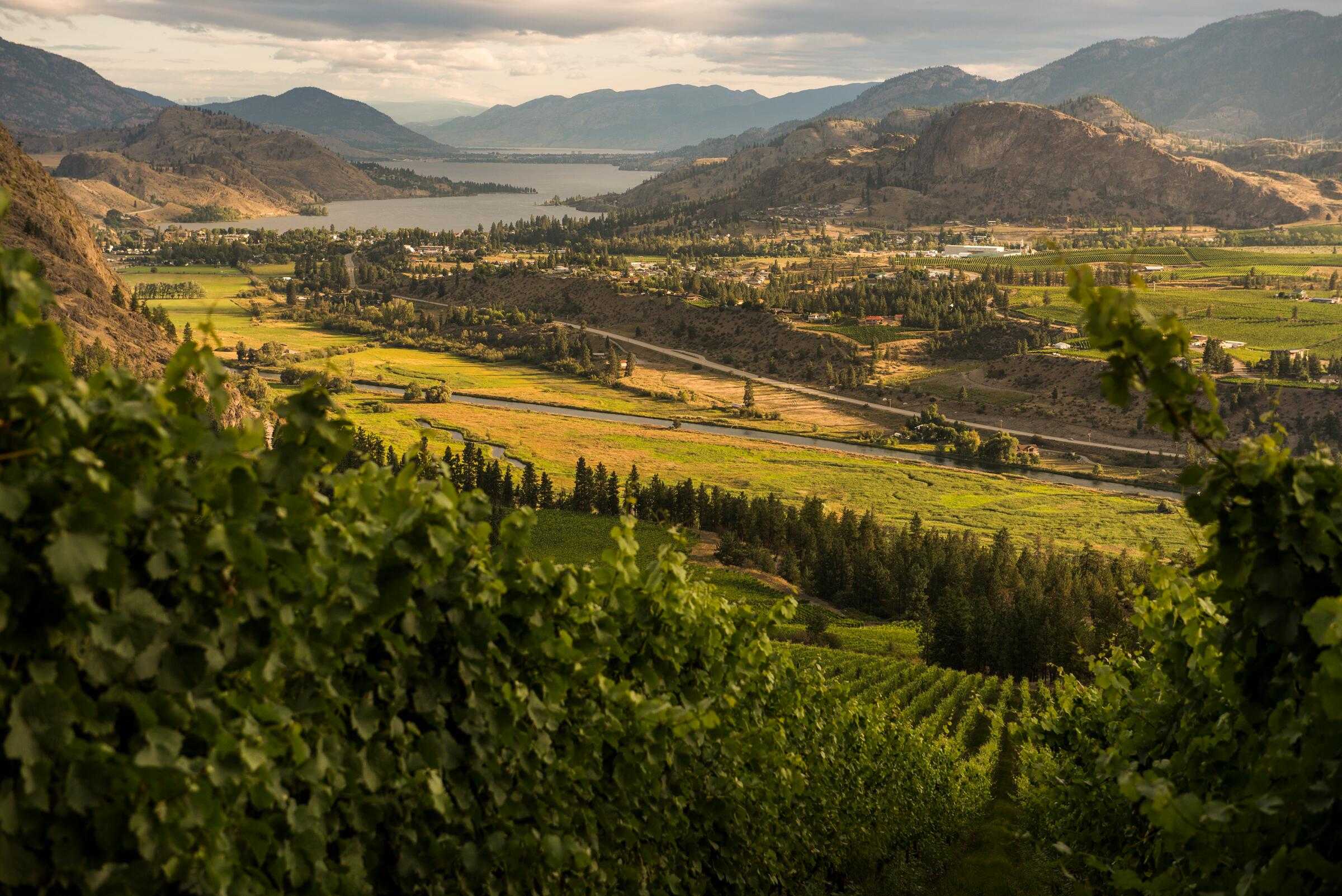
Photo: Thompson Okanagan Tourism AssociationChristina Lake, BC
Highlight
Myra Canyon
Let's Go Biking · 22 km · Afternoon
EasyComfortable for mostAlmost all gravel

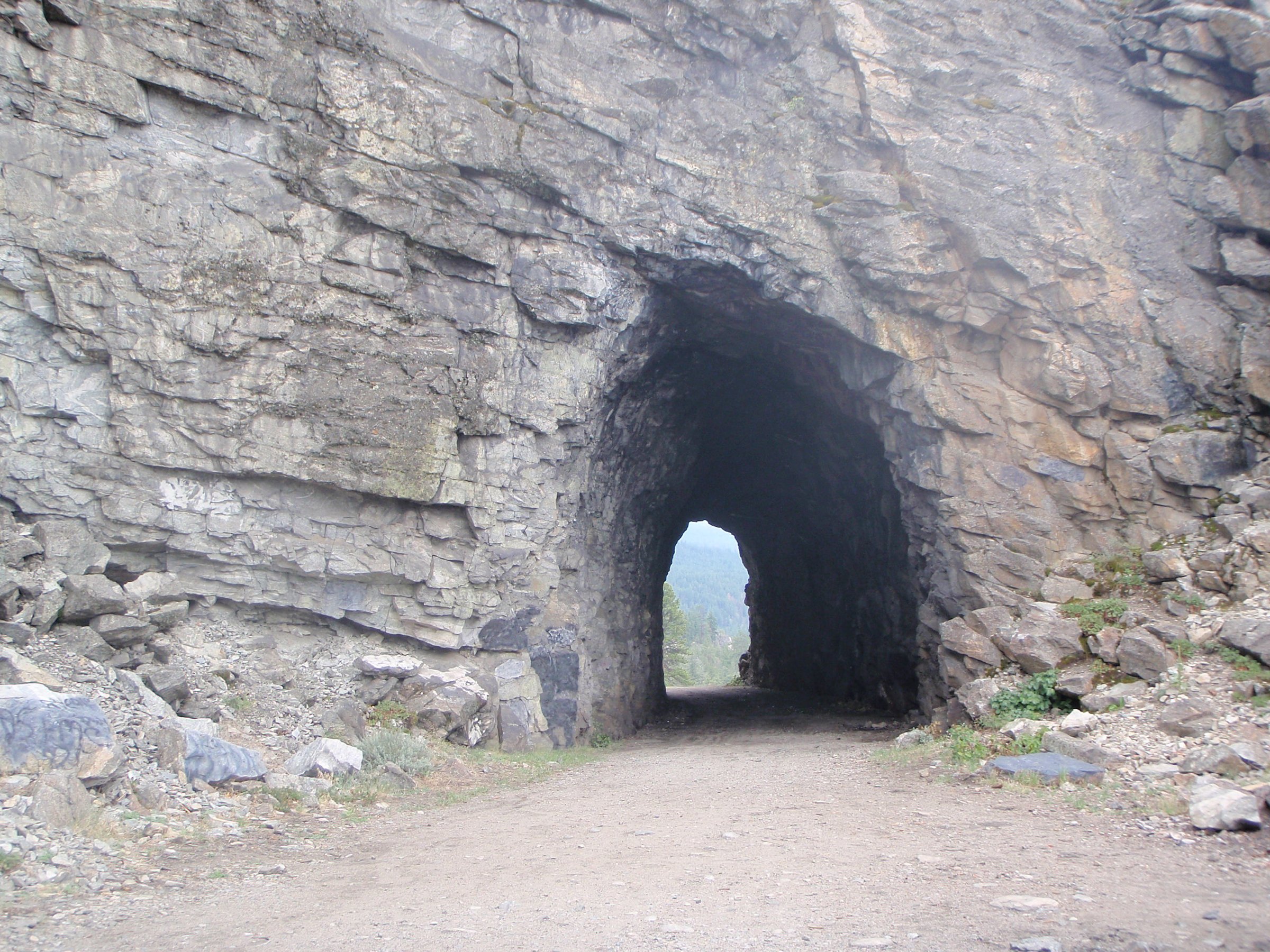
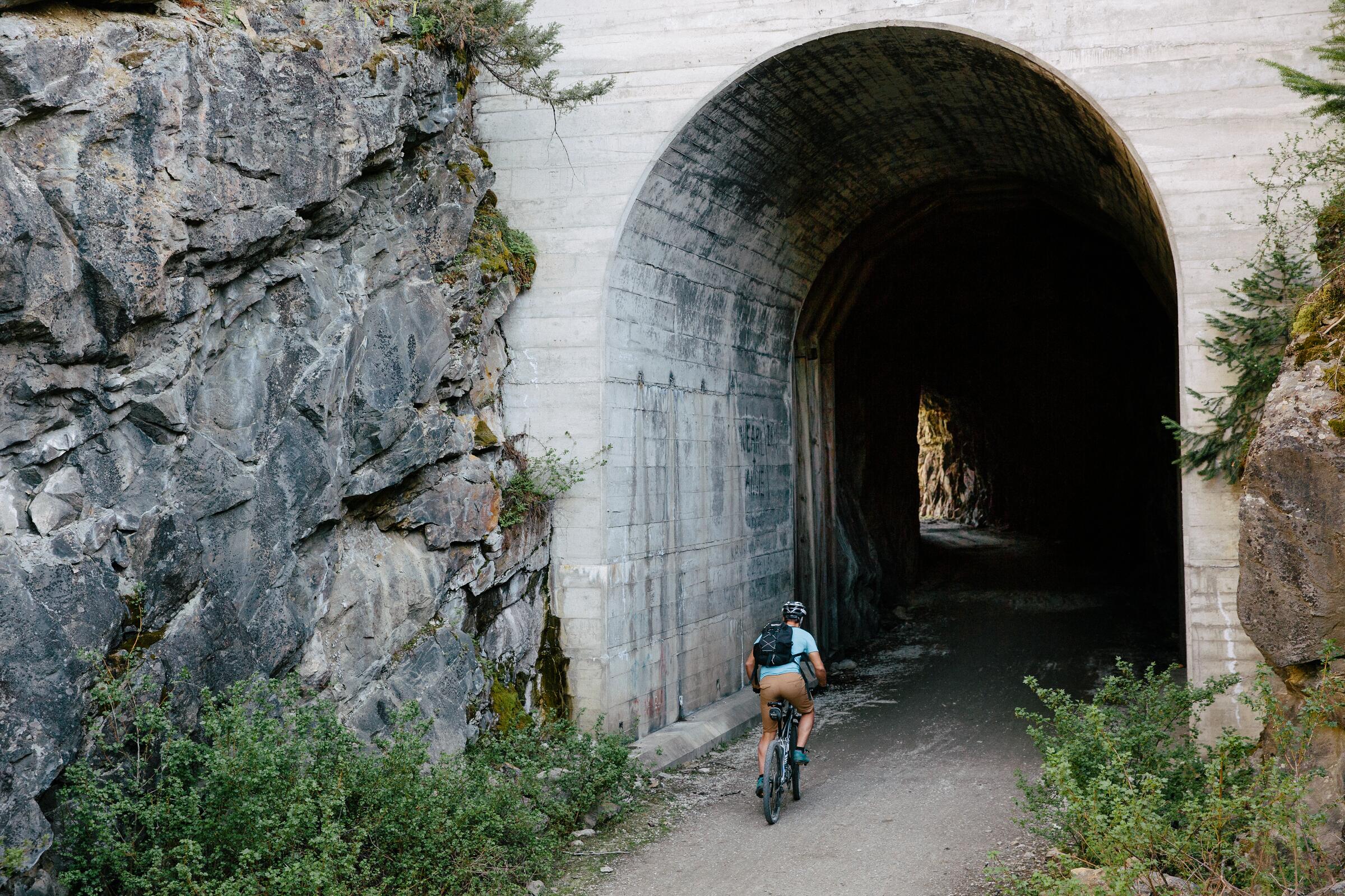
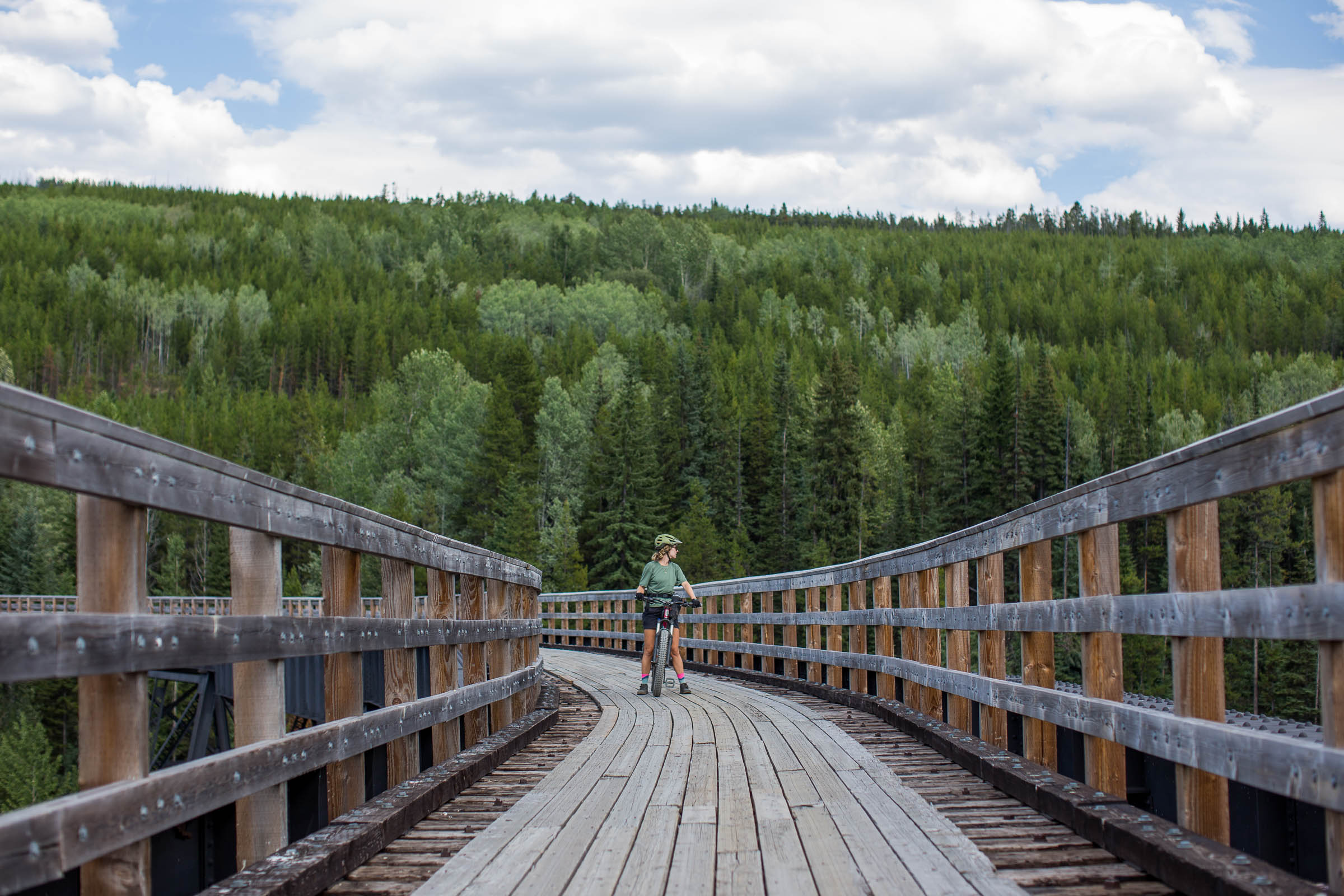
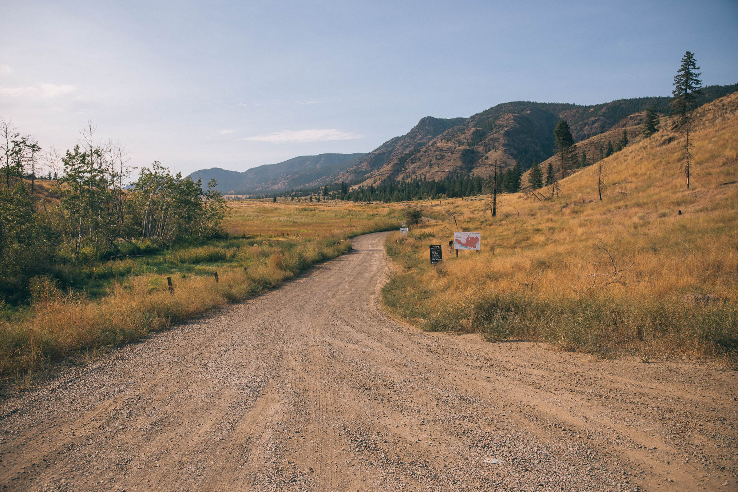
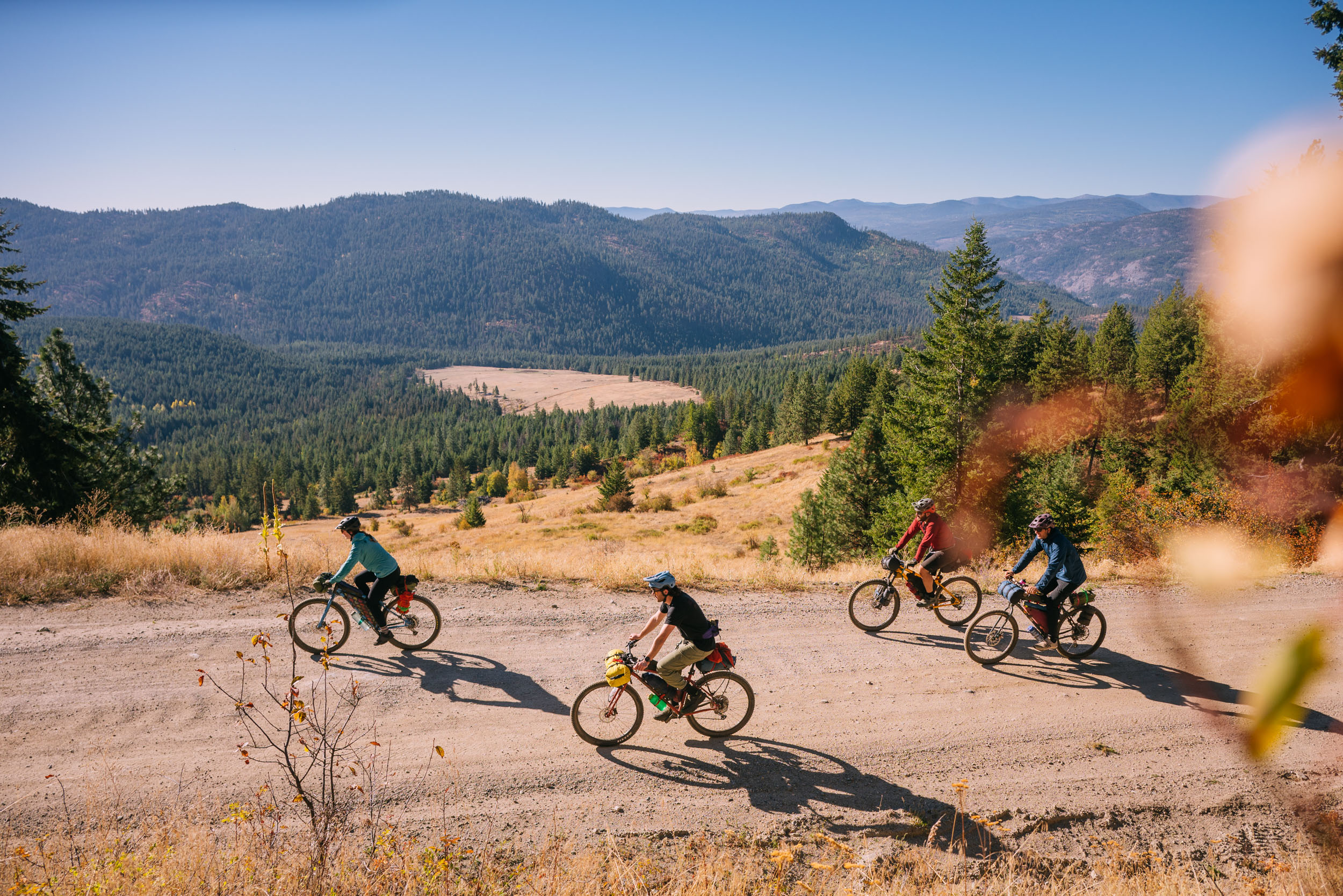
The most famous stretch of the Kettle Valley Rail Trail: Myra Canyon's historic wooden trestles and rock tunnels curve around the canyon rim high above Kelowna, in Myra-Bellevue Provincial Park. It is 11 km one way, 22 km return, on gentle rail grade the whole way, well suited to families. Go early or late in summer; the exposed sections get hot.
Stops, map + getting there →

Let's Go Biking

guidebook authorvisit site →
Let's Go Biking is a British Columbia cycling guidebook series written by Colleen MacDonald, a champion of slow, scenic, family-friendly riding. Her three guidebooks — Around Vancouver; Okanagan and Beyond; and Vancouver Island, the Gulf Islands and Sunshine Coast — come with a companion website of mapped rides, walks, and runs.
All 179 of their BC rides + their story →
Osoyoos Exploring
24 km · Afternoon

Exploring Osoyoos by bike: 4.5 to 24 km of lakefront, vineyards, and rail trail in Canada's warmest corner.

EasyRide with trafficMostly paved
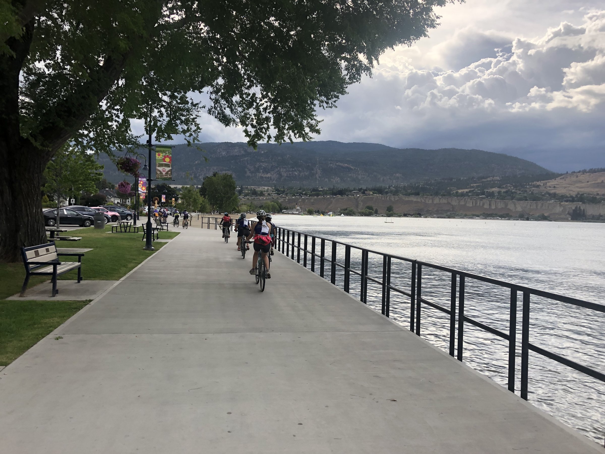
Photo: Hubert KangOsoyoos, BC
KVR - Penticton to Midway
214 km · Weekend or more

The classic KVR: Penticton to Midway through Naramata, Chute Lake, and Beaverdell, 214 km of historic rail grade and big views.

AmbitiousComfortable for mostMostly gravelChunky gravelRemote stretches
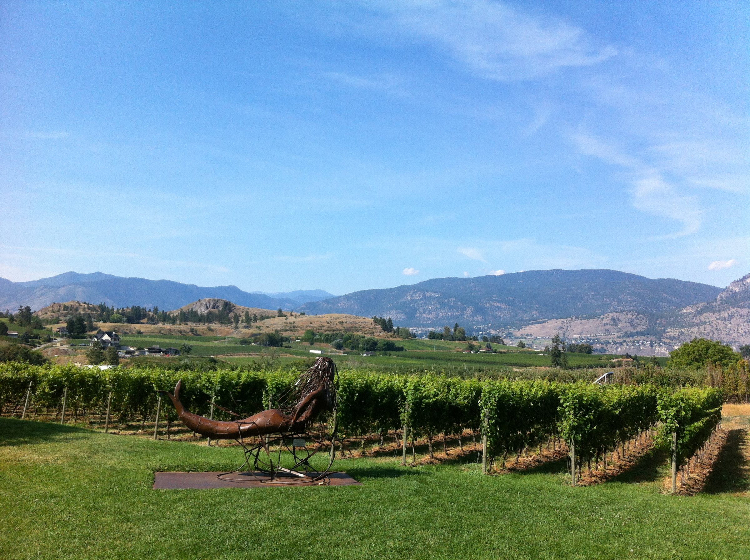
Photo: Emma ChooNaramata, BC
Summerland
30 km · Full day

Summerland loops of 3 to 30 km: rail trail, orchards, lakefront, and the hills that keep wine country interesting.

AmbitiousCalm streets, some sharingMostly paved
Photo: Hubert KangNaramata, BC
Fur Brigade Trail
43 km · Full day

The historic Hudson's Bay Company Brigade Trail between Summerland and Peachland: a quiet, forested climb with big views, 4 to 43 km.

ModerateCalm streets, some sharingMixed surface
Photo: Andrew StrainKamloops, BC
Peachland
26 km · Afternoon

Peachland by bike: stay on the easy lakefront promenade or climb into the hills past historic sites, 3 to 26 km.

AmbitiousComfortable for mostMixed surface
Photo: Kari MedigThompson Okanagan, BC
West Kelowna
40 km · Full day

West Kelowna's lakefront-to-wineries out-and-back: parks, farmland, and breweries over 3 to 40 km.

AmbitiousCalm streets, some sharingMostly paved
Photo: Emma ChooWest Kelowna, BC
Mission Creek Greenway
18 km · Afternoon

Kelowna's Mission Creek Greenway follows the creek for up to 18 km of shaded, family-friendly riding, with salmon spawning in the fall.

EasyRide with trafficMixed surface
Photo: Kari MedigSummerland, BC
Kelowna Lakeshore Parks
14 km · Afternoon

An easy 7 to 14 km ramble along Kelowna's lakefront parks, with beaches, public art, and ice cream never far away.

EasyComfortable for mostMostly paved
Photo: Vanessa Garrison PhotographyThompson Okanagan, BC
Lakeshore South
30 km · Full day

Kelowna's Lakeshore South: ride 1 km or 30, from easy lakefront to rough, steep trails above the water.

ChallengingComfortable for mostMixed surfaceChunky gravel
Photo: Kai JacobsonThompson Okanagan, BC
Vistas & Vines
20 km · Afternoon

Vistas and Vines climbs Kelowna's East Bench through vineyards and orchards, cherry blossoms in spring, colour in fall.

ModerateCalm streets, some sharingMostly paved
Photo: Kari MedigPenticton, BC
Osoyoos East
9 km · Afternoon

A short, flat Osoyoos out-and-back of 1.5 to 9 km along lakefront parks and vineyards, easy for the whole family.

Photo: Indigenous Tourism BCOsoyoos, BC
Okanagan Rail Trail - Kelowna
32 km · Full day

The Okanagan Rail Trail through Kelowna: flat, paved, and sociable, with breweries and vineyards lining the 32 km.

EasyComfortable for mostMostly paved
Photo: Thompson Okanagan Tourism AssociationWest Kelowna, BC
Okanagan Rail Trail - North
75 km · Full day

The Okanagan Rail Trail north of Kelowna hugs the turquoise shore of Kalamalka Lake through Lake Country, 8 to 75 km.

ModerateCalm streets, some sharingMostly paved
Photo: Mirae CampbellLake Country, BC
Predator Ridge & Ellison Park
10 km · Afternoon

Forest paths at Predator Ridge and Ellison Provincial Park, 1 to 10 km of quiet riding to Okanagan Lake viewpoints.

AmbitiousCalm streets, some sharingMostly paved
Photo: Kai JacobsonVernon, BC
Okanagan Lake Views
30 km · Full day

A Vernon loop of 2.5 to 30 km collecting Okanagan Lake views from waterfront parks, farmland, and hillside roads.

ModerateRide with trafficMostly paved
Photo: Kai JacobsonVernon, BC
Vernon Exploring
13 km · Afternoon

A short city loop through Vernon and Coldstream: parks, murals, historic stops, and a brewery or two in 8 to 13 km.

EasyCalm streets, some sharingMostly paved
Photo: Kai JacobsonVernon, BC
Kalamalka Lake Park
17 km · Afternoon

Loops of 3 to 17 km through Kalamalka Lake Provincial Park, where forest trails open onto the famous turquoise water.

AmbitiousCalm streets, some sharingMostly gravel
Photo: Abby CooperLake Country, BC
Swan Lake & Grey Canal
27 km · Afternoon

Swan Lake and the historic Grey Canal trail near Vernon: birdy wetlands, farmland, and hillside views, 1.3 to 27 km.

ChallengingComfortable for mostMostly paved
Photo: Thompson Okanagan Tourism AssociationLake Country, BC
Green Valleys
74 km · Full day

The Green Valleys loop wanders Salmon Arm, Spallumcheen, and Enderby: 24 to 74 km of farmland, riverside, and rail trail.

EasyRide with trafficMostly paved
Photo: Grant HarderThompson Okanagan, BC
Armstrong-Enderby
24 km · Afternoon

A loop through Spallumcheen farmland linking Armstrong and Enderby, with quiet roads, breweries, and historic stops.

EasyRide with trafficMostly paved
Photo: Thompson Okanagan Tourism AssociationSummerland, BC
Salmon Arm
20 km · Afternoon

A Salmon Arm loop of 3.5 to 20 km, from waterfront bird flats to hillside farmland and vineyards above the Shuswap.

AmbitiousRide with trafficMostly paved
Photo: Salmon Arm TourismSalmon Arm, BC
Golden Mile
18 km · Afternoon

Oliver's Golden Mile: 5 to 18 km of vineyards, rail trail, and quiet climbing roads through the Wine Capital of Canada.

ModerateRide with trafficMostly paved
Photo: Andrew StrainOliver, BC
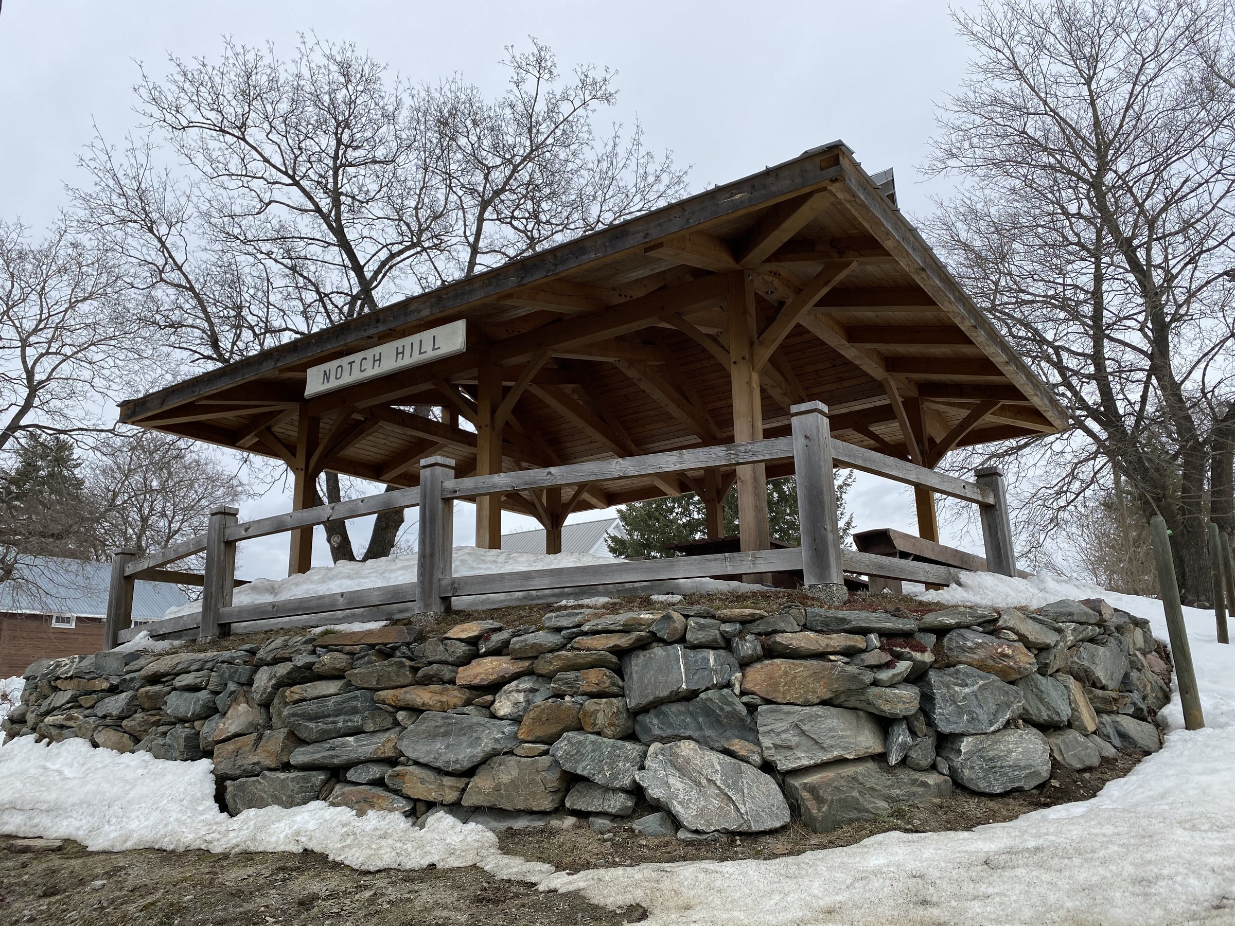
Notch Hill - Tappen
50 km · Full day

A Shuswap country loop through Tappen, Notch Hill, Sorrento, and Blind Bay: quiet farm roads, lake views, and vineyard stops.

ModerateRide with trafficMixed surface
Photo: Hubert KangCache Creek, BC
North Shuswap - Tsutswecw
84 km · Full day

North Shuswap riding through Squilax, Scotch Creek, and Celista, 5 to 84 km, past the famous Adams River salmon run.

AmbitiousCalm streets, some sharingMixed surface
Photo: Kari MedigPenticton, BC
Kettle Valley Rail Trail - Hope to Summerland
254 km · Weekend or more

The western KVR from Hope toward Summerland via Tulameen, Princeton, and Osprey Lake: quiet, historic rail trail through big country.

AmbitiousRide with trafficMixed surfaceRemote stretches
Tulameen, BC
Hike-Bike Trail & Black Sage Road
40 km · Full day

Flat, quiet riding near Oliver on the Hike-Bike Trail and Black Sage Road, through vineyards with birdsong for a soundtrack.

ModerateCalm streets, some sharingMostly paved
Photo: Cristina GareauSun Peaks, BC
Similkameen
40 km · Full day

The Similkameen Valley by bike: 4 to 40 km through Cawston and Keremeos, organic orchards, vineyards, and riverside rail trail.

EasyRide with trafficMostly paved
Photo: Darren RobinsonCawston, BC
Corkscrew & Grasslands
23 km · Afternoon

An out-and-back climb between Okanagan Falls and Oliver, where grassland benches open up big views over the vineyards.

EasyRide with trafficMostly paved
Photo: Kari MedigOkanagan Falls, BC
Skaha Lake
30 km · Full day

The Skaha Lake loop links Penticton, Kaleden, and Okanagan Falls: lakefront rail trail, vineyards, and beaches, 2 to 30 km.

ModerateCalm streets, some sharingMostly paved
Photo: Thompson Okanagan Tourism AssociationPenticton, BC
Penticton Exploring
20 km · Afternoon

Penticton by bike: 1.5 to 20 km of easy urban riding linking two lakefronts, rail trail, and wine country's front door.

EasyComfortable for mostMostly paved
Photo: Kari MedigPenticton, BC
Naramata
37 km · Full day

The Naramata loop near Penticton: vineyards, lakefront, and KVR bench riding, 7 to 37 km of wine country at bicycle speed.

AmbitiousCalm streets, some sharingMostly paved
Photo: Hubert KangNaramata, BC

bikepacking.com

bikepacking platformvisit site →
bikepacking.com is an independently operated, member-supported bikepacking media platform founded in 2012 by Logan Watts. It publishes original and curated bikepacking routes, gear reviews, adventure stories, and planning guides, with a global route network spanning nearly 50 countries, alongside a biannual print magazine, The Bikepacking Journal.
All 33 of their BC rides + their story →
BC Grasslands Circuit
250 km · Weekend or more

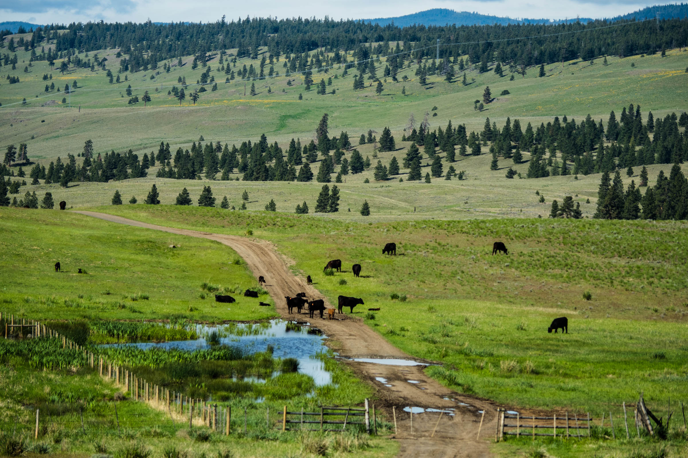
Three days and 250 km of semi-arid ranch country south of Kamloops, a dry-belt landscape most BC routes never touch.

AmbitiousCalm streets, some sharingMostly gravelLots of climbing
Photo: Andrew StrainKamloops, BC
Chute Lake Charcuterie Route, Kelowna
103 km · Weekend or more

An overnighter from downtown Kelowna: singletrack up to the KVR, a night at Chute Lake Lodge, and a grin-inducing descent home.

AmbitiousComfortable for mostMostly gravelRough, near-MTBLots of climbing
Photo: Thompson Okanagan Tourism AssociationKelowna, BC
Coast Mountains Bikepacking
772 km · Expedition

A 772 km, two-week traverse of BC's biggest, wildest range, from Harrison Lake's fjord country to the Chilcotin's last slice of Wild West.

EpicComfortable for mostAlmost all gravelChunky gravelMax climbingRemote stretches
Photo: Thompson Okanagan Tourism AssociationLillooet, BC
Kootenay Confluence (BC Only)
473 km · Expedition

The West Kootenays' flagship: a nine-day loop from Nelson linking rail grades, gravel, and lake country, dipping into Washington and back.

AmbitiousComfortable for mostMostly gravelLots of climbingRemote stretches
Photo: Kari MedigNelson, BC
Lac du Bois Tranquility, Kamloops
229 km · Weekend or more

A 229 km gravel time machine north of Kamloops: grasslands, hoodoos, Sasquatch stories, and gold-rush history on quiet ranch roads.

ChallengingComfortable for mostMostly gravelChunky gravelLots of climbingRemote stretches
Photo: Andrew StrainKamloops, BC
Santa Rosa Valleys and Vistas
208 km · Weekend or more

Four days out of Castlegar around the Rossland Range: the Columbia & Western rail grade, the Bulldog Tunnel, and flowy historic singletrack.

ChallengingCalm streets, some sharingMostly gravelChunky gravelMax climbing
Photo: Dave HeathKootenay Rockies, BC
Santa Rosa Valleys and Vistas - Gravel Bike Friendly Version
202 km · Weekend or more

The gravel-bike version of Santa Rosa Valleys and Vistas: the same West Kootenay loop from Castlegar with the singletrack tamed.

ChallengingCalm streets, some sharingMostly gravelChunky gravelMax climbing
Photo: Mitch WintonCastlegar, BC
The BC Trail
1164 km · Expedition

The 1,164 km flagship traverse of southern BC, Fraser Valley to Fernie, on historic rail trails, gravel, and the occasional singletrack surprise.

EpicComfortable for mostMostly gravelChunky gravelLots of climbing
Photo: Kari MedigKimberley, BC

Elbow Valley Cycle Club

cycling clubvisit site →
Elbow Valley Cycle Club is a Calgary-based recreational cycling club, one of the largest in Western Canada with roughly 700 members. It organizes about 250 events a year, including road, gravel, and multi-day touring rides, several of which cross into British Columbia.
All 6 of their BC rides + their story →

Great Northern Bikepacking Route

individual route creatorvisit site →
The Great Northern Bikepacking Route (GNBR) is an independently created, mostly off-road bikepacking route spanning over 13,000 km across 10 Canadian provinces and 3 U.S. states, from the Pacific to the Atlantic — one of the most ambitious route-mapping projects in the country. It is published segment by segment on a dedicated website, with route data on RideWithGPS and gear and provisioning notes alongside the maps.
All 2 of their BC rides + their story →

BT 700 Bikepacking

individual route creatorvisit site →
BT 700 Bikepacking is a route-publishing site run by Ontario adventure cyclist and writer Matthew Kadey, one of Canada's most prolific bikepacking route builders. It grew out of the original BT700 gravel loop in southwestern Ontario and now offers downloadable route files for gravel and bikepacking rides across Canada, including several in British Columbia.
All 10 of their BC rides + their story →

Cross Canada Cycle Tour Society

touring organizationvisit site →
The Cross Canada Cycle Tour Society (CCCTS) is a non-profit cycling club founded in 1982, based in British Columbia with a chapter in Ottawa. In its own words, it is a club for active adults of all ages; members are mainly retired people who love recreational cycling. Volunteers organize weekly day rides plus multi-day and cross-Canada tours, some of which have run continuously since the 1980s.
All 10 of their BC rides + their story →

Bike Gear Database

route networkvisit site →
Bike Gear Database is a Canadian online publication covering gravel and bikepacking gear reviews, rider stories, and community-submitted route guides. Routes are organized by country and region, including a Canada section with several British Columbia rides — and every route in the library has actually been ridden by the community before it's published.
All 12 of their BC rides + their story →

Trails BC

trail organizationvisit site →
Trails BC (the Trails Society of BC) is a non-profit charity that advocates for greenway trails for self-propelled recreation and active transportation across the province.
All 12 of their BC rides + their story →

Trans Canada Bike Route Network

route networkvisit site →
A volunteer-run, community-collaborative project mapping a proposed coast-to-coast National Cycling Route Network for Canada. It publishes route data as GPX files, a Garmin BaseCamp database (GDB) with points of interest, KMZ files for offline smartphone use, interactive Google Maps, and a curated Ride with GPS collection.
All 1 of their BC rides + their story →

Trans Canada Trail

trail organizationvisit site →
Trans Canada Trail is a national charitable organization, based in Ottawa, that coordinates and maintains the Trans Canada Trail (also known as The Great Trail) — a roughly 30,000 km multi-use trail network spanning every Canadian province and territory and connecting the Atlantic, Pacific, and Arctic coastlines. The network supports hiking, cycling, paddling, and other activities, and is built and managed through partnerships with regional and local trail organizations rather than owned as a single continuous trail.
All 2 of their BC rides + their story →

Different corner of BC?#

Vancouver, Coast and Mountains · 142Vancouver Island · 90Kootenay Rockies · 33Cariboo Chilcotin Coast · 10Northern British Columbia · 6
Do you publish well-documented cycling routes in BC — road, gravel, touring, or family rides?

We're interested in learning more about where you love to ride. Drop us a note and tell us what you publish.

hello@bccycletourism.ca