BC Cycle Tourism Society

Let's Go Biking

guidebook author Visit Let's Go Biking ↗

Let's Go Biking is a British Columbia cycling guidebook series written by Colleen MacDonald, a champion of slow, scenic, family-friendly riding. Her three guidebooks — Around Vancouver; Okanagan and Beyond; and Vancouver Island, the Gulf Islands and Sunshine Coast — come with a companion website of mapped rides, walks, and runs.

Their BC collection

Let's Go Biking's BC coverage spans all three guidebooks, with 179 mapped rides in this collection. Most are day rides on quiet roads, greenways, dykes, and rail trails, rated easy to moderate, alongside longer options up to multi-day Kettle Valley Rail Trail (KVR) trips. The focus is family-friendly, scenery-first cycling rather than road touring or bikepacking.
All 179 BC rides#

Open any ride for its welcoming stops and how to get there. The full writeup, map, and directions live on Let's Go Biking's website.

Vancouver, Coast and Mountains · 94

Photo: Indigenous Tourism BCAgassiz, BC
Ridge Meadows Dyke
7 km · 7 m up
EasyComfortable for mostAlmost all gravelGentle grades

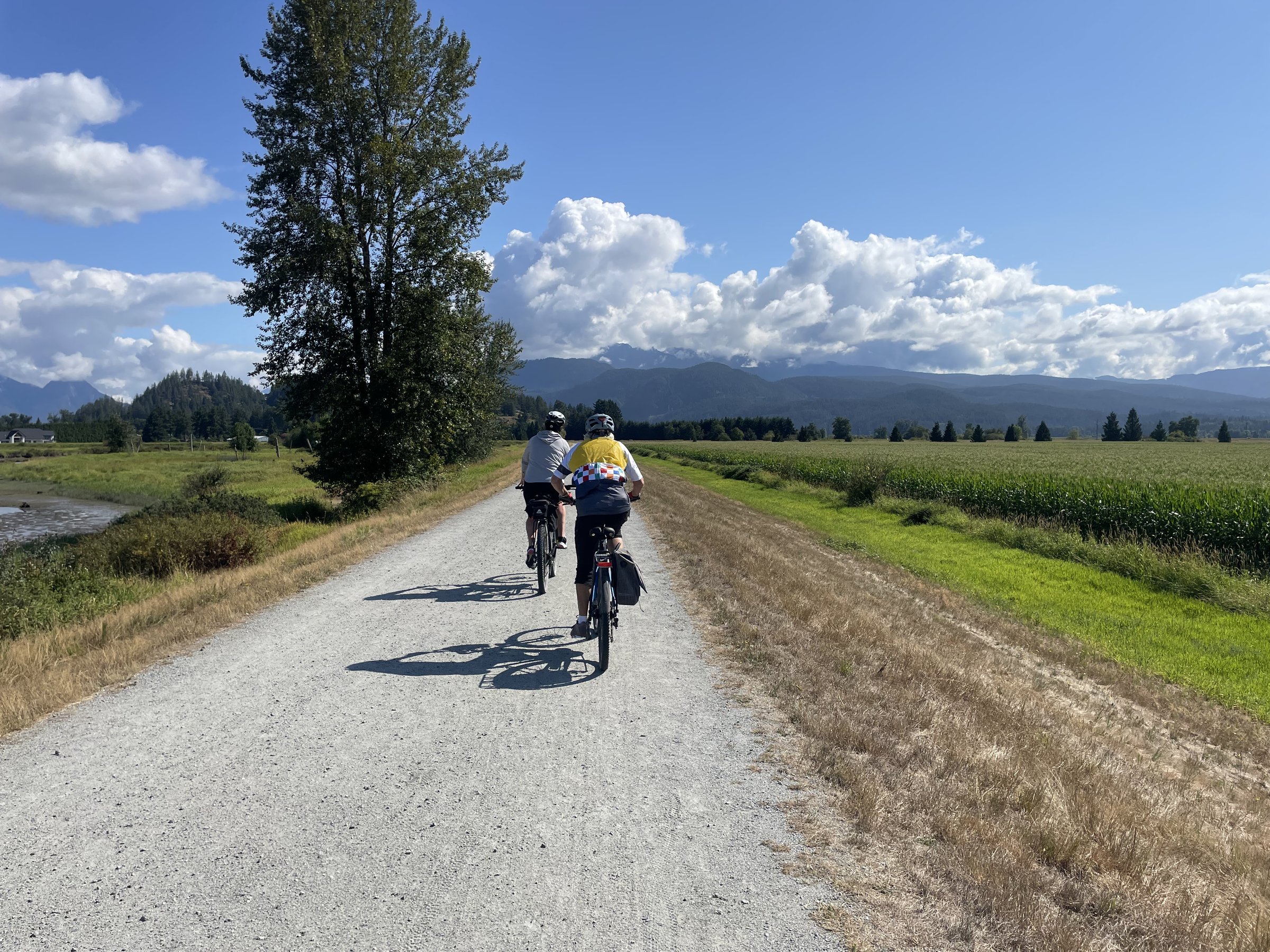
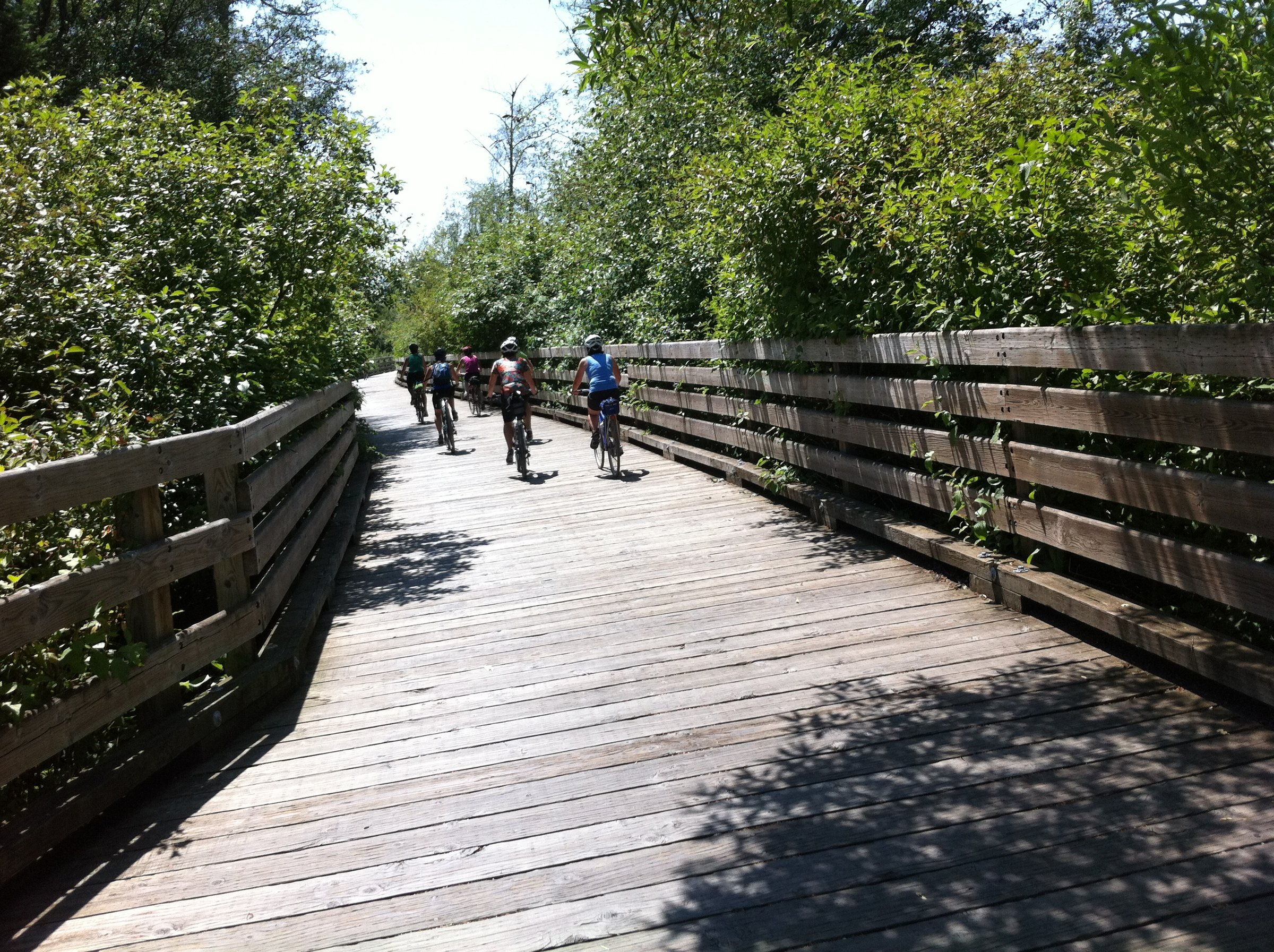
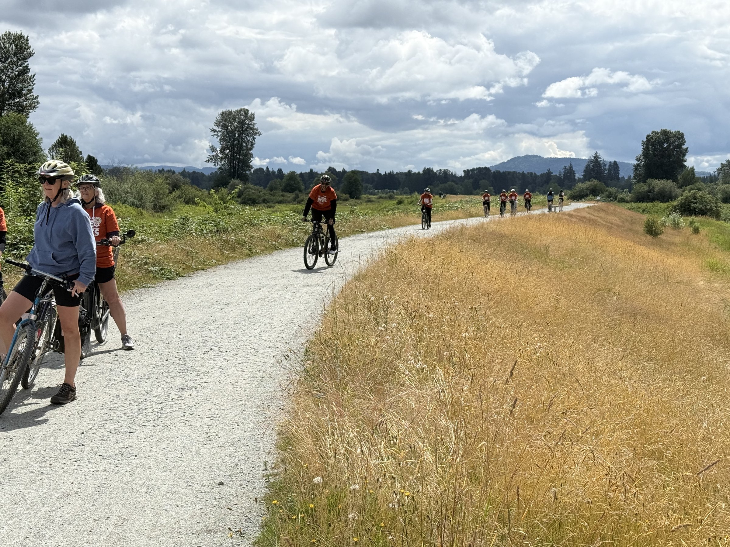
The Ridge Meadows dykes follow an old rail corridor between Pitt Meadows and Maple Ridge, flat gravel the whole way, with the river beside you and farmland stretching out on the other side. It is 7 km one way, 14 km return, and comfortable for almost anyone, kids included.

Stops, map + getting there →
Photo: Andrew StrainVancouver, Coast and Mountains, BC
Pitt Lake (Trails)
50 km · 125 m up
AmbitiousComfortable for mostMostly gravelChunky gravelGentle grades

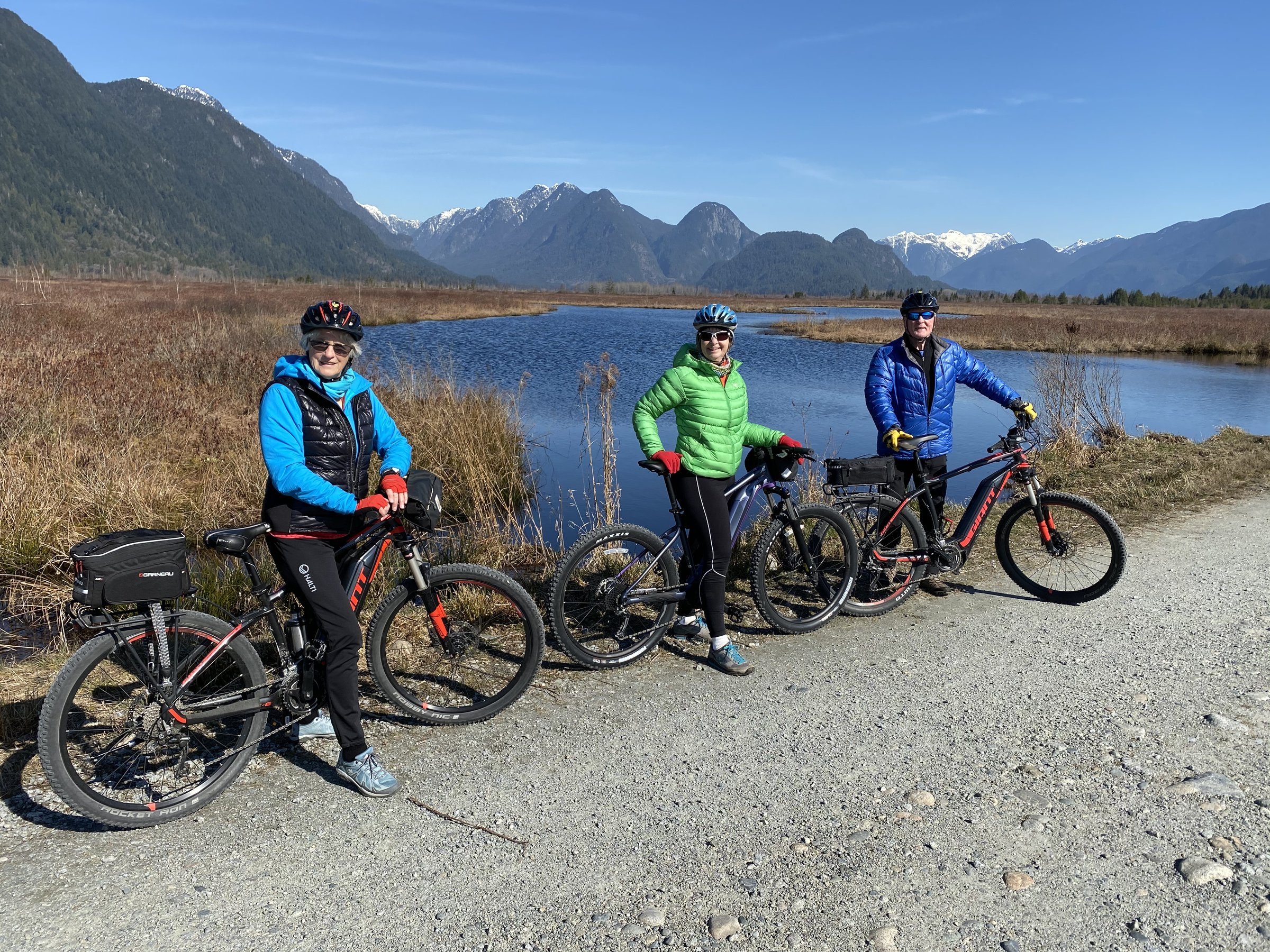
The Pitt Lake trails run 20 km one way (40 return) from Pitt Meadows through polder farmland and marsh to the shores of one of the world's few freshwater tidal lakes. Flat the whole way but rough gravel in long stretches, so wider tires help. The birdwatching, eagles, herons, and sandhill cranes in season, is among the region's best.

Stops, map + getting there →
Photo: Vision Event PhotographyVancouver, BC
Around the Mountain
23 km
AmbitiousComfortable for mostMixed surface

Around the Mountain circles Burnaby Mountain in a 27 km loop linking Port Moody, Coquitlam, and Burnaby, climbing through forest with stretches of singletrack and open views from the high point. One of the harder rides in the Vancouver collection, with real climbing and mixed surfaces.

Stops, map + getting there →
Photo: Hubert KangNorth Vancouver, BC
Barnston Island (from Tynehead Park)
18 km · 22 m up
AmbitiousComfortable for mostMixed surfaceChunky gravelGentle grades

From Tynehead Park in Surrey, roll down to the Fraser and catch the tiny free ferry, a two-minute crossing, to Barnston Island, where a flat, quiet 10 km lap circles riverside farmland full of bird life. No cars to speak of, no hills at all, and a picnic spot around every corner. The road surface runs rough in patches, so take it easy.

Stops, map + getting there →
Photo: Kindred ScoutVancouver, Coast and Mountains, BC
Belcarra Park & Sasamat Lake 40km
21 km · 469 m up
AmbitiousComfortable for mostMostly pavedMax climbing

This 26 km loop from Port Moody climbs through forest to Sasamat Lake, one of the Lower Mainland's warmest swimming lakes, and out to the seaside at Belcarra, with singletrack options and historic sites along the way. The hills are honest work, around 470 m of climbing, which is what keeps the roads quiet.

Stops, map + getting there →
Photo: Chris WheelerMaple Ridge, BC
Blue Heron Loop
18 km · 130 m up
AmbitiousComfortable for mostAlmost all gravelChunky gravelSome climbing

The Blue Heron Loop covers 18 km of quiet dyke gravel, farmland, and forest singletrack between Pitt Meadows and Maple Ridge. Nearly flat but almost all unpaved and rough in stretches, it rewards wider tires and unhurried pace, and the birdwatching, herons especially, is the point.

Stops, map + getting there →
Photo: Albert NormandinVancouver, BC
BMUT - Burnaby Mountain Urban Trail
17 km
EasyComfortable for mostMostly paved

The Burnaby Mountain Urban Trail runs flat along the mountain's forested flank for 8.5 km one way, 17 return. An easy, family-friendly ride that turns quietly spectacular in fall when the deciduous stretches light up.

Stops, map + getting there →
Photo: Tanya GoehringWest Vancouver, BC
BMUT Lougheed to Gastown
42 km
ModerateComfortable for mostMixed surface

An extension of the Burnaby Mountain Urban Trail, this 21 km one-way route runs from Lougheed to Gastown, trading forest for waterfront and finishing among historic brick streets. SkyTrain stations at both ends make the logistics effortless: ride one way, train back.

Stops, map + getting there →
Photo: Albert NormandinVancouver, Coast and Mountains, BC
Boundary Bay Dyke Trail
25 km · 12 m up
EasyComfortable for mostAlmost all gravelGentle grades

The Boundary Bay Dyke Trail runs dead flat along Delta's shoreline between sea and farmland, with access points offering rides of 15, 30, or 40 km. This is one of Canada's premier birdwatching areas, hawks and herons in every season, snowy owls in irruption winters, with mountain views across the bay thrown in.

Stops, map + getting there →
Photo: Kindred ScoutNorth Vancouver, BC
Burnaby Lakes & Creeks
28 km · 266 m up
ModerateComfortable for mostMixed surfaceSome climbing

Burnaby Lakes and Creeks loops through the parkland at the city's green heart, 11 to 29 km past Burnaby Lake, Deer Lake, and the creek trails that join them. Family-friendly, mostly gentle, and a reminder of how much forest hides inside the city.

Stops, map + getting there →
Photo: Hubert KangNorth Vancouver, BC
Burrard Inlet Trails
7 km
AmbitiousComfortable for mostMostly gravelChunky gravel

The Burrard Inlet Trails run 4 to 20 km out and back between Burnaby and Port Moody, mixing easy waterfront path with rougher forest singletrack. Choose the shoreline sections for a family outing, or add the trail stretches, which run genuinely rocky and rooty, for something livelier.

Stops, map + getting there →
Photo: Ben GirardiPemberton, BC
Campbell Valley
26 km · 121 m up
EasyCalm streets, some sharingMixed surfaceGentle grades

Campbell Valley in South Langley offers everything from a 7 km perimeter trail to a full 27 km loop, wandering regional parkland, horse country, and farmland, with the historic Langley Speedway site a curious side trip. Local wineries dot the surrounding roads, and the terrain stays gentle throughout.

Stops, map + getting there →
Photo: VancityWildRichmond, BC
Canoe Pass Trail (Brunswick Point)
7 km
EasyComfortable for mostMostly gravelChunky gravel

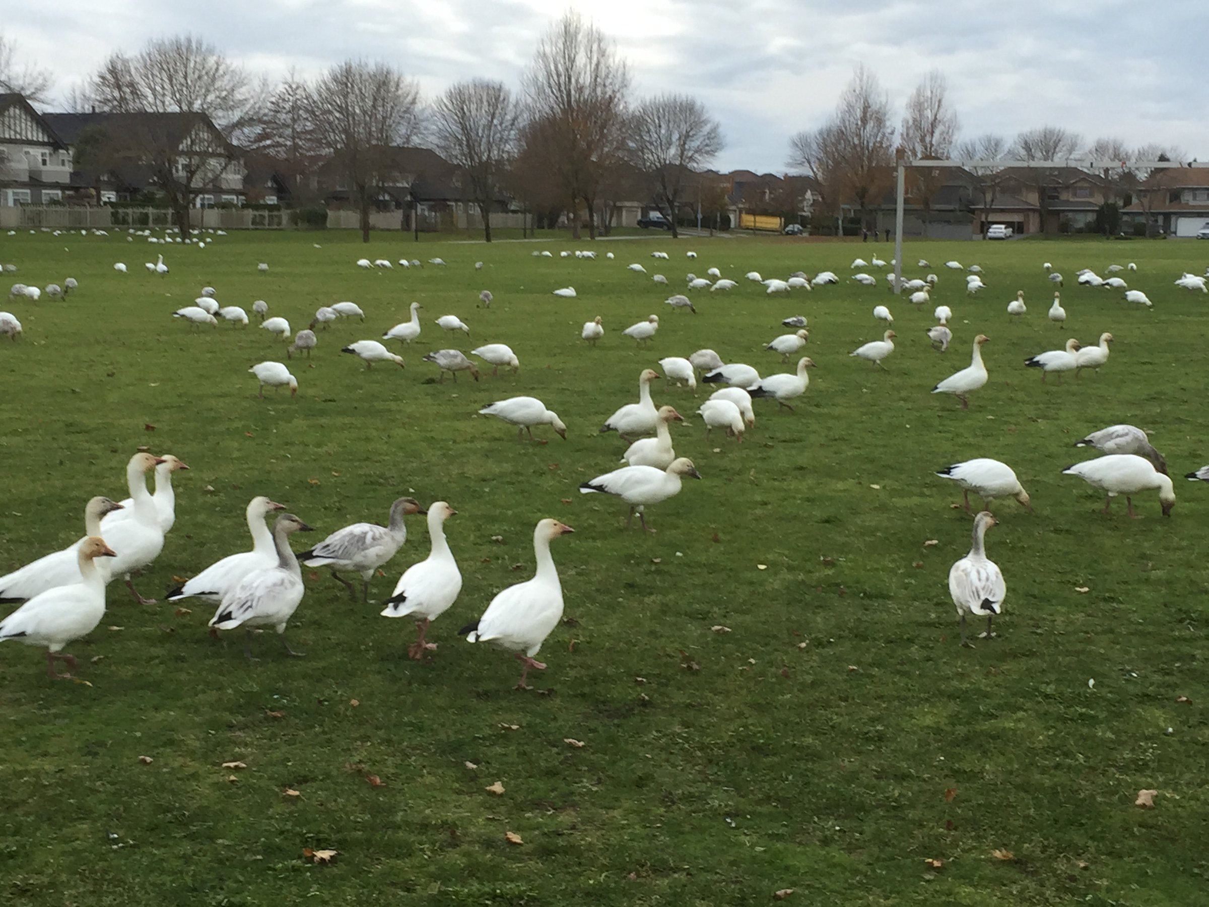
The Canoe Pass Trail at Brunswick Point runs flat and quiet along the dyke near Ladner, 10 to 14 km out and back where the Fraser meets the sea. Wildflowers colour the banks in summer, and this is superb raptor and shorebird country, with snow geese passing through in season. Gravel surface, no hills at all.

Stops, map + getting there →
Photo: Viranlly Liemena viranllyChilliwack, BC
Canyon to Coast Trail Loop
34 km · 33 m up
EasyComfortable for mostMostly gravelGentle grades

Canyon to Coast follows a riverside dyke trail near Chilliwack, 18 km one way and 36 return, flat the whole way through farmland and parkland on a former rail corridor. A shorter 15 km road option runs nearby. Mountains bracket the valley on both sides, so the views come free.

Stops, map + getting there →
Photo: Kindred ScoutNorth Vancouver, BC
Central Valley Greenway
25 km · 297 m up
ModerateComfortable for mostMostly pavedSome climbing

The Central Valley Greenway runs 25 km from Vancouver through Burnaby to New Westminster, flat, mostly paved, and stitched with parkland and riverside stretches. SkyTrain stations along the corridor make it easy to ride exactly as far as you feel like and train home.

Stops, map + getting there →
Burnaby, BC
Coquitlam Parks
18 km · 240 m up
AmbitiousComfortable for mostMixed surfaceLots of climbing

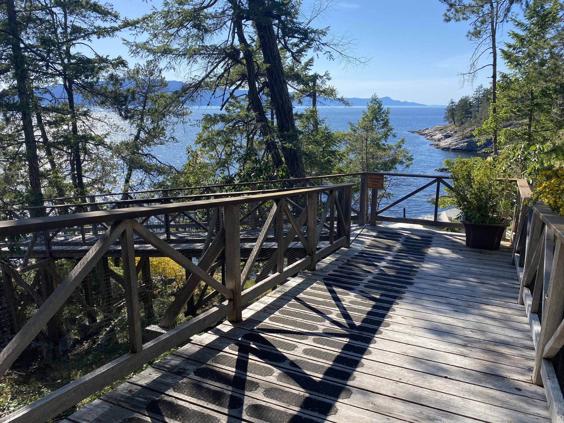
Coquitlam Parks loops 15 to 18 km through the city's green spaces, linking lake, forest, and parkland with public art along the way and SkyTrain access making it car-free friendly. Gentle enough for families, with a bit of climbing to keep it interesting.
Stops, map + getting there →
Photo: Michael BednarVancouver, Coast and Mountains, BC
David's Loop
18 km · 273 m up
AmbitiousComfortable for mostMostly pavedLots of climbing

David's Loop runs 18 km through forest, riverside, and parkland between Coquitlam and Port Moody, with stretches of easy singletrack. Mostly family-friendly, though the hills are punchier than the parkland setting suggests.

Stops, map + getting there →
Photo: Hubert KangVancouver, BC
Deep Cove + Spirit Trail East
10 km · 133 m up
AmbitiousComfortable for mostMixed surfaceLots of climbing

This 10 km loop out to Deep Cove in North Vancouver mixes seaside path and forest riding, with one honest climb rewarded by open water views over Indian Arm. Deep Cove's cafes and famous doughnuts make the natural halfway stop.

Stops, map + getting there →
Photo: Hubert KangNorth Vancouver, BC
Delta Watershed + Joe Brown Trails
35 km · 94 m up
EasyComfortable for mostMostly gravelGentle grades

The Delta Watershed and Joe Brown trails loop 8 to 35 km through a surprisingly deep pocket of forest between Delta and Surrey, mostly gravel with easy singletrack threading the trees. Flat, quiet, and shaded, a local secret for hot days.

Stops, map + getting there →
Photo: The Fraser Valley GroupAbbotsford, BC
Discovery Trail West
9 km
EasyComfortable for mostMostly paved

Abbotsford's Discovery Trail crosses the city in two halves, west (9 km one way) and east (11 km one way), for up to 40 km of riding through parkland and farm edges, mostly paved with gentle grades. Good fall colour, and easy to ride in whatever piece fits your day.

Stops, map + getting there →
Photo: Andrew StrainVancouver, Coast and Mountains, BC
Fort to Fort Trail
12 km · 52 m up
EasyComfortable for mostAlmost all gravelGentle grades

The Fort to Fort Trail links the site of the original Fort Langley with today's national historic site, following the Fraser through riverside and farmland on flat gravel. Ride 12 to 30 km depending on the combination, adding the Brae Island loop for more. History at both ends, and Fort Langley village's cafes in the middle.

Stops, map + getting there →
Photo: Nelson MouellicVancouver, BC
Fraser Loop
35 km
AmbitiousCalm streets, some sharingMixed surface

The Fraser Loop runs 35 km along the river through Burnaby, Vancouver, Richmond, and New Westminster, following the working waterfront where log booms, tugs, and herons share the water. Mostly flat with connecting city streets, a good half-day that shows a side of the region most rides miss.

Stops, map + getting there →
Photo: Abby CooperVancouver, Coast and Mountains, BC
Fraser Shores
8 km · 50 m up
ModerateComfortable for mostMostly gravelSome climbing

Fraser Shores is a quiet, flat out-and-back along the Fraser River between Burnaby and Vancouver, 6 km each way on a mix of gravel and paved path. Simple, calm riverside riding suited to families and unhurried afternoons.

Stops, map + getting there →
Photo: Harbour AirVancouver, Coast and Mountains, BC
Friesen Loop White Rock to Crescent Beach
24 km
EasyComfortable for mostMixed surface

This 24 km loop connects White Rock and Crescent Beach in South Surrey, mixing quiet roads with gravel path as it rounds the bay between two of the area's favourite seaside villages. Mostly flat, with beach stops and fish and chips as natural incentives.

Stops, map + getting there →
Photo: Tyler GarnhamDelta, BC
Glen Valley Glide
42 km · 243 m up
ModerateRide with trafficMostly pavedGentle grades

The Glen Valley Glide loops 30 km through quiet farmland and riverside country between Fort Langley and Abbotsford, following stretches of former rail corridor past small wineries. Rolling rather than flat, and glorious in fall colour.

Stops, map + getting there →
Photo: Heath MoffattWhistler, BC
Golden Dreams Loop - Whistler Valley Trail
15 km · 95 m up
ModerateComfortable for mostMostly pavedSome climbing

The Whistler Valley Trail links the resort's lakes on paved, nearly flat path: the classic 15 km loop passes Lost Lake, Green Lake, and Alta Lake, and the 26 km five-lake version adds Nita and Alpha via Creekside. Mountain views the whole way, swimming docks in summer, and family-friendly from end to end.

Stops, map + getting there →
Photo: Hubert KangNorth Vancouver, BC
Great Blue Heron Way
8 km
EasyComfortable for mostMostly gravel

Great Blue Heron Way is a short, flat, quiet ride on Tsawwassen First Nation land, 4 km one way and 8 return along the seaside, with wildflowers in season and the namesake herons a common sight on the flats.

Stops, map + getting there →
Photo: Kindred ScoutNorth Vancouver, BC
Green Necklace
7 km · 147 m up
AmbitiousComfortable for mostMostly pavedMax climbing

The Green Necklace circles central North Vancouver in a 7 km greenway loop, linking parks, public art, and heritage streets. Short, paved, and family-friendly, with more climbing than you might expect for its size, and cafes at every compass point.

Stops, map + getting there →
Photo: Kindred ScoutVancouver, Coast and Mountains, BC
Green Timbers Park + Greenway
11 km · 66 m up
ModerateComfortable for mostMostly pavedSome climbing

Green Timbers, the forest that started BC's reforestation story, and neighbouring Tynehead Park combine with a connecting greenway for 2 to 18 km of quiet, mostly flat riding under tall trees in the middle of Surrey. Good birdwatching and easy family terrain throughout.

Stops, map + getting there →
Photo: Indigenous Tourism BCAgassiz, BC
Harbour Loop
30 km
AmbitiousComfortable for mostMostly paved

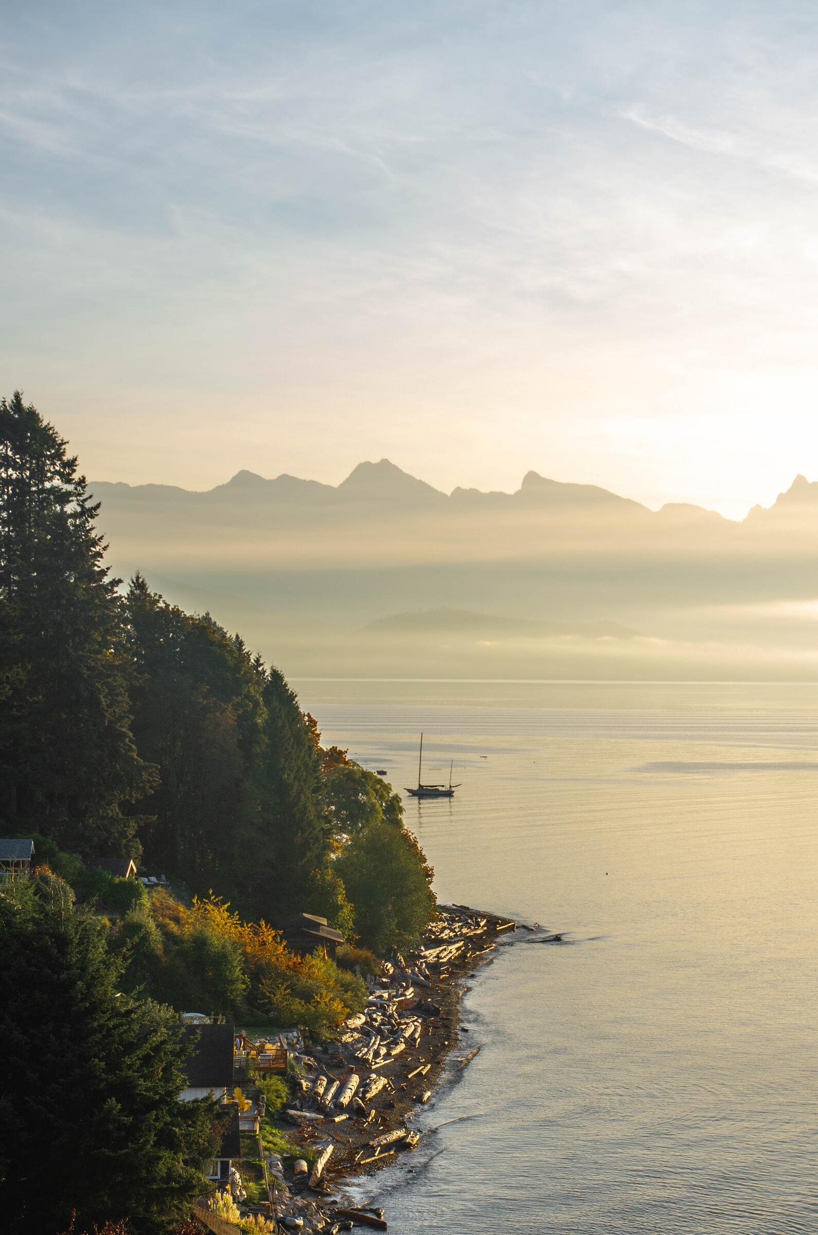
The Harbour Loop circles Burrard Inlet for 32 km, linking Vancouver and North Vancouver's waterfronts by bridge, with container cranes, shipyards, seawall, and historic Gastown along the way. Flat and paved, its length is the only challenge, and the SeaBus offers a shortcut if the day runs long.
Stops, map + getting there →
Photo: Indigenous Tourism BCAgassiz, BC
Iona Jetty
26 km · 5 m up
EasyComfortable for mostMostly gravelGentle grades

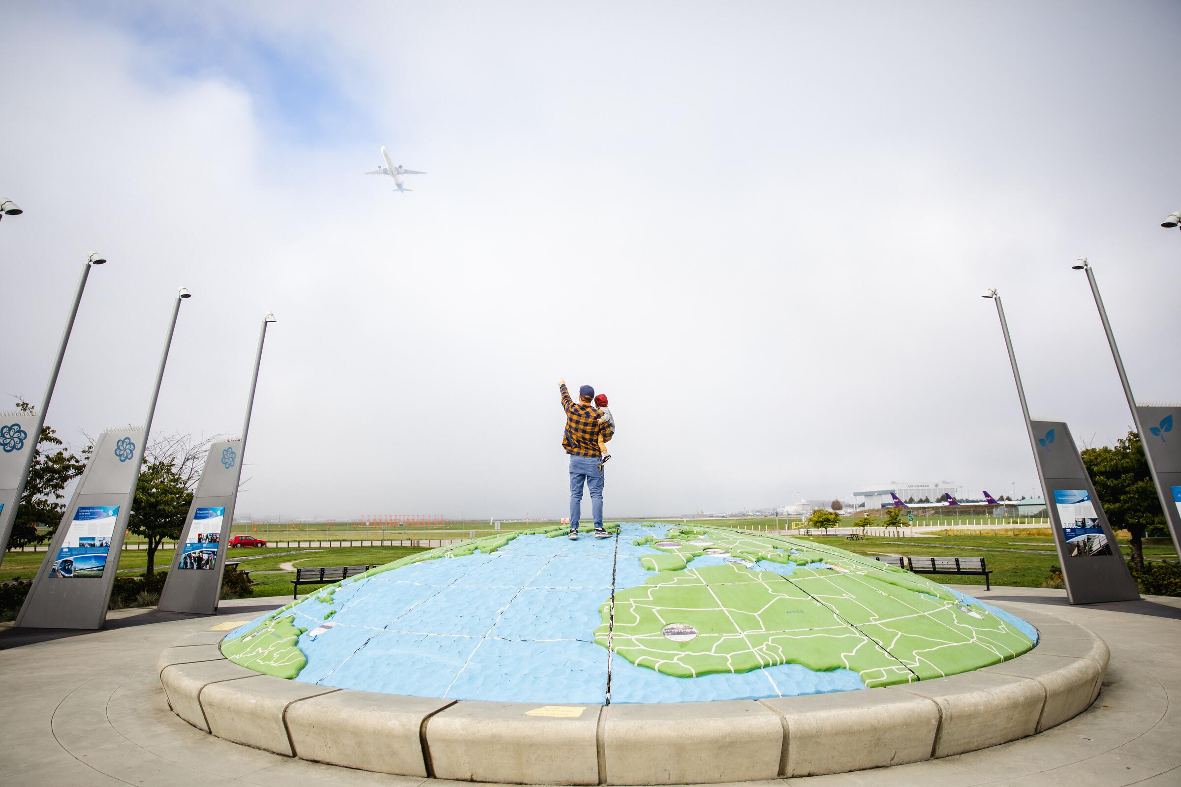
The Iona Jetty runs arrow-straight into the Strait of Georgia from Iona Beach on Sea Island, one of the region's most unusual rides: 4 km out over the water with ocean on both sides, part of an 8 to 24 km outing from Richmond. Dead flat, big skies, and world-class birdwatching at the beach and lagoons.

Stops, map + getting there →
Photo: Yvonna ChowPowell River, BC
North Sunshine Coast
180 km
AmbitiousComfortable for mostMixed surface

The north Sunshine Coast offers rides from a 5.5 km Okeover Arm amble to the coast's big adventures: the ferry-to-ferry road run, the 13 km Inland Lake loop on one of BC's most accessible trails, quiet roads to Lund at the end of Highway 101, and for the ambitious, trail options along the 180 km Sunshine Coast Trail corridor. Forest, lakes, and waterfront throughout, with real hills on the longer routes.

Stops, map + getting there →
Photo: Shayd JohnsonLund, BC
Texada Island • Savary Island
100 km
AmbitiousCalm streets, some sharingMostly gravelChunky gravel

A ferry-hop pairing with two very different personalities: Texada, the big quiet island of gravel roads, forest, and honest hills, ridden in sections from 16 to 48 km, and little Savary, 18 km of sandy lanes rimmed by some of BC's warmest beaches, reached by water taxi. Together they make 18 to 100 km of seaside riding with wildlife, history, and hardly any traffic.

Stops, map + getting there →
Photo: Heath MoffattVancouver, BC
Tiskwat • Powell River
16 km
ModerateCalm streets, some sharingMostly paved

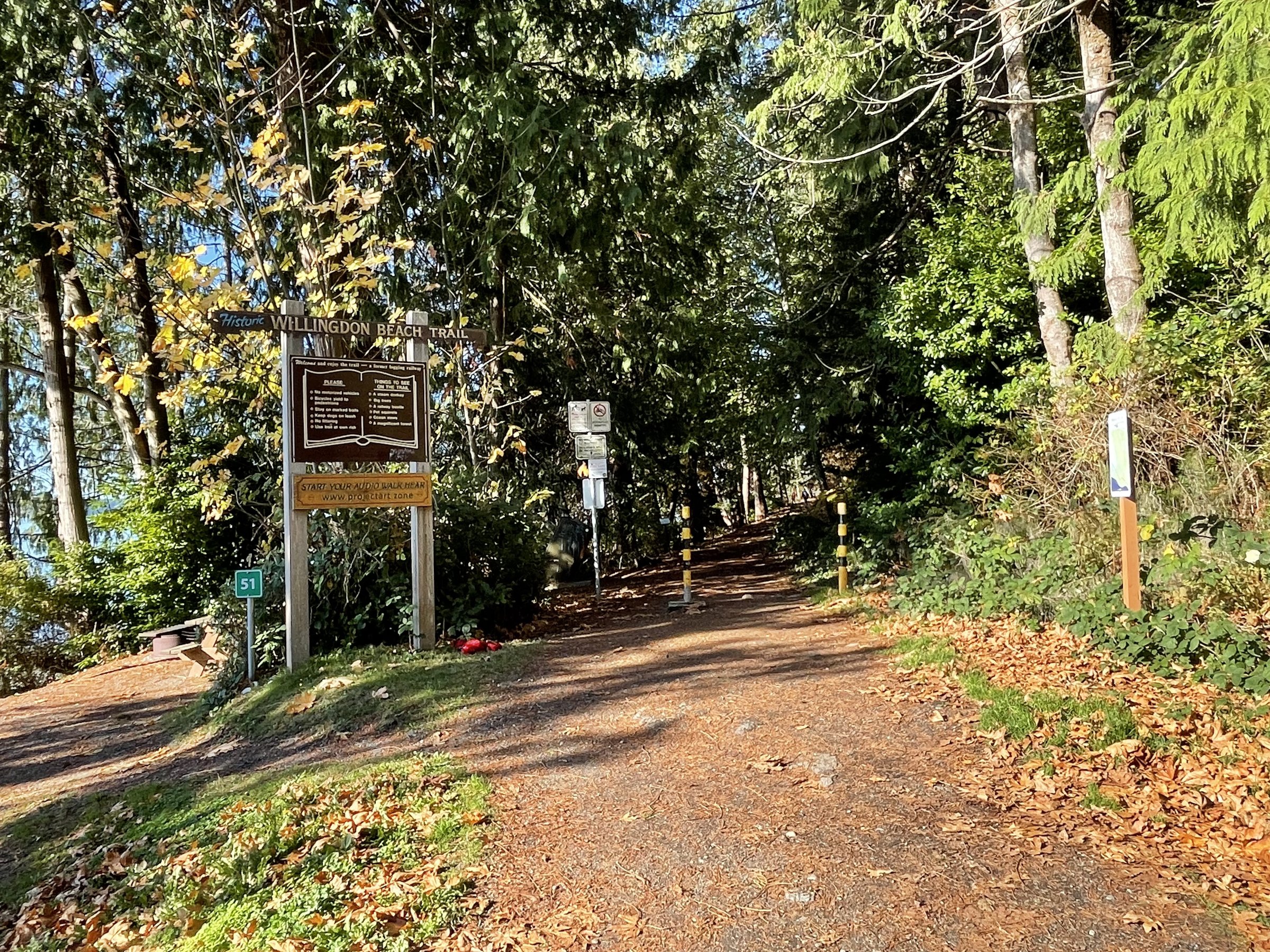
In Powell River, on the lands the Tla'amin people call Tiskwat, rides run from the 1.5 km Willingdon Trail and waterfront seawalk to a 13 km town loop, taking in the National Historic District Townsite with its century-old mill-town streets. Family-friendly at the short end, hillier as the loops grow, with the ocean rarely out of sight.

Stops, map + getting there →
Photo: Albert NormandinMadeira Park, BC
Egmont to Secret Cove
36 km
ChallengingCalm streets, some sharingMixed surfaceChunky gravel

This point-to-point route explores the upper Sunshine Coast between Egmont and Secret Cove, with variations from 3 to 36 km taking in Garden Bay, Francis Point, and the Suncoaster Trail. The country is hilly and forested, the ocean never far, and the side trip to Skookumchuck Narrows, where the tide boils through at up to 30 cm a second, is worth planning around the current tables. Expect real climbing and some rough surfaces.

Stops, map + getting there →
Photo: Dolf VermeulenSechelt, BC
Sechelt • Halfmoon Bay
50 km
AmbitiousCalm streets, some sharingMixed surface

The riding around Sechelt and Halfmoon Bay runs 2 to 50 km, from easy waterfront ambles at Porpoise Bay to the Redrooffs road along Halfmoon Bay and the walkable side trip to Smuggler Cove's hidden anchorage. Quiet forested roads, seaside parkland, and enough hills to remind you the Sunshine Coast is not flat. Family options and adventure options share the same map.

Stops, map + getting there →
Photo: Nancy ShieldsGibsons, BC
Sunshine Coast South
55 km
ModerateCalm streets, some sharingMostly paved

The southern Sunshine Coast strings Davis Bay, Roberts Creek, and Gibsons together with rides from a 4 km waterfront amble to a 34 km run down the coast. Quiet forested roads and seaside stretches, hills that mean it, and Gibsons' brewery and harbour front to finish. Highway sections carry traffic, so the quieter parallel roads are worth the detours.

Stops, map + getting there →
Photo: Kindred ScoutNorth Vancouver, BC
Gibsons
55 km
ModerateRide with trafficMostly paved

A ferry ride from Horseshoe Bay lands you in Gibsons, where rides run from a 4 km esplanade amble to a 55 km day taking in the Ocean Beach Esplanade, quiet forested roads toward Port Mellon, and connections down the coast to Roberts Creek. The town's brewery and harbour cafes anchor the start and finish. The hills are real on the longer options, and the highway stretches carry traffic.

Stops, map + getting there →
Photo: Andrew StrainVancouver, Coast and Mountains, BC
Goin' to Bowen (Bowen Island)
32 km
AmbitiousCalm streets, some sharingMostly paved

Twenty ferry minutes from Horseshoe Bay, Bowen Island offers rides from a 2 km viewpoint hop to a 32 km out-and-back reaching Cape Roger Curtis, with Killarney Lake for swimming, Artisan Square for coffee, and quiet forested roads throughout. The island is honestly hilly, so gear low and take your time.

Stops, map + getting there →
Photo: Jonny BiermanBoston Bar, BC
Ladner Loop-de-Doop
34 km · 5 m up
EasyCalm streets, some sharingMixed surfaceGentle grades

The Ladner Loop-de-Doop covers 38 km of Delta's riverside, seaside, and farmland, dead flat despite the distance, with historic Ladner Village for coffee and the bay's birdlife for company. A long easy ride rather than a hard one.

Stops, map + getting there →
Photo: Hubert KangNorth Vancouver, BC
Lynn Creek
6 km · 73 m up
AmbitiousComfortable for mostMostly gravelLots of climbing

The Lynn Creek trails loop 4 to 9 km through North Vancouver forest along the tumbling creek, mostly gravel with stretches of easy singletrack and mountain views where the trees open. Small but genuinely pretty, and easy to pair with a suspension-bridge visit.

Stops, map + getting there →
Photo: Viranlly Liemena viranllyAbbotsford, BC
Matsqui Meander
42 km · 49 m up
EasyRide with trafficMixed surfaceGentle grades

The Matsqui Meander combines the flat Matsqui Trail along the Fraser with quiet farm roads in Abbotsford, from a 7 km taster to a 30 km loop on and around a former rail corridor. Family-friendly dyke riding, with mountain views across the river and Willband Creek's wetlands as a side trip.

Stops, map + getting there →
Photo: VancityWildRichmond, BC
Millenium Trail Delta
15 km · 39 m up
EasyComfortable for mostMixed surfaceGentle grades

The Millennium Trail runs flat along the river dyke near Ladner, 6 km one way and 12 return, quiet water on one side and the traces of Delta's fishing and farming history on the other. An easy, peaceful hour or two.

Stops, map + getting there →
Photo: Hubert KangSquamish, BC
Minnekhada
19 km · 180 m up
ModerateComfortable for mostMostly gravelSome climbing

Minnekhada's out-and-back options run 9 to 25 km along a flat former rail corridor and riverside dykes between Coquitlam and Port Coquitlam, reaching the marshes below Minnekhada's historic hunting lodge. Wildlife viewing is the draw, from herons to the occasional bear near the park edges.

Stops, map + getting there →
Photo: VancityWildRichmond, BC
New Westminster Loop
13 km · 54 m up
EasyComfortable for mostMostly pavedGentle grades

The New Westminster Loop covers 15 km along the Fraser waterfront and up through the city's parks and heritage streets, famous for cherry blossoms in spring and rich colour in fall. Mostly flat riverside with gentle city grades, and the Quay's market makes a natural stop.

Stops, map + getting there →
Photo: Hubert KangLangley, BC
Nicomekl
10 km · 189 m up
AmbitiousComfortable for mostMixed surfaceLots of climbing

The Nicomekl combines a 7 km loop with an optional flood-plain spur for up to 13 km near Langley, through quiet riverside forest and parkland with good birdwatching, touches of singletrack, and historic sites along the old river-transport corridor.

Stops, map + getting there →
Photo: VancityWildNorth Vancouver, BC
North Shore Spirit Trail
12 km · 16 m up
EasyComfortable for mostMostly pavedGentle grades

The North Shore Spirit Trail follows the waterfront for 15 km one way between North Vancouver and West Vancouver, flat, paved, and strung with public art, shipyard history, and harbour views. SeaBus access at Lonsdale makes it an easy car-free outing, and the market at the Shipyards anchors the middle.

Stops, map + getting there →
Photo: Hubert KangNorth Vancouver, BC
Pacific Spirit Park
16 km · 310 m up
AmbitiousComfortable for mostAlmost all gravelLots of climbing

Pacific Spirit Park's 16 km loop threads the forest trails between Vancouver and UBC, almost entirely unpaved, quiet under hemlock and fir, with enough rolling climb to feel like a real ride. Hard to believe the city is minutes away.

Stops, map + getting there →
Photo: Hubert KangLangley, BC
Pitt River Greenway
11 km · 23 m up
EasyComfortable for mostAlmost all gravelGentle grades

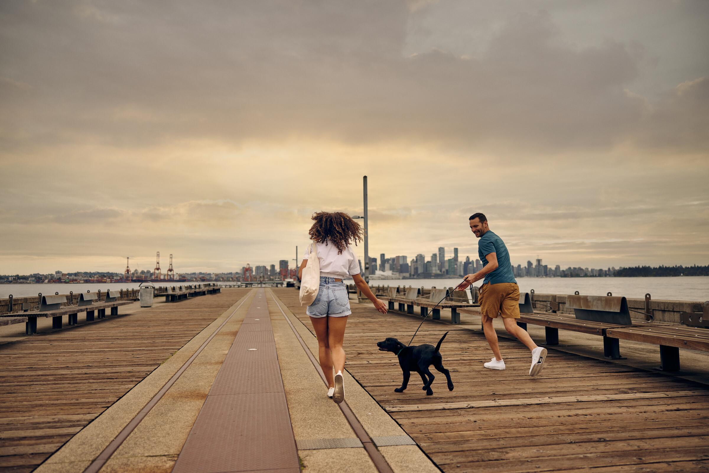
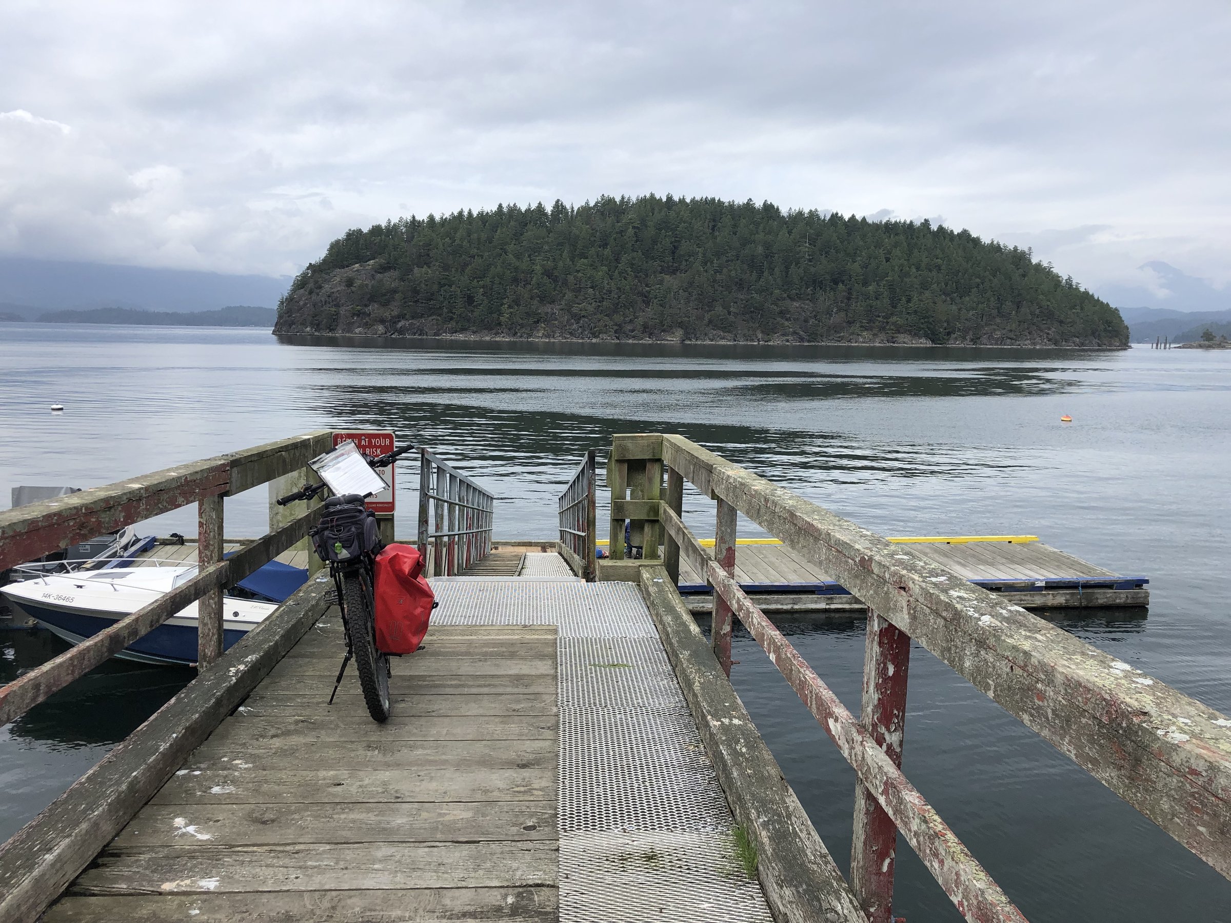
The Pitt River Greenway runs flat along a former rail line beside the river and farmland in Pitt Meadows, 11 km one way and 22 return, with wildlife commonly spotted and the Golden Ears peaks standing over everything. Easy family riding on good gravel.
Stops, map + getting there →
Photo: Craig BarkerPemberton, BC
PoCo Trail
25 km · 29 m up
EasyComfortable for mostMostly gravelGentle grades

The PoCo Trail loops 25 to 35 km around Port Coquitlam on flat former rail line and riverside dyke, linking parks the whole way around. Transit access makes it easy to reach, and the open dyke sections serve up mountain views for free.

Stops, map + getting there →
Photo: Albert NormandinVancouver, BC
Quay & Pier Park
2 km
EasyMostly paved

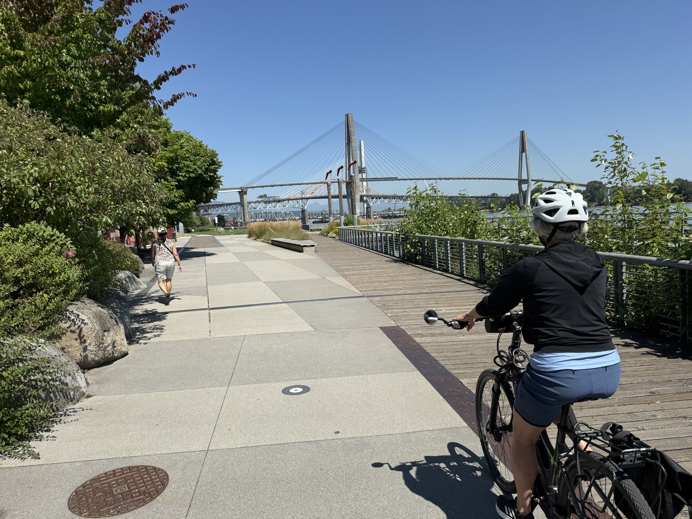
A short, flat waterfront ride along New Westminster's Quay and Pier Park, 2.5 km one way and 5 return, passing the river market and museums. Small enough for the littlest riders, with trains and tugboats providing the entertainment.

Stops, map + getting there →
Photo: Hubert KangVancouver, Coast and Mountains, BC
Queen Elizabeth Park Loop
20 km · 92 m up
EasyComfortable for mostMostly pavedGentle grades

This 20 km loop climbs gently through Vancouver's neighbourhoods to Queen Elizabeth Park, the city's highest point, where the quarry gardens and skyline views reward the effort. Public art and quiet bikeways link the rest of the way around.

Stops, map + getting there →
Photo: The Number CreativeRichmond, BC
Queensborough
19 km · 56 m up
EasyComfortable for mostMixed surfaceGentle grades

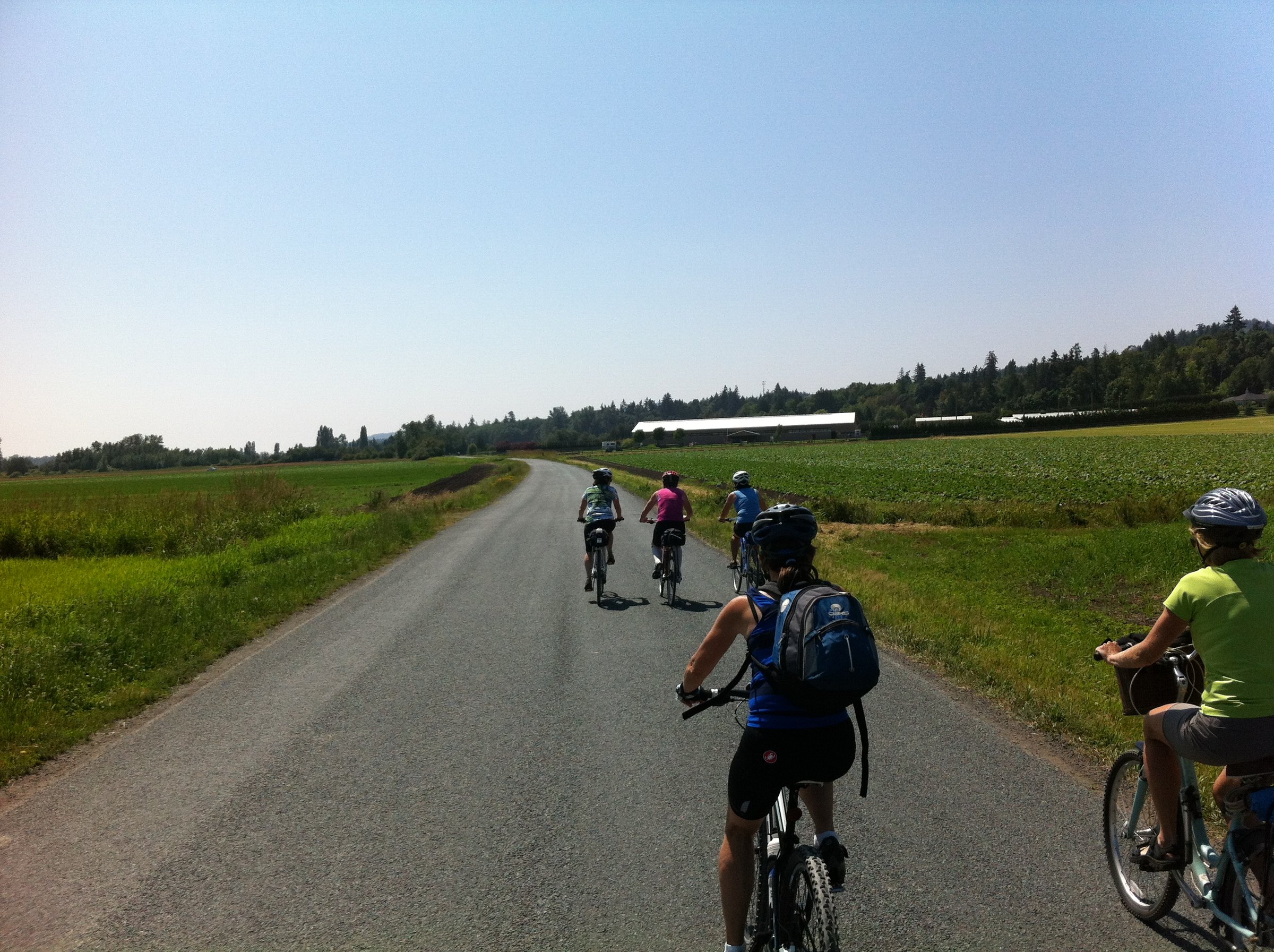
The Queensborough loop stays flat and quiet along the Fraser's channels between New Westminster and Richmond, 27 km of waterfront path and parkland stitched together by a small ferry crossing. A calm ride through a corner of the river most people only drive over.
Stops, map + getting there →
Photo: Daniel MosquinAgassiz, BC
Ridge Meadows Circle
29 km · 33 m up
EasyComfortable for mostMostly gravelGentle grades

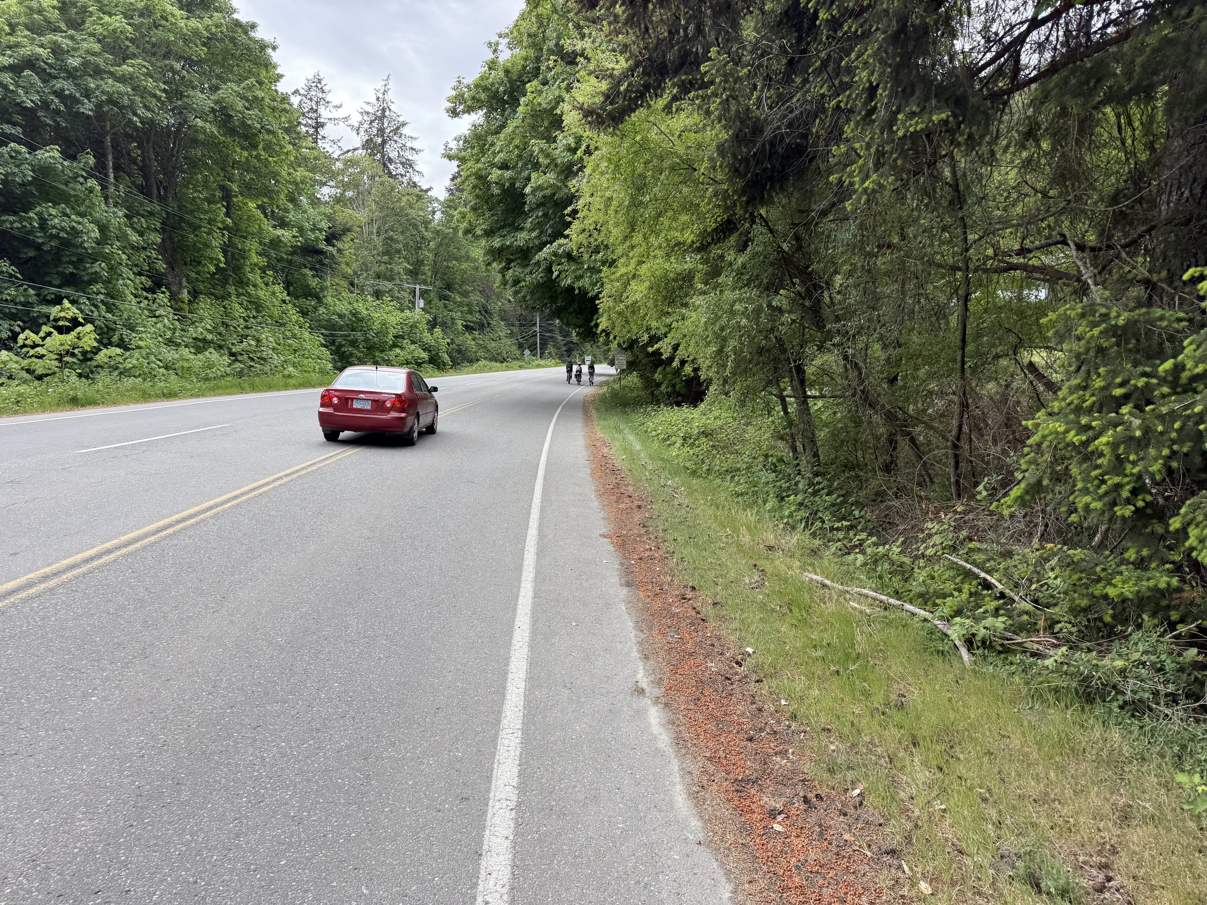
The Ridge Meadows Circle loops 30 km through quiet farmland and riverside parkland on dykes and former rail corridors between Pitt Meadows and Maple Ridge. Nearly all gravel but essentially flat, with mountain views over the fields and some of the region's most reliable birdwatching.
Stops, map + getting there →
Photo: The Number CreativeRichmond, BC
Ridgeway Loop
24 km
ModerateComfortable for mostMostly paved

The Ridgeway Loop covers 24 km of Vancouver's quiet cross-town bikeways and parks, collecting public art installations as it goes. Nearly flat and nearly all paved, an easy way to see neighbourhoods the seawall crowds never reach.

Stops, map + getting there →
Photo: Abby CooperCache Creek, BC
Roller Coaster
47 km · 229 m up
EasyRide with trafficMixed surfaceGentle grades

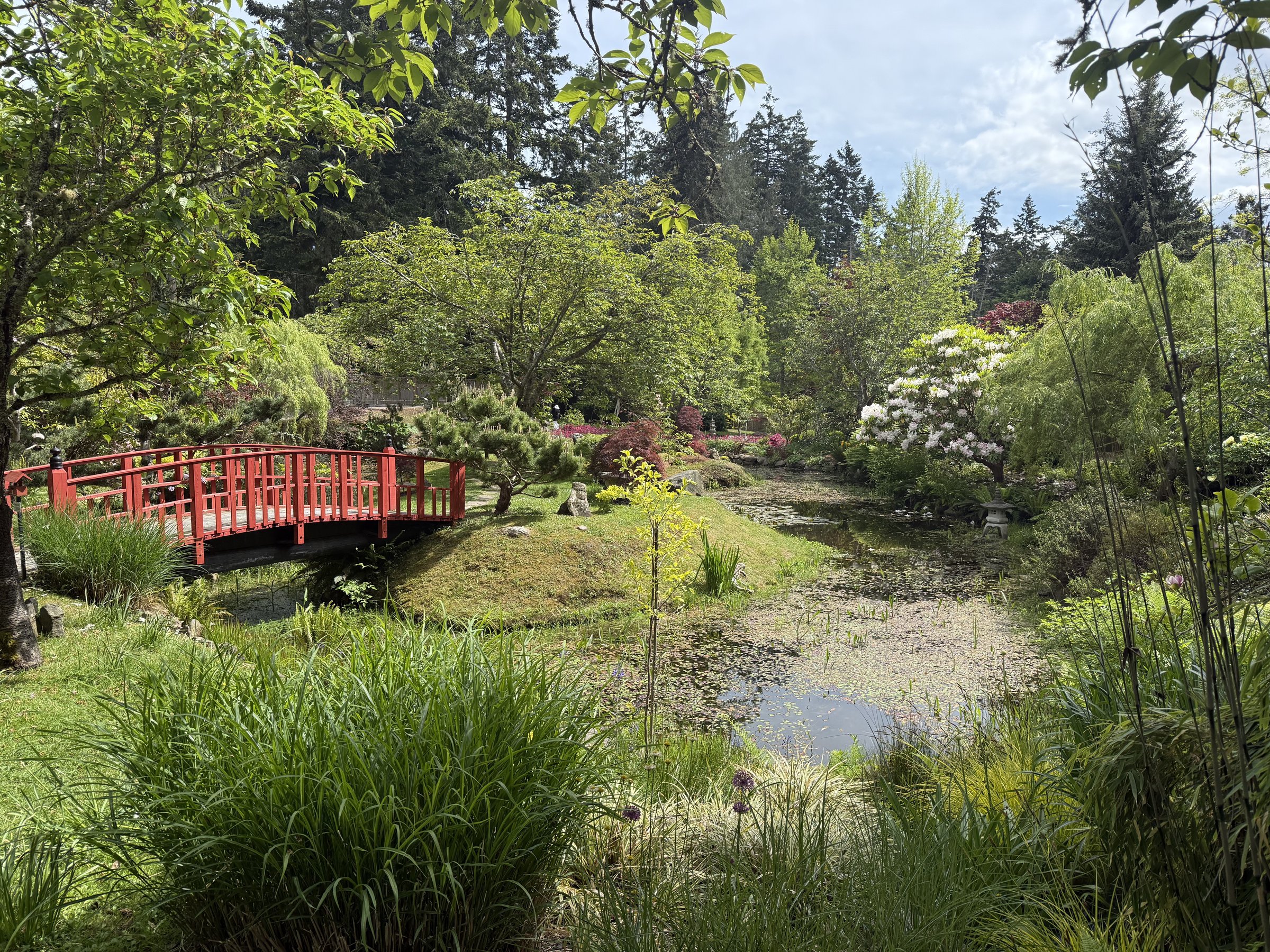
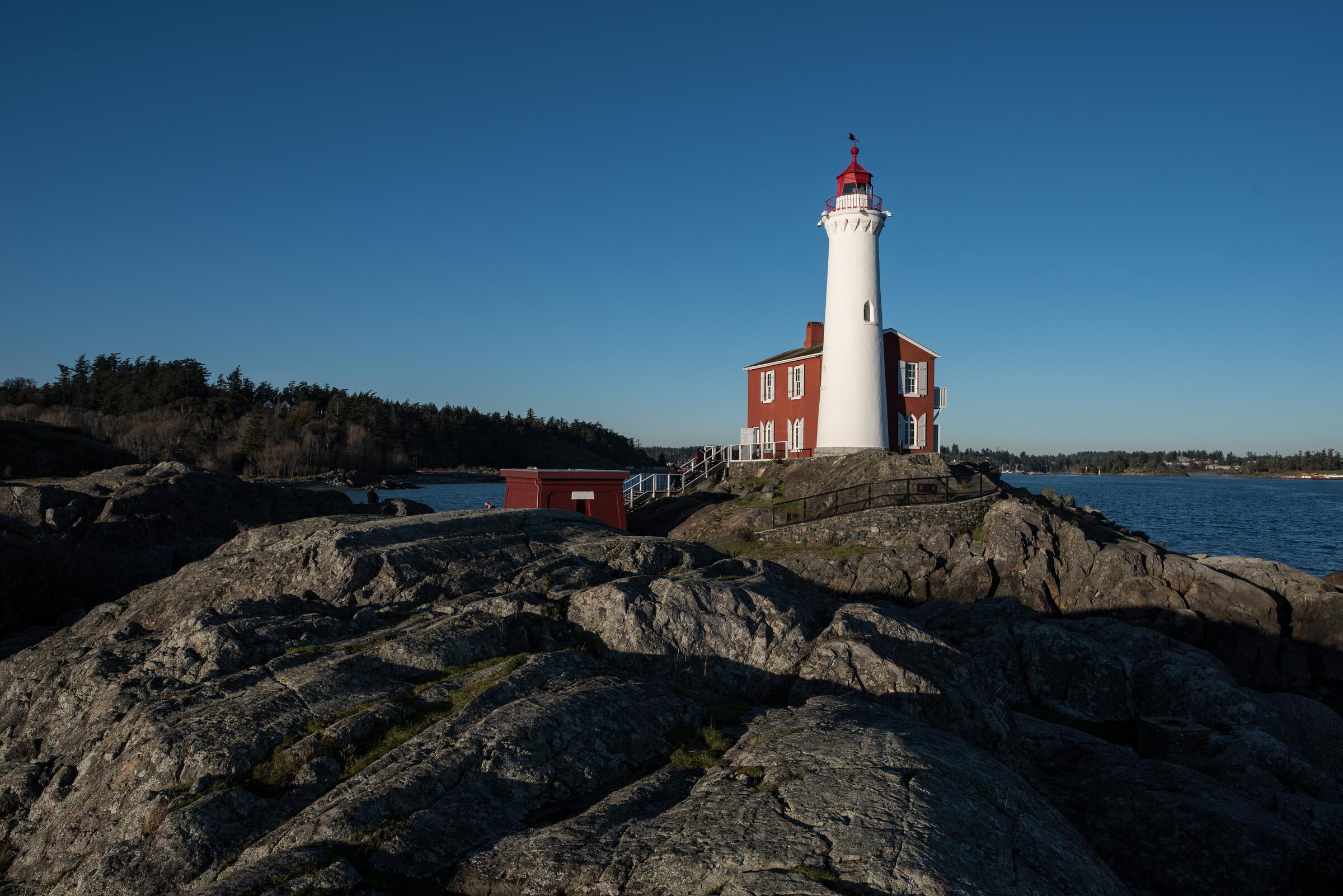
The Roller Coaster lives up to its name: a 40 km loop through quiet Abbotsford farmland that rises and dips continually as it weaves on and off a former rail corridor. None of the hills are long, but they keep coming. Big valley views and barns for scenery, with some shared-road stretches.
Stops, map + getting there →
Photo: Andrew StrainGibsons, BC
Sea Island Exploring
9 km · 10 m up
EasyComfortable for mostMixed surfaceGentle grades

Sea Island Exploring loops 10 to 15 km around the island best known for the airport, finding riverside dirt paths and quiet corners most travellers never see, with planes overhead and the Fraser alongside. Flat, with some rougher trail sections that keep it interesting.

Stops, map + getting there →
Photo: Tyler GarnhamDelta, BC
Semiahmoo Trail
4 km · 53 m up
AmbitiousMostly gravelLots of climbing

The Semiahmoo Trail runs flat and quiet through Surrey forest for 5 km one way, 10 return, following a corridor whose history as a travel route long predates the city around it. Shaded, gentle, and family-friendly.

Stops, map + getting there →
Photo: VancityWildAbbotsford, BC
South Langley Trail
21 km · 211 m up
AmbitiousComfortable for mostMostly gravelSome climbing

The South Langley Trail runs 25 km one way near Aldergrove through quiet forest, farmland, and winery country, rideable as a 50 km out-and-back, a 40 km trail-and-road loop, or a two-car shuttle. Gentle grades on a mix of gravel and pavement, with tasting rooms as optional waypoints.

Stops, map + getting there →
Photo: VancityWildNorth Vancouver, BC
South Surrey Trails
25 km · 315 m up
AmbitiousComfortable for mostMostly gravelLots of climbing

The South Surrey Trails loop 21 km through the area's quiet green spaces, linking waterfront, riverside, and forest parkland with historic stops and reliable birdwatching along the way. Mostly gravel, gently rolling, and calm from start to finish.

Stops, map + getting there →
Photo: Hubert KangVancouver, Coast and Mountains, BC
Southlands
14 km
ModerateComfortable for mostMixed surface

A quiet 12 km loop through Southlands, the pocket of horse paddocks and country lanes near Musqueam territory where Vancouver forgets to be a city. Forest and riverside paths, gravel in stretches, and horses likely to outnumber cars.

Stops, map + getting there →
Photo: Alex StrohlVancouver, BC
Stanley Park Seawall
10 km
EasyMostly paved

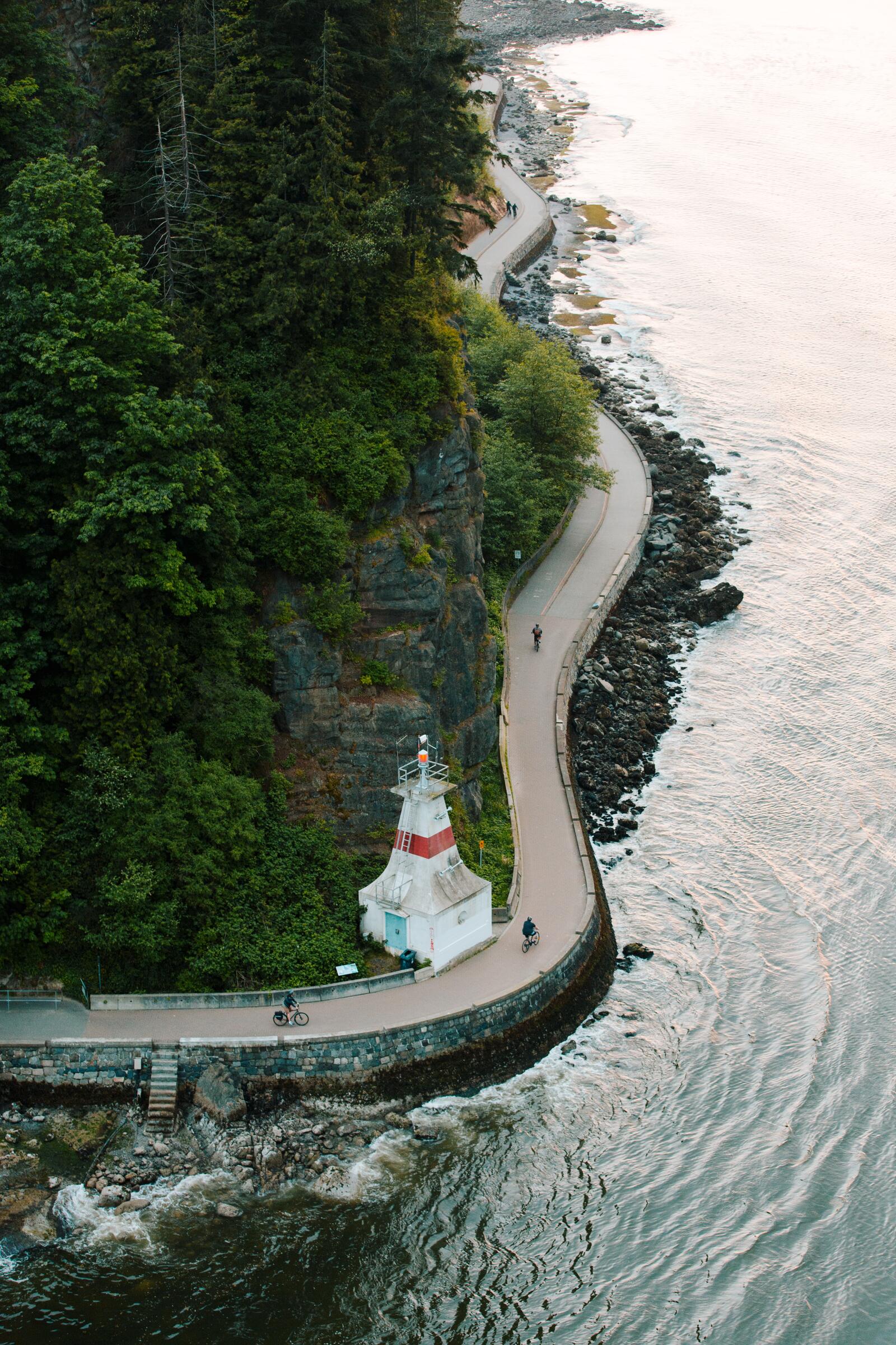
The seawall around Stanley Park may be Canada's most famous bike ride: 10 to 12 km one-way around the park, ocean and mountains on one side, old forest and gardens on the other, with public art and viewpoints the whole way. Flat, paved, and busy; go early for the quiet version.

Stops, map + getting there →
Photo: Bill Reid GalleryNorth Vancouver, BC
Stoney Creek & Brunette River
14 km · 278 m up
AmbitiousComfortable for mostMostly gravelLots of climbing

This point-to-point route follows Stoney Creek and the Brunette River for 13 km one way between Burnaby and Coquitlam, threading forest along streams where salmon still spawn each fall. SkyTrain at both ends makes it a natural one-way ride, and the gentle grades suit families.

Stops, map + getting there →
Photo: The Fraser Valley GroupAbbotsford, BC
Sumas Dyke Trails
13 km · 14 m up
ModerateComfortable for mostAlmost all gravelChunky gravelGentle grades

The Sumas Dyke Trails run flat through quiet farmland near Abbotsford, 13 km one way and 26 return on gravel dykes and a former rail corridor. This valley floor was Sumas Lake until it was drained in the 1920s, a history worth knowing as you ride, with mountain views in every direction. Surfaces run chunky in stretches.

Stops, map + getting there →
Photo: Yvonna ChowRoberts Creek, BC
Surrey Shores
12 km · 74 m up
ModerateComfortable for mostMostly gravelSome climbing

Surrey Shores links Crescent Beach, Elgin Park's heritage forest, and the Serpentine Fen wildlife area into an outing of anywhere from 4 to 30 km along waterfront, riverside, and parkland. Flat, mostly gravel, and one of the south Fraser's best birding rides; the fen's viewing towers are worth the stop.

Stops, map + getting there →
Photo: Kazutoshi YoshimuraVancouver, BC
Three Bridges - Big Loop 51.6km
52 km
AmbitiousComfortable for mostMixed surface

The Three Bridges big loop makes a 50 km circuit of the rivers, crossing between Port Coquitlam, Surrey, and Pitt Meadows on its namesake bridges and linking riverside rail-trails and parkland between them. Flat almost throughout; the distance is the whole challenge, and the river views keep it honest company.

Stops, map + getting there →
Photo: Local WandererVancouver, Coast and Mountains, BC
Three Bridges via North Route 44.5km
45 km
EasyComfortable for mostMixed surface

The northern variation of the Three Bridges loop covers 45 km of riverside paths and quiet roads through Coquitlam and the Pitt Meadows flats, flat throughout on a mix of gravel and pavement. A slightly shorter sibling of the 50 km big loop, with the same bridges and the same river company.

Stops, map + getting there →
Photo: Viranlly Liemena viranllyCoquitlam, BC
Town Center & Coquitlam River
10 km · 85 m up
ModerateComfortable for mostMostly gravelSome climbing

A 9 km out-and-back linking Coquitlam's town centre to the Coquitlam River, through parks and forest path that turn golden in fall. Flat, family-friendly, and SkyTrain-accessible, an easy after-school or Sunday-morning ride.

Stops, map + getting there →
Photo: Andrew StrainVancouver, Coast and Mountains, BC
UBC Explorer
9 km
ModerateComfortable for mostMostly paved

The UBC Explorer loops 9 to 15 km around the university peninsula, linking the Museum of Anthropology, the botanical and rose gardens, and an open-air gallery's worth of public art. Gentle paved riding with ocean glimpses at the edges and student-priced food everywhere.

Stops, map + getting there →
Vancouver, BC
Vancouver City Circle
20 km
ModerateComfortable for mostMostly paved

The City Circle loops 20 km through Vancouver's seaside paths, waterfront, and historic core, collecting public art and viewpoints as it goes. Flat and paved throughout, and in cherry blossom season the neighbourhood streets steal the show.

Stops, map + getting there →
Photo: Andrew StrainVancouver, Coast and Mountains, BC
Seaside Beaches
18 km
EasyComfortable for mostMixed surface

Vancouver's beachfront path runs flat along the shore for 9 km one way, 18 return, hopping beach to beach with public art, sunset views, and swimming stops built in. Family-friendly the whole way, and busiest on exactly the days you most want to be there.

Stops, map + getting there →
Photo: Hubert KangVancouver, BC
Arbutus Greenway
17 km
EasyComfortable for mostMostly paved

The Arbutus Greenway follows a former rail line through Vancouver's west side, 8.5 km one way and 17 back, flat and paved the whole length. Community gardens, coffee stops, and neighbourhood cross-streets make it as much a stroll as a ride, well suited to families and new riders.

Stops, map + getting there →
Photo: The Number CreativeRichmond, BC
Vancouver to Steveston
44 km
AmbitiousComfortable for mostMixed surface

This out-and-back links Vancouver to Steveston along a former rail corridor and the Fraser River, 22 km each way, passing historic sites and open river views before arriving at the village's working fishing harbour. Flat the whole way; the 44 km round trip is the only difficulty.

Stops, map + getting there →
Photo: The Number CreativeRichmond, BC
BC Parkway
36 km
ModerateComfortable for mostMostly paved

The BC Parkway follows the SkyTrain corridor for 18 km from Vancouver through Burnaby to New Westminster, flat and lined with pocket parks. With stations along the whole length, you can ride as far as you like and take the train back, one of the easiest one-way rides in the city.

Stops, map + getting there →
Photo: Hubert KangNorth Vancouver, BC
Burnaby Scenic & Adanac Bikeway
35 km
AmbitiousComfortable for mostMixed surface

This 35 km loop through Vancouver and Burnaby pairs waterfront stretches and viewpoints with the Adanac bikeway's cross-town run, collecting public art and historic stops as it goes. Mostly gentle, with just enough hill to open up the views.

Stops, map + getting there →
Photo: Alex StrohlVancouver, BC
Seaside Greenway
24 km
ModerateComfortable for mostMostly paved

The Seaside Greenway loops 24 km along Vancouver's waterfront, linking beaches, parks, and public art, with a tiny False Creek ferry stitching the shores together. Flat, family-friendly, and arguably the city's signature ride.

Stops, map + getting there →
Photo: VancityWildRichmond, BC
False Creek & Granville Island
10 km
Easy

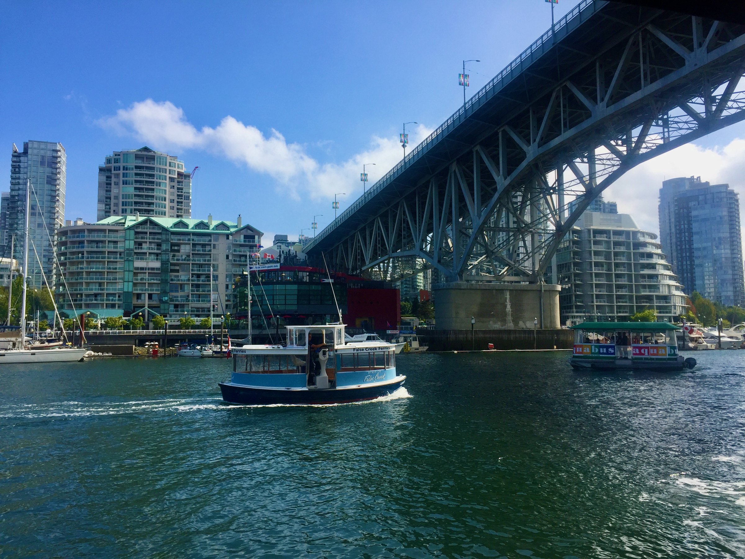
The classic Vancouver starter ride: a flat 10 km loop around False Creek past Granville Island, science domes, marinas, and a parade of public art, with the option to shortcut across the water on the tiny False Creek ferries. Busy on sunny weekends, and lovely anyway.

Stops, map + getting there →
Photo: Viranlly LiemenaRichmond, BC
Crosstown & Queens Park
16 km
EasyComfortable for mostMostly paved

Crosstown and Queens Park wanders New Westminster's historic streets and parkland for 3 to 16 km, quiet and family-friendly, past heritage homes and the grand trees of Queens Park. Lovely any time, best in fall colour.

Stops, map + getting there →
North Vancouver, BC
Seymour Valley
29 km
AmbitiousComfortable for mostMixed surfaceChunky gravel

The Seymour Valley out-and-back runs 24 to 29 km through North Vancouver's deep forest, from the smooth, car-free paved parkway to rougher trail options near the lake and river. The easy line suits families; the trail sections turn rocky enough to want fatter tires. Views open up the valley as you go.

Stops, map + getting there →
Photo: The Number CreativeRichmond, BC
Mosquito Creek
8 km
EasyCalm streets, some sharingMostly paved

Mosquito Creek's out-and-back covers 2.5 to 8 km along a former rail line and creekside trail in North Vancouver, shady, family-friendly, and easy to fit into an afternoon.

Stops, map + getting there →
Photo: Andrew BeaumontHarrison Hot Springs, BC
Shoreline Trail
9 km
EasyComfortable for mostMostly paved

Port Moody's Shoreline Trail curves around the head of Burrard Inlet for 6 to 9 km of flat, family-friendly waterfront path, past mudflats busy with herons and parkland with plenty of stops. SkyTrain access makes it an easy car-free outing, and the brewery row nearby is no secret.

Stops, map + getting there →
Photo: Daniel MosquinAgassiz, BC
Colony Farm
16 km
EasyComfortable for mostMixed surface

Colony Farm Regional Park spreads flat over old farmland along the Coquitlam River, with 10 km of riding (16 return) between Port Coquitlam and Coquitlam. Community gardens, open meadows, and some of the region's best accessible birdwatching make it a favourite slow ride for families.

Stops, map + getting there →
Photo: Kindred ScoutNorth Vancouver, BC
Around Richmond
38 km
ModerateCalm streets, some sharingMostly paved

Around Richmond loops the island city for 38 km on former rail corridors and dykes, flat the entire way, tracing the Fraser River and the sea. Historic sites dot the route, and the bird life along the estuary is world-class. A satisfying half-day with no hill in sight.

Stops, map + getting there →
Photo: Andrew BeaumontFort Langley, BC
Railway Greenway
23 km
EasyComfortable for mostMostly paved

The Railway Greenway follows a flat former rail line, interurban tram cars once ran here, from central Richmond down to Steveston, 6 to 23 km depending on your turnaround. Historic sites along the way, and Steveston's fishing-village harbour front makes the perfect destination.

Stops, map + getting there →
Photo: Reuben KrabbePemberton, BC
West Dyke & Middle Arm
22 km
EasyCalm streets, some sharingMixed surface

The West Dyke and Middle Arm trails run flat along Richmond's western edge for 11 km one way, 22 return, with the Sturgeon Bank marshes and their birdlife on one side and mountain views across the strait on the other. Easy family riding that can link to Steveston at the south end.

Stops, map + getting there →
Photo: Maurice LiVancouver, BC
Steveston South Dyke Trail
20 km
EasyComfortable for mostMostly paved

The Steveston South Dyke Trail runs flat along the Fraser's south arm for 10 km one way, 20 return, past historic sites and public art, finishing in Steveston village with its museums, cannery history, and fish and chips off the boats.

Stops, map + getting there →
Photo: Grant HarderVancouver, BC
Bike the Bridge
20 km
AmbitiousComfortable for mostMostly paved

Bike the Bridge loops 20 km between Vancouver and the North Shore along seaside paths and waterfront, crossing the inlet by bridge one way and returning by SeaBus. Flat, scenic, and family-friendly, with the harbour views doing most of the entertaining.

Stops, map + getting there →
North Vancouver, BC
Friesens Ride
24 km
ModerateCalm streets, some sharingMostly paved

Friesens Ride loops 24 km through the quiet waterfront and seaside parkland of White Rock and South Surrey, all paved with barely a hill, collecting ocean views along the way.

Stops, map + getting there →
Photo: Kindred ScoutNorth Vancouver, BC
Portside
20 km
EasyComfortable for mostMostly paved

Portside follows Vancouver's waterfront for 10 km one way and 20 return, past gardens, pocket parks, and the working harbour's cranes and ships. Flat and family-friendly, with plenty of reasons to stop and watch the water.

Stops, map + getting there →
Photo: Kindred ScoutNorth Vancouver, BC
The Drive
16 km
Moderate

The Drive loops 9 to 16 km through East Vancouver's most storied neighbourhoods, past Commercial Drive's cafes, breweries, murals, and historic streets. City riding with personality, and more snack stops per kilometre than any route deserves.

Stops, map + getting there →
Photo: Viranlly Liemena viranllyChilliwack, BC
Vedder Loop
21 km · 63 m up
ModerateComfortable for mostAlmost all gravelGentle grades

The Vedder River trails offer flat riverside riding near Chilliwack, from a 7 km taster to a 20 km loop on gravel dykes, former rail corridor, and parkland. The river draws eagles, spawning salmon in season, and anglers year-round, with optional spurs onto the north dyke and creekside paths.

Stops, map + getting there →
Photo: Kari MedigRichmond, BC
West Vancouver Exploring
36 km · 665 m up
AmbitiousCalm streets, some sharingMostly pavedLots of climbing

West Van Exploring loops 30 km along West Vancouver's coastline and up into its forested hills, with about 665 m of climbing, real work by this collection's standards, rewarded with Howe Sound views, historic stops, and a ferry crossing to vary the return. Roads are shared, so ride the busier stretches with care.

Stops, map + getting there →
Photo: The Number CreativeRichmond, BC
Westham Island
9 km · 13 m up
EasyCalm streets, some sharingMostly pavedGentle grades

Westham Island, reached over a one-lane wooden swing bridge near Ladner, offers a quiet 10 to 18 km out-and-back through berry farms and a small winery, ending near the George C. Reifel Migratory Bird Sanctuary, one of Canada's top birding sites. Flat, calm, and best in migration season.

Stops, map + getting there →
Photo: Indigenous Tourism BCAgassiz, BC
White Rock + South Surrey Big Loop
32 km
AmbitiousComfortable for mostMixed surface

The White Rock and South Surrey big loop covers 32 km linking the beachfront promenade below the pier with forest parkland and quiet river valleys inland. Mixed gravel and pavement with a few honest climbs away from the water, and historic stops along the way.

Stops, map + getting there →

Vancouver Island · 49

Photo: Cowichan River LodgeLake Cowichan, BC
Pacific Spirit Loop
235 km
AmbitiousRide with trafficMixed surfaceRemote stretches

The big South Island circuit: 235 km linking the Galloping Goose, the wild coast road to Port Renfrew, the interior crossing to Lake Cowichan, and rail trail home past Shawnigan Lake. Forested climbs, ocean views, and long remote stretches on the west side; each leg has its own character, so riders build the trip to their taste over several days.

Stops, map + getting there →
Photo: Taylor Cave ProductionsNanaimo, BC
Salish Sea Trail
175 km
ModerateCalm streets, some sharingMixed surface

The Salish Sea Trail links the South Island's best rail trails, the Lochside, the Galloping Goose, and the Cowichan Valley Trail, into one big 175 km loop with a Salt Spring Island ferry hop in the middle. Most of it is calm rail-trail riding through forest and farmland; the road stretches through wine country roll and climb a bit more. Ride a 15 km piece, or take a few days and go all the way around.

Stops, map + getting there →
Photo: Reuben KrabbeSalt Spring Island, BC
Salt Spring Island
50 km
AmbitiousCalm streets, some sharingMostly paved

Salt Spring is the biggest and busiest of the Gulf Islands, and its loops of 6 to 50 km roll through hilly farmland past lakes, parks, and small museums, with Ganges' famous Saturday market, farm-gate cheese, and cider stops setting the agenda. The hills are constant and occasionally steep; the food justifies every one of them.

Stops, map + getting there →
Photo: Reuben KrabbePender Island, BC
Pender Islands
25 km
ModerateRide with trafficMostly paved

Reached by ferry, the Pender Islands offer 6 to 25 km of winding, hilly coastal roads past vineyards, parkland, and dozens of little beach accesses. Roads are narrow and shared in the Gulf Islands way; the hills are constant and the pace unhurried by law of local custom.

Stops, map + getting there →
Photo: Daniel BaylisColwood, BC
Mayne Island
25 km
ModerateRide with trafficMostly paved

Mayne Island's loop runs 4 to 25 km of hilly, winding lanes past the Japanese memorial garden at Dinner Bay, the historic Active Pass lighthouse grounds, and a small brewery for the finish. Roads are narrow and shared, hills frequent, and the Gulf Islands pace infectious.

Stops, map + getting there →
Photo: Taylor Cave ProductionsNanaimo, BC
Saturna Island
50 km
AmbitiousCalm streets, some sharingMixed surface

Saturna is the quietest of the ferry-served Gulf Islands, half of it national park reserve, and its hilly lanes make an 11.5 to 50 km out-and-back ending at East Point, where orcas pass close to the sandstone bluffs. Almost no services and almost no cars; bring supplies and settle into island time.

Stops, map + getting there →
Photo: Ben GiesbrechtGaliano Island, BC
Galiano Island
42 km
AmbitiousRide with trafficMostly paved

On Galiano Island, a ferry-hop from Swartz Bay or Tsawwassen, rides of 5 to 42 km climb through forest and quiet parkland to coastal viewpoints over the Salish Sea, with Montague Harbour the classic destination. The island is genuinely steep in places, and the narrow roads are shared, so take the hills as a feature and the pace as given.

Stops, map + getting there →
Photo: Jordan DyckVancouver Island, BC
Thetis Island
30 km
ModerateComfortable for mostMostly paved

Little Thetis Island, a short ferry from Chemainus, offers 1 to 30 km of quiet shoreline roads with rolling hills and almost no traffic. No village to speak of, just coves, farms, and the kind of stillness only small islands manage. Time your ride to the ferry and let the day be simple.

Stops, map + getting there →
Photo: Landon CopplestoneLake Cowichan, BC
Cowichan Valley Trail
88 km
ModerateCalm streets, some sharingMixed surface

The Cowichan Valley Trail follows historic rail grade through forest and along the Cowichan River, with access points serving everything from 6 km family outings to the 28 km Duncan-to-Lake-Cowichan run, or an 88 km loop that adds road riding to Shawnigan Lake, crossing the great Kinsol Trestle country en route. Flat, shaded, and transit-reachable, it is the valley's backbone ride.

Stops, map + getting there →
Photo: Jordan DyckCobble Hill, BC
Shawnigan Lake & Cobble Hill
80 km
EasyRide with trafficMostly paved

Around Shawnigan Lake and Cobble Hill, loops of 12 to 80 km roll through the Cowichan's wine country: the signed 35 km Wine Route, the lake circuit past historic Shawnigan village, and connections toward Mill Bay's ferry. Vineyards, cideries, and farm stands supply the stops; the roads are shared and gently rolling.

Stops, map + getting there →
Photo: Jarrett LindalCumberland, BC
Galloping Goose
55 km
ModerateComfortable for mostMixed surface

The Galloping Goose is one of BC's best-known rail trails, running 55 km from downtown Victoria out through Langford's lakes and forest to Sooke, with the Matheson Lake stretch a favourite finale. Flat, family-friendly, and paved near the city before turning to gravel, it carries commuters, tourers, and first-timers alike. Access points and transit connections along the whole length make any distance possible.

Stops, map + getting there →
Photo: Mio MonascheDuncan, BC
Duncan
20 km
EasyCalm streets, some sharingMostly paved

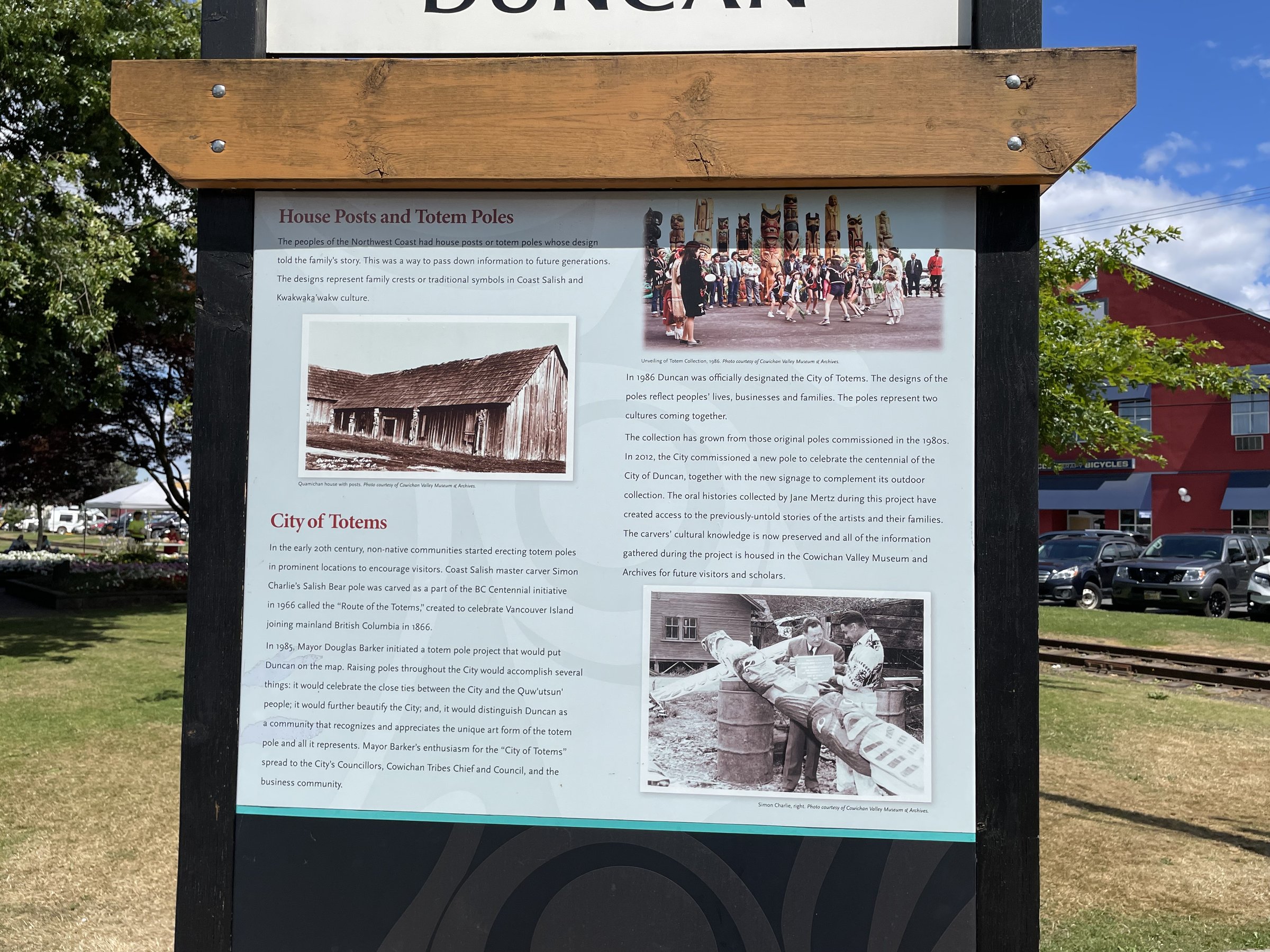
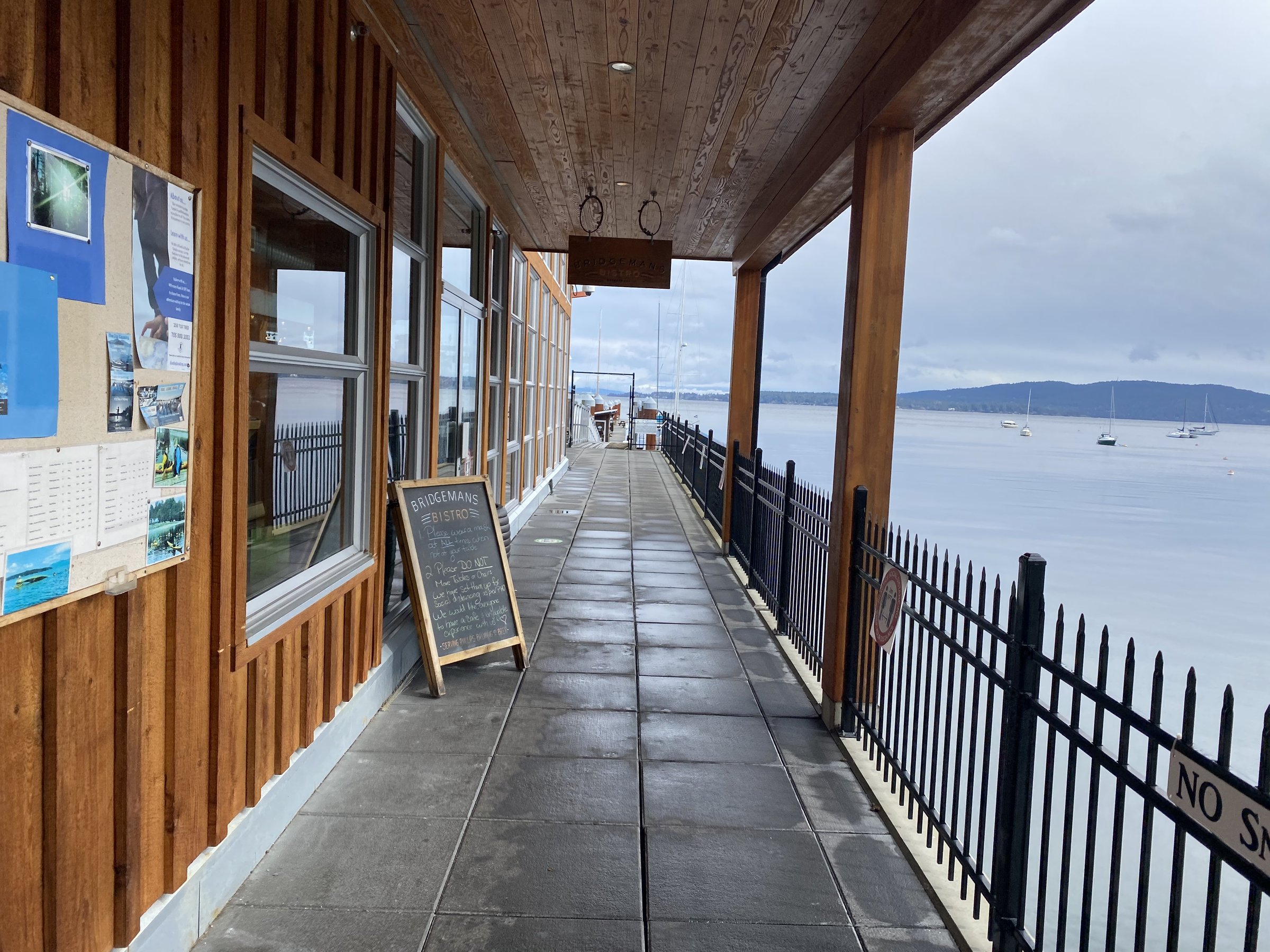
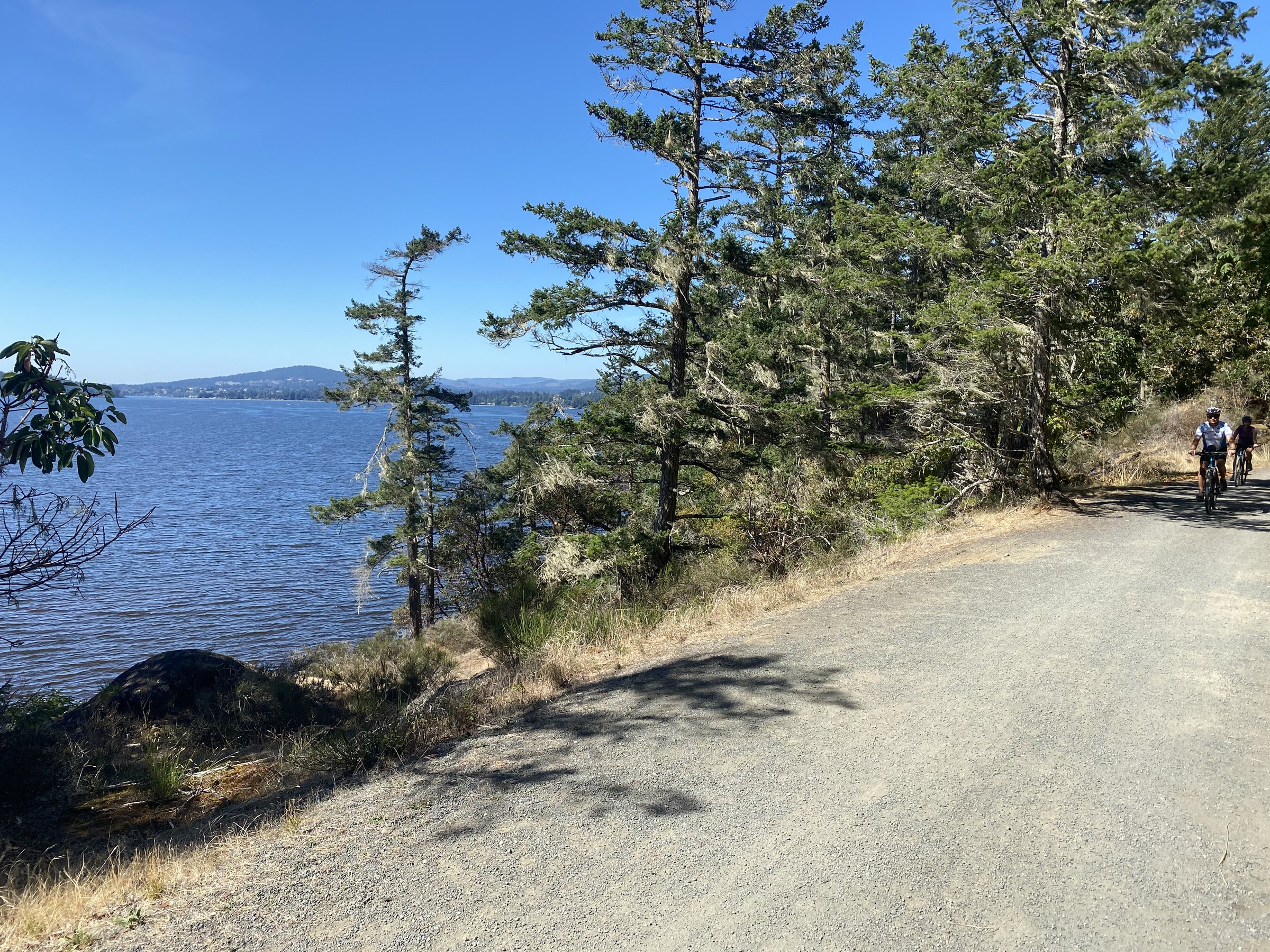
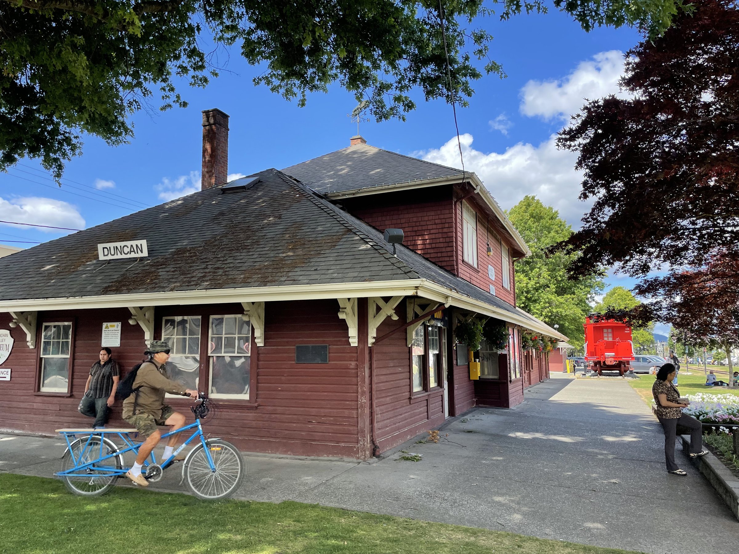
Around Duncan, the City of Totems, short loops of 2 to 20 km link rail trail, dyke paths, parkland, and pockets of singletrack, with the town's famous totem collection and public art never far away. Quiet, flat, and family-friendly, with good birdwatching along the river dykes.

Stops, map + getting there →
Photo: Peter O HaraCowichan Bay, BC
North Cowichan
27 km
EasyRide with trafficMostly paved

North Cowichan's loops run 3 to 27 km through farmland and along the sea, taking in Maple Bay, Genoa Bay's floating village, Quamichan Lake, and historic Cowichan Bay with its heritage waterfront and bakeries. Breweries and a ferry-hop option round it out; some hills and shared roads keep it honest.

Stops, map + getting there →
Photo: Rob WilsonLadysmith, BC
Chemainus Rail Trail
19 km
EasyCalm streets, some sharingMixed surface

The Chemainus Rail Trail corridor links Ladysmith, Chemainus, and Crofton in flat, family-friendly rides of 7 to 19 km. Chemainus's world-famous outdoor murals are the star attraction, with museums, public art, and Transfer Beach along the way, and the Crofton ferry connects onward to Salt Spring Island.

Stops, map + getting there →
Photo: Taylor Cave ProductionsNanaimo, BC
Nanaimo South
32 km
EasyRide with trafficMostly paved

South of Nanaimo, loops of 6 to 32 km explore the old coal country: the Morden Colliery rail trail and its historic tipple, Nanaimo River parkland, Hemer Park's lakeside trails, and the Yellow Point farm lanes. Quiet riding with history underfoot, and some shared-road stretches between segments.

Stops, map + getting there →
Photo: Taylor Cave ProductionsNanaimo, BC
Nanaimo
30 km
EasyComfortable for mostMostly paved

Nanaimo's rides run 3 to 30 km through town: the harbourfront walkway, the E&N rail trail, Westwood Lake's swimming loop, and best of all a foot-ferry hop to Saysutshun (Newcastle Island), a car-free provincial park with 9 km of shoreline trail. Flat, family-friendly, and transit-connected throughout.

Stops, map + getting there →
Photo: Taylor Cave ProductionsNanaimo, BC
Gabriola Island
45 km
EasyCalm streets, some sharingMixed surface

Twenty ferry minutes from Nanaimo, Gabriola calls itself the Isle of the Arts, and its loops of 3.5 to 45 km ride past studios and public art, through forest, and along sandstone shorelines including the famous Malaspina Galleries. Quiet roads with honest hills, and singletrack connectors for variety.

Stops, map + getting there →
Photo: Taylor Cave ProductionsNanaimo, BC
Nanaimo North
60 km
ModerateCalm streets, some sharingMostly paved

North of Nanaimo, flat and family-friendly rides of 3.5 to 60 km follow the Parkway Trail and E&N rail trail up through seaside parkland to Lantzville. Transit access along the corridor makes one-way rides easy, and singletrack parks sit just off the line for anyone wanting more.

Stops, map + getting there →
Photo: Jordan DyckParksville, BC
Nanoose Bay - Parksville
40 km
ModerateRide with trafficMostly paved

Between Nanoose Bay and Parksville, loops of 3.5 to 40 km wander forest, farmland, and the peninsula's seaside viewpoints, from the Fairwinds loop to the Errington back roads. Hillier than the coastal flats nearby, with singletrack options and quiet lanes, though highway-adjacent sections carry traffic.

Stops, map + getting there →
Photo: Yvonna ChowParksville, BC
Parksville - Qualicum Beach
32 km
EasyCalm streets, some sharingMostly paved

Linking Parksville and Qualicum Beach, flat, family-friendly loops of 4 to 32 km follow rail trail and waterfront paths past farms and historic sites, between two of the island's favourite beach towns. The sands at low tide stretch forever, and the coffee stops come frequently.

Stops, map + getting there →
Photo: The Number CreativeParksville, BC
Rathtrevor Park - Top Bridge Trail
30 km
ModerateRide with trafficMixed surface

Loops of 5 to 30 km link Rathtrevor Beach's forest paths, the Top Bridge Trail with its river-canyon suspension bridge and swimming rocks, and the Englishman River parkland into Parksville. Family-friendly at the beach end, more singletrack-flavoured along the river, with some shared-road connections.

Stops, map + getting there →
Photo: Reuben KrabbeSidney, BC
Lochside Trail
29 km
EasyComfortable for mostMostly paved

The Lochside Trail runs 29 km between the Swartz Bay ferry terminal and downtown Victoria, flat rail-trail riding through Central Saanich farmland, along seaside stretches, and past some of the region's best birding flats. The natural first ride for anyone arriving by ferry with a bike, and a lovely day out for locals, with Sidney's bookshops a short spur away.

Stops, map + getting there →
Photo: Jordan DyckTofino, BC
Qualicum River Trails
32 km
AmbitiousCalm streets, some sharingMixed surfaceChunky gravel

The Qualicum River trails offer out-and-back rides of 6 to 32 km through quiet forest along salmon-bearing water, with side trips to Spider Lake's warm swimming and the double cascades at Little Qualicum Falls. Surfaces run from smooth to genuinely rough, so the longer options suit wider tires.

Stops, map + getting there →
Photo: Pete O HaraPort Alberni, BC
Port Alberni
20 km
AmbitiousCalm streets, some sharingMixed surfaceChunky gravel

In Port Alberni, loops of 3.5 to 20 km mix the harbour quay's working waterfront, the Log Train rail trail's southern reaches, and creekside paths, with historic industrial sites along the way. Family-friendly at the water, rougher and hillier on the trail sections.

Stops, map + getting there →
Photo: Pete O HaraPort Alberni, BC
Log Train Trail - Sproat Lake
42 km
AmbitiousCalm streets, some sharingMixed surface

Port Alberni's Log Train Trail follows a historic logging railway for up to 21 km one way through forest and farm edges, with connectors linking the Kitsuksis Dyke and the warm waters of Sproat Lake. Options run 3.5 to 42 km, family-friendly on the rail grade, rougher and hillier on the connectors.

Stops, map + getting there →
Photo: Jordan DyckTofino, BC
Tofino - Ucluelet (apsciik tasii)
50 km
EasyComfortable for mostMostly paved

ʔapsčiik t̓ašii ('going the right direction on the path' in Nuu-chah-nulth) links Tofino and Ucluelet with 25 km of paved, family-friendly trail through Pacific Rim National Park Reserve's rainforest, with beach access points to Long Beach along the way. Flat, safe, and spectacular: ride it one way with the wind or 50 km return, and let the surf schedule your stops.

Stops, map + getting there →
Photo: Peter O HaraRoyston, BC
Qualicum Bay - Royston - Denman Island
77 km
AmbitiousRide with trafficMostly paved

Between Qualicum Bay and Royston, the old Oceanside highway serves up flat, view-rich seaside touring of 9 to 77 km, with Fanny Bay's oysters en route and a ferry hop to Denman Island's quiet lanes as the detour of choice. Shared roads throughout, but the shoulder is generous and the sea does the entertaining.

Stops, map + getting there →
Photo: Steven FinesVancouver Island, BC
Hornby Island
35 km
ModerateComfortable for mostMostly paved

Hornby takes two ferries to reach, and rewards the journey: loops of 3 to 35 km link Tribune Bay's white-sand beach, the Helliwell bluffs with their spring wildflowers, and quiet forest roads and singletrack between. An island built for slow days, with bakeries and beaches setting the schedule.

Stops, map + getting there →
Photo: Jarrett LindalCumberland, BC
Courtenay Riverway - Royston Seaside Trail
15 km
EasyComfortable for mostMixed surface

Courtenay's Riverway connects to the Royston Seaside Trail for 2 to 15 km of flat, family-friendly riding along river and shoreline, with the estuary's birdlife on constant display and historic stops along the way. One of the Comox Valley's easiest and prettiest outings.

Stops, map + getting there →
Photo: Boomer JerrittComox, BC
One Spot Trail
25 km
EasyCalm streets, some sharingMixed surface

The One Spot Trail follows the grade of a one-locomotive logging railway through Courtenay-area forest, with loops of 5 to 25 km and a riverside run out to Nymph Falls, where the Puntledge River pours over wide rock shelves. Family-friendly, quiet, and threaded with optional singletrack.

Stops, map + getting there →
Photo: Peter O HaraBlack Creek, BC
Miracle Beach - Williams Beach
70 km
EasyCalm streets, some sharingMixed surface

Between Miracle Beach and Williams Beach north of Courtenay, out-and-back rides of 3 to 70 km follow quiet roads and forest trails along the shoreline, with Saratoga Beach's long sands and warm shallows the family favourite. Gentle grades, frequent wildlife, and more beach stops than progress allows.

Stops, map + getting there →
Photo: Taylor Cave ProductionsNanaimo, BC
Cumberland - West Courtenay
26 km
AmbitiousRide with trafficMixed surface

The loops between Cumberland and West Courtenay run 5 to 26 km on historic colliery rail trails and forest singletrack, past Comox Lake and salmon-bearing rivers. Cumberland's coal-mining past shows everywhere, and its present, cafes, breweries, and one of the island's great trail networks, makes the town the natural hub. Hillier than the valley floor rides nearby.

Stops, map + getting there →
Photo: Tanya GoehringVictoria, BC
Victoria
20 km
EasyComfortable for mostMostly paved

Victoria's city loops run 1.6 to 20 km through the capital's best: the Inner Harbour and Ogden Point breakwater, Beacon Hill Park and its roaming peacocks, Craigdarroch Castle's neighbourhood, and Canada's oldest Chinatown. Flat, family-friendly, transit-connected, and dense with museums, gardens, and public art.

Stops, map + getting there →
Photo: Peter O HaraRoyston, BC
Comox Valley Circle
65 km
AmbitiousRide with trafficMostly paved

The Comox Valley Circle loops 65 km through the valley's farm and cidery country, linking seaside and riverside stretches with rail-trail and parkland. Essentially flat, but its length and shared-road sections make it a full day. Farm stands and tasting rooms supply the excuses to stop.

Stops, map + getting there →
Photo: Jarrett LindalCumberland, BC
East Courtenay - Comox
36 km
EasyCalm streets, some sharingMostly paved

Loops of 5 to 36 km connect East Courtenay and Comox, from the Three Beaches loop along the shoreline to the Seal Bay forest trails and the full 36 km Red Loop. Family-friendly, nearly all paved, with waterfront parks, harbour views, and frequent wildlife.

Stops, map + getting there →
Photo: Jordan DyckCampbell River, BC
Elk Falls
100 km
ModerateCalm streets, some sharingMostly paved

The Elk Falls loops run 1.5 to 19 km through forest and along the Campbell River, with the park's dramatic canyon waterfall and suspension bridge as the centrepiece and the huge Snowden trail network next door for singletrack appetites. Riverside birdwatching, ocean viewpoints, and real hills on the longer options.

Stops, map + getting there →
Photo: Graeme OwsianskiCampbell River, BC
Frog Greenways Loop
28 km
EasyCalm streets, some sharingMostly paved

Campbell River's signed FROG Greenways Loop makes a flat, family-friendly 28 km circuit of the city's waterfront, riverside, and forested parkland, with good birdwatching and the Beaver Lodge Lands' easy singletrack as an optional add-on. Follow the frog signs and let the route do the navigating.

Stops, map + getting there →
Photo: Peter O HaraBlack Creek, BC
Quadra Island
30 km
AmbitiousCalm streets, some sharingMixed surface

A ten-minute ferry from Campbell River, Quadra Island offers loops of 3 to 30 km: Rebecca Spit's beach-lined provincial park, the Cape Mudge lighthouse loop through We Wai Kai territory, and quiet forested roads between. Steeper than it looks in places, with a winery stop and singletrack networks for the curious.

Stops, map + getting there →
Photo: Reuben KrabbeVictoria, BC
Cortes Island
50 km
ChallengingCalm streets, some sharingMixed surface

Cortes Island takes two ferries to reach, which keeps its roads wonderfully quiet. The riding runs 20 to 50 km from Whaletown to Smelt Bay Park, with side trips to Squirrel Cove and Cortes Bay, through forest and along the sea. Do not let the island size fool you: the hills come steadily and steeply. Historic stops and swimming beaches reward the effort.

Stops, map + getting there →
Photo: Lexa BergenPort McNeill, BC
Alice Lake + Holberg Loops
128 km
AmbitiousCalm streets, some sharingMostly gravelRemote stretches

The Alice Lake and Holberg loops are the North Island's long days out: 120 to 128 km of backcountry gravel through deep forest and past big lakes, quiet, remote, and rich in wildlife. Real climbing and long distances between services, so treat them as full expeditions rather than rides. Holberg's famously remote pub is en route for those who plan well.

Stops, map + getting there →
Photo: Steven FinesTelegraph Cove, BC
Port McNeill - Telegraph Cove
60 km
ModerateRide with trafficMostly paved

Between Port McNeill and Telegraph Cove, rides of 20 to 60 km follow quiet forested roads and trail to one of the coast's most charming destinations: Telegraph Cove's historic boardwalk village, the jumping-off point for Johnstone Strait's orcas. Rolling hills, light traffic, and whale-watching or kayak trips waiting at the end.

Stops, map + getting there →
Photo: Nathan MartinPort Hardy, BC
Port Hardy
26 km
EasyCalm streets, some sharingMixed surface

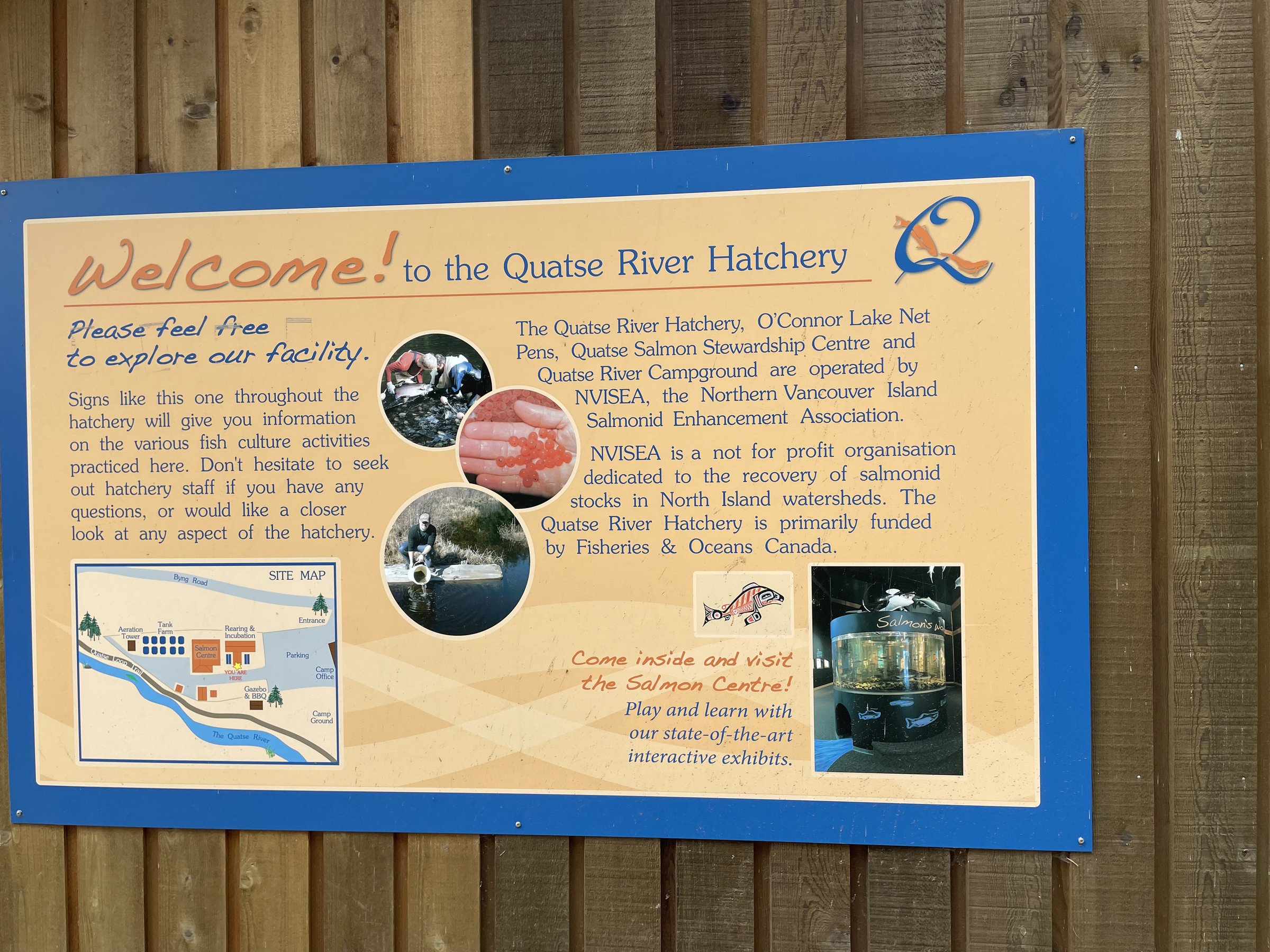
Port Hardy's rides span 3 to 26 km of quiet, forested seaside trails: the waterfront walk, Storey's Beach, the Quatse River's salmon-bearing loops, and the trail to Fort Rupert, home of the Kwakiutl First Nation. Eagles are constant company this far north, and the pace is all North Island.

Stops, map + getting there →
Photo: Lexa BergenPort McNeill, BC
Malcolm Island
90 km
AmbitiousComfortable for mostMostly gravel

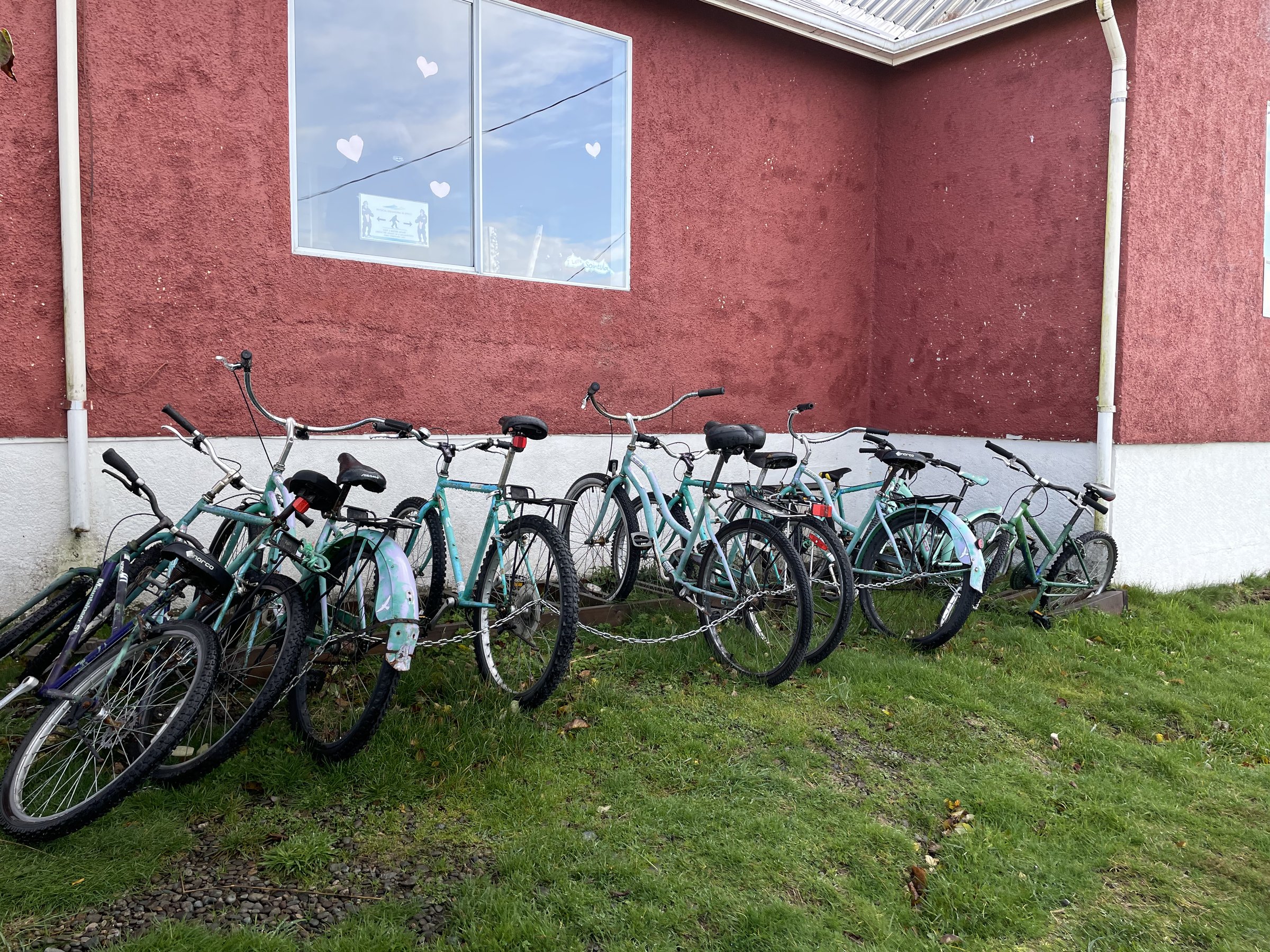
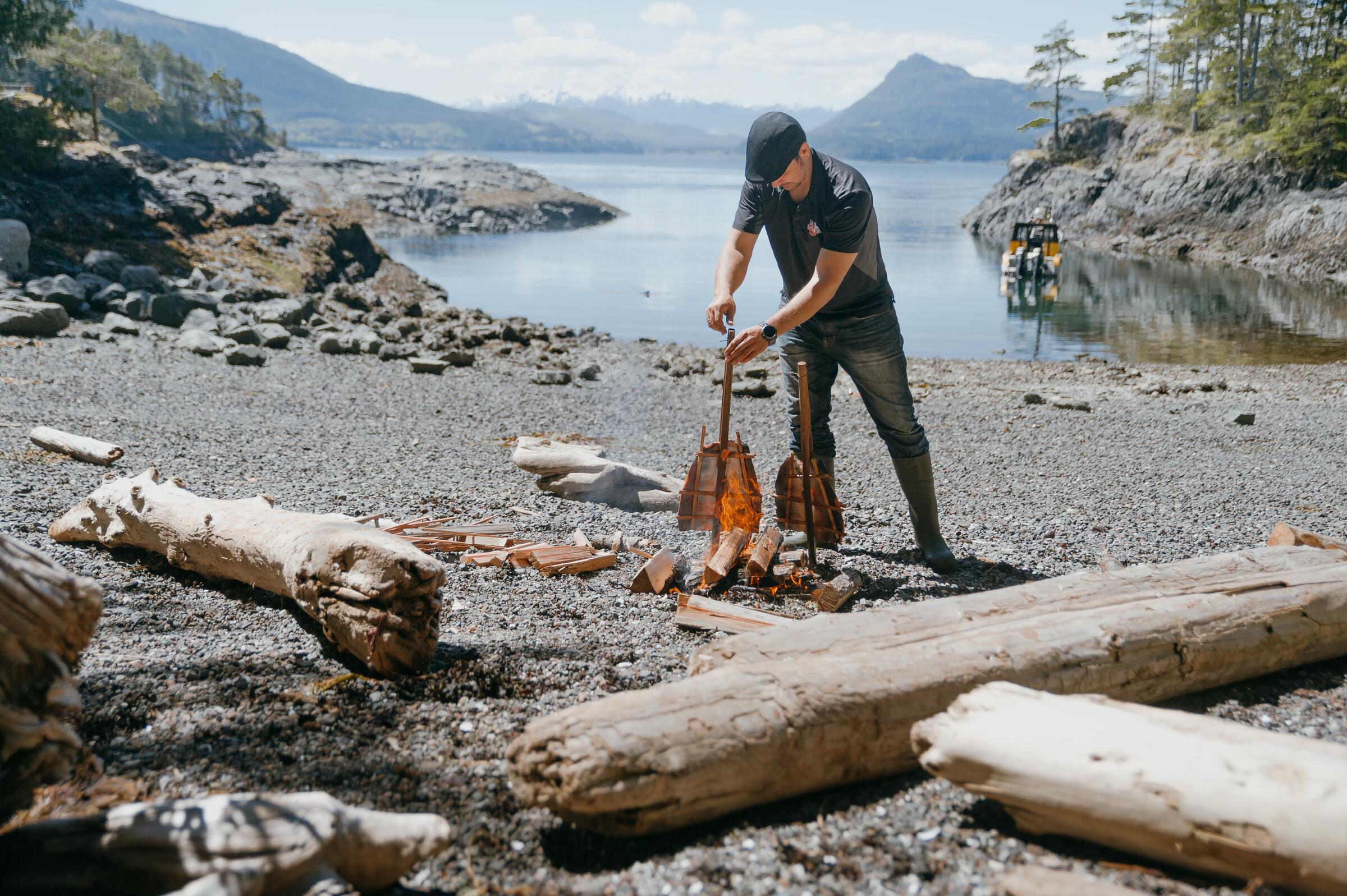
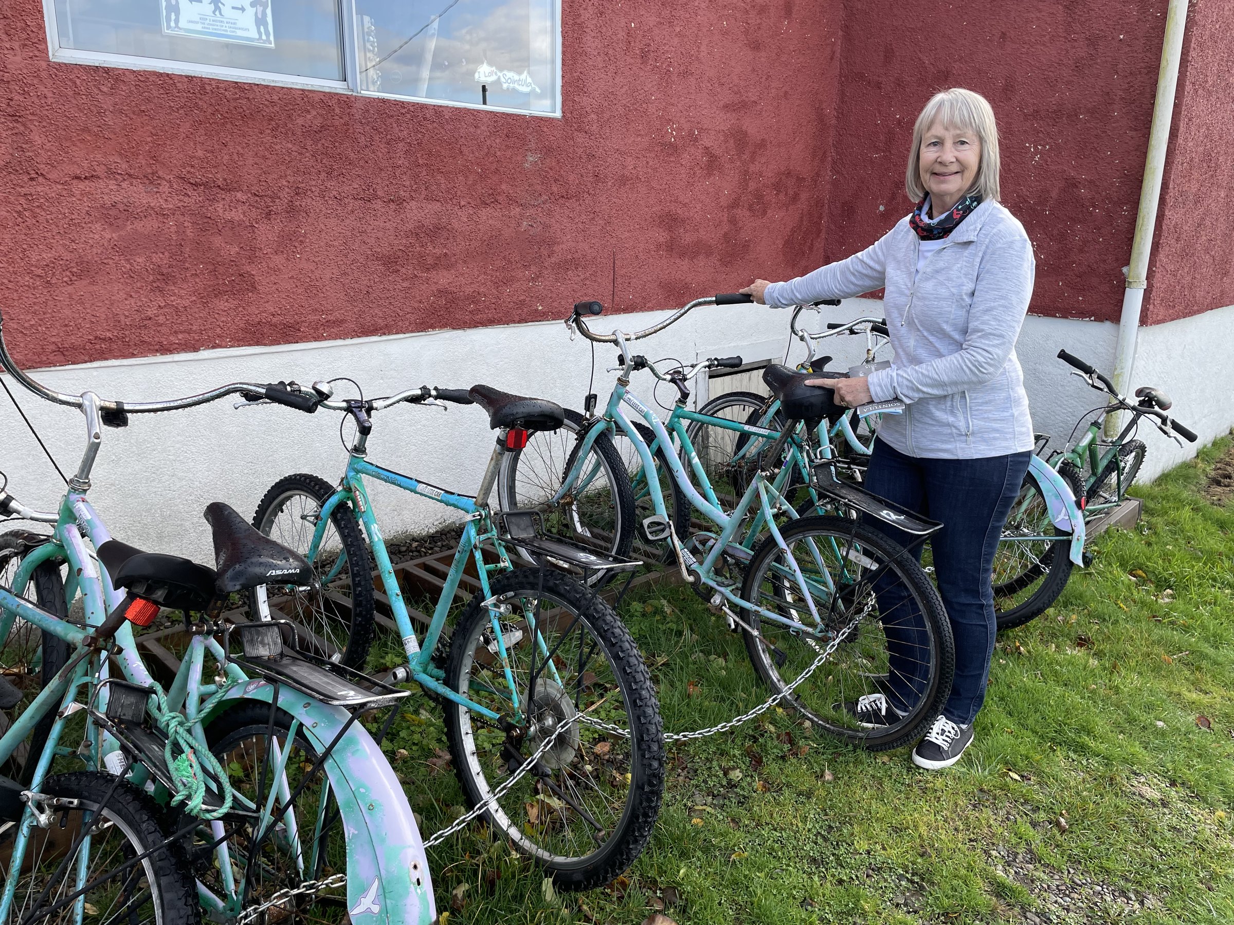
A ferry from Port McNeill lands you in Sointula, the village founded by Finnish settlers seeking utopia in 1901, and Malcolm Island's quiet roads and gravel take it from there: 10 to 90 km of waterfront riding out to Mitchell Bay or the Pulteney Point lighthouse. Orcas and humpbacks pass offshore, and the co-op store in Sointula has run since 1909. Mostly unpaved and hillier than it looks.

Stops, map + getting there →
Photo: Peter O HaraCourtenay, BC
Seaside Loop
40 km
EasyComfortable for mostMixed surface

Victoria's signed Seaside Touring Route follows the shoreline for up to 40 km, from the breakwater at Ogden Point around clifftop viewpoints and beaches toward Cordova Bay, with shorter neighbourhood loops of 2 km and up branching off. Urban riding with constant ocean views, some honest hills, and historic stops throughout.

Stops, map + getting there →
Photo: Nathan MartinAlert Bay, BC
Alert Bay - Cormorant Island
8 km

A ferry-hop from Port McNeill lands you on Cormorant Island, where Alert Bay's quiet waterfront streets make a 1 to 8 km ride past historic buildings and some of the coast's most significant totem poles, among them one of the world's tallest. The 'Namgis community's U'mista Cultural Centre anchors any visit. Small distances, big presence.

Stops, map + getting there →
Photo: Jarrett LindalCumberland, BC
Glen Lake / Royal Roads / Metchosin
24 km
AmbitiousCalm streets, some sharingMixed surface

Loops around Glen Lake, Royal Roads, and Metchosin span 4.5 to 24 km west of Victoria, passing Hatley Castle's gardens at Royal Roads, lakeside swimming at Glen Lake, and Metchosin's rural seaside lanes. Family-friendly overall, though the Metchosin hills roll more than the lake sections.

Stops, map + getting there →
Photo: Taylor Cave ProductionsNanaimo, BC
E&N Loops / Esquimalt / View Royal
46 km
ModerateComfortable for mostMixed surface

Around Esquimalt and View Royal, flat, family-friendly loops of 2 to 46 km combine the E&N Rail Trail and Galloping Goose with waterfront rides along the Gorge, Portage Inlet's bird flats, and Thetis Lake's swimming beaches. Mix and match trail sections to size the day; the 19 km E&N-plus-Goose loop is the classic.

Stops, map + getting there →
Photo: Taylor Cave ProductionsNanaimo, BC
Saanich Centennial Trails
45 km
EasyCalm streets, some sharingMostly paved

The Saanich Centennial Trails knit the municipality's greenways into rides of 1 to 45 km: the Colquitz River's salmon stream, Elk Lake's loop, the old Interurban rail grade, and connecting corridors between parks. Flat, quiet, family-friendly riding with good birdwatching, all inside the capital region.

Stops, map + getting there →
Photo: Reuben KrabbeVictoria, BC
North Saanich
60 km
EasyCalm streets, some sharingMostly paved

North Saanich offers rides of 3 to 60 km around the peninsula's tip: the Flight Path loop circling the airport, Lands End's quiet lanes, Sidney's seaside village, and practical ferry-to-ferry connections for travellers. Farmland, sea views, and gentle hills, family-friendly and transit-linked throughout.

Stops, map + getting there →

Thompson Okanagan · 32

Photo: Hubert KangOsoyoos, BC
Osoyoos Exploring
24 km
EasyRide with trafficMostly paved

This out-and-back explores Osoyoos in the South Okanagan, 4.5 to 24 km through lakefront parks, vineyards, and a stretch of rail trail. Osoyoos Lake is often called Canada's warmest, and the desert hills around it bloom with wildflowers in spring, with good birdwatching in the quieter sections.

Stops, map + getting there →
Photo: Emma ChooNaramata, BC
KVR - Penticton to Midway
214 km
AmbitiousComfortable for mostMostly gravelChunky gravelRemote stretches

The Kettle Valley Rail Trail from Penticton to Midway is one of Canada's most-loved off-pavement tours: 214 km of historic rail grade through Naramata's benchlands, up past Chute Lake, through the Kelowna highlands and Beaverdell, and down to Midway. Access points all along mean you can ride anything from 11 km to the whole thing. The grades stay gentle, but surfaces vary from smooth to rough and sandy, and services thin out in the middle, so plan your days around the towns.

Stops, map + getting there →
Photo: Thompson Okanagan Tourism AssociationChristina Lake, BC
Myra Canyon
22 km
EasyComfortable for mostAlmost all gravel

The most famous stretch of the Kettle Valley Rail Trail: Myra Canyon's historic wooden trestles and rock tunnels curve around the canyon rim high above Kelowna, in Myra-Bellevue Provincial Park. It is 11 km one way, 22 km return, on gentle rail grade the whole way, well suited to families. Go early or late in summer; the exposed sections get hot.

Stops, map + getting there →
Photo: Hubert KangNaramata, BC
Summerland
30 km
AmbitiousCalm streets, some sharingMostly paved

Loop options around Summerland range from 3 to 30 km, mixing rail trail and farmland with vineyards and Okanagan Lake shoreline. The flat sections suit families; the benchland climbs are steeper than they look and open up big views.

Stops, map + getting there →
Photo: Andrew StrainKamloops, BC
Fur Brigade Trail
43 km
ModerateCalm streets, some sharingMixed surface

An out-and-back on the historic Fur Brigade Trail, the old Hudson's Bay Company route between Summerland and Peachland. Ride 4 km or the full 43, climbing quietly through forest to big views, with wildlife common along the way. Partly gravel, and steeper than the average rail trail: this was a pack trail, not a train line.

Stops, map + getting there →
Photo: Kari MedigThompson Okanagan, BC
Peachland
26 km
AmbitiousComfortable for mostMixed surface

Peachland's out-and-back options span 3 to 26 km. Stay low for quiet, family-friendly lakefront parkland along Okanagan Lake, or climb into the hills past historic sites and the local museum, where the riding turns noticeably hillier and rougher.

Stops, map + getting there →
Photo: Emma ChooWest Kelowna, BC
West Kelowna
40 km
AmbitiousCalm streets, some sharingMostly paved

West Kelowna's out-and-back covers 3 to 40 km, linking lakefront parks with the vineyards, farmland, and breweries of the west side. Family-friendly near the water, hillier as you head for the wineries.

Stops, map + getting there →
Photo: Kari MedigSummerland, BC
Mission Creek Greenway
18 km
EasyRide with trafficMixed surface

The Mission Creek Greenway follows its creek through Kelowna for 3 to 18 km of family-friendly riding through parks and forest. Come in fall for the salmon spawning, bring binoculars for the birds, and watch for the historic sites tucked along the way.

Stops, map + getting there →
Photo: Vanessa Garrison PhotographyThompson Okanagan, BC
Kelowna Lakeshore Parks
14 km
EasyComfortable for mostMostly paved

Kelowna's Lakeshore Parks ride threads the city's waterfront for 7 to 14 km, flat and paved nearly the whole way, connecting beaches, parks, and public art. An easy family outing where the hardest decision is which beach to stop at.

Stops, map + getting there →
Photo: Kai JacobsonThompson Okanagan, BC
Lakeshore South
30 km
ChallengingComfortable for mostMixed surfaceChunky gravel

Lakeshore South in Kelowna stretches from an easy waterfront roll to a genuinely hilly 30 km out-and-back. The further you go, the wilder it gets: quiet forest, lake views, and upper stretches that turn rough and steep enough to feel like a real workout. Pick your distance to match your day.

Stops, map + getting there →
Photo: Kari MedigPenticton, BC
Vistas & Vines
20 km
ModerateCalm streets, some sharingMostly paved

Vistas and Vines loops through Kelowna's East Kelowna Bench for 6.5 to 20 km, climbing quiet roads through vineyards and orchards to big valley views. Time it for cherry blossoms in spring or fall foliage later in the season; either way the wineries are open.

Stops, map + getting there →
Photo: Indigenous Tourism BCOsoyoos, BC
Osoyoos East
9 km

Osoyoos East is a short out-and-back, 1.5 to 9 km, of flat, family-friendly riding along lakefront parks and vineyards, with historic sites along the way. A gentle introduction to Canada's desert wine country.

Stops, map + getting there →
Photo: Thompson Okanagan Tourism AssociationWest Kelowna, BC
Okanagan Rail Trail - Kelowna
32 km
EasyComfortable for mostMostly paved

The Okanagan Rail Trail through Kelowna runs 1.5 to 32 km, flat and nearly all paved, an easy spin for families and new riders. Breweries, vineyards, and the city's urban stretches line the way, with singletrack options nearby for those who want them.

Stops, map + getting there →
Photo: Mirae CampbellLake Country, BC
Okanagan Rail Trail - North
75 km
ModerateCalm streets, some sharingMostly paved

North of Kelowna, the Okanagan Rail Trail continues through Lake Country toward Vernon, 8 to 75 km out and back, famously hugging the turquoise shoreline of Kalamalka Lake. Vineyards, farmland, and lakefront the whole way, gorgeous in fall colour, and gentle enough for families.

Stops, map + getting there →
Photo: Kai JacobsonVernon, BC
Predator Ridge & Ellison Park
10 km
AmbitiousCalm streets, some sharingMostly paved

Predator Ridge and Ellison Provincial Park in the North Okanagan offer 1 to 10 km of quiet forest riding out to Okanagan Lake views, with good birdwatching and frequent wildlife. Short but not always flat: the trail climbs enough to keep it interesting.

Stops, map + getting there →
Photo: Kai JacobsonVernon, BC
Okanagan Lake Views
30 km
ModerateRide with trafficMostly paved

This Vernon loop runs 2.5 to 30 km, collecting Okanagan Lake views from waterfront parks, farmland, and climbing hillside roads, with historic stops along the way. The short version suits families; the full loop earns its viewpoints.

Stops, map + getting there →
Photo: Kai JacobsonVernon, BC
Vernon Exploring
13 km
EasyCalm streets, some sharingMostly paved

Vernon Exploring loops through Vernon and Coldstream for 8 to 13 km, stringing together urban parks, the city's famous murals and public art, historic sites, and breweries. A few hills, but nothing a coffee stop can't fix.

Stops, map + getting there →
Photo: Abby CooperLake Country, BC
Kalamalka Lake Park
17 km
AmbitiousCalm streets, some sharingMostly gravel

Kalamalka Lake Provincial Park near Vernon and Coldstream offers loops from 3 to 17 km through quiet forest and singletrack, with viewpoints over the lake's famous blue-green water. Good birdwatching and frequent wildlife, and enough climbing on the longer options to earn the views.

Stops, map + getting there →
Photo: Thompson Okanagan Tourism AssociationLake Country, BC
Swan Lake & Grey Canal
27 km
ChallengingComfortable for mostMostly paved

Swan Lake and the historic Grey Canal near Vernon form a loop of 1.3 to 27 km. The lake is a birdwatching favourite, and the canal, once the Okanagan's most ambitious irrigation project, now carries a trail through farmland and forest with wide valley views. The full loop climbs more than you might expect.

Stops, map + getting there →
Photo: Grant HarderThompson Okanagan, BC
Green Valleys
74 km
EasyRide with trafficMostly paved

A loop through the green farm country of Salmon Arm, Spallumcheen, and Enderby, ridden at anywhere from 24 to 74 km. Quiet farmland roads, riverside stretches, and a section of rail trail lead past vineyards and historic sites, with some climbing but nothing sustained.

Stops, map + getting there →
Photo: Thompson Okanagan Tourism AssociationSummerland, BC
Armstrong-Enderby
24 km
EasyRide with trafficMostly paved

A country loop between Armstrong and Enderby through Spallumcheen farmland, 16.5 to 24 km depending on the variation. Quiet roads climb past historic sites, and both towns have somewhere good to refuel at the end. Expect some traffic on the connecting stretches.

Stops, map + getting there →
Photo: Salmon Arm TourismSalmon Arm, BC
Salmon Arm
20 km
AmbitiousRide with trafficMostly paved

This Salmon Arm loop runs 3.5 to 20 km, starting along the Shuswap waterfront, where the foreshore is one of BC's best birding spots, then climbing through farmland and vineyards above the lake. The full loop has real hills; the waterfront section suits everyone.

Stops, map + getting there →
Photo: Andrew StrainOliver, BC
Golden Mile
18 km
ModerateRide with trafficMostly paved

The Golden Mile loop at Oliver runs 5 to 18 km through the heart of Canada's wine country, mixing the valley-bottom rail trail with quiet climbing roads along the benchlands. Vineyards, farmland, historic stops, and big views the whole way, with wineries inviting a slower pace than you planned.

Stops, map + getting there →
Photo: Hubert KangCache Creek, BC
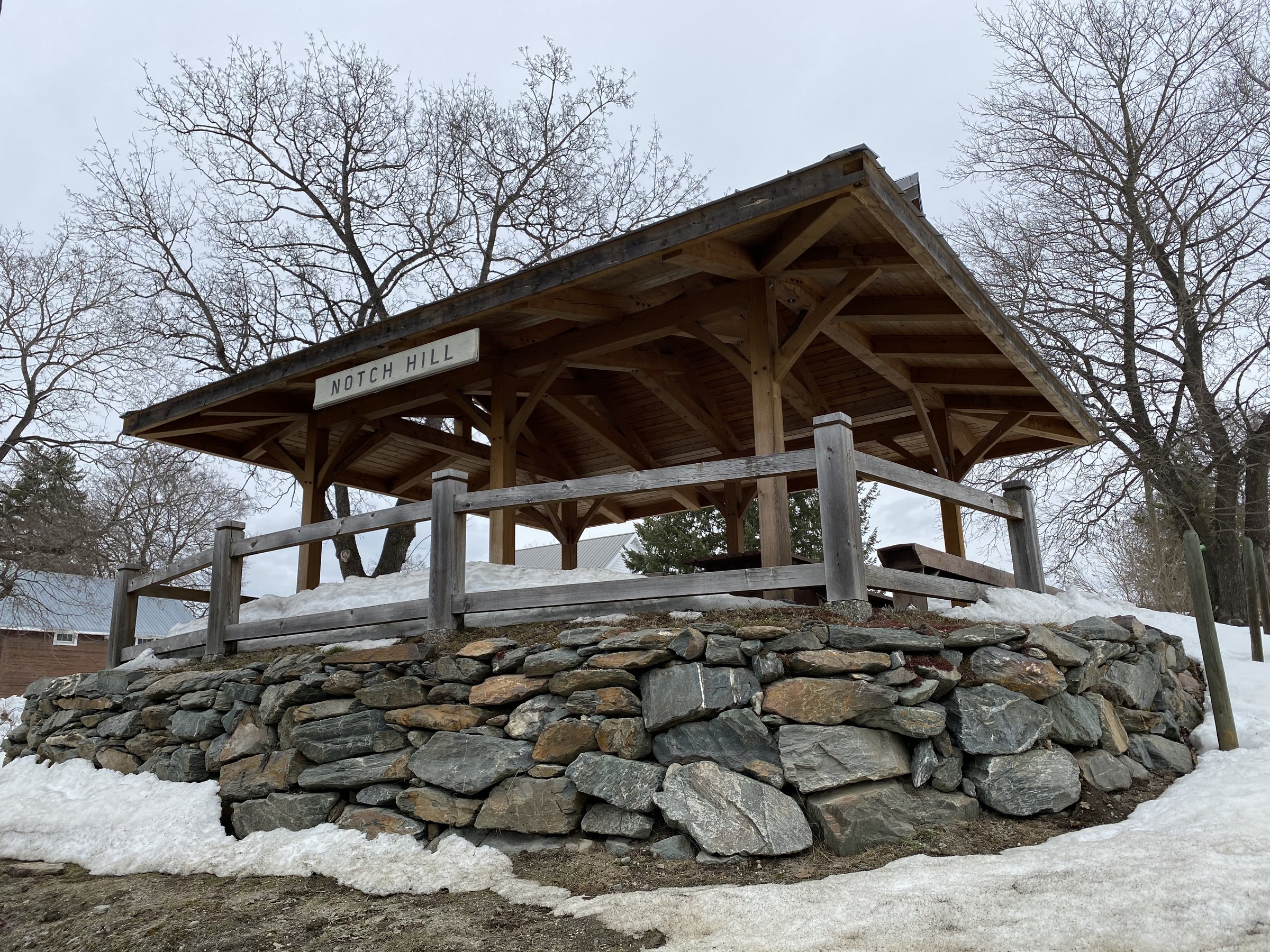
Notch Hill - Tappen
50 km
ModerateRide with trafficMixed surface

This Shuswap loop links Tappen, Notch Hill, Sorrento, Blind Bay, and Sunnybrae over 18.5 to 50 km of quiet farmland roads. Vineyards, historic sites, and Shuswap Lake views roll past, with wildlife along the way and moderate climbing throughout.

Stops, map + getting there →
Photo: Kari MedigPenticton, BC
North Shuswap - Tsutswecw
84 km
AmbitiousCalm streets, some sharingMixed surface

The North Shuswap out-and-back runs through Squilax, Scotch Creek, and Celista for anywhere from 5 to 84 km, past lake views, forest singletrack, and vineyards. This is salmon country: Tsútswecw Provincial Park hosts one of North America's great sockeye runs each fall, spectacular in its dominant years. Some climbing on the longer options.

Stops, map + getting there →
Tulameen, BC
Kettle Valley Rail Trail - Hope to Summerland
254 km
AmbitiousRide with trafficMixed surfaceRemote stretches

The western half of the Kettle Valley Rail Trail links Hope to Summerland through Brookmere, Tulameen, Princeton, and Osprey Lake, with access points letting you ride anything from 26 km to the full 254. Quiet, historic rail grade through forest and riverside country, finishing in wine country. Be aware that parts of the corridor near the Coquihalla are currently closed or rough, so check current trail status before planning a through-ride.

Stops, map + getting there →
Photo: Cristina GareauSun Peaks, BC
Hike-Bike Trail & Black Sage Road
40 km
ModerateCalm streets, some sharingMostly paved

The Hike-Bike Trail and Black Sage Road loop near Oliver covers 18.5 to 40 km of flat, quiet riding along rail trail and riverside paths, past some of the South Okanagan's most storied vineyards. Good birdwatching in the green stretches, and wine stops as tempting as you let them be.

Stops, map + getting there →
Photo: Darren RobinsonCawston, BC
Similkameen
40 km
EasyRide with trafficMostly paved

This Similkameen Valley loop through Cawston and Keremeos runs 4 to 40 km of quiet, family-friendly riding on rail trail and riverside roads. The valley calls itself Canada's organic farming capital, and the fruit stands, orchards, and vineyards along the way back the claim. Flat, warm, and generous with views.

Stops, map + getting there →
Photo: Kari MedigOkanagan Falls, BC
Corkscrew & Grasslands
23 km
EasyRide with trafficMostly paved

An out-and-back between Okanagan Falls and Oliver, 13.5 to 23 km, climbing quietly through farmland and grassland benches. The reward is big views over the vineyards of one of Canada's premier wine regions, with wildlife often making an appearance.

Stops, map + getting there →
Photo: Thompson Okanagan Tourism AssociationPenticton, BC
Skaha Lake
30 km
ModerateCalm streets, some sharingMostly paved

The Skaha Lake loop connects Okanagan Falls, Kaleden, and Penticton over 2 to 30 km, much of it on lakefront rail trail with beaches at each end. Vineyards and historic sites line the route, and the few climbs come with views over the water.

Stops, map + getting there →
Photo: Kari MedigPenticton, BC
Penticton Exploring
20 km
EasyComfortable for mostMostly paved

Penticton Exploring loops through the city for 1.5 to 20 km of flat, family-friendly riding, linking lakefront parks, rail trail, historic sites, and the edges of wine country. The city sits between two lakes, so beaches bookend the ride.

Stops, map + getting there →
Photo: Hubert KangNaramata, BC
Naramata
37 km
AmbitiousCalm streets, some sharingMostly paved

The Naramata loop near Penticton covers 7 to 37 km through the vineyards and orchards of the Naramata Bench, mixing quiet climbing roads with rail trail and lakefront stretches. Historic stops and big views over Okanagan Lake come standard; winery visits are up to you.

Stops, map + getting there →

Kootenay Rockies · 4

Photo: Thompson Okanagan Tourism AssociationGrand Forks, BC
Columbia & Western Rail Trail
162 km
AmbitiousCalm streets, some sharingMixed surfaceChunky gravelRemote stretches

The Columbia & Western Rail Trail crosses the Boundary and West Kootenay regions from Midway through Greenwood, Grand Forks, and Christina Lake up to Farron and down to Castlegar, with access points along its 21 to 162 km. The historic corridor is quiet and rich with wildlife and birdwatching, but do not expect groomed rail trail the whole way: long stretches run rough and chunky, shared with ATVs, so bigger tires and a sense of adventure help.

Stops, map + getting there →
Photo: Kari MedigNew Denver, BC
Slocan Valley - Nelson-Salmo - Nakusp
170 km
AmbitiousRide with trafficMixed surfaceRemote stretches

The West Kootenays kept their railway history rideable: four rail trails around Nakusp, New Denver, the Slocan Valley, Nelson, and Salmo. Ride one as a gentle riverside day, or string them together into something closer to 170 km. The trails themselves are calm and forested, and wildlife sightings are common; getting between them means some riding on shared roads.

Stops, map + getting there →
Photo: Mitch WintonCranbrook, BC
North Star & Chief Isadore
72 km
EasyCalm streets, some sharingMixed surface

The North Star and Chief Isadore rail trails connect Kimberley, Cranbrook, and Wardner in the East Kootenay, ridden in pieces from 6.5 km or end to end at 72 km. Easy, nearly flat, family-friendly riding through forest and wildflowers on historic rail grade, with wildlife commonly spotted along the way.

Stops, map + getting there →
Photo: Mitch WintonInvermere, BC
Markin-MacPhail Westside Legacy Trail
50 km
AmbitiousComfortable for mostMixed surface

The Markin-MacPhail Westside Legacy Trail connects Invermere, Fairmont Hot Springs, and Radium Hot Springs through the Columbia Valley, ridden as out-and-backs from 7 to 50 km. Mostly gentle and family-friendly, following lake and forest with steady mountain views and good birdwatching, though a few sections roll and climb more than you might expect. Hot springs at either end make a fine finish line.

Stops, map + getting there →
← All route makers
Do you publish well-documented cycling routes in BC — road, gravel, touring, or family rides?

We're interested in learning more about where you love to ride. Drop us a note and tell us what you publish.

hello@bccycletourism.ca