BC Cycle Tourism Society

Bike Gear Database

Bike Gear Database is a Canadian online publication covering gravel and bikepacking gear reviews, rider stories, and community-submitted route guides. Routes are organized by country and region, including a Canada section with several British Columbia rides — and every route in the library has actually been ridden by the community before it's published.

Their BC collection

Bike Gear Database's British Columbia routes are mostly single-day gravel and mixed-surface rides of 43–124 km, spread across Vancouver Island, the Vancouver Coast and Mountains region, the Thompson-Okanagan, and the Cariboo Chilcotin Coast, plus one 510 km multi-day bikepacking route across Haida Gwaii in northern British Columbia. Surface mix ranges from fully paved to mostly unpaved (up to 83% unpaved), with difficulty from moderate to hard.
All 12 BC rides#

Open any ride for its welcoming stops and how to get there. The full writeup, map, and directions live on Bike Gear Database's website.

Vancouver, Coast and Mountains · 4

Photo: Andrew StrainVancouver, Coast and Mountains, BC
Gravel Guide Vancouver: Afterschool Special
43 km · 437 m up
ModerateComfortable for mostMixed surfaceSome climbing

A 43 km city loop that finds a surprising amount of dirt without leaving Vancouver: around Stanley Park, along the Kitsilano shoreline to Jericho Beach and its resident rabbits, then into Pacific Spirit Park, where trails wind beneath hemlock, fir, and spruce, finishing on the Arbutus Greenway. Gentle grades throughout, rideable after work, which is exactly the point of the name.

Stops, map + getting there →
Photo: Kindred ScoutNorth Vancouver, BC
Gravel Guide Vancouver: Cypress Side Quest
55 km · 1130 m up
AmbitiousCalm streets, some sharingMixed surfaceMax climbing

A 55 km introduction to North Shore gravel: cross the Lions Gate Bridge with the city at your back, then climb into the mountains on a mix of pavement and steep dirt, including the Fern Trail doubletrack with its views back over the Vancouver skyline. The ride tops out around the Cleveland Dam and Capilano River before the descent home. About 1,100 m of climbing, and it earns every metre.

Stops, map + getting there →
Photo: Hubert KangNorth Vancouver, BC
Gravel Guide Vancouver: Seymour Valley Loop
69 km · 1234 m up
AmbitiousComfortable for mostMixed surfaceLots of climbing

A Vancouver gravel staple: 69 km linking protected bike lanes from downtown to the Seymour Valley, where a closed-to-cars paved trailway leads deep into the forest. The route visits the Seymour Dam, source of much of Metro Vancouver's drinking water, then returns on Spur 4 Road and Fisherman's Trail past a salmon hatchery and through pockets of old growth. About 1,200 m of climbing spread gently over the day.

Stops, map + getting there →
Photo: Alex GuiryBowen Island, BC
Texada Island Two Step
124 km · 2886 m up
ChallengingComfortable for mostMostly gravelChunky gravelMax climbing

A hardy 124 km lap of Texada Island, reached by ferry from Powell River. Mostly gravel, never busy, and far hillier than an island ride has any right to be: the climbing comes constantly in steep pitches, nearly 2,900 m of it. Come with low gears and a full day, or split it with a night at one of the island's campgrounds.

Stops, map + getting there →

Vancouver Island · 5

Photo: Taylor Cave ProductionsNanaimo, BC
Barry's Loop
58 km · 618 m up
AmbitiousComfortable for mostMixed surfaceChunky gravelSome climbing

A 58 km mixed-surface loop out of Esquimalt near Victoria, about 40% unpaved with 600 m of climbing and some genuinely rough stretches. A local's line through the South Island's backroads, named for the rider who shared it.

Stops, map + getting there →
Photo: Ben GiesbrechtPort Renfrew, BC
Gordon River & Tall Trees
123 km · 3217 m up
ChallengingRide with trafficMixed surfaceMax climbingRemote stretches

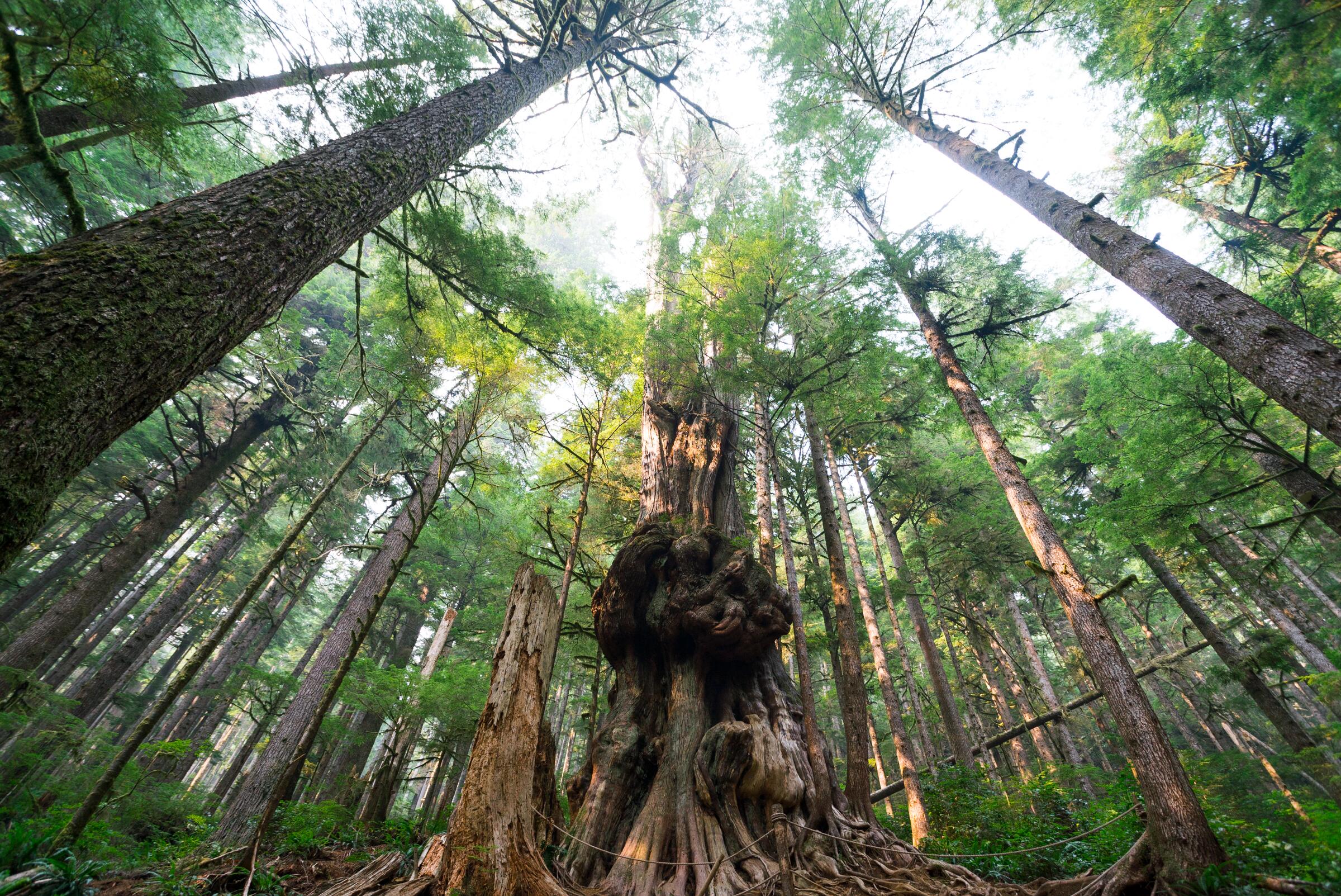
From Lake Cowichan, this 123 km mixed-surface ride crosses to Port Renfrew and back through some of the island's most storied country: ancient forest, crystal-clear rivers, and long quiet logging-road stretches. About 3,200 m of climbing and remote in the middle, so carry what you need. The tall trees are not a figure of speech.

Stops, map + getting there →
Photo: Peter O HaraCourtenay, BC
Gravel Loop Comox Valley
64 km · 603 m up
ModerateCalm streets, some sharingMixed surfaceSome climbing

A 64 km rolling loop through the Comox Valley near Courtenay, mixing quiet pavement with gravel stretches and about 600 m of gentle climbing. Farm country riding with the Beaufort Range on the horizon and the valley's food-and-cider scene close at hand.

Stops, map + getting there →
Photo: Taylor Cave ProductionsNanaimo, BC
Metchosin Caper
83 km · 791 m up
AmbitiousComfortable for mostMixed surfaceSome climbing

An 83 km rolling loop out of Victoria through Metchosin's rural roads and trails, about a third unpaved with 800 m of climbing. Farm stands, ocean glimpses, and forest stretches trade places the whole way around; a local's tour of the capital's quiet west.

Stops, map + getting there →
Photo: Peter O HaraShawnigan Lake, BC
Mill Bay Rambler
100 km · 1136 m up
AmbitiousCalm streets, some sharingMostly gravelSome climbing

A 100 km road ride from Esquimalt up the Saanich Inlet coast toward Mill Bay and back, with about 1,100 m of climbing. Classic South Island road touring: shoreline stretches, forested climbs, and enough distance to make the coffee stop count.

Stops, map + getting there →

Thompson Okanagan · 1

Cariboo Chilcotin Coast · 1

Northern British Columbia · 1

← All route makers
Do you publish well-documented cycling routes in BC — road, gravel, touring, or family rides?

We're interested in learning more about where you love to ride. Drop us a note and tell us what you publish.

hello@bccycletourism.ca