A volunteer-run, community-collaborative project mapping a proposed coast-to-coast National Cycling Route Network for Canada. It publishes route data as GPX files, a Garmin BaseCamp database (GDB) with points of interest, KMZ files for offline smartphone use, interactive Google Maps, and a curated Ride with GPS collection.
Their BC collection
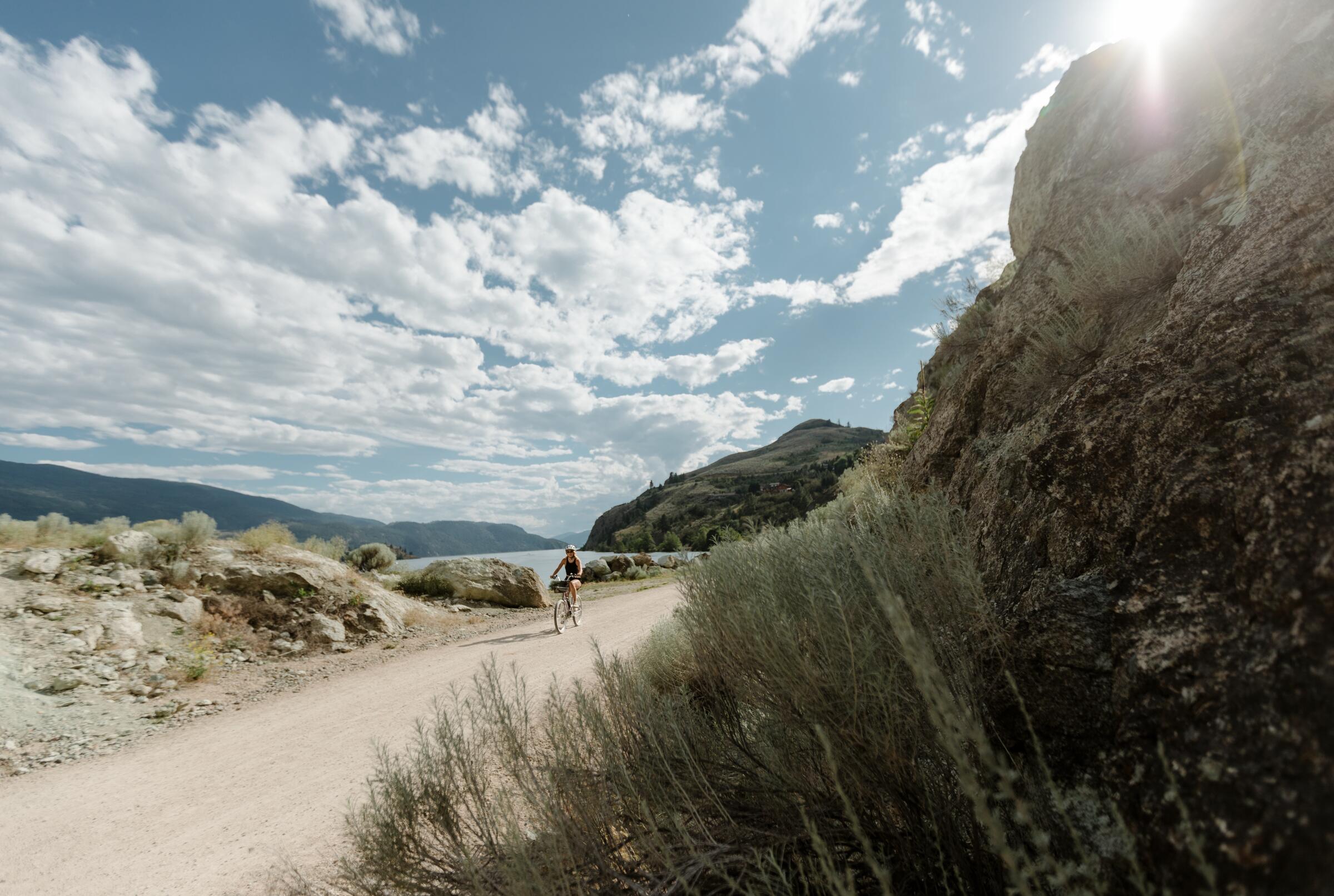
The BC portion of the network totals roughly 5,400 km of mapped riding across all six regions of the province, from Vancouver Island to the North. It is long-distance, self-supported touring — the western spine of a route that ultimately crosses the whole country, mapped entirely by volunteers.