BC Cycle Tourism Society

Cross Canada Cycle Tour Society

The Cross Canada Cycle Tour Society (CCCTS) is a non-profit cycling club founded in 1982, based in British Columbia with a chapter in Ottawa. In its own words, it is a club for active adults of all ages; members are mainly retired people who love recreational cycling. Volunteers organize weekly day rides plus multi-day and cross-Canada tours, some of which have run continuously since the 1980s.

Their BC collection

The Cross Canada Cycle Tour Society's BC routes range from short day rides of about 84 km to a 1,511 km cross-provincial tour toward Calgary. Most of its routes here are on Vancouver Island, with others in the Lower Mainland and Fraser Valley and one crossing northern British Columbia, the Cariboo-Chilcotin Coast, and the Thompson-Okanagan. Most routes are on paved roads with rolling-to-climbing terrain, and the set includes several multi-day touring routes and one route linked by four ferry crossings.
All 10 BC rides#

Open any ride for its welcoming stops and how to get there. The full writeup, map, and directions live on Cross Canada Cycle Tour Society's website.

Vancouver, Coast and Mountains · 2

Vancouver Island · 7

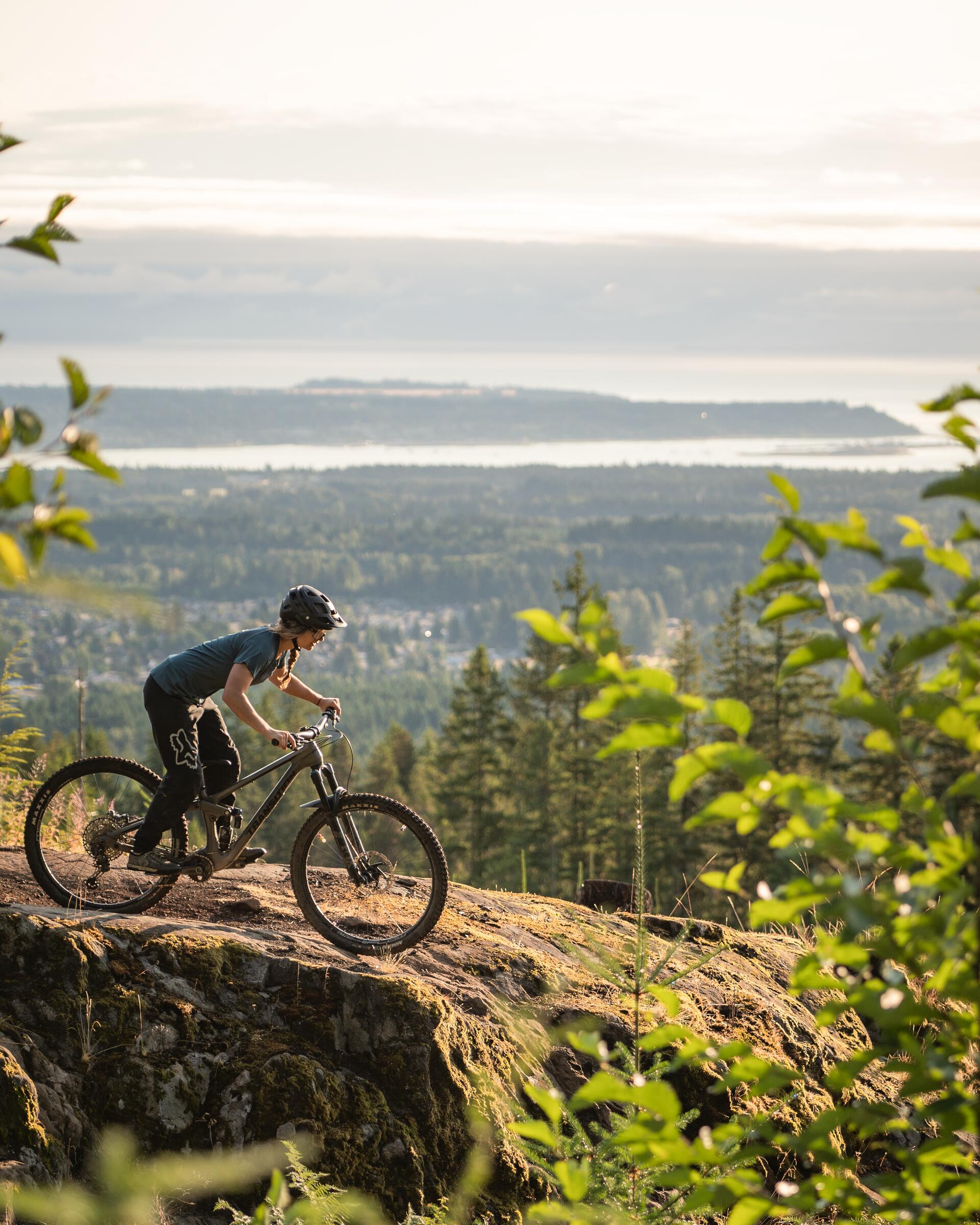
Photo: The Number CreativeNanaimo, BC
Sunshine Coast Tour Day 5
110 km · 1135 m up
AmbitiousRide with trafficMostly pavedSome climbing

The fifth day of a Cross Canada Cycle Tour Society multi-day tour, riding 110 km in the Nanaimo area with about 1,100 m of rolling climbing, nearly all paved. Club-style road touring: steady pace, shared roads, coffee halfway.

Stops, map + getting there →
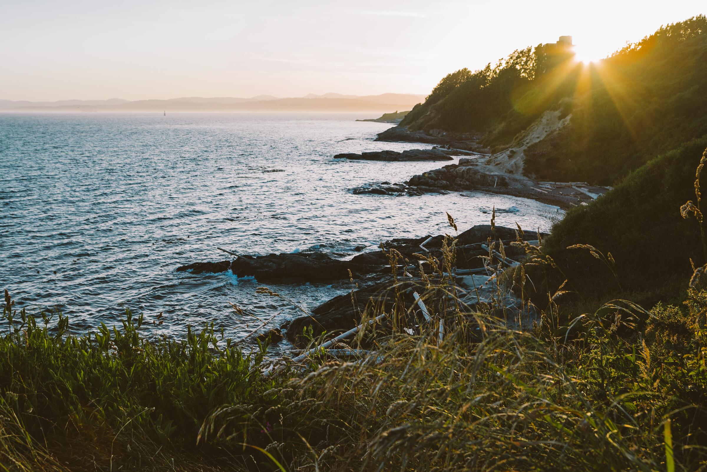
Photo: Danika McDowellComox, BC
4 Ferry Odyssey
165 km · 1662 m up
AmbitiousRide with trafficMostly pavedSome climbing

The 4 Ferry Odyssey links Campbell River, Quadra Island, Cortes Island, Lund, and Powell River in a 165 km island-hopping tour with four water crossings, three ferries and a water taxi. The riding is nearly all paved but deceptively hilly, and the crossings set an unforgiving rhythm, which is why the club recommends it for strong riders. Few routes pack in more Salish Sea per kilometre.

Stops, map + getting there →
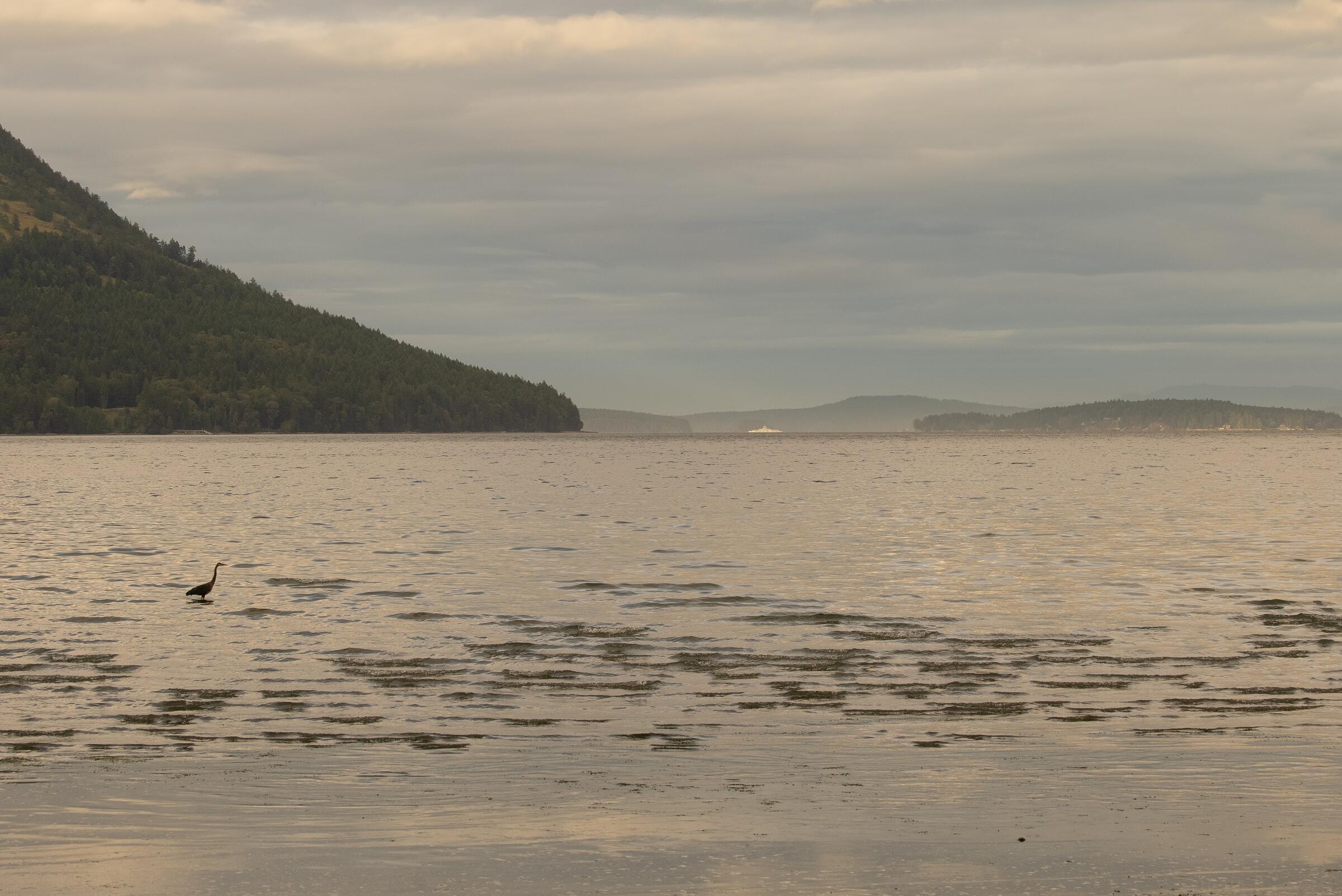
Photo: Jordan DyckComox, BC
Cross Canada - Far North - Vancouver Island
498 km · 3461 m up
ChallengingRide with trafficMostly pavedSome climbingRemote stretches

The Vancouver Island stage of the Cross Canada Cycle Tour Society's Far North route: 498 km running the island's length on paved highway and back roads, with about 3,500 m of climbing. The northern half turns quiet and remote, with long gaps between services and highway traffic for company. A committed multi-day tour and a fine way to understand how big the island really is.

Stops, map + getting there →
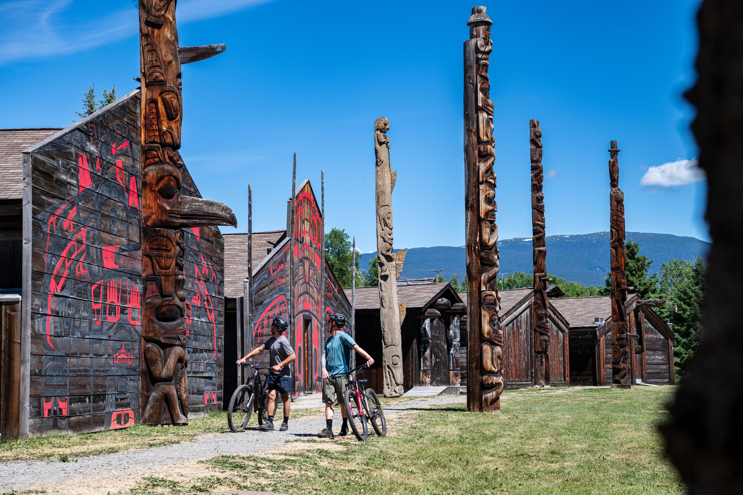
Photo: Rob WilsonDuncan, BC
Duncan to Chemainus
108 km · 729 m up
AmbitiousRide with trafficMostly pavedSome climbing

A rolling 108 km paved day ride between Duncan, the City of Totems, and Chemainus, famous for its outdoor murals, through the Cowichan Valley's farmland. About 730 m of climbing on shared roads; the two towns' public art makes better-than-average turnaround entertainment.

Stops, map + getting there →
Photo: Jarrett LindalCumberland, BC
Gold River 2
109 km · 1421 m up
AmbitiousRide with trafficMostly pavedLots of climbingRemote stretches

An out-and-back paved ride on Highway 28 from the Elk Portal parking area to Gold River and on to the salt water at Muchalat Inlet, about 109 km with 1,400 m of climbing. Quiet mountain highway riding through the edge of Strathcona country, with long empty stretches, so carry what you need.

Stops, map + getting there →
Photo: Ben GiesbrechtVictoria, BC
Touring Victoria
84 km · 413 m up
AmbitiousCalm streets, some sharingMostly pavedGentle grades

An 84 km rolling day ride through Greater Victoria, mostly paved, sampling the capital region's shoreline drives, quiet neighbourhoods, and rural edges with only about 400 m of climbing. A club-style tour that shows how much variety hides within an afternoon of the city.

Stops, map + getting there →
Photo: The Number CreativeCowichan Bay, BC
Victoria - Port Renfrew - Lake Cowichan - Duncan - Victoria
264 km · 2993 m up
AmbitiousRide with trafficMostly pavedSome climbing

A classic South Island road tour: start at the Empress Hotel in downtown Victoria, ride the coast road to Port Renfrew, cross the island's interior to Lake Cowichan and Duncan, and return, 264 km over two or three days with nearly 3,000 m of climbing. Paved throughout, remote and lightly serviced on the west-coast leg, and about as varied as island road riding gets.

Stops, map + getting there →

Northern British Columbia · 1

← All route makers
Do you publish well-documented cycling routes in BC — road, gravel, touring, or family rides?

We're interested in learning more about where you love to ride. Drop us a note and tell us what you publish.

hello@bccycletourism.ca