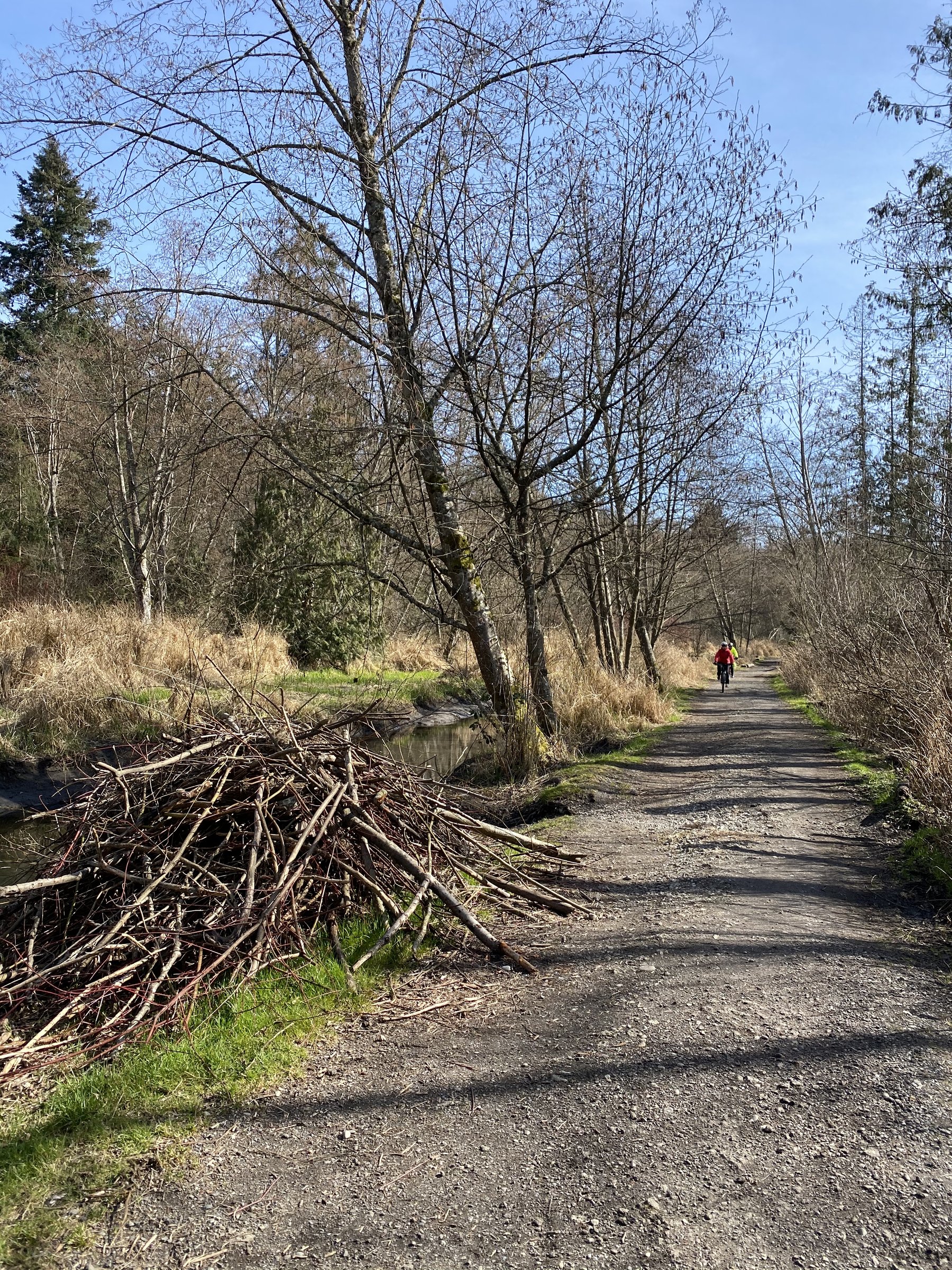
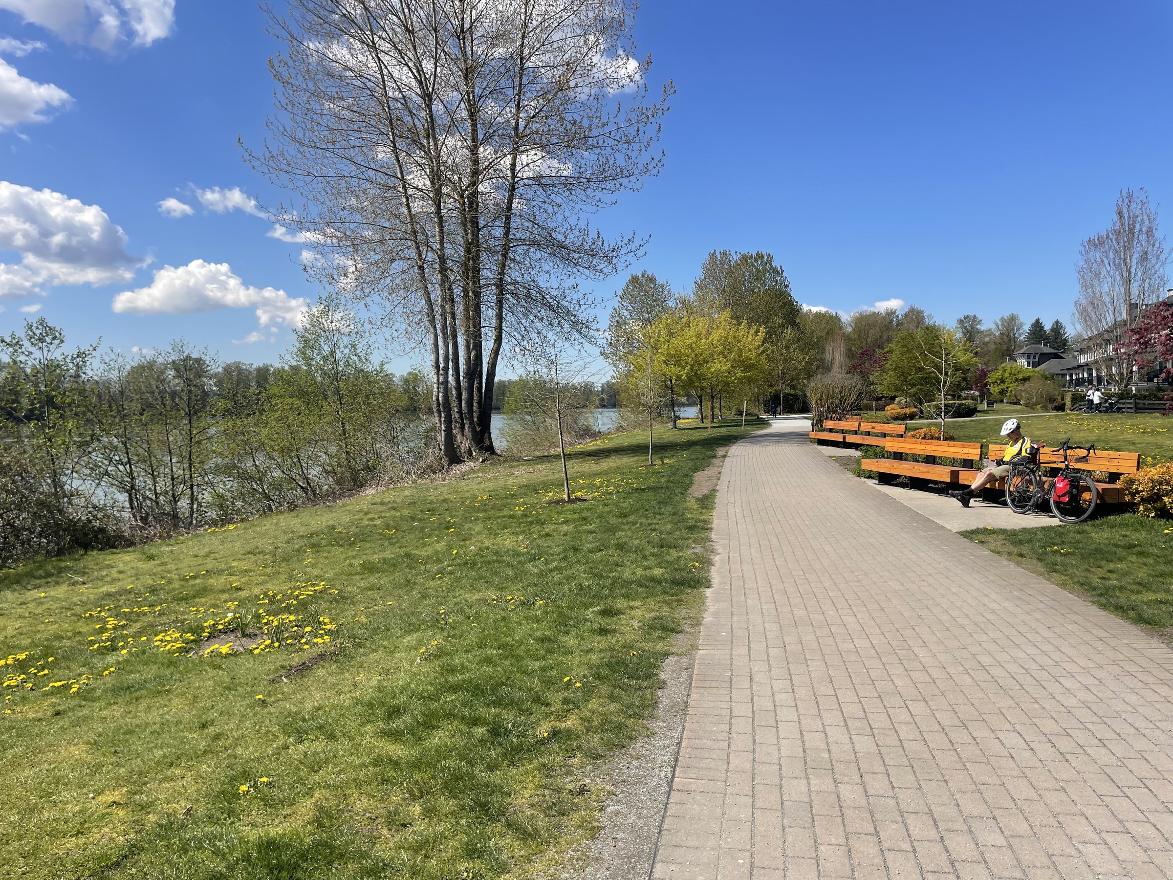
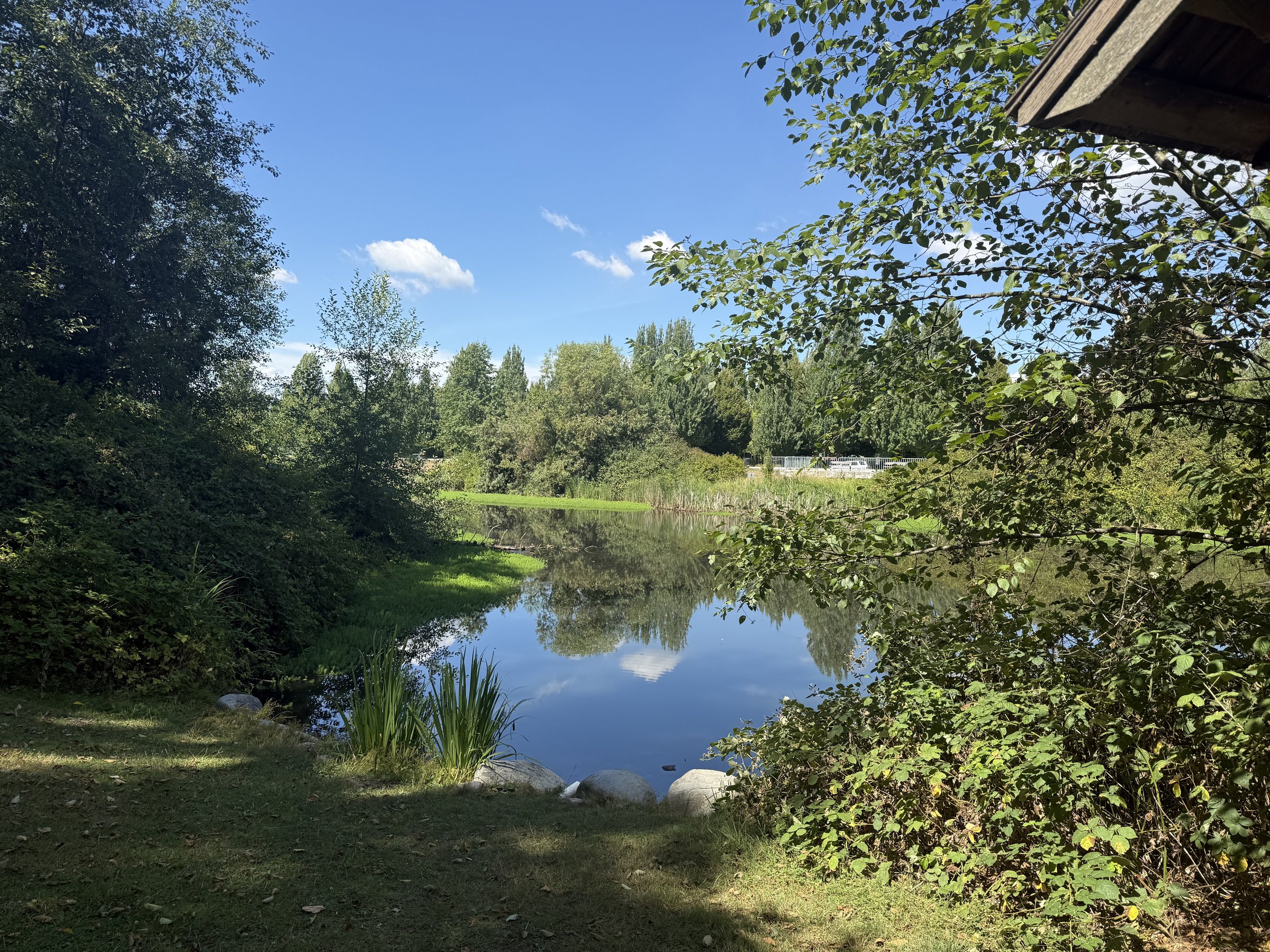
Photo: Craig BarkerPemberton, BC
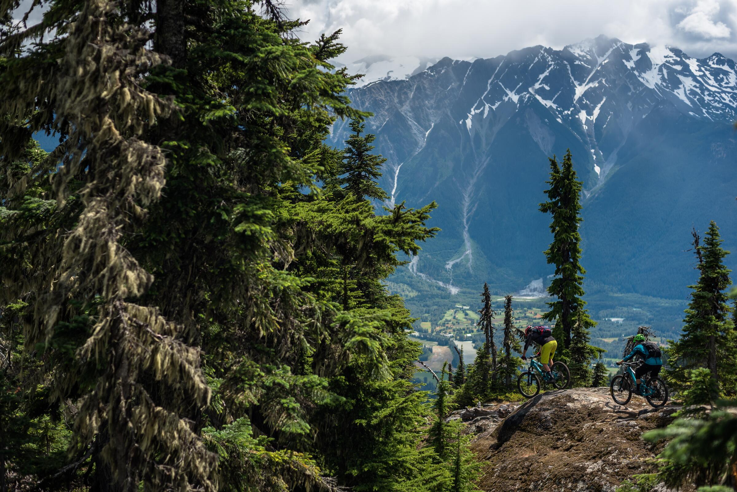
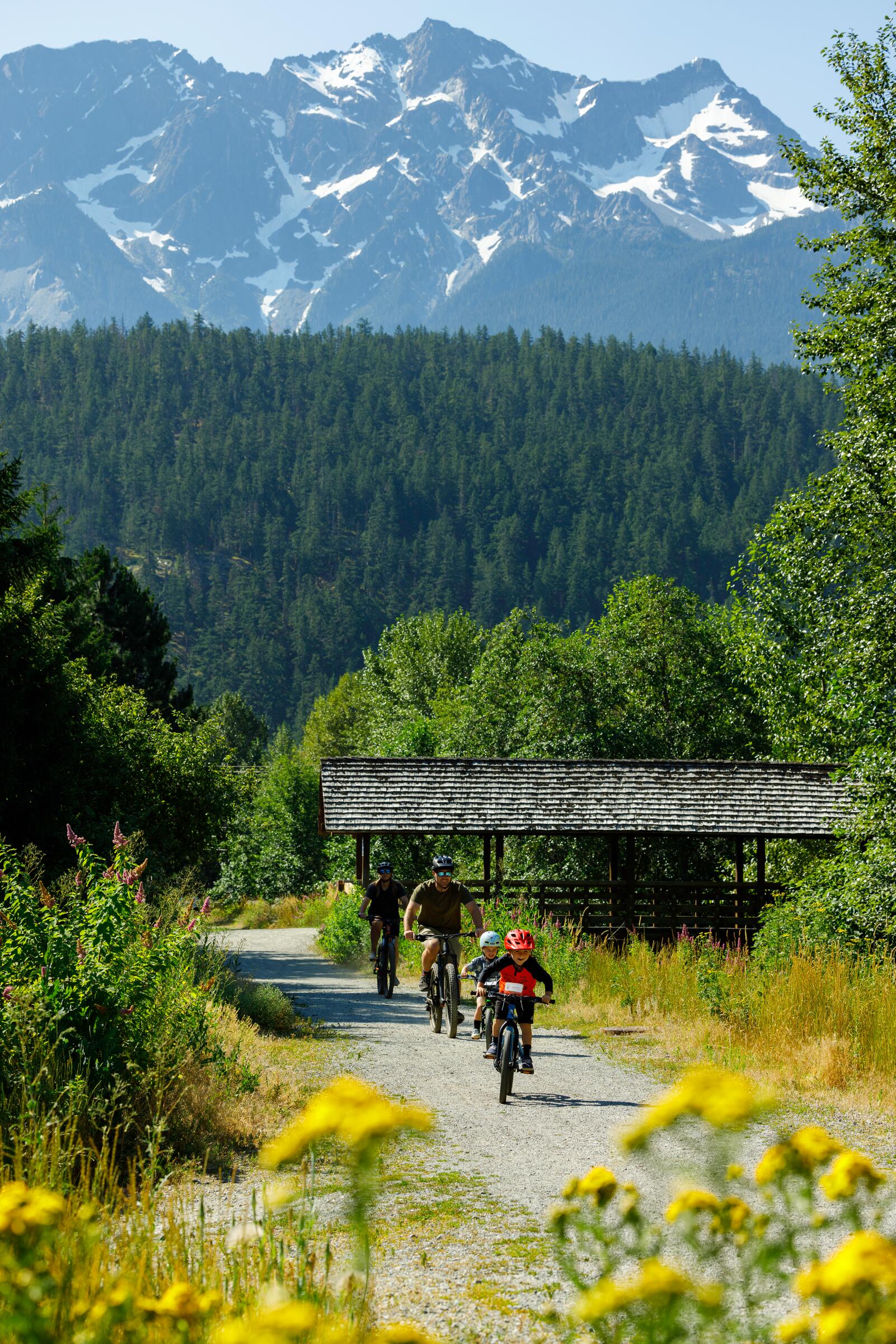
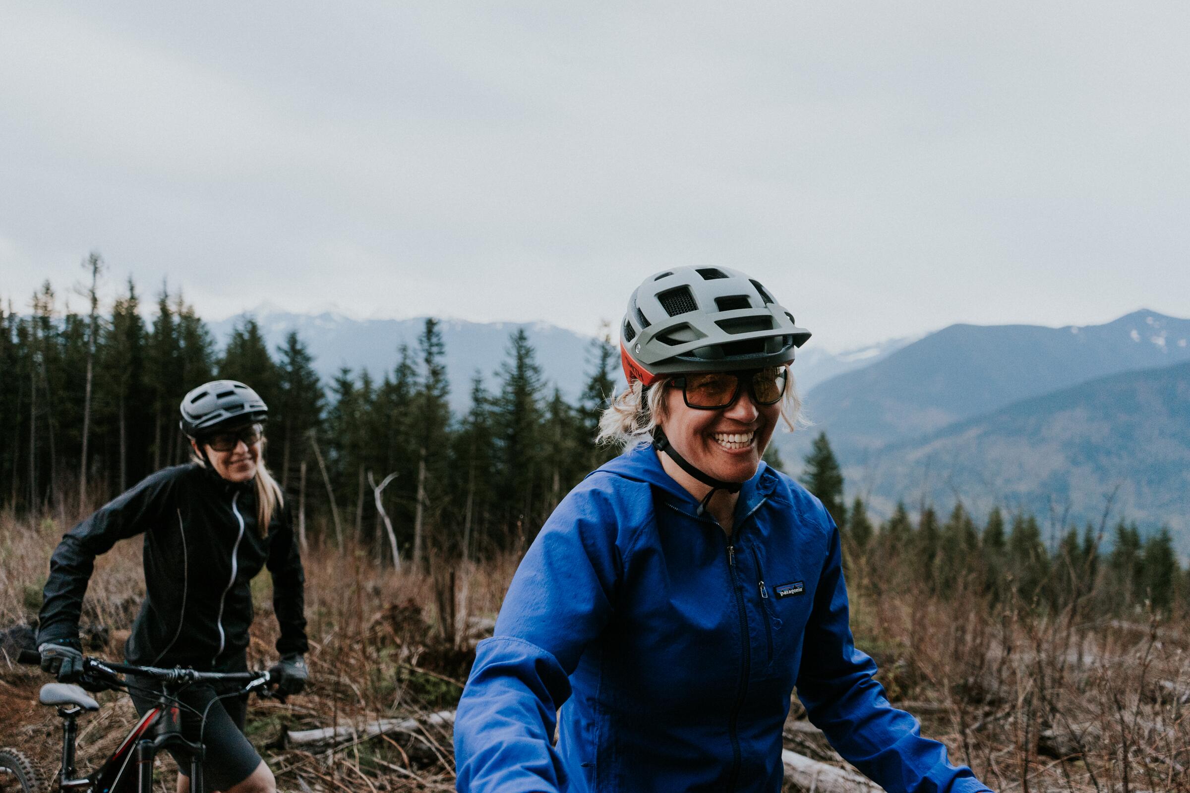
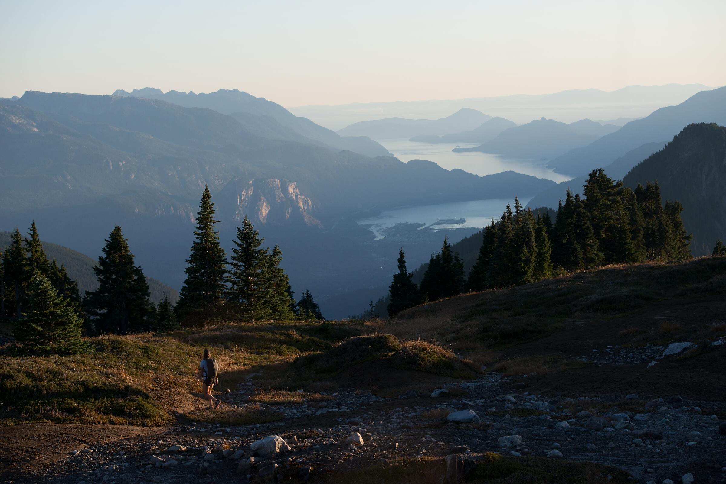
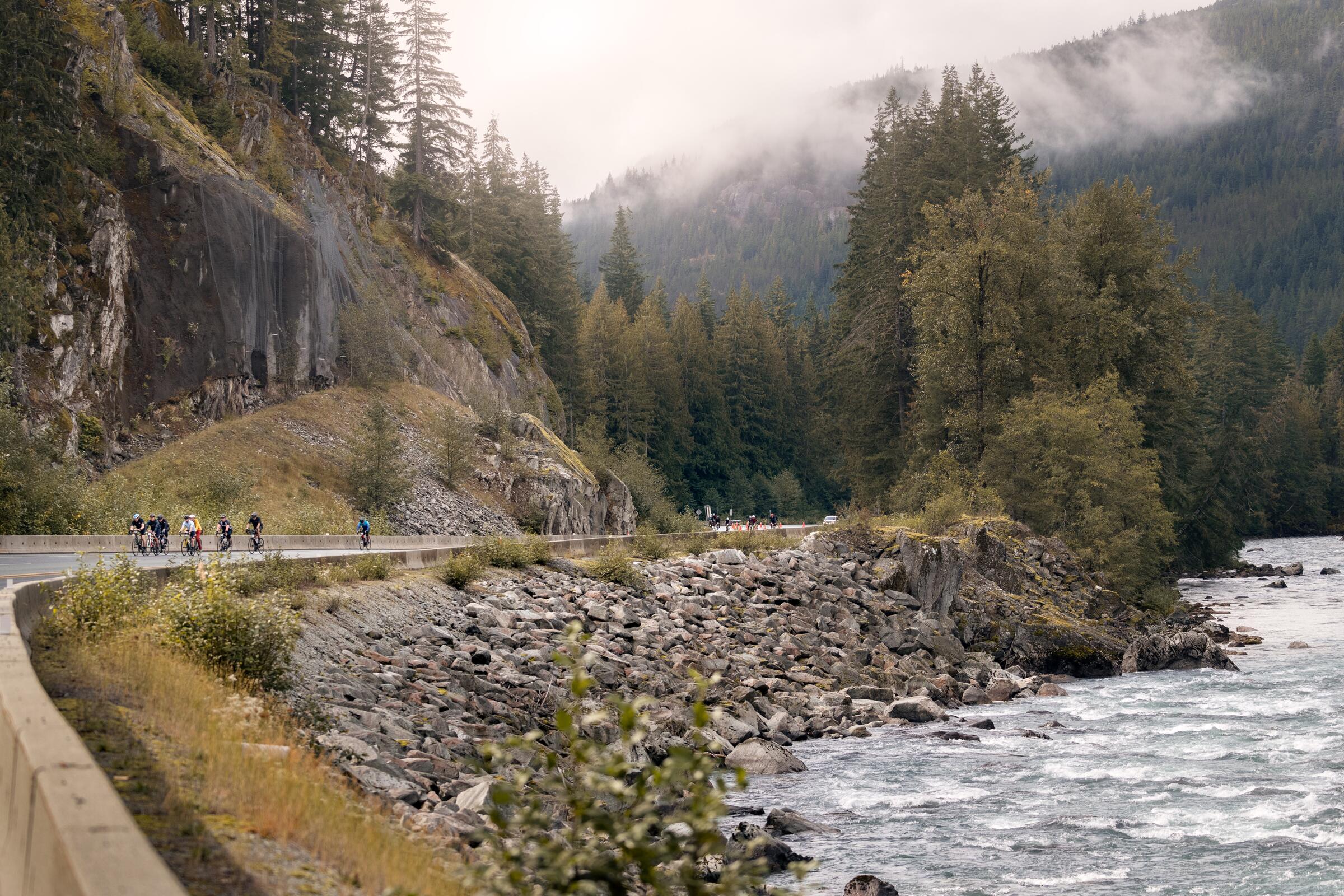
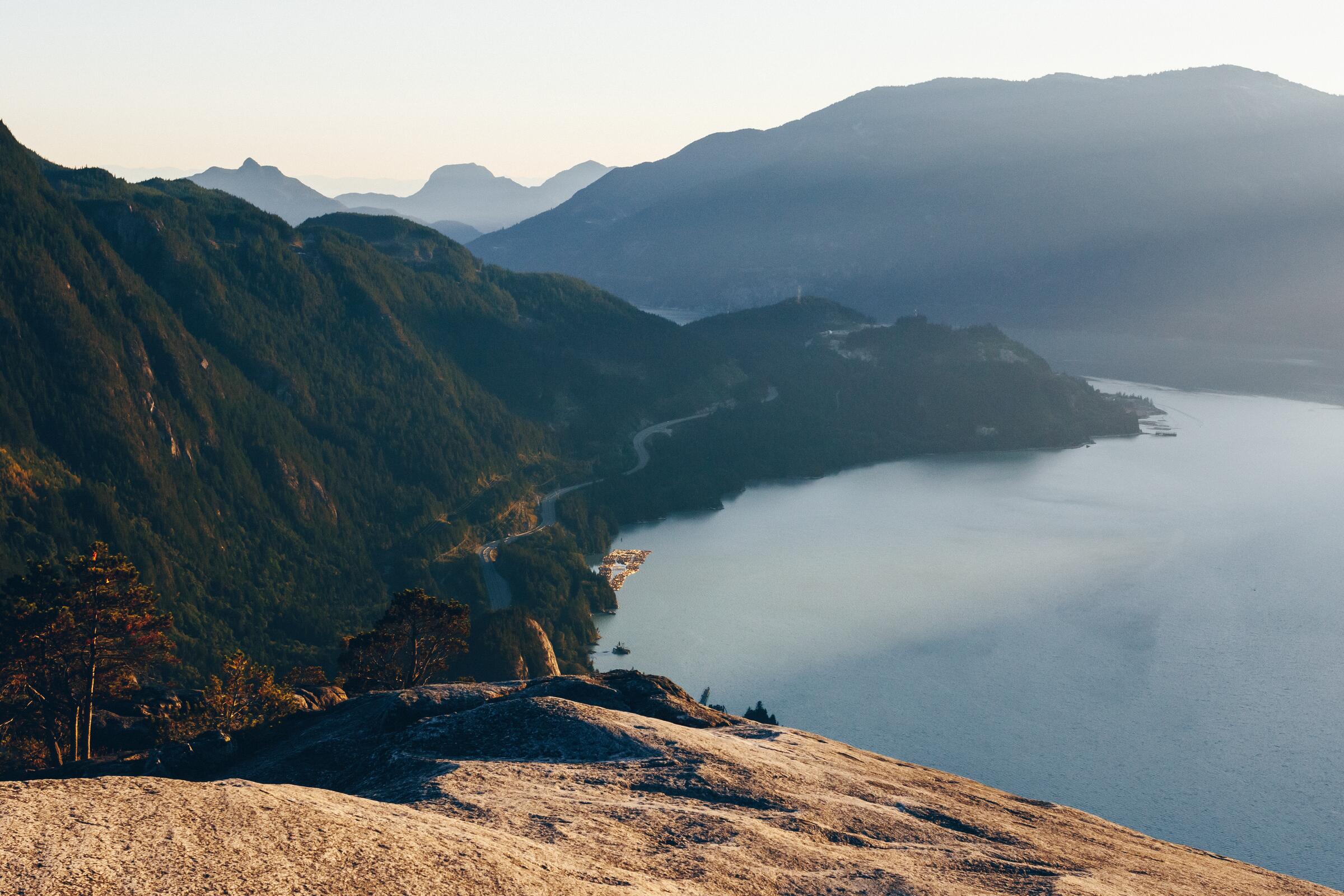
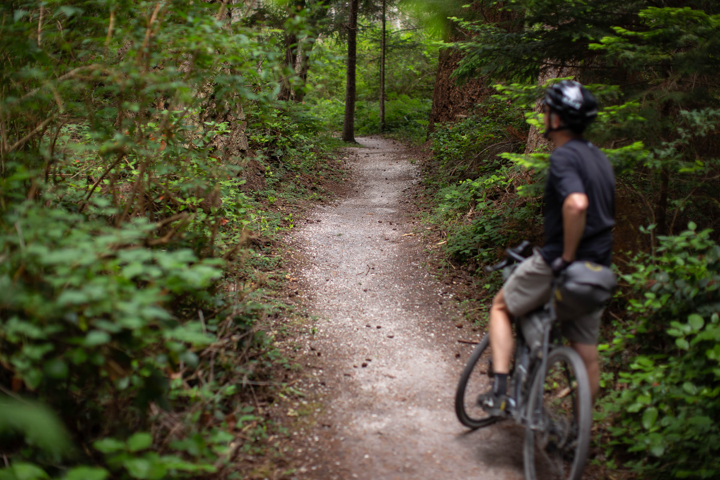
Photo: Heath MoffattVancouver, Coast and Mountains, BCThe Sea to Sky Trail runs 101 km from Squamish through Whistler to Pemberton, tracing a corridor the Coast Salish and Interior Salish peoples travelled long before highways. Nearly half is flowy singletrack, and the rest mixes doubletrack, gravel, and pavement past turquoise lakes, swimming holes, suspension bridges, and even an old train wreck. Climbs come short and punchy rather than long. Resupply is easy in all three towns, and public transit can carry you back to the start.
Stops, map + getting there →
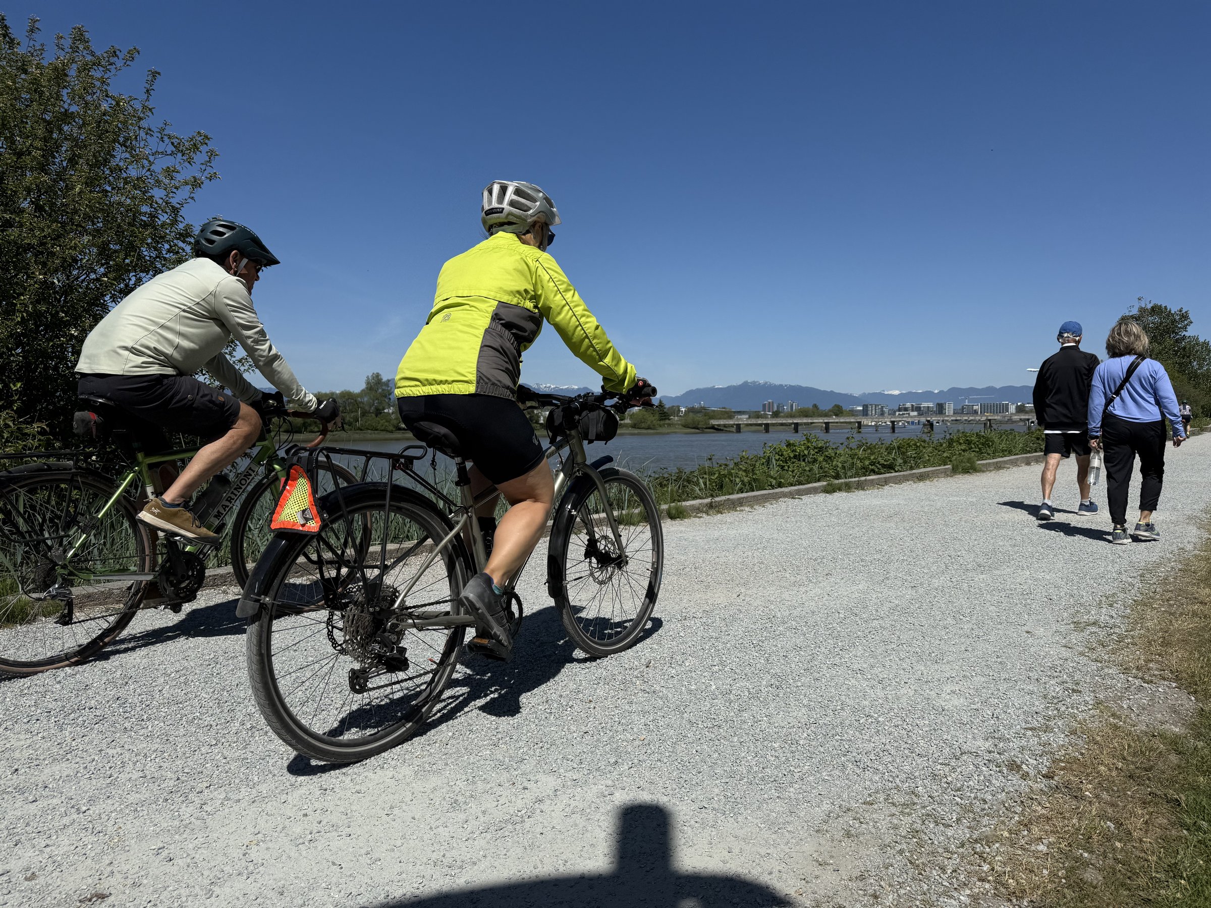
A flat gravel dyke ride between Pitt Meadows and Maple Ridge, 7 km one way, with the river on one side and farmland on the other.

Dyke trails to Pitt Lake: 20 km one way through polder country, eagles and herons for company, rough gravel in stretches.

Around Burnaby Mountain: a 27 km climb-and-descend loop linking Port Moody, Coquitlam, and Burnaby with open views up top.

A tiny free ferry, a flat 10 km island lap: Barnston Island is the Fraser's best-kept cycling secret.

Port Moody to Belcarra and Sasamat Lake: a 26 km forest loop with a swimming lake in the middle and sea views at the far end.

The Blue Heron Loop: 18 km of quiet gravel through Pitt Meadows farmland and forest, where the herons outnumber the cars.

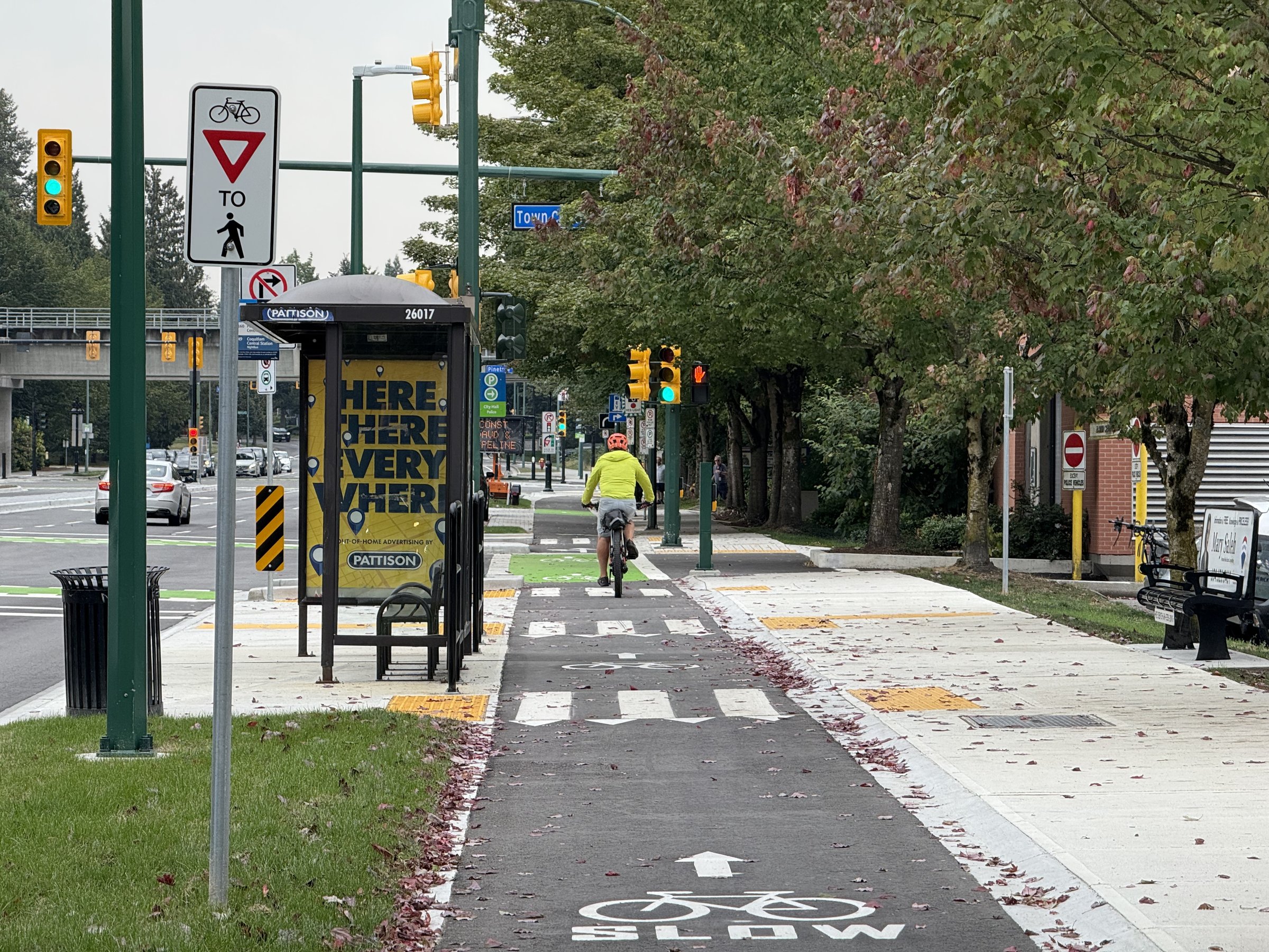
The Burnaby Mountain Urban Trail: 8.5 km of flat, forest-lined path, glowing with colour in fall.

Forest to waterfront to Gastown's brick streets: a 21 km one-way ride across the city, with SkyTrain at both ends.

The Boundary Bay dyke: dead-flat gravel along Delta's shoreline, 15 to 40 km, and some of Canada's best birdwatching.

Lakes, creeks, and forest paths through Burnaby's green heart, in loops of 11 to 29 km.

Waterfront paths and forest singletrack along Burrard Inlet between Burnaby and Port Moody, 4 to 20 km, easy or rowdy as you choose.

Campbell Valley's quiet corner of South Langley: parkland trails, horse country, and wineries, 7 to 27 km.

Brunswick Point's dyke trail near Ladner: flat, quiet, and open to the sea, with wildflowers in summer and raptors year-round.

The Vedder River dyke near Chilliwack: 18 km one way of flat riverside riding from canyon country to the valley floor.

The Central Valley Greenway: 25 km of flat, connected riding from Vancouver through Burnaby to New Westminster, SkyTrain never far.

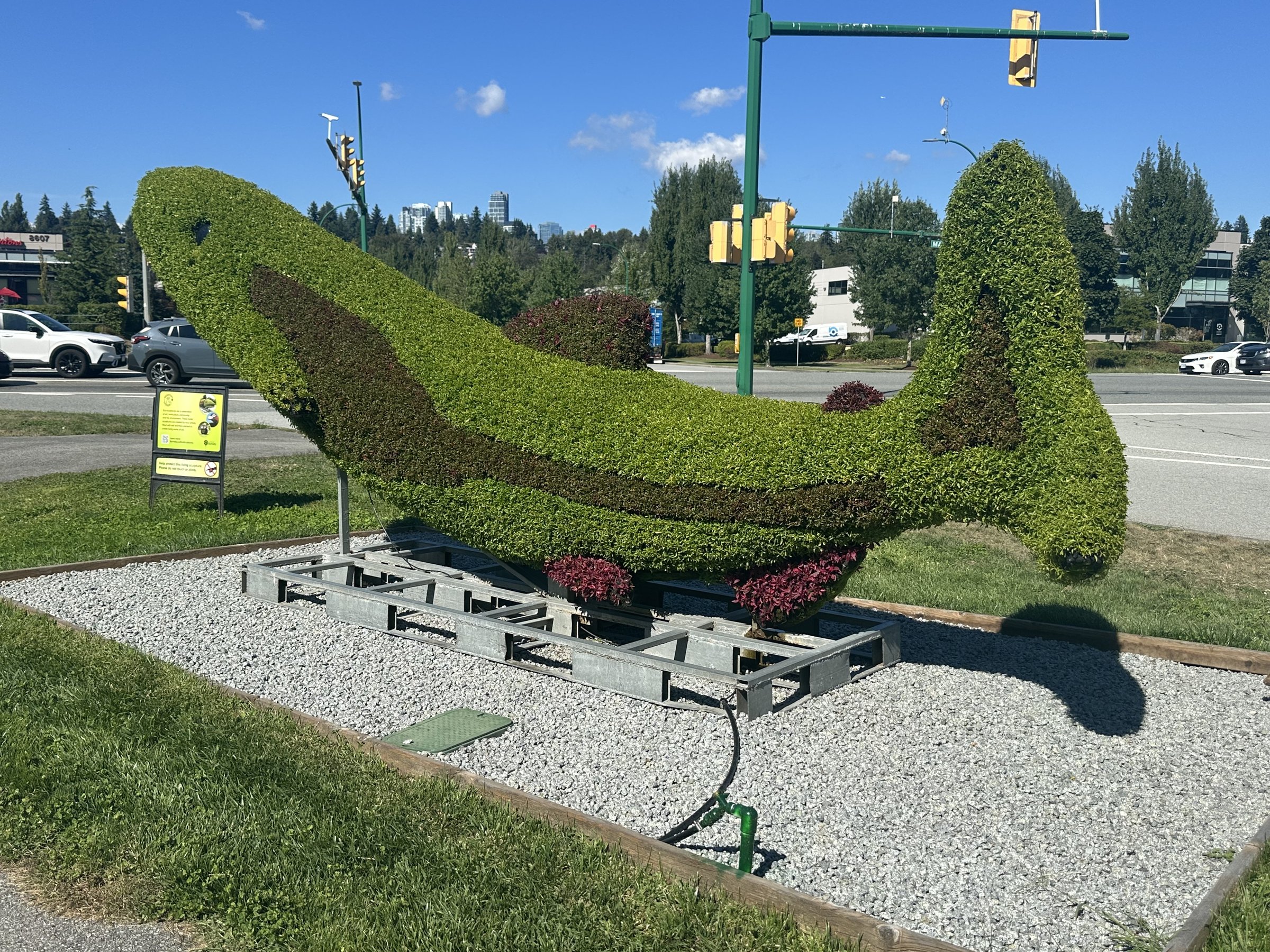
A 15 to 18 km tour of Coquitlam's parks, linking Lafarge Lake, forest paths, and public art, with SkyTrain access.

David's Loop: 18 km of forest, riverside, and parkland between Coquitlam and Port Moody, with a few punchy hills.

A 10 km loop out to Deep Cove: forest, seaside, one honest climb, and doughnuts at the far end.

The Delta Watershed's forest trails: 8 to 35 km of quiet gravel and easy singletrack hiding between Delta and Surrey.

Abbotsford's Discovery Trail: east and west halves totalling up to 40 km of parkland and farmland riding.

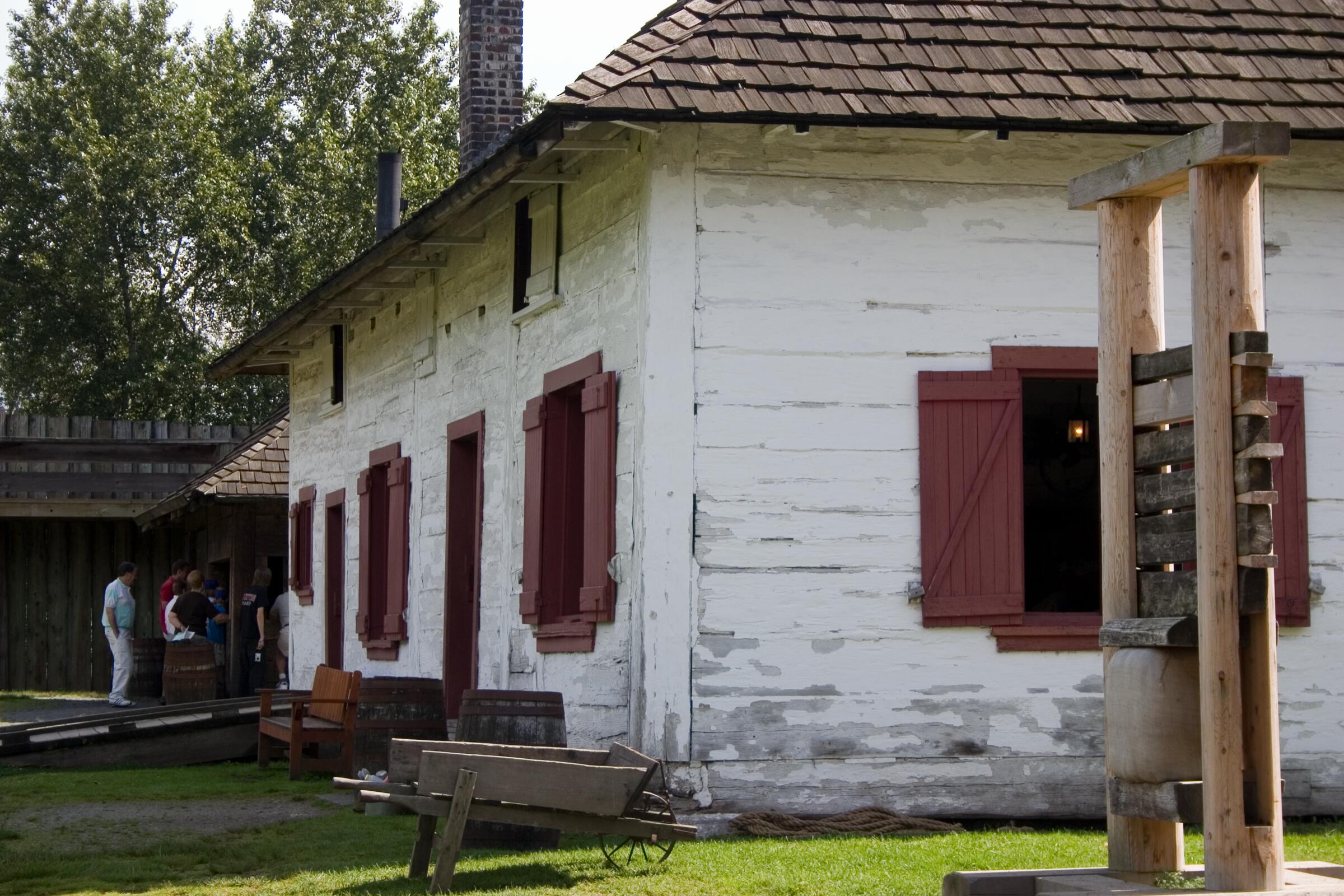
The Fort to Fort Trail near Fort Langley: flat riverside gravel between historic sites, 12 to 30 km with a Brae Island add-on.

A 35 km riverside loop linking Burnaby, Vancouver, Richmond, and New Westminster along the working Fraser.

A quiet, flat 6 km riverside out-and-back on the Fraser between Burnaby and Vancouver, easy for any rider.

A 24 km seaside loop linking White Rock's promenade with Crescent Beach, mixing quiet roads and gravel paths.

The Glen Valley Glide: 30 km of quiet farm roads and rail corridor along the Fraser between Fort Langley and Abbotsford.

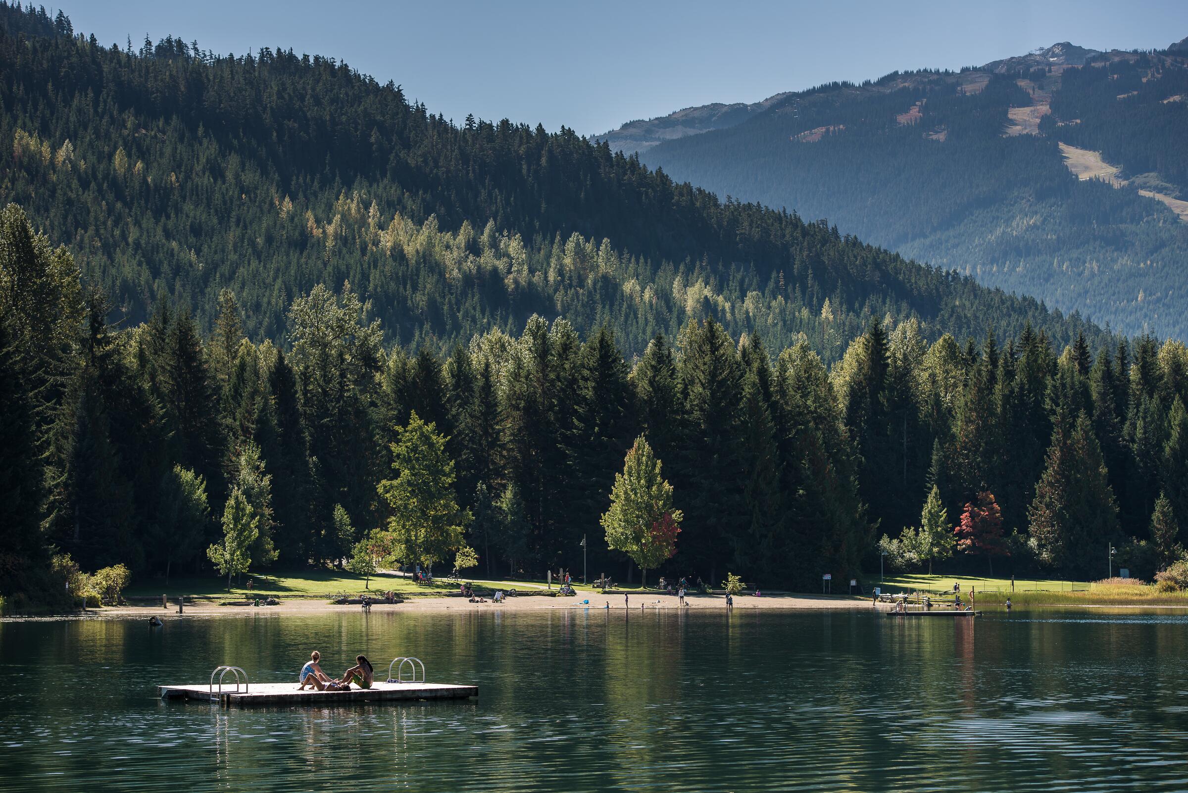
Whistler's Valley Trail: a paved, nearly flat lake-to-lake loop past Lost, Green, and Alta Lakes, extendable to a five-lake tour.

A short, flat seaside ride on Tsawwassen First Nation land, 4 km each way, with herons living up to the name.

North Vancouver's Green Necklace: a 7 km greenway loop around the city's parks, public art, and heritage streets.

Surrey's urban forest: Green Timbers and Tynehead parks linked by greenway, 2 to 18 km of quiet, shaded riding.

The Harbour Loop: 32 km around Burrard Inlet's working waterfront, linking Vancouver and North Vancouver by bridge and seaside path.

Ride 4 km straight out to sea: the Iona Jetty points into the Strait of Georgia, flat all the way, birds everywhere.

The north Sunshine Coast around Powell River and Lund: ferry-to-ferry roads, Inland Lake's accessible loop, and options to 180 km.

Two islands, two personalities: Texada's gravel hills and Savary's white-sand lanes, joined by ferry hops from Powell River.

Powell River (Tiskwat) by bike: the seawalk, the historic Townsite, and loops of 1.5 to 16 km, ocean never out of sight.

Egmont to Secret Cove on the upper Sunshine Coast: hilly forest roads, coves, and the churning tide race at Skookumchuck Narrows.

Sechelt and Halfmoon Bay rides from 2 to 50 km: Porpoise Bay, Smuggler Cove, and quiet forest roads above the water.

The southern Sunshine Coast from Davis Bay to Gibsons and Roberts Creek: seaside roads, forest, and a brewery at the end.

Gibsons by bike: the Ocean Beach Esplanade, quiet forest roads to Port Mellon, and a brewery in town, 4 to 55 km.

Goin' to Bowen: a short ferry from Horseshoe Bay to an island of forest roads, swimming lakes, and viewpoints, 2 to 32 km.

The Ladner Loop-de-Doop: 38 flat km of riverside, seaside, and farmland around Delta, birds and history included.

Lynn Creek's forest trails: 4 to 9 km of gravel and easy singletrack along the creek in North Vancouver.

The Matsqui Meander: flat Fraser-side riding on Abbotsford's old rail corridor, from 7 km up to a 30 km loop.

Ladner's Millennium Trail: 6 flat km along the river dyke, quiet water, and old fishing-village history.

Flat rail-trail and dyke riding to Minnekhada's marshes: 9 to 25 km between Coquitlam and Port Coquitlam.

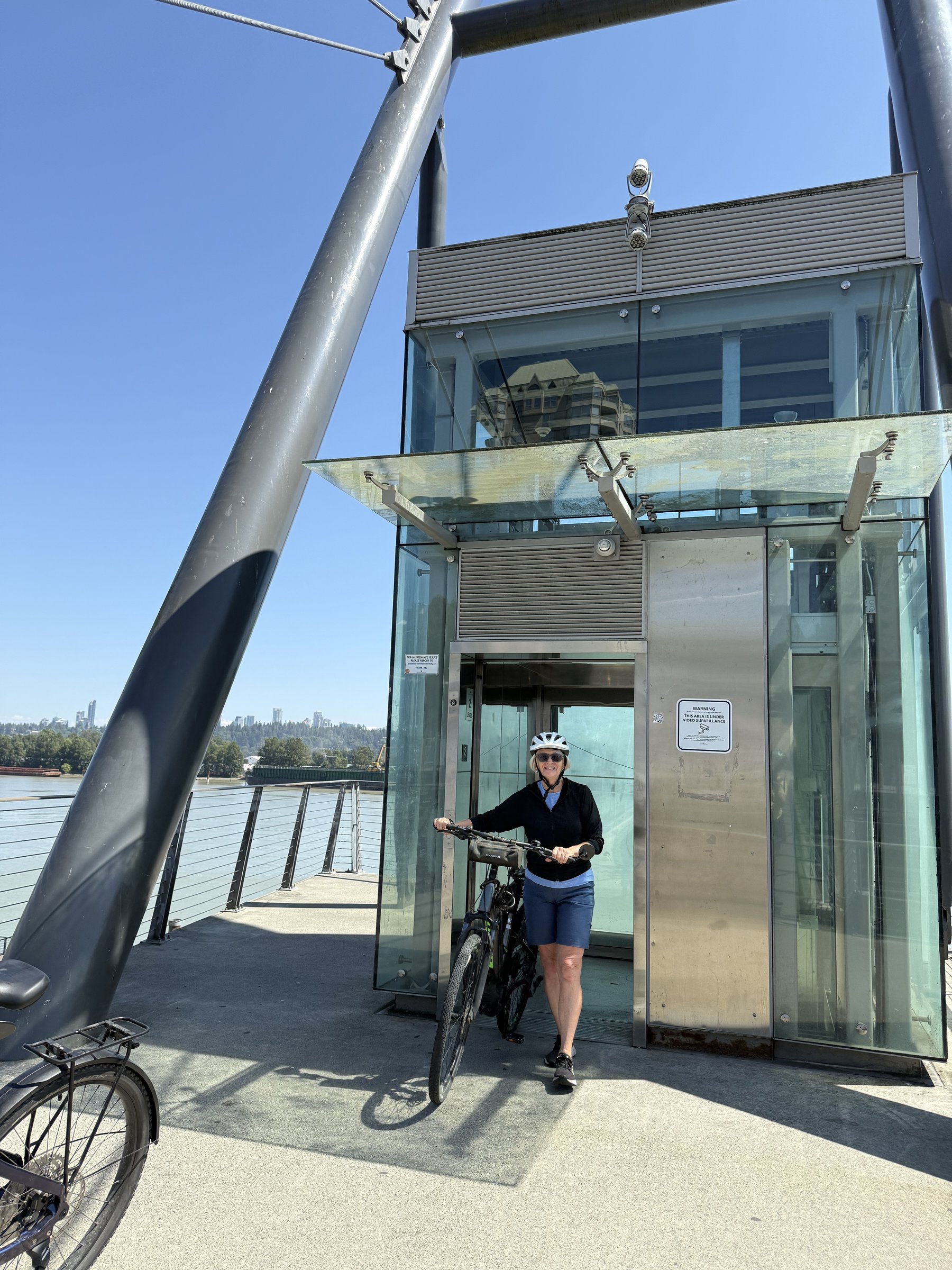
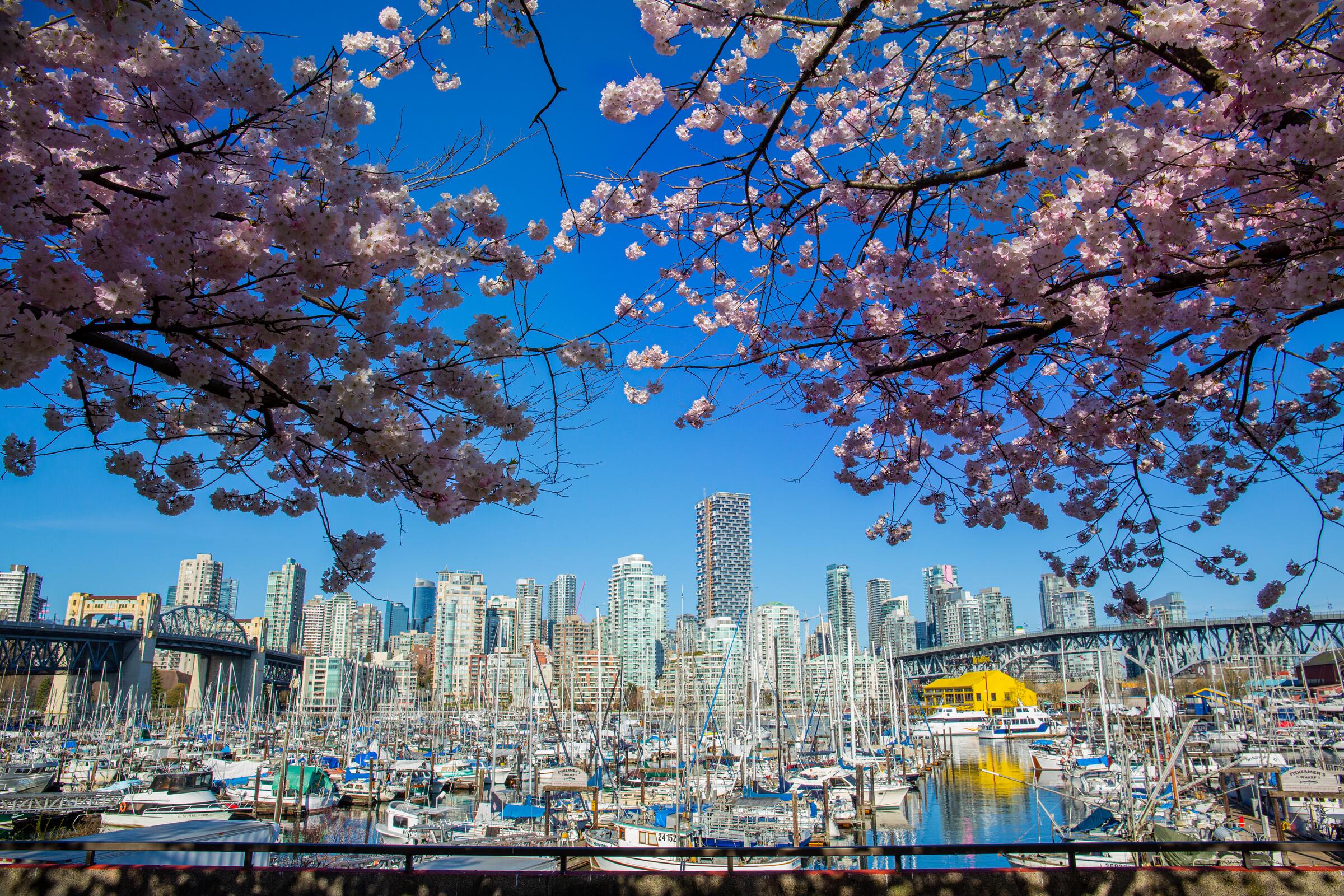
A 15 km loop of New Westminster's riverfront, parks, and heritage streets, pink with cherry blossoms in spring.

The Nicomekl's quiet riverside forest in Langley: a 7 km loop plus flood-plain spur, birds and history along the banks.

The Spirit Trail hugs the North Shore waterfront for 15 km, from the shipyards toward West Vancouver, flat and full of views.

Pacific Spirit Park's 16 km forest loop: quiet gravel trails under big trees, minutes from the city.

The Pitt River Greenway: 11 flat km of old rail line beside river and farmland, with the mountains standing over everything.

The PoCo Trail circles Port Coquitlam on flat riverside paths, 25 to 35 km of parks, dykes, and old rail line.

New Westminster's Quay and Pier Park: a short, flat riverfront roll of 2.5 km each way, museums and market included.

A 20 km city loop climbing to Queen Elizabeth Park, Vancouver's highest point, for gardens and skyline views.

Queensborough's flat river loop between New Westminster and Richmond, with a little ferry crossing and quiet waterfront the whole way.

The Ridge Meadows Circle: a flat 30 km lap of Pitt Meadows and Maple Ridge on dykes and old rail corridors, birds everywhere.

The Ridgeway Loop: 24 km of Vancouver's quiet bikeways and parks, strung with public art.

The Roller Coaster earns its name: 40 hilly km through quiet Abbotsford farmland on and off an old rail corridor.

Sea Island beyond the airport: 10 to 15 km of riverside paths and dirt trails in Richmond's quietest corner.

Surrey's Semiahmoo Trail: 5 km of flat, quiet forest path on one of the area's oldest travel corridors.

The South Langley Trail near Aldergrove: 25 km one way of forest, farmland, and winery country, loopable or shuttled.

South Surrey's quiet corners in one 21 km loop: waterfront, river trails, and forest parkland with good birdwatching.

Southlands: a quiet 12 km amble through Vancouver's horse country near the Fraser, where the city forgets to be a city.

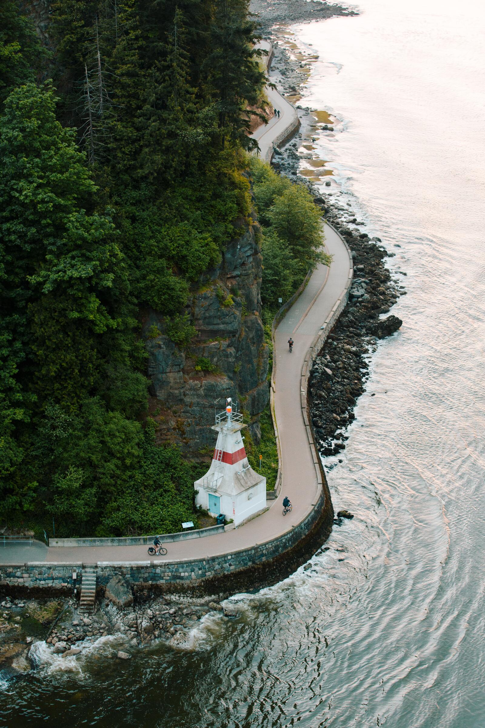
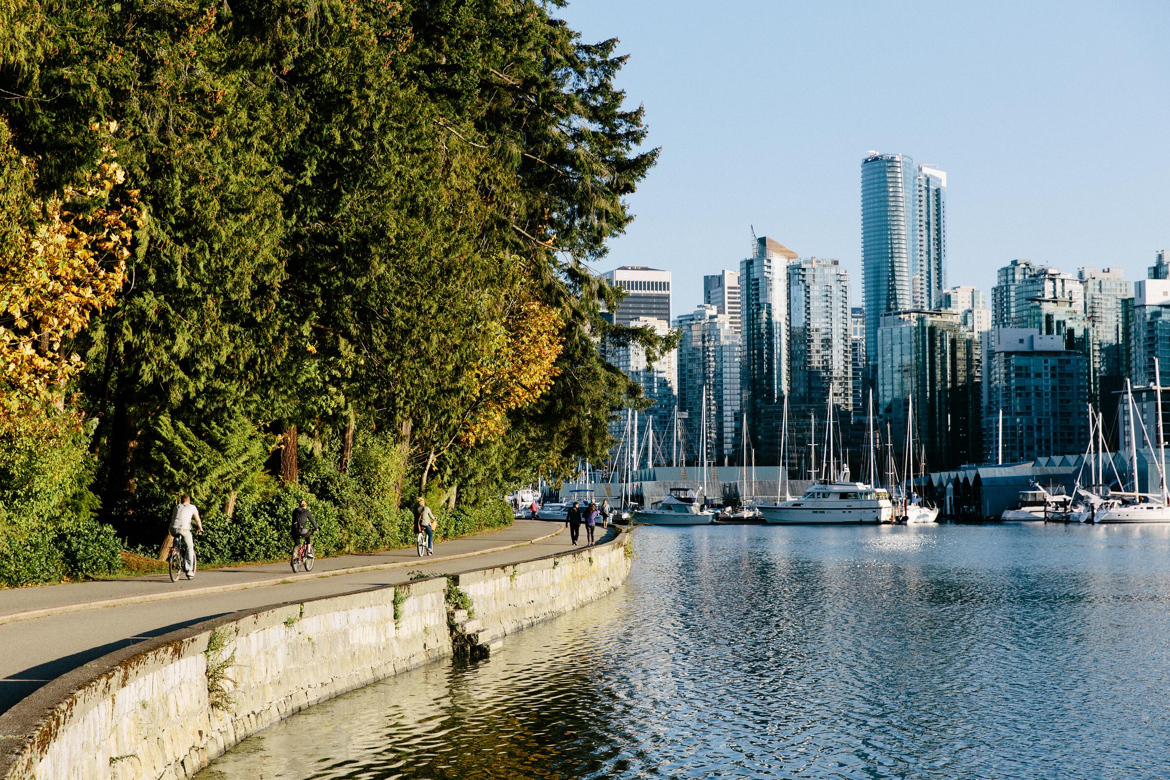
The Stanley Park seawall: 10 km around Canada's most famous urban park, ocean on one side, thousand-year forest on the other.

Creekside forest from Burnaby to Coquitlam: 13 km along Stoney Creek and the Brunette River, salmon streams and SkyTrain at both ends.

The Sumas dykes near Abbotsford: 13 flat km of quiet farmland gravel where a lake used to be.

Surrey Shores: Crescent Beach, Elgin Park, and the Serpentine Fen in one flexible outing of 4 to 30 km, binoculars advised.

The Three Bridges big loop: 50 km of riverside rail-trail and parkland linking Port Coquitlam, Surrey, and Pitt Meadows.

The Three Bridges loop by its northern line: 45 km of riverside paths and quiet roads through Coquitlam and Pitt Meadows.

Coquitlam's town centre to its river: a 9 km forest-and-parks out-and-back, golden in fall.

The UBC Explorer: 9 to 15 km around the campus peninsula's museums, gardens, and public art.

The City Circle: 20 km around Vancouver's seaside, waterfront, and historic core, pink with blossoms in spring.

Vancouver's beach parade: 9 flat km along the sand from beach to beach, public art and mountain views included.

Vancouver's Arbutus Greenway: a flat former rail line through the city's west side, 8.5 km one way, ideal for families.

Vancouver to Steveston: 22 km each way along old rail corridor and the Fraser, ending at the historic fishing harbour.

The BC Parkway runs 18 km beside the SkyTrain from Vancouver through Burnaby to New Westminster, flat and easy to hop on anywhere.

A 35 km city loop pairing Burnaby's waterfront views with Vancouver's Adanac bikeway, public art and history along the way.

The Seaside Greenway: 24 km of Vancouver waterfront in one loop, with a tiny ferry crossing to link the shores.

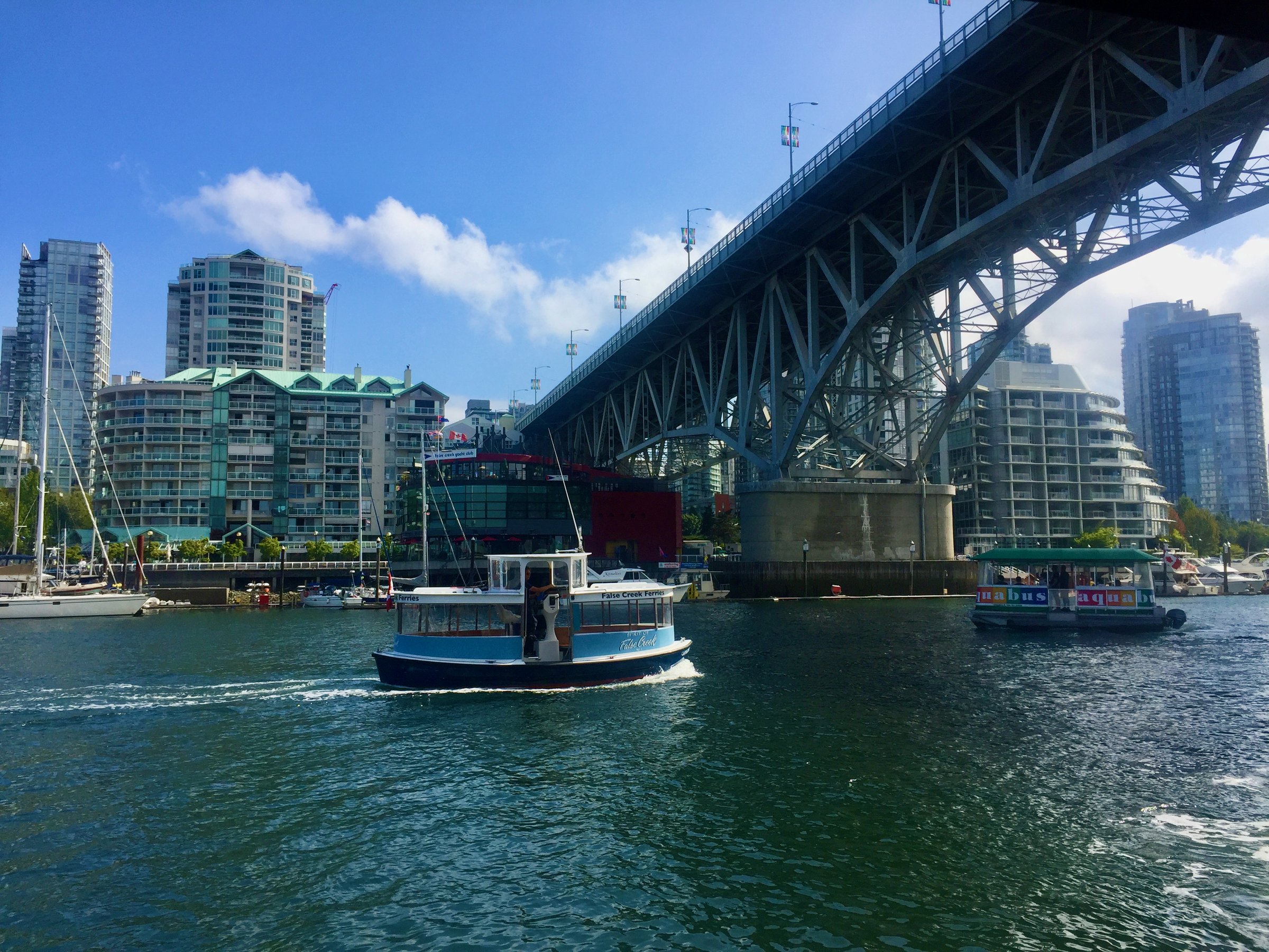
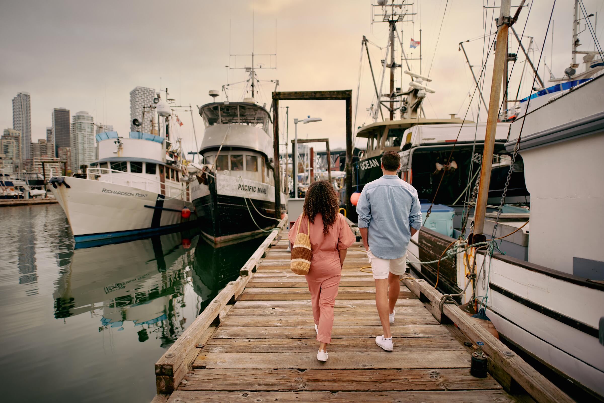
The False Creek loop: 10 flat km around Vancouver's inner harbour, with Granville Island, tiny ferries, and public art all the way.

New Westminster's historic streets and Queens Park in a 3 to 16 km ramble, at its prettiest in fall.

The Seymour Valley: 24 to 29 km of forest riding in North Vancouver, from smooth car-free parkway to rough river trails.

Mosquito Creek's short creekside ride in North Vancouver: 2.5 to 8 km of old rail line and shady trail.

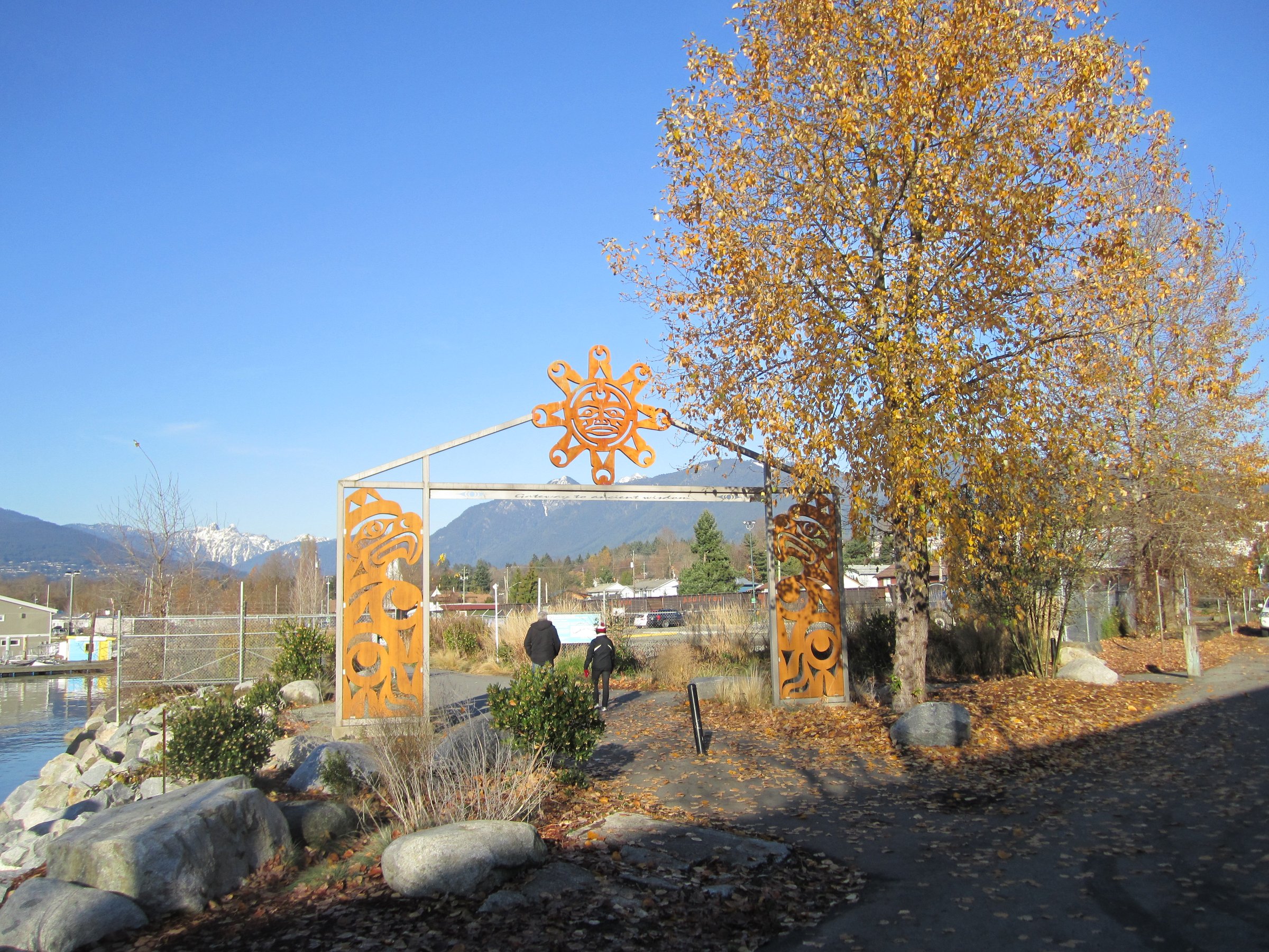
Port Moody's Shoreline Trail: 6 to 9 km of flat waterfront path around the head of the inlet, herons and mudflats alongside.

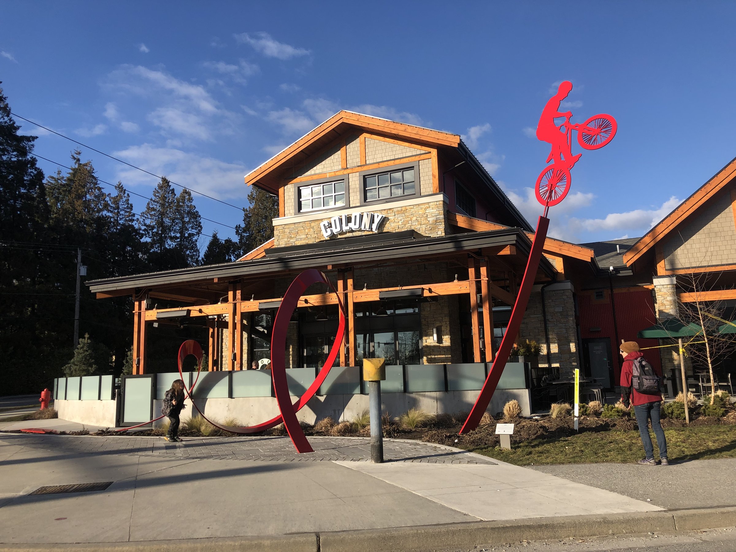
Colony Farm's flat gravel paths between Coquitlam and Port Coquitlam: old farmland, community gardens, and busy birdlife.

A 38 km lap of Richmond on flat dyke and rail corridors, with river, sea, historic Steveston, and world-class birdwatching.

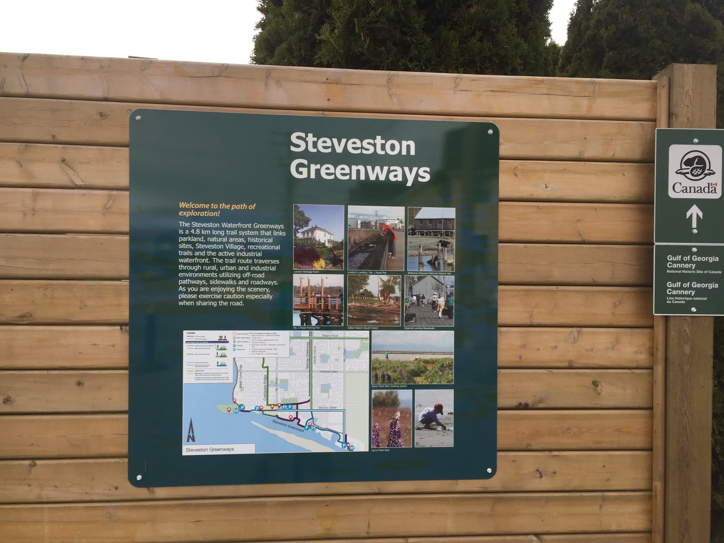
Richmond's Railway Greenway: a flat former rail line running 6 to 23 km down to historic Steveston village.

Richmond's West Dyke and Middle Arm: 11 flat km with the marsh on one side, mountains across the strait, and airport floatplanes overhead.

Steveston's South Dyke Trail: 10 flat km along the Fraser's south arm, ending among the village's fishing-boat history.

Bike the Bridge: a flat 20 km Vancouver-North Vancouver loop crossing high on one bridge and returning by SeaBus below.

Friesens Ride: a quiet 24 km waterfront loop through White Rock and South Surrey's seaside parkland.

Portside follows Vancouver's working waterfront for 10 km each way, past gardens, parks, and harbour views.

The Drive: 9 to 16 km through East Vancouver's most storied streets, breweries and murals included.

The Vedder River trails near Chilliwack: flat gravel loops of 7 to 20 km, eagles overhead and salmon runs in season.

West Vancouver's seaside hills: a 30 km loop of coast views, forest, and real climbing, with a ferry crossing in the mix.

Westham Island: a one-lane wooden bridge, quiet farm roads, a winery, and the bird sanctuary at the end of the lane.

The White Rock and South Surrey big loop: 32 km linking the pier promenade, forest parkland, and river valleys.

Rally day one: 160 km from West Vancouver across the water to the island, rolling terrain with 1,200 m of climbing.

The gentler day-one rally option: 150 km with less gravel and about 950 m of climbing.

The easiest island escape from Vancouver: a 28 km Bowen Island loop of quiet roads and gravel, twenty ferry minutes from Horseshoe Bay.

The gentler Bowen Island loop: 22 km of island roads and gravel, made for an unhurried ferry day trip.

An easy 20 km spin along the Capilano River in West Vancouver, best in fall when the salmon are running.

One of the North Shore's prettiest rides: 27 km around Deep Cove with mossy trails, open fields, and flowy singletrack.

A mellow 50 km wander through Vancouver-area parks and riversides, built for sunny days and unhurried breaks.

Stanley Park to the North Shore and back: 37 km of seawall, forest, and bridge views with moderate climbing.

A 56 km tour of North Vancouver's gravel highlights, with over 1,000 m of climbing to earn the descents.

A 33 km North Van shakedown through hidden neighbourhood connectors, singletrack, steep climbs, and fast descents.

An easy 28 km loop through Upper North Vancouver's leafy streets and gravel paths, gentler than the North Shore's reputation.

An overnighter that starts at your doorstep: 105 km out and back from Port Moody to camp beneath the Golden Ears.

The Sea to Sky Trail as an out-and-back: Squamish to Whistler and home again, 96 km of forest singletrack and swimming lakes.

A 67 km Sunshine Coast overnighter from the Langdale ferry, hilly paved riding with a night under the trees.

Ten lakes, one loop: a 103 km gravel overnighter from Powell River with swimming, fishing, and camping around every second bend.

A 772 km, two-week traverse of BC's biggest, wildest range, from Harrison Lake's fjord country to the Chilcotin's last slice of Wild West.

The BC Bike Race's famous loam, minus the race: 101 km of singletrack-heavy riding from Earls Cove to Langdale, one ferry from Vancouver.

An 84 km taste of Powell River's trail riches: loamy singletrack, log bridges, waterfalls, and cabins to sleep in along the way.

The Powell River Sampler with the Walt Hill cabin climb built in: more climbing, bigger views, same loamy trails.

Ride up one river valley, float home down the other: an overnight bike-and-raft loop through Squamish Nation territory.

Texada's spine, end to end: 144 km of gravel, punchy climbs, ocean views, and camping at Anderson Bay, no bears, just deer.

The 1,164 km flagship traverse of southern BC, Fraser Valley to Fernie, on historic rail trails, gravel, and the occasional singletrack surprise.

Ferry to trail: the flat 61 km cyclists' link from Tsawwassen terminal to the Trans Canada Trail at the Golden Ears Bridge.

Chilliwack Lake down the valley to Thurston Rec Site: 29 km of gravel Trans Canada Trail, one of the Fraser Valley's livelier sections.

Cultus Lake to Tamihi Rec Site: 17 km of Trans Canada Trail along the Chilliwack River, greenway at both ends, hills in the middle.

Langley to Clayburn on the Trans Canada Trail: 28 km along the Fraser's Matsqui dykes to a historic brick-making village.

Squamish cycle loops of 47 to 79 km: Howe Sound, three rivers, and the gravel-and-path network between them.

Chilliwack's Rotary Loop: 12 km around the Great Blue Heron Nature Reserve, boglands, and the Vedder River.

A 92 km dyke tour of the Fraser Valley's rivers: Sumas, Vedder, and the heron reserve, flat nearly the whole way.

Vancouver's sneaky gravel loop: Stanley Park, Kits and Jericho beaches, Pacific Spirit's forest trails, and the Arbutus Greenway home.

Over the Lions Gate and up: a 55 km North Shore mixed-terrain ride climbing dirt to skyline views, ending at the Cleveland Dam.

The Seymour Valley staple: 69 km from downtown to the Seymour Dam and back on Fisherman's Trail through old-growth forest.

A hardy 124 km lap of Texada Island: quiet gravel, relentless steep pitches, and almost 2,900 m of climbing.

A rolling 84 km Fraser Valley day ride between Bakerview and historic Fort Langley on quiet paved farm roads.

The 4 Ferry Odyssey: Campbell River to Powell River via Quadra, Cortes, and a Lund water taxi, 165 km of island-hopping.

The first day of a ride across Canada: 176 km from Vancouver to Hope through the Fraser Valley flats.

A 1,300 km gravel odyssey across southern BC, from the Coast Mountains through the Okanagan to the Kootenays, with over 17,000 m of climbing.

Day one of the Vancouver-to-Canmore club tour: 115 km of mostly flat, mostly paved riding out through the Fraser Valley.

The BC Randonneurs' spring tradition: a 102 km populaire from Vancouver, flat, sociable, and timed for cherry blossom season.

A 159 km randonneur populaire out of Langley, rolling through Fraser Valley farm country with 800 m of gentle climbing.

The famous Pacific Coast route begins here: 65 km from Vancouver to the Peace Arch border, first leg of 3,000 km to Mexico.
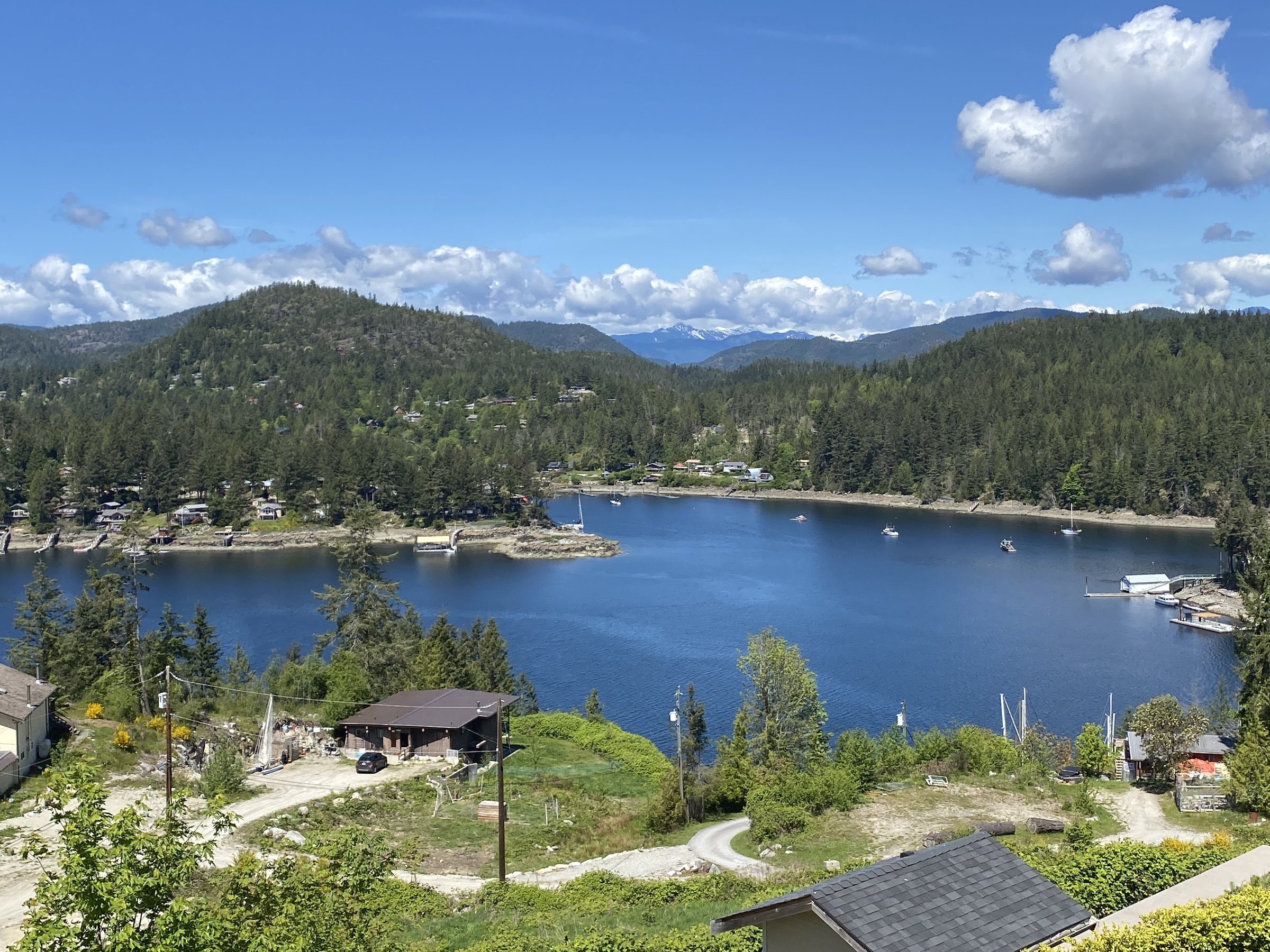
The Vancouver Crossing Loop: 503 km of trails and ferries circling the Salish Sea, island to mainland and back.
We're interested in learning more about where you love to ride. Drop us a note and tell us what you publish.
hello@bccycletourism.ca