BC Cycle Tourism Society

Love Machine

individual route creator Visit Love Machine ↗

Love Machine is a Vancouver-based gravel cycling project run by two friends, Max and Cam, as a side project — not a brand, shop, or club. It publishes free, downloadable GPX routes across southwestern British Columbia, with a stated goal of keeping gravel cycling welcoming rather than gatekept.

Their BC collection

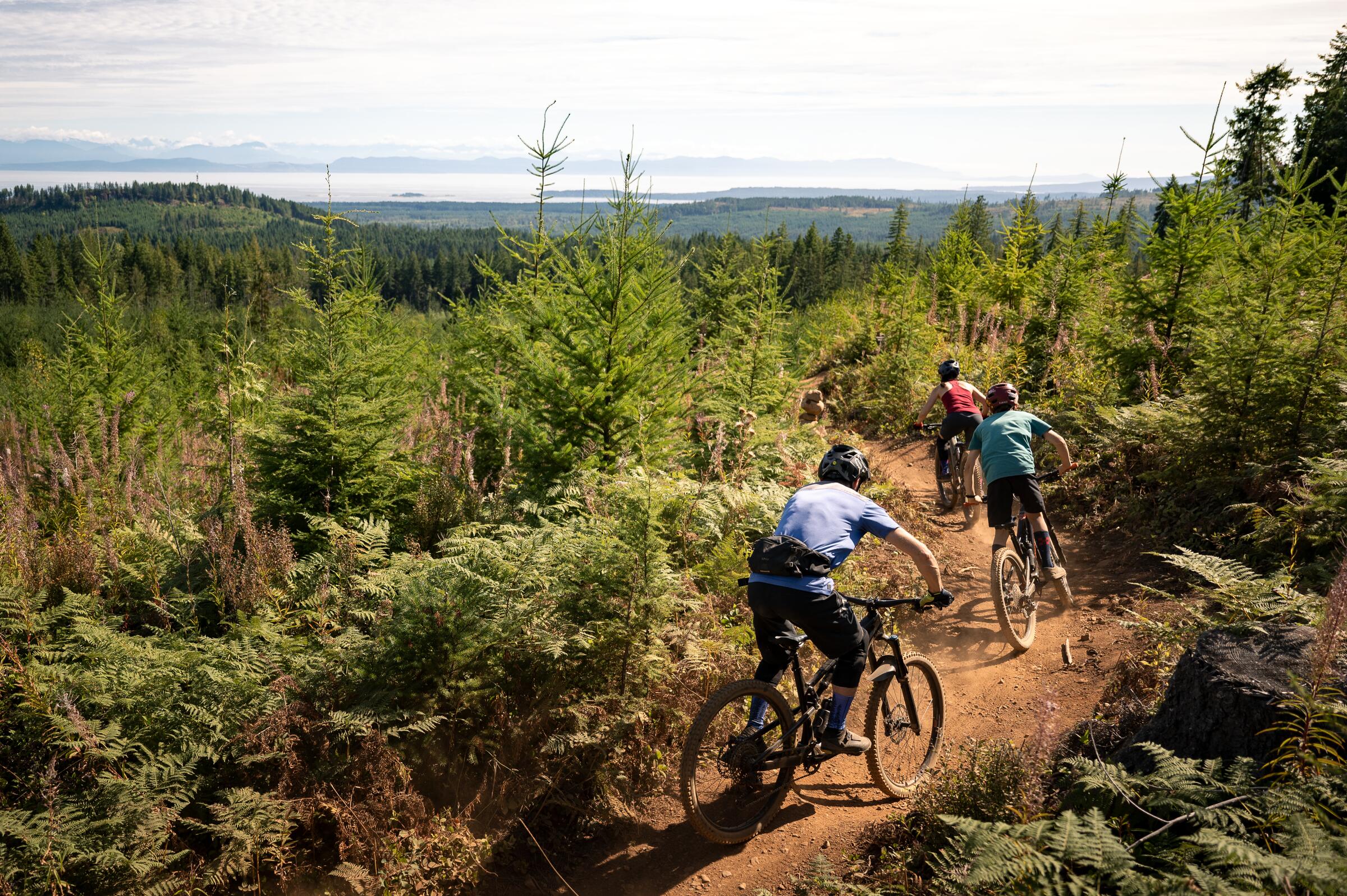
Love Machine's routes cluster around Metro Vancouver, the North Shore, and the Sea-to-Sky corridor, from short urban gravel loops in Burnaby, Richmond, and North Vancouver to bigger days in Squamish, Golden Ears, and Cultus Lake, plus a Sunshine Coast overnighter and two Vancouver Island loops near Comox and Campbell River. Routes run 40-110 km on a mix of forest service roads and singletrack, often borrowing flow trails from the North Shore and Squamish mountain bike networks.
All 16 BC rides#

Open any ride for its welcoming stops and how to get there. The full writeup, map, and directions live on Love Machine's website.

Vancouver, Coast and Mountains · 14

Photo: Reuben KrabbePemberton, BC
Afterschool Special
43 km · 429 m up
ModerateComfortable for mostMixed surfaceSome climbing

A 43 km, mostly flat gravel loop west of Vancouver, running along the beach, through old growth forest, and down to the Fraser River. Aimed at riders new to gravel, with options to extend via Pacific Spirit Park or Stanley Park.

Stops, map + getting there →
Photo: Craig BarkerPemberton, BC
Burnabop
43 km · 666 m up
AmbitiousComfortable for mostMixed surfaceLots of climbing

A 42 km loop through Burnaby linking quiet back roads, urban singletrack, and hidden gravel trail entrances through colourful deciduous forest. About half unpaved, low-key with easy bail-out options.

Stops, map + getting there →
Photo: Grant HarderVancouver, BC
Burnaby Orbit
48 km · 620 m up
AmbitiousComfortable for mostMostly gravelLots of climbing

A 48 km loop connecting the Trans Canada Trail on Burnaby Mountain with the gravel trails around Burnaby Lake, on mostly smooth, well-graded surfaces. Best ridden clockwise, with a detour option to Port Moody's breweries and cafes.

Stops, map + getting there →
Photo: The Fraser Valley GroupAbbotsford, BC
Cultus Shock
73 km · 551 m up
AmbitiousComfortable for mostMostly gravelChunky gravelSome climbing

A 73 km route near Abbotsford following the Vedder River past local food stops, then climbing forest service roads before descending to Cultus Lake. An optional shortcut trims it to about 50 km.

Stops, map + getting there →
Photo: The Fraser Valley GroupAbbotsford, BC
Cypress Side Quest
55 km · 1166 m up
AmbitiousCalm streets, some sharingMixed surfaceMax climbing

A 55 km loop connecting Cypress Provincial Park to Horseshoe Bay in West Vancouver, stitching together the area's scattered gravel and dirt sections amid mostly paved roads. Includes narrow community-built singletrack connectors with short hike-a-bike sections.

Stops, map + getting there →
Photo: BLURRD CREATIVAgassiz, BC
Discomfort Zone (Thrill Seeker Version)
60 km · 1190 m up
AmbitiousComfortable for mostMixed surfaceLots of climbing

A 60 km loop from Chinatown in Vancouver to the North Shore, taking on classic North Shore mountain bike descents (Ned's and Bobsled) before mellowing into smoother gravel back to the Second Narrows. Minimum 48 mm tires recommended.

Stops, map + getting there →
Photo: Darren RobinsonVancouver, Coast and Mountains, BC
Golden Ears Hundo
101 km · 785 m up
ModerateComfortable for mostMostly gravelSome climbing

A 100 km gravel loop starting and finishing at the Lafarge Lake–Douglas SkyTrain station, reachable without a car. Flat pea-gravel dyke riding through Coquitlam and Pitt Meadows leads into Golden Ears Provincial Park, with a turnaround near North Beach and a climb past Mike Lake on the way back.

Stops, map + getting there →
Photo: Dolf VermeulenGibsons, BC
Coastal Croissant
53 km · 1688 m up
ChallengingCalm streets, some sharingMostly gravelMax climbing

A 53 km gravel day trip on the Sunshine Coast, mixing flowy singletrack with forest service road and paved climbing. Finishes at Persephone Brewing before the ferry back to Vancouver.

Stops, map + getting there →
Photo: BC Ale TrailGibsons, BC
Riverview Loop
52 km · 417 m up
ModerateComfortable for mostMostly gravelSome climbing

A 52 km, mostly flat gravel loop starting and finishing in Port Moody, combining pea-gravel dykes, forest paths, and short singletrack. Low-elevation and rideable year-round; can be linked with Burnaby Orbit or Golden Ears Hundred for a longer day.

Stops, map + getting there →
Photo: Andrew BeaumontHarrison Hot Springs, BC
North Van Local's Lap
41 km · 786 m up
AmbitiousComfortable for mostMixed surfaceLots of climbing

A 41.5 km loop in North Vancouver combining quiet roads, gravel paths, and forest service roads, about 40% unpaved. Ridden clockwise from Waterfront Park to front-load the climbing, finishing near the Shipyards breweries.

Stops, map + getting there →
Photo: Yvonna ChowMadeira Park, BC
Powerhouse Mash
40 km · 578 m up
AmbitiousComfortable for mostMostly gravelChunky gravelLots of climbing

A 40 km loop in Squamish through estuary trails before climbing Powerhouse and Mashiter and descending via paved roads and singletrack. Short enough for an after-work ride, starting and ending near coffee and beer at Locavore/Cloudburst.

Stops, map + getting there →
Photo: Andrew StrainVancouver, Coast and Mountains, BC
Short Exposure
47 km · 900 m up
AmbitiousComfortable for mostAlmost all gravelChunky gravelLots of climbing

A 47.5 km half-day loop near Whistler, starting at Brandywine Falls and following the Sea to Sky Trail before climbing Cheakamus Lake Road through old-growth forest to Cheakamus Lake. Return passes Function Junction and the Whistler Train Wreck.

Stops, map + getting there →
Photo: Andrew StrainVancouver, Coast and Mountains, BC
Squamish Ringer
43 km · 688 m up
AmbitiousComfortable for mostAlmost all gravelLots of climbing

A 43 km gravel loop out of Squamish, climbing Garibaldi Park Road and Ring Creek North Forest Service Road (FSR) to views of the Tantalus Range, then descending singletrack — Miki's Magic and Cardrona — past Alice Lake back to the Squamish estuary. About 85% unpaved.

Stops, map + getting there →
Photo: Andrew StrainVancouver, Coast and Mountains, BC
The Spring Classic
103 km · 159 m up
EasyComfortable for mostMostly gravelGentle grades

A 103 km, mostly flat loop starting and finishing at Bridgeport Canada Line Station near Vancouver, linking seaside trails in Richmond and Iona, a stop in Steveston, and singletrack, doubletrack, and boardwalk trails in Delta. About half unpaved, transit-accessible via SkyTrain.

Stops, map + getting there →

Vancouver Island · 2

← All route makers
Do you publish well-documented cycling routes in BC — road, gravel, touring, or family rides?

We're interested in learning more about where you love to ride. Drop us a note and tell us what you publish.

hello@bccycletourism.ca