BC Cycle Tourism Society

Bikepack Canada

bikepacking platform visit →

Bikepack Canada is a bikepacking route-sharing platform founded in 2016 by adventure cyclist Ryan Correy, author of the guidebook 'Bikepacking in the Canadian Rockies' and the memoir 'A Purpose Ridden.' Correy died in 2018; the site continues today, hosting routes contributed by bikepackers from across the country.

Their BC collection

Bikepack Canada's British Columbia routes range from a 75 km alpine overnighter near Squamish to the 1,200 km Kootenay Flathead Fandango loop through BC, Montana, Idaho, and Washington. Coverage concentrates in the Kootenay Rockies and Thompson Okanagan, mixing rail trail, forest service road, and singletrack, mapped by a mix of named route builders — Megan Dunn, Ali Becker and Mat Leblanc, Guy Stuart, Penny Lawless, Cameron Fenton, Dario Dulic, and Peter Fordham — alongside two routes from Ryan Correy's own guidebook.
12 of their BC rides#

Open any ride for its welcoming stops and how to get there. The full writeup, map, and directions live on Bikepack Canada's website.

Vancouver, Coast and Mountains · 1

Thompson Okanagan · 4

Eastern Kettle Valley Railway
Photo: Andrew StrainKamloops, BC
Eastern Kettle Valley Railway
538 km · 7570 m up
ChallengingSome traffic sharingFast-road sections · 90 kmMostly gravelChunky gravelLots of climbingRemote stretches

A 538 km point-to-point route from Kelowna to Kimberley along the historic Kettle Valley Railway and Columbia and Western rail grades, mapped by Guy Stuart. Mostly rail trail and highway grade with some hike-a-bike on Gray Creek Pass, and about 5,740 m of climbing.

Stops, map + getting there →
Kettle Valley Railway Midway Loop
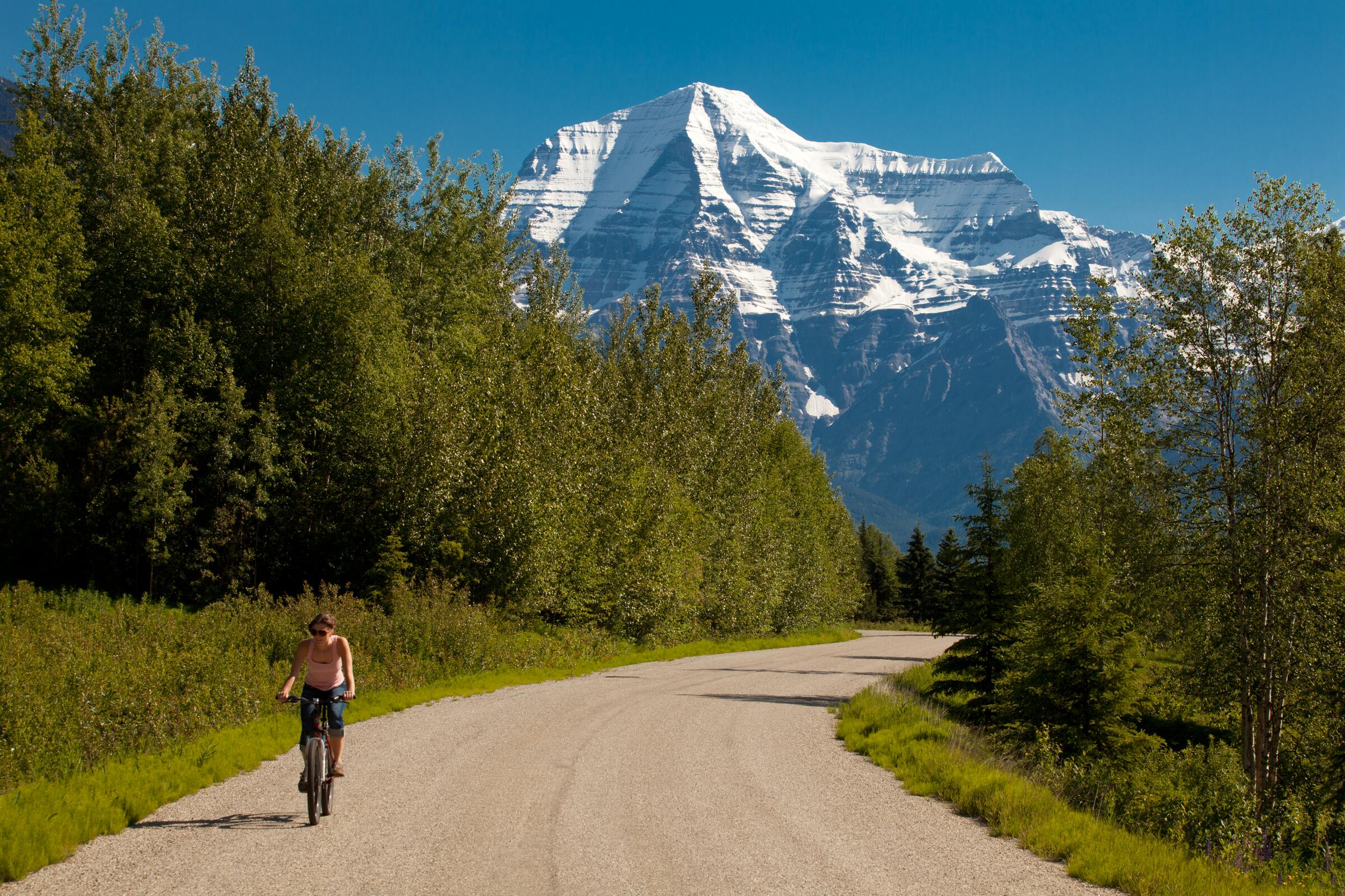
Photo: Thompson Okanagan Tourism AssociationMount Robson, BC
Kettle Valley Railway Midway Loop
352 km · 3369 m up
AmbitiousSome traffic sharingFast-road sections · 72 kmMostly gravelChunky gravelSome climbing

A 352 km loop from Midway through Myra Canyon's Kettle Valley rail grade, then wine country roads around Naramata, Penticton, Oliver, and Osoyoos, back over Anarchist Summit. Mapped by Penny Lawless, it's rated easy to moderate.

Stops, map + getting there →
Okanagan Feast
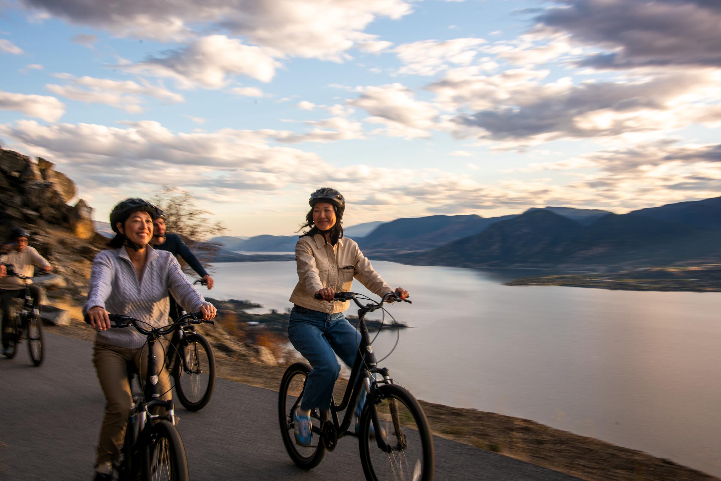
Photo: Hubert KangNaramata, BC
Okanagan Feast
238 km · 4598 m up
AmbitiousLow-traffic ridingMostly gravelChunky gravelLots of climbing

A four-day, 238 km loop around the south end of Okanagan Lake from Kelowna, mapped by Cameron Fenton, linking rail trail, gravel backroads, and singletrack. Paced for winery, brewery, and food stops, best ridden at harvest time.

Stops, map + getting there →
Seymour Arm Overnighter
Photo: Kari MedigNaramata, BC
Seymour Arm Overnighter
176 km · 4446 m up
EpicLow-traffic ridingFast-road sections · 3 kmAlmost all gravelMax climbingRemote stretches

A 175 km, mostly unpaved overnighter through two Monashee mountain valleys near Sicamous, mapped by Dario Dulic. Steep gravel climbs up to 20 percent grade and 3,778 m of elevation gain, with a resupply stop in the remote village of Seymour Arm.

Stops, map + getting there →

Kootenay Rockies · 7

Flathead Valley
Photo: Kari MedigCrawford Bay, BC
Flathead Valley
292 km · 4048 m up
ChallengingShares roads with trafficFast-road sections · 66 kmMostly gravelLots of climbingRemote stretches

A 291 km loop through southern BC from Fernie, one of ten routes in Ryan Correy's guidebook 'Bikepacking in the Canadian Rockies.'

Stops, map + getting there →
Kootenay Flathead Fandango
Photo: Reuben KrabbeGolden, BC
Kootenay Flathead Fandango
547 km · 9268 m up
AmbitiousShares roads with trafficFast-road sections · 80 kmMostly gravelLots of climbingRemote stretches

A roughly 1,200 km gravel-focused loop from Fernie through the Flathead into Montana, Idaho, and Washington and back into the Kootenays, following portions of the Great Divide Mountain Bike Route and BC Epic 1000. Mapped by Megan Dunn, it mixes forest service roads, some pavement, a short singletrack stretch, and one demanding hike-a-bike descent through bear country, with a free ferry crossing of Kootenay Lake near Nelson.

Stops, map + getting there →
Kootenay-Miller Pass
Photo: Kari MedigKaslo, BC
Kootenay-Miller Pass
79 km · 1377 m up
ChallengingSome traffic sharingMostly gravelChunky gravelLots of climbingRemote stretches

An 80 km overnight loop from Nipika Mountain Resort into the East Kootenays, mapped by Peter Fordham, climbing to Miller Pass before a rugged, overgrown descent that calls for bike-hiking and solid navigation.

Stops, map + getting there →
Lakes and Hot Springs Loop
Photo: Dave HeathKaslo, BC
Lakes and Hot Springs Loop
551 km · 9866 m up
ChallengingShares roads with trafficMostly fast roadsMostly gravelLots of climbingRemote stretches

A 550 km figure-eight route through the Central Kootenays from Nakusp, mapped by Ali Becker and Mat Leblanc, passing fourteen lakes, three hot springs, and two free ferry crossings plus a cable car over Carpenter Creek. Moderate to challenging, mostly for its remoteness through grizzly, black bear, cougar, and wolf territory.

Stops, map + getting there →
The Great Granby Loop
Photo: Kari MedigKaslo, BC
The Great Granby Loop
477 km · 7345 m up
ChallengingLow-traffic ridingFast-road sections · 80 kmMostly gravelChunky gravelLots of climbingRemote stretches

A 475 km, five-to-seven day loop through the West Kootenays from near Castlegar, mapped by Ali Becker and Mat Leblanc. Rail trails, forest service road climbs, and paved connectors through old mining and forestry towns, with a free cable ferry and side trips to hot springs and alpine lakes.

Stops, map + getting there →
Top of the World
Photo: Kari MedigKimberley, BC
Top of the World
347 km · 6340 m up
AmbitiousSome traffic sharingFast-road sections · 15 kmMostly gravelLots of climbingRemote stretches

A 347 km loop through southern BC from Cranbrook, one of ten routes in Ryan Correy's guidebook 'Bikepacking in the Canadian Rockies.'

Stops, map + getting there →
Two Lake Tootle
Photo: Mitch WintonNakusp, BC
Two Lake Tootle
145 km · 2093 m up
AmbitiousShares roads with trafficAlmost all gravelLots of climbing

A 145 km, two-to-three day gravel loop from Invermere up to lakeside Recreation Sites at Cleland Lake and Dogleg Lake, with an optional cafe detour to Spillimacheen. Two significant climbs, and free first-come-first-served lakeside camping along the way.

Stops, map + getting there →
← All route makers
Do you publish well-documented cycling routes in BC — road, gravel, touring, or family rides?

We're interested in learning more about where you love to ride. Drop us a note and tell us what you publish.

hello@bccycletourism.ca