Issue #4 · Monthly newsletter on cycle tourism in British Columbia
It's the end of September in BC. The mornings are crisp, the campgrounds are quieter, and some of us are wondering when to call it a season (tell us in this month's poll).
This issue lands on September 30, the National Day for Truth and Reconciliation. Our feature, Riding through Indigenous BC, is a guide to Indigenous-owned places to stay, eat and learn along BC's bike routes.
October is a busy month for us, and we'd love to meet you. See where we'll be under Talks and appearances. Come say hi!
September 30 is the National Day for Truth and Reconciliation. It's a day to remember the children who were sent to residential schools, and the ones who never came home.
It's also a good day to think about whose land we ride on, and where our money goes when we travel.
A bike gives you time for both. You move slowly, you stop in small places, and you spend your money close to where you sleep. Indigenous Tourism BC suggests choosing the Indigenous-owned lodge over the chain hotel, or a meal with an Indigenous host over a fast-food stop. Most of us are curious, too: the Conference Board of Canada found 88% of people in Canada are interested in Indigenous cultural activities.
A night in a lodge isn't reconciliation. But it's a start to know whose territory you're riding through, and to spend some of your trip with the people who live there.
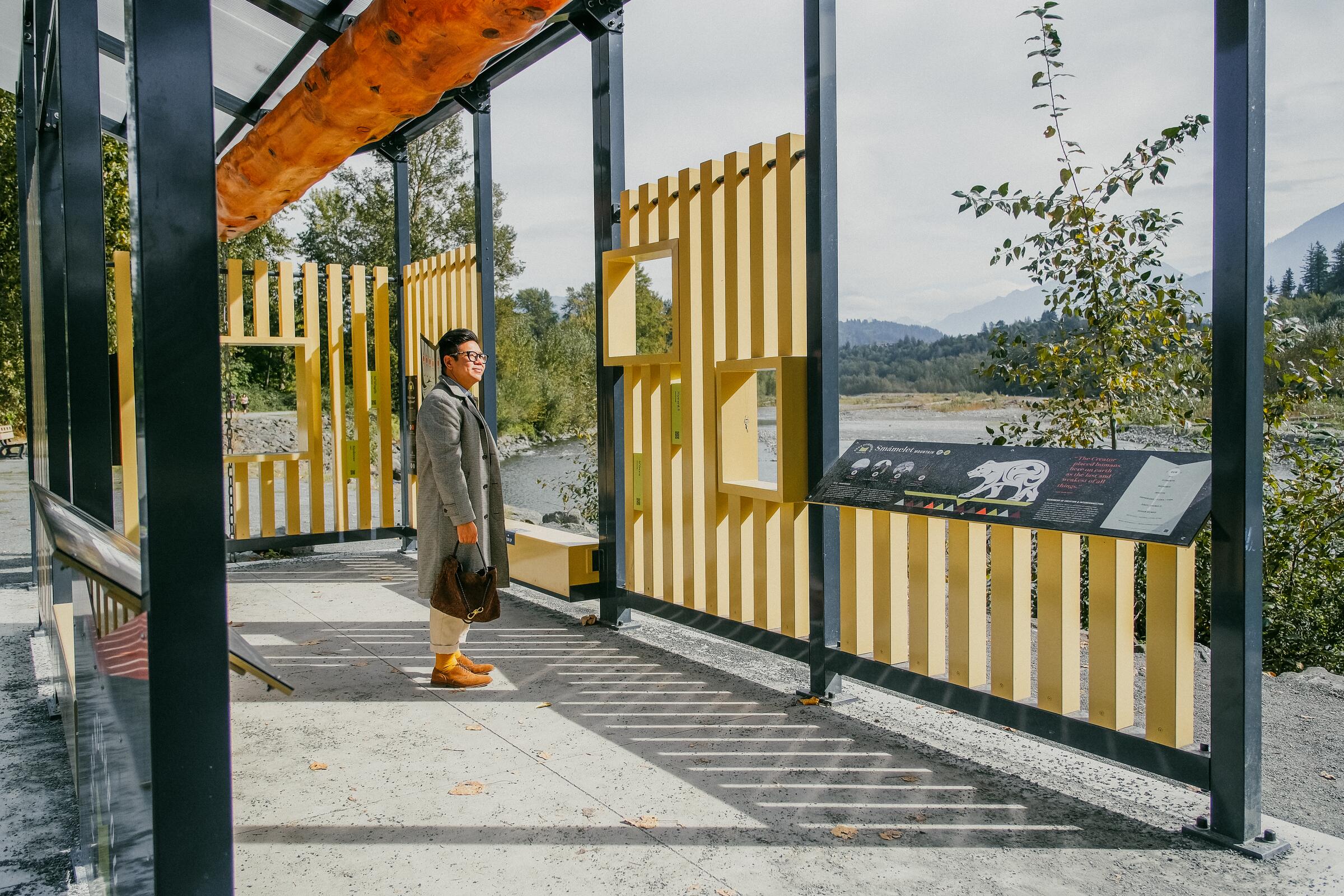
Many paths you probably already ride have new art and signs made by local First Nations.
Chilliwack, BC · Photo: Viranlly Liemena
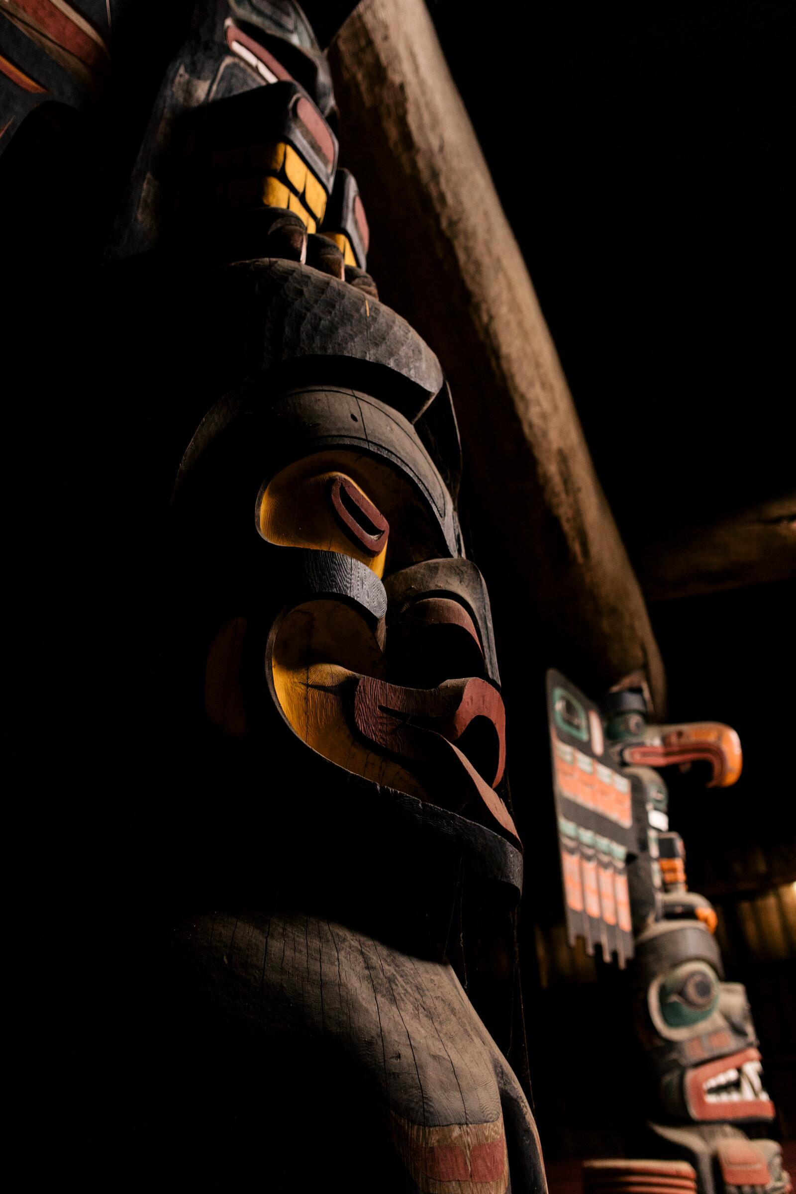
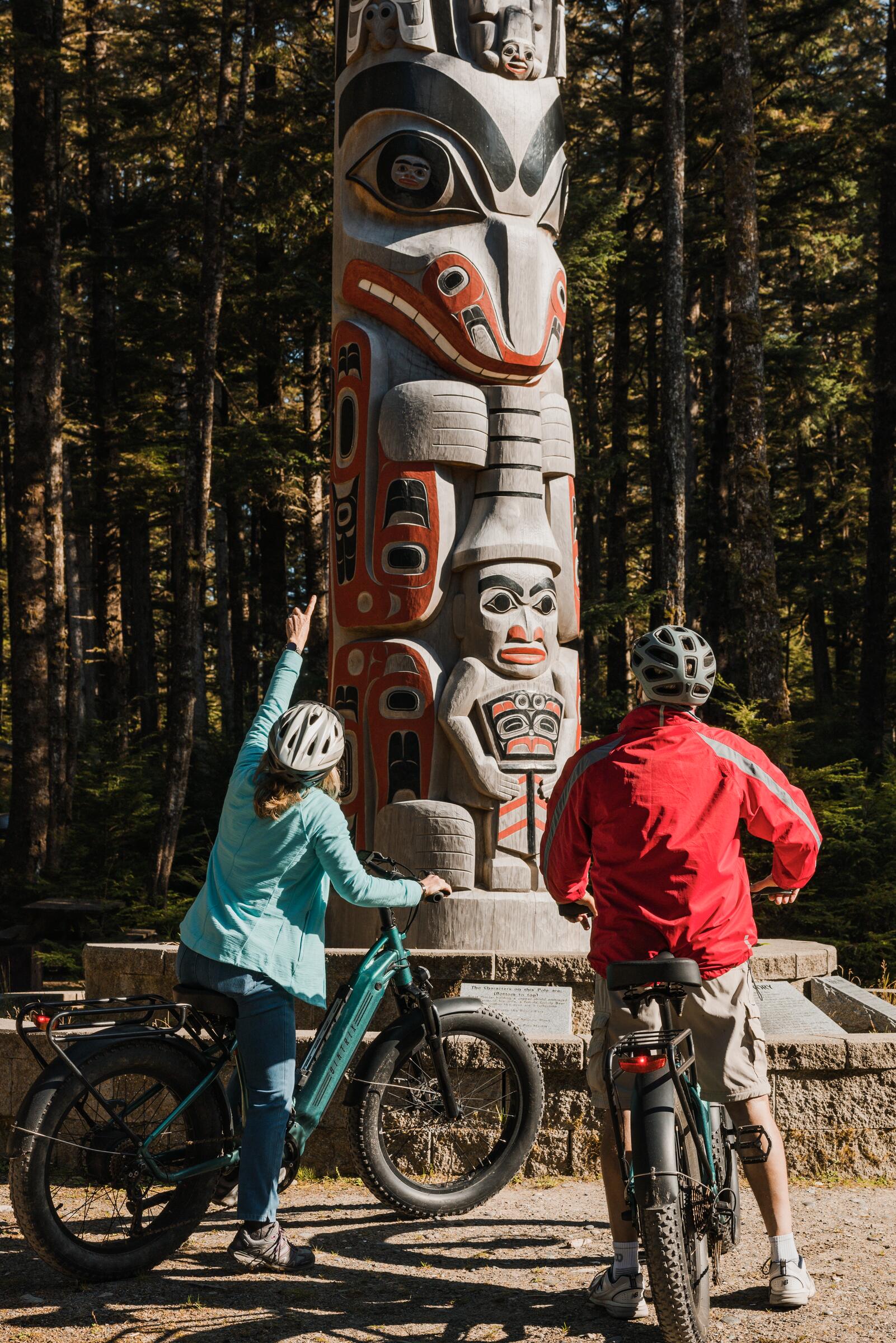
Vancouver. Next time you ride the Seawall, stop at Brockton Point in Stanley Park for the poles and Susan Point's three carved gateways. In Port Moody, five Coast Salish house posts went up along the Shoreline Trail between 2025 and this spring, one from each of five host Nations. Ride the paved path. Some posts sit on the gravel trail or the Pigeon Cove boardwalk, where you walk your bike. Nearby, the Traboulay PoCo Trail follows the Coquitlam River past "Continuum," panels made with the Kwikwetlem First Nation.
Victoria. Around the Inner Harbour, seven bronze spindle whorls by Songhees carver Butch Dick mark places the Lekwungen people named. A spindle whorl is the carved wooden disc Coast Salish weavers use to spin wool. Start at Songhees Point. The walkway there is for people on foot, so walk your bike from one whorl to the next. The E&N Rail Trail itself was built with the Songhees and Esquimalt Nations as partners.
Okanagan. On the Okanagan Rail Trail, the gateway at Km 0 by Kalamalka Lake has panels on Syilx people, language and culture, written in n̓syilxcən. The Okanagan Indian Band's fluent speakers set the spelling, and the words are written without capital letters, as a sign of equality. The Km 0 page has audio for the pronunciations. Riding out of Kelowna, turn off at Pelmewash Parkway in Lake Country, where three sculptures by Syilx artists Clint George and Les Louis stand a short distance from the trail.
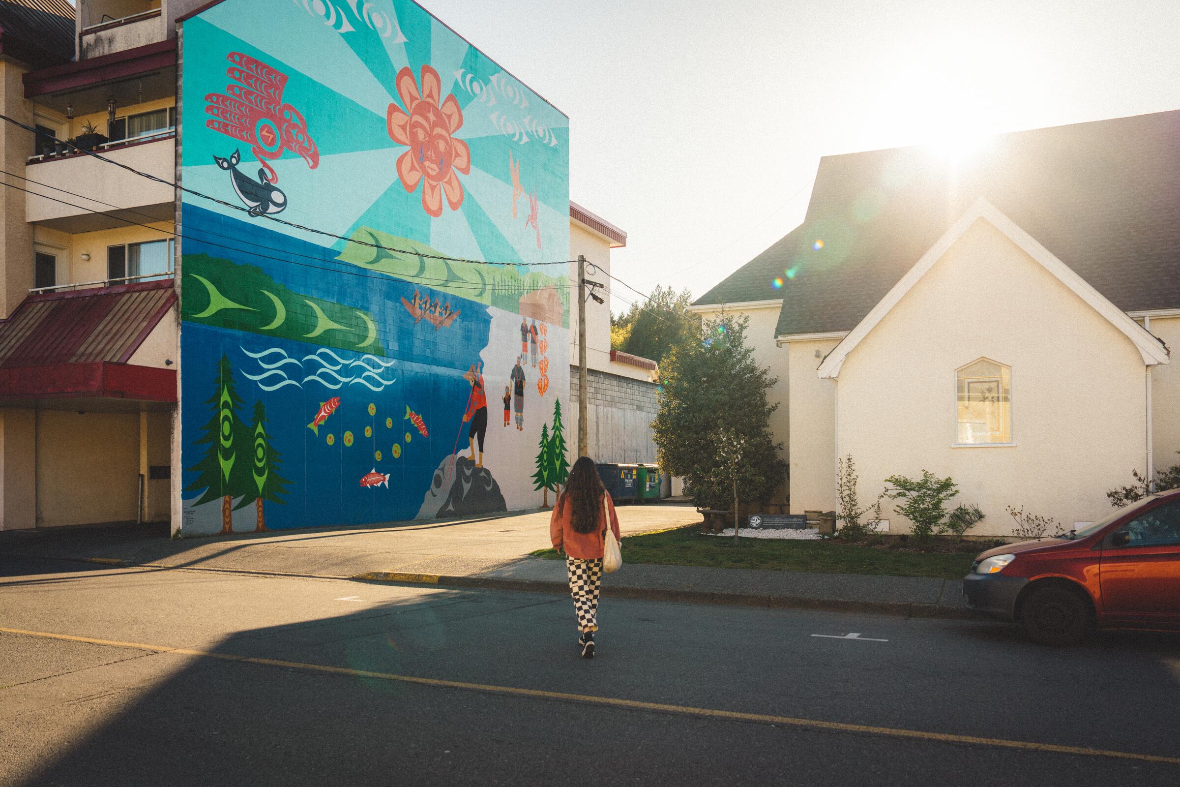
Duncan, BC · Photo: Rob Wilson
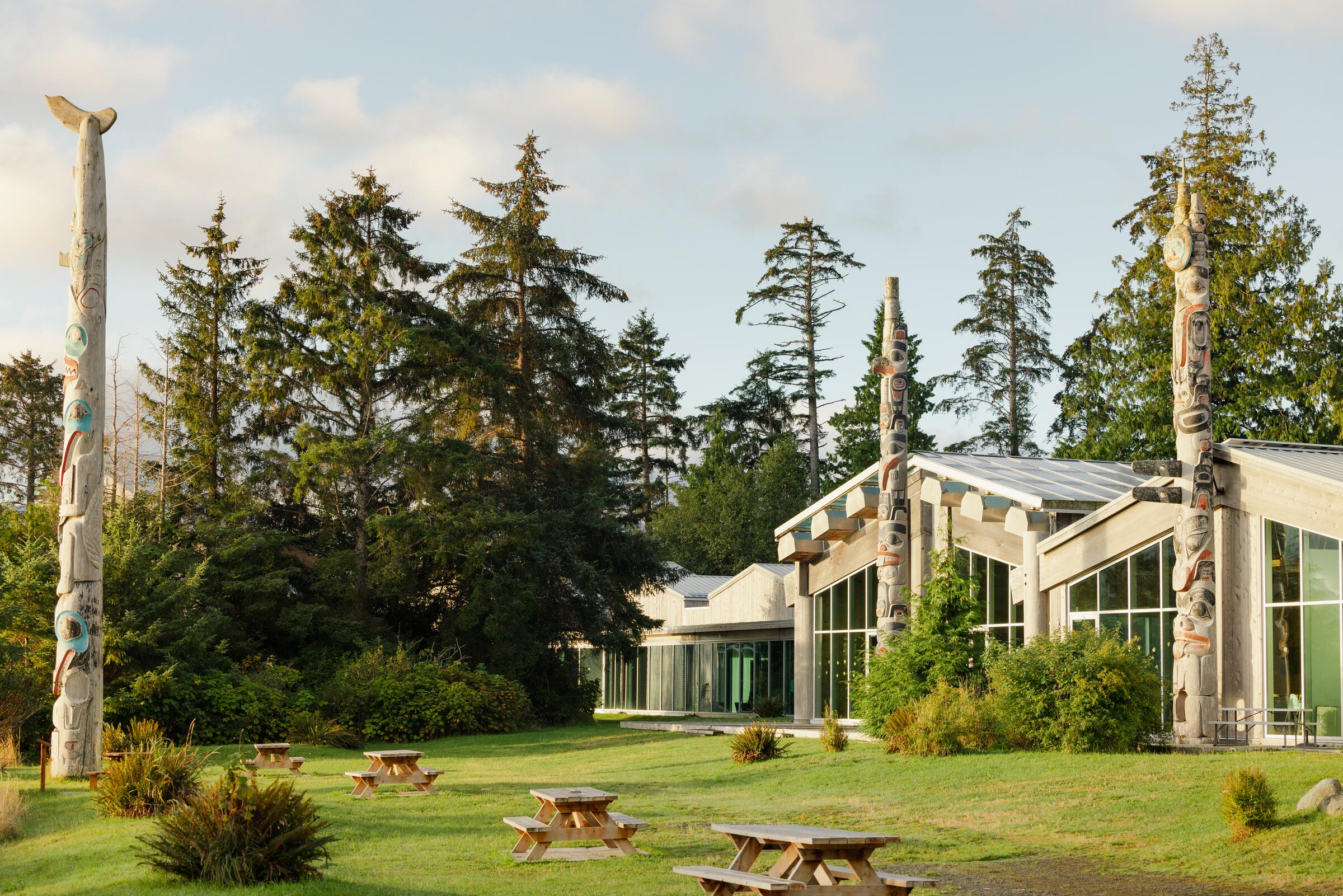
Cowichan. Duncan calls itself the City of Totems. Its self-guided tour follows yellow footprints painted on the streets past 43 poles. It's a walking tour, so lock your bike downtown. Look for Coast Salish artist Charlene Johnny's mural, Nanum'IyusTth'ele (A Meeting of Happy Hearts).
A few things to know: some poles are meant to weather and return to the earth, so a leaning or mossy pole isn't a neglected one. Mortuary and memorial poles honour the dead. At burial grounds, like the one in Alert Bay, view from the road. And if a sign says a road or an area is closed or local traffic only, that includes you on a bike.
ʔapsčiik t̓ašii is the 25 km paved path between Tofino and Ucluelet through Pacific Rim National Park Reserve. An Elders' working group from the Tla-o-qui-aht and Ucluelet First Nations named it when it opened in 2022. The name means "going the right way on the path," and it also carries the teaching to speak the truth. It's pronounced "ups-cheek ta-shee," and Parks Canada has a recording of Tla-o-qui-aht Elder Kaamatḥ, Levi Martin, saying it.
Indigenous-led cycling businesses are still rare. T̓iick̓in E-bikes is one, a family business with deep roots in the Ucluelet First Nation. They rent e-bikes at the Tofino–Ucluelet junction, right where the path starts. Their hours change with the season, so call ahead (250-266-3482). You can also pick up their bikes at Tin Wis.
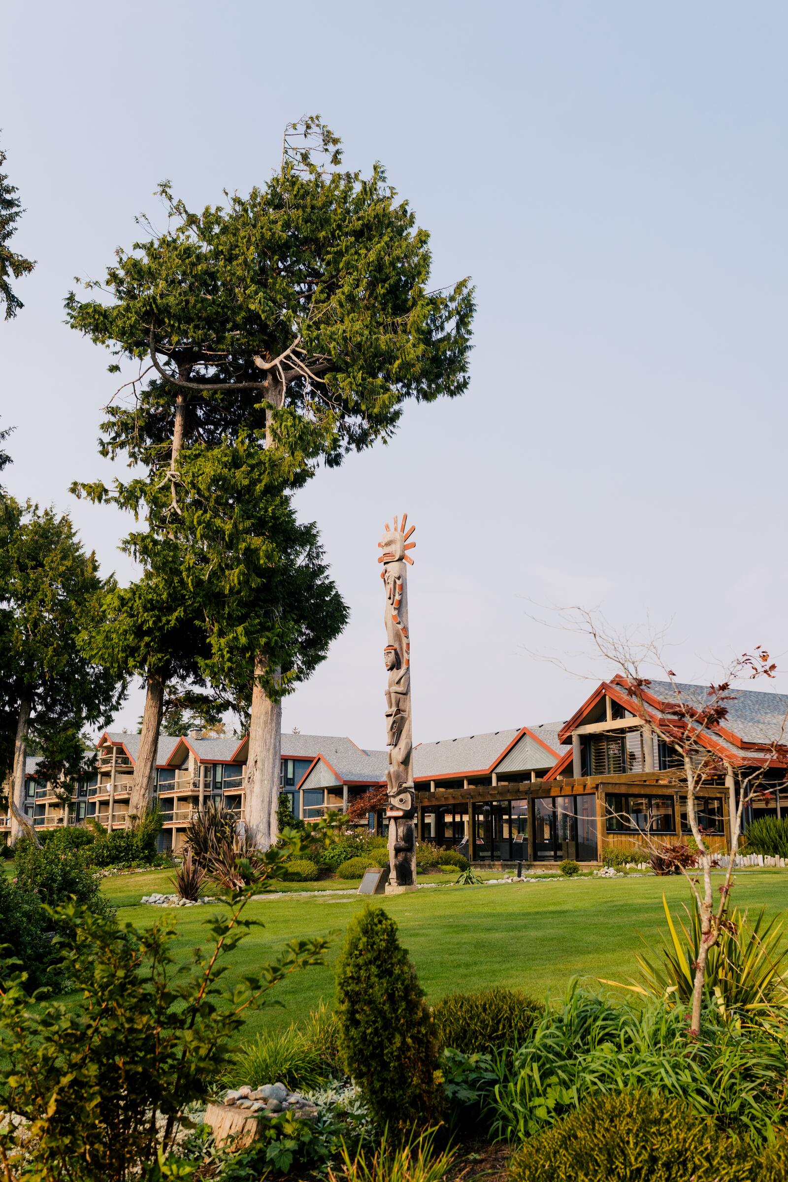
Sleep at the Tla-o-qui-aht Nation's Tin Wis Resort, an 85-room hotel on tinwis Beach about 400 m from the Tofino path, or at the Ucluelet First Nation's Wya Point, with oceanside tent sites and hot showers on 600 acres of old growth, 1.4 km off the path. In downtown Tofino, Himwitsa Lodge shares a building with the House of Himwitsa gallery and its smoked fish store. Roy Henry Vickers' gallery, which he built in 1986, is 300 m from the path.
South Okanagan
The Kettle Valley Rail Trail and the South Okanagan–Similkameen bike network.
The Osoyoos Indian Band's sx̌ʷəx̌ʷnitkʷ campground at Okanagan Falls is about 100 m from the Kettle Valley Rail Trail, beside the river's little falls. Ride south on the bike network to Osoyoos, where the band runs the Nk'Mip Desert Cultural Centre, a campground on Osoyoos Lake, Canada's warmest, and Nk'Mip Cellars, which calls itself the first Indigenous-owned winery in North America. All three are within about a kilometre of each other, a good argument for a two-night stop in Osoyoos. The band's sẃiẃs (Haynes Point) campground is on the same network. (The Penticton Indian Band's section between Summerland and Kaleden is closed, so you can't ride the trail down from Penticton.) Up the valley in Westbank, the Sncewips Heritage Museum and Kekuli Cafe are both worth a stop.
Victoria to Port Renfrew
The Port Renfrew–Cowichan loop.
The route heads into old-growth country on BC's southwest coast, and Port Renfrew, where the San Juan River meets the sea, has been Pacheedaht territory for thousands of years. Their campground sits right on the route: beachfront, riverside and forest sites between two rivers, open year-round. Start the ride at Ship Point on the Inner Harbour, where Songhees Tours leaves for canoe and walking tours with Lək̓ʷəŋən hosts.
North Island by ferry
The Island touring route north from Courtenay, with ferries to Quadra and Alert Bay.
Alert Bay, BC · Photo: Jordan Dyck
From Campbell River, a short ferry reaches Quadra Island, where the We Wai Kai campground borders Rebecca Spit, and the Nuyumbalees Cultural Centre at Cape Mudge holds part of the potlatch collection that came home in 1979. Call ahead for hours. Farther north, take the ferry from Port McNeill to Alert Bay for the U'mista Cultural Centre, which holds regalia the government took after a 1921 potlatch and that has since come home. If you stay the night, the 'Namgis First Nation has fourteen cabins with kitchens. At the top of the Island, the Kwa'lilas Hotel in Port Hardy is right on the last few kilometres of the route. Kwa'lilas means "a place to sleep" in Kwak̓wala. Gwa'sala-'Nakwaxda'xw Elders chose the art and design inside, and there's a pub and restaurant downstairs.
Highway 16 and Haida Gwaii
Highway 16 along the Bulkley and Skeena rivers, then the ferry and the Haida Gwaii route.
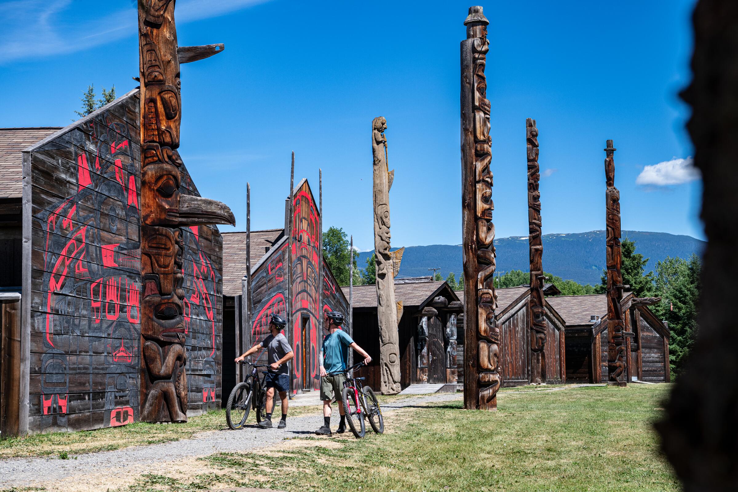
Near Hazelton, 'Ksan Historical Village sits on Gitxsan land where the Skeena and Bulkley meet, with a museum, longhouses and a campground, 2 km off the route. At Witset, the Widzin Kwah Canyon House Museum overlooks the canyon where Witsuwit'en people still fish. Between Terrace and Prince Rupert, Kitsumkalum's Kasiks is right on the highway with hot showers and a restaurant on site, so there's no dinner to carry.
Skidegate, BC · Photo: Shayd JohnsonHaida Gwaii, BC · Photo: Shayd Johnson
The ferry from Prince Rupert takes you to Haida Gwaii, an archipelago the Haida have called home for at least 13,000 years. Old-growth cedar runs to the edge of the sea, the towns are small, and the art is everywhere. The Haida Heritage Centre at Ḵay Llnagaay in Skidegate has the Haida Gwaii Museum, carving sheds and a restaurant, 100 m off the route. Near North Beach, the Old Massett Village Council's longhouse cabins at Hiellen have wood fireplaces, with tent sites beside them.
A few more places worth a stop
These don't belong to a single route, but each is worth planning a day around.
Kamloops. The Secwépemc Museum & Heritage Park is run by Tk'emlúps te Secwépemc. Its programs include the history of the former Kamloops Indian Residential School, which stands next to the park.
North Shore.Takaya Tours takes you out from Cates Park in 35-foot ocean-going canoes, with Tsleil-Waututh guides. The North Shore bike routes get you there easily.
Lillooet. On the Great Northern Bikepacking Route north of town, Xwísten Experience Tours brings you to the Bridge River fishing rocks, a salmon fishery thousands of years old, with a grill on site.
Vancouver. Among the big institutional museums, the University of British Columbia's Museum of Anthropology (MOA) is the one to see. It holds a major collection of Northwest Coast art, admission is free for Indigenous visitors, and their own directions warn that the ride up to campus is hilly.
Victoria. The Royal BC Museum closed its First Peoples galleries in 2022. Jonathan Hunt House and Our Living Languages have since reopened, but Totem Hall is still closed.
This is just a selection of Indigenous-owned accommodations, those near a trail. For more Indigenous businesses across BC, see Indigenous Tourism BC.
Fraser Valley
Fraser River Lodge, Cheam First Nation, near Agassiz. A kilometre off the Canyon to Coast Trail loop, with dining on site, Mount Cheam out the window and a resident bison herd.
Vancouver Island
Pacheedaht Campground, Port Renfrew. On the Port Renfrew–Cowichan loop; beach, river and forest sites, open year-round.
Qualicum First Nation Campground, where the Big Qualicum River meets the sea. On Highway 19A, first-come tent sites, May to September.
Puntledge RV Park and Campground, K'ómoks First Nation, Courtenay. Under a kilometre from the Courtenay Riverway and a short walk from downtown; showers and laundry.
We Wai Kai Campground, Quadra Island. Beside Rebecca Spit, a paved ride from the ferry, tent sites.
The Cabins at Alert Bay, 'Namgis First Nation. Fourteen cabins with kitchens, a short ride from the ferry.
Kwa'lilas Hotel, Port Hardy. On the touring route's last kilometres; pub and restaurant downstairs.
Tin Wis Resort, Tla-o-qui-aht Nation, Tofino. 85 rooms on tinwis Beach, breakfast included, 400 m from the Tofino path.
Tsawaak RV Resort, Tla-o-qui-aht Nation, Tofino. 300 m from the path, only five tent sites, so book early.
Himwitsa Lodge, downtown Tofino. Gallery and smoked fish store in the same building.
Wya Point, Ucluelet First Nation. Oceanside tent sites and hot showers on 600 acres of old growth, 1.4 km off ʔapsčiik t̓ašii; reserve online, no walk-ups.
Lillooet and the Fraser Canyon (bikepacking routes)
Retasket Lodge, T'it'q'et community, Lillooet. A 20-room motel on a hilltop above town, right on the Great Northern.
Lil'tem' Mountain Hotel, Tsal'alh Band, Seton Portage. Hotel and cabins between Anderson and Seton lakes, on the Great Northern and The Big Griz.
Spapium Farm, Nlaka'pamux heritage farm near Lytton, farmed since 1882. Ten campsites on the Coast Mountains Bikepacking route.
Tuckkwiowhum Campground, Boston Bar First Nation. 400 m off Highway 1, with showers and a heritage village on site.
Nk'Mip Campground, Osoyoos Lake. Beach and indoor pool, a kilometre from the network; priced for RVs more than tents.
Kootenays
Ainsworth Hot Springs Resort, owned by the Lower Kootenay Band (Yaqan Nukiy) of the Ktunaxa Nation since 2015, right on the Kaslo–Slocan loop above Kootenay Lake. The hot pools include a 150-foot horseshoe cave the Ktunaxa have used for healing since time immemorial. Nearby, the Slocan Valley Rail Trail has panels at Slocan Narrows and Vallican about more than 3,000 years of Indigenous settlement.
Highway 16 and Haida Gwaii
Key-oh Lodge, Burns Lake. A 42-room hotel right on Highway 16.
Witset Campground, beside the Bulkley. Showers, laundry and charging; the canyon museum is a short walk.
Kasiks, Kitsumkalum, between Terrace and Prince Rupert. Right on the highway, hot showers and a restaurant on site.
Crest Hotel, Prince Rupert. Gitxaała-owned since 2023.
Haida House at Tllaal, Tlell. Lodge rooms, cabins and a dining room on the river, on the Haida Gwaii route.
Gwaii Naay Island House, Masset. The first Haida-owned hotel in town, six rooms in a former Red Cross hospital.
Hiellen Longhouse Village, North Beach, run by the Old Massett Village Council. Cedar longhouse cabins with wood fireplaces, and tent sites.
The BC Bike Stops directory has an "Indigenous tourism" filter in the sidebar with three boxes: Owned, Operated, and Culture & heritage. Tick any of them and the map shows only those places, in every category from campgrounds to cafes. That link opens it with all three ticked. Zoom in on your route to see what's along the way.
Indigenous Tourism BC has a free app, too. And read their Travel Responsibly page before a trip; it's short and good.
Better Environmentally Sound Transportation (BEST) is marking 35 years with an evening panel, "Building Streets for Life: How to Create a City for All Ages," at Creekside Community Centre in Vancouver. Event →
Oct 28–30
Presenting at the Active Transportation Summit
Directors Heather Piwowar and Colleen MacDonald are presenting on cycle tourism in BC at the BC Cycling Coalition's summit in Victoria. Find us in the hall and say hi. Summit →
Jan 19
Attending in January
The Vancouver, Coast & Mountains Industry Forum, Destination BC's yearly gathering for tourism businesses in the region, has moved from October 15 to January 19. Heather Piwowar will be there. Reach out so we can find each other at a coffee break.
In August we asked what stop you dream about on a hot afternoon. "A lake, obviously!" won with 2 of 5 votes, and the freezie, the pint and the berries got one each. Nobody chases the breeze.
Weigh in on this month's question:
News from the field
Mid-September
New Richmond stop for the Massey Tunnel bike shuttle
Heading for the Tsawwassen ferry? The free bike shuttle through the George Massey Tunnel has moved, it now picks up southbound riders at the Highway 99 on-ramp at Steveston Highway, not Rice Mill Road. Each trailer takes up to eight bikes, and e-bikes under 25 kg are fine. Schedule →
Oct 17 and Oct 24
Heading into two elections
BC votes twice this fall: local elections October 17 and the provincial election October 24. Going in, local governments at the Union of BC Municipalities convention voted on two asks for the province that matter for cycling. First, treat rural highways as active transportation routes and maintain them with cyclists in mind; chip seal on roads with no usable shoulder was their example. Second, restart its paused grants for bike paths and other active transportation. The Okanagan-Similkameen regional district also asked Premier Eby to keep sections of the Kettle Valley Rail Trail near Princeton. The resolutions →Regional district →
BC Trip Reports
People keep writing about riding BC. A few favourites from the past month.
Aug 31
A last-minute train overnighter
Nick Dormaar took the train from Prince George to McBride for a solo overnighter in the Robson Valley: a washed-out forestry road, a night near the alpine, and back to the station just ahead of the rain. Weekend Snapshot →
September
Three from Powell River
Emily Heron's sixth 10 Lakes Overnighter ("bring tents with floors in mice territory"), and Miles Arbour's crew on the Powell River Sampler, taking transit south to Saltery Bay. Heading to Texada? Boomtown Bike Shop has illustrated zines for the Texada Ridge Runner. Snapshot #247 →Snapshot #249 →Zines →
Ride along with us
The next Dispatch lands in your inbox soon. Subscribe to receive it.