
Tofino–Ucluelet
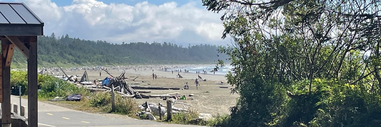
This route follows the Pacific Rim Highway (Hwy 4) between Tofino and Ucluelet, with a dedicated multi-use path for much of the distance. The ride passes through Pacific Rim National Park Reserve, with access to Long Beach, rainforest trails, and the Pacific Ocean.
The route passes through the Tla-o-qui-aht First Nation community of Esowista and the Ucluelet First Nation community of Hitacu. Both are on the route and have growing tourism infrastructure.
Tofino and Ucluelet are full-service towns with accommodation, food, and bike rentals.
Getting there
Drive from Nanaimo via Hwy 4 (3 hr). BC Ferries from Horseshoe Bay to Nanaimo.
Getting away
Reverse the ride.
Cyclist-friendly stops along this route
Cafés that don't mind your cleats, shops that'll help with a flat, places to stay with secure bike storage. These stops have been checked for what touring cyclists actually need.
Know a place that goes the extra mile for cyclists?
Help us find the stops that make this route great.